Our day-by-day itinerary
The map shows the numbered stops in visiting order, with one colour per day. The line follows the roads where available; otherwise it joins the stops as the crow flies. Distances and times are approximate (by car, without traffic).
Day 1 — Arche de Padule to Désert des Agriates
This day brings together 3 sites close to each other: natural wonders and beaches. It passes through Santo-Pietro-di-Tenda. Allow half an hour to an hour and a half per site, plus travel time.
Driving for the day: about 89.6 km, or 4 h 16 behind the wheel in total (excluding visits).
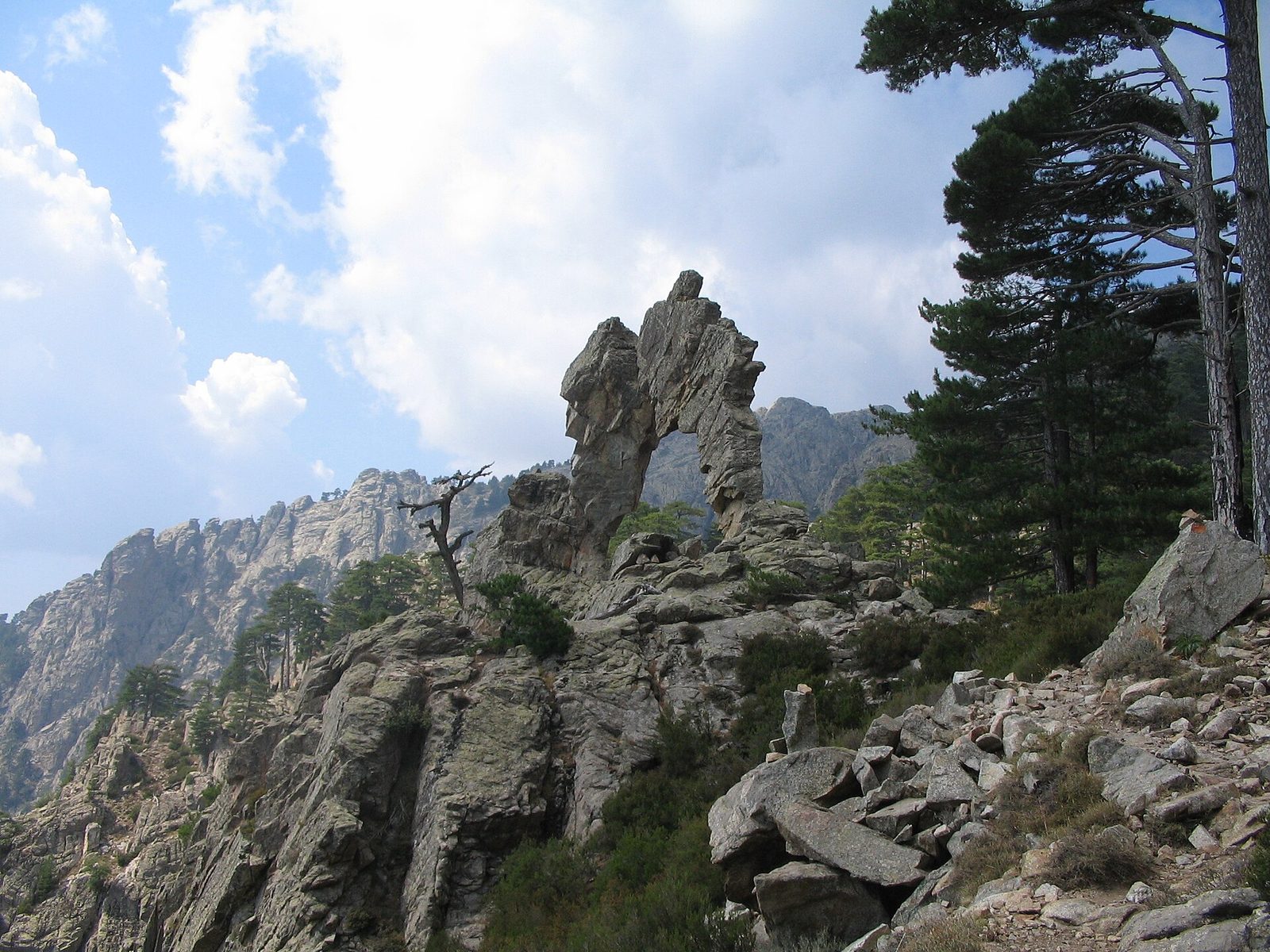
Natural wonders · Haute-Corse
At the exit of the Tavignanu defile, at the top of the Pinerole, the Padule arch is almost inaccessible at the end of the world. The quest for it makes its rare visitors real adventurers of the lost ark.
View full page →
↓ 83.3 km · about 3 h 29 by car to the next stop
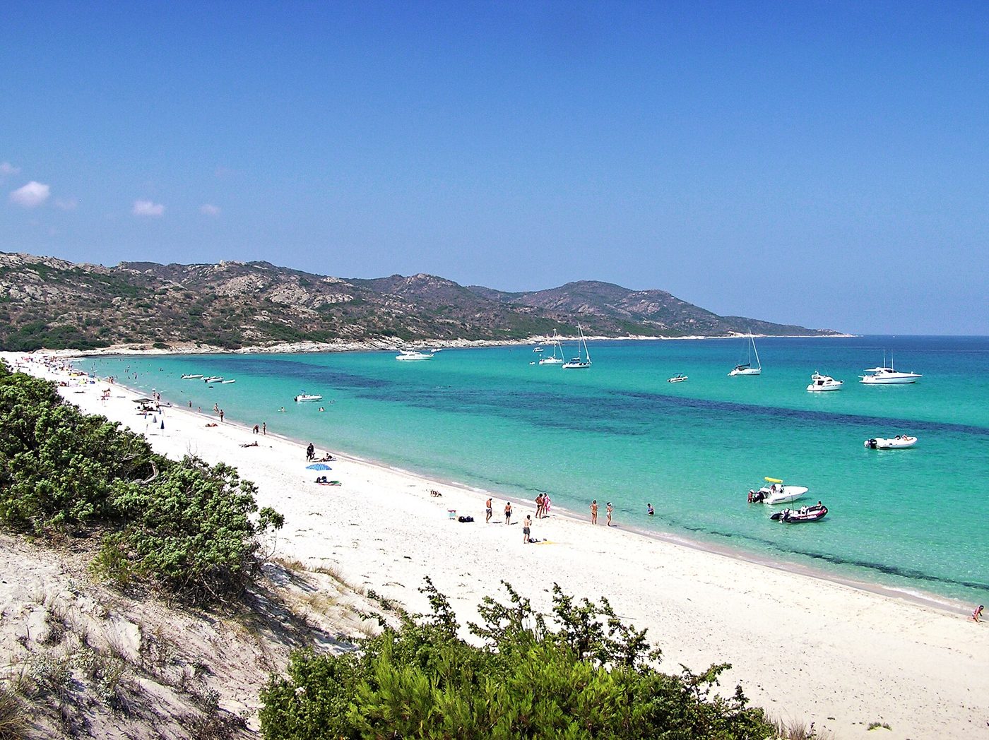
Beaches · Santo-Pietro-di-Tenda
White-sand beach in the Agriates desert, in Haute-Corse, bordered by dunes and a pine grove.
View full page →
↓ 6.3 km · about 47 min by car to the next stop
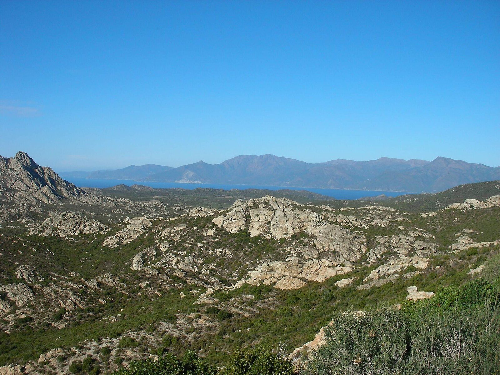
Natural wonders · Haute-Corse
Wedged between Cap Corse and the Balagne, the Agriates desert is a hostile and mysterious zone.
View full page →
Day 2 — Golfe de Porto to La vallée du Fango
This day brings together 4 sites close to each other: natural wonders and villages. It passes through Porto. Allow half an hour to an hour and a half per site, plus travel time.
Driving for the day: about 67.1 km, or 1 h 24 behind the wheel in total (excluding visits).
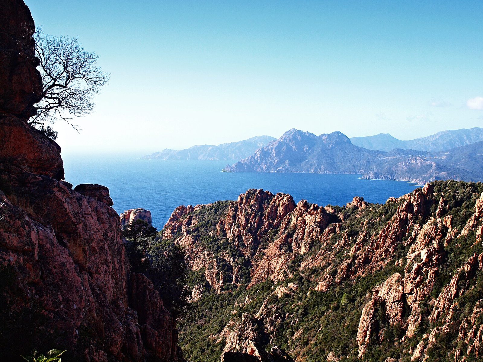
Natural wonders · Porto
A gulf on Corsica's west coast, UNESCO World Heritage, framed by the red cliffs of the Calanche de Piana and the Capo Rosso massif.
View full page →
↓ 0.6 km · about 1 min by car to the next stop
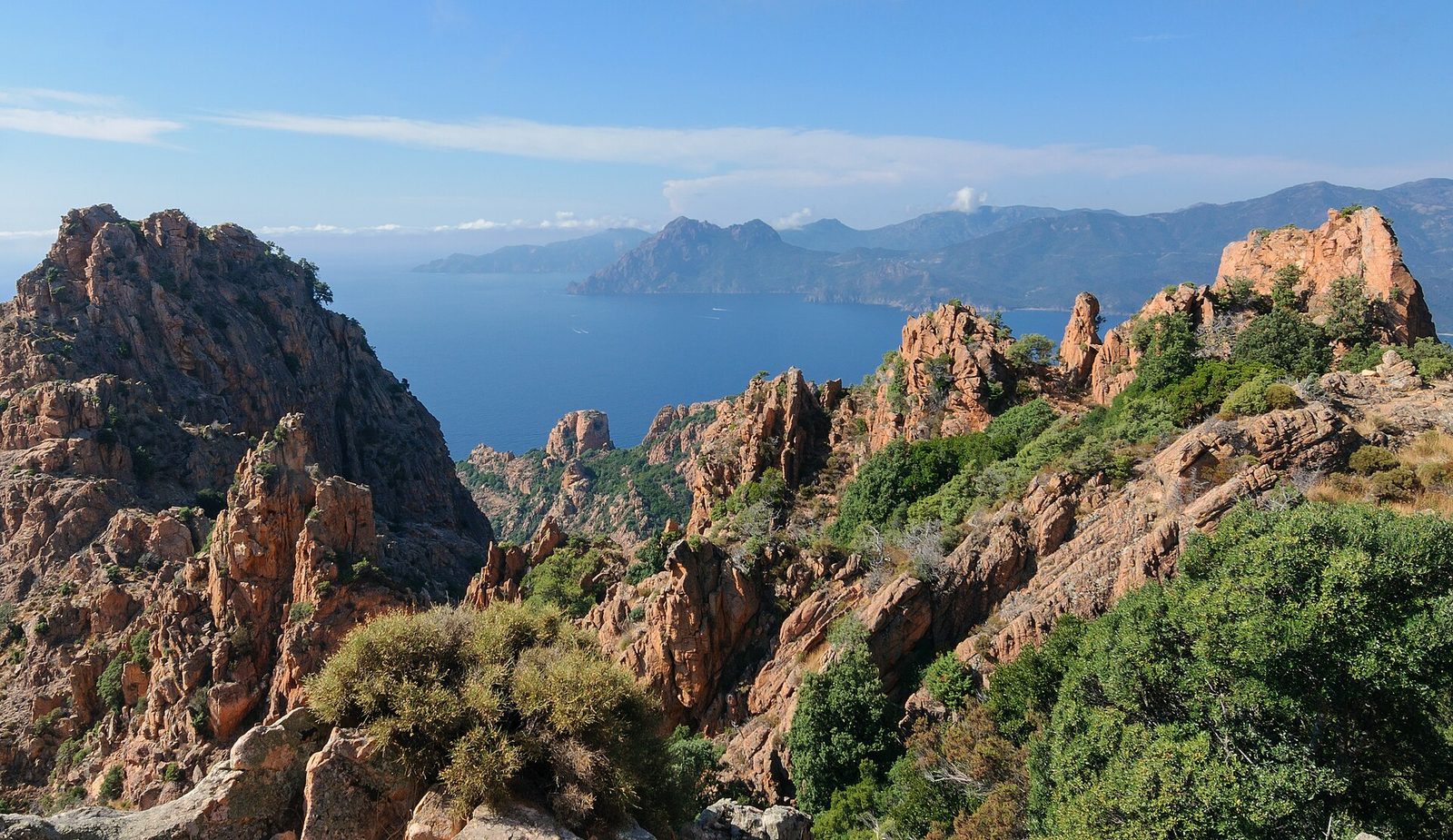
Natural wonders · Corse-du-Sud
Located in southern Corsica, between the villages of Piana and Porto, the splendid jagged rocks in phenomenal colours stand proudly above a sea of magical reflections.
View full page →
↓ 5.4 km · about 14 min by car to the next stop
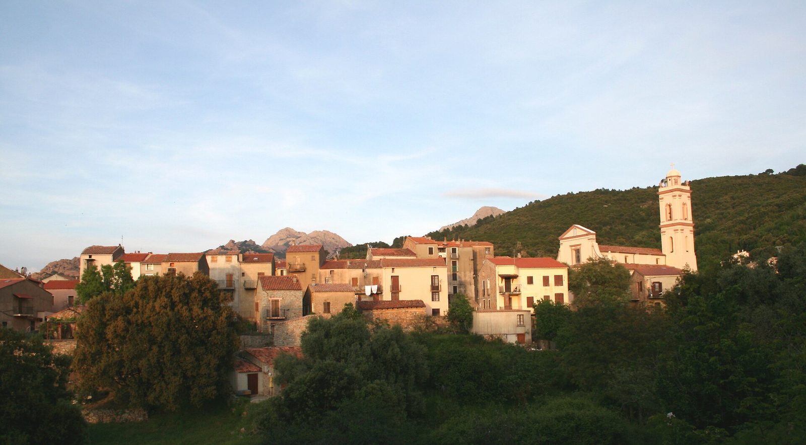
Villages · Corse-du-Sud
The village of Piana overlooks the Gulf of Porto, close to an exceptional place: the calanques of sumptuous beauty marrying the blue of the sea with all the pink and red tones of the granite cliffs.
View full page →
↓ 61.1 km · about 1 h 09 by car to the next stop

Natural wonders · Haute-Corse
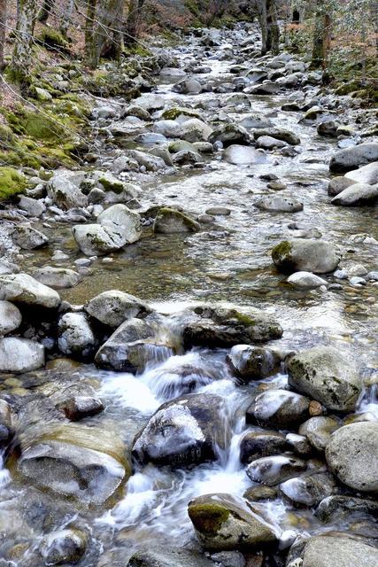
The Corsican river Fango offers magnificent panoramas, between waterfalls, pools and slides...
View full page →
Day 3 — Cascades d'Aïtone to Lac de Melo
This day brings together 5 sites close to each other: waterfalls, lakes and natural wonders. Allow half an hour to an hour and a half per site, plus travel time.
Driving for the day: about 102.0 km, or 5 h 07 behind the wheel in total (excluding visits).
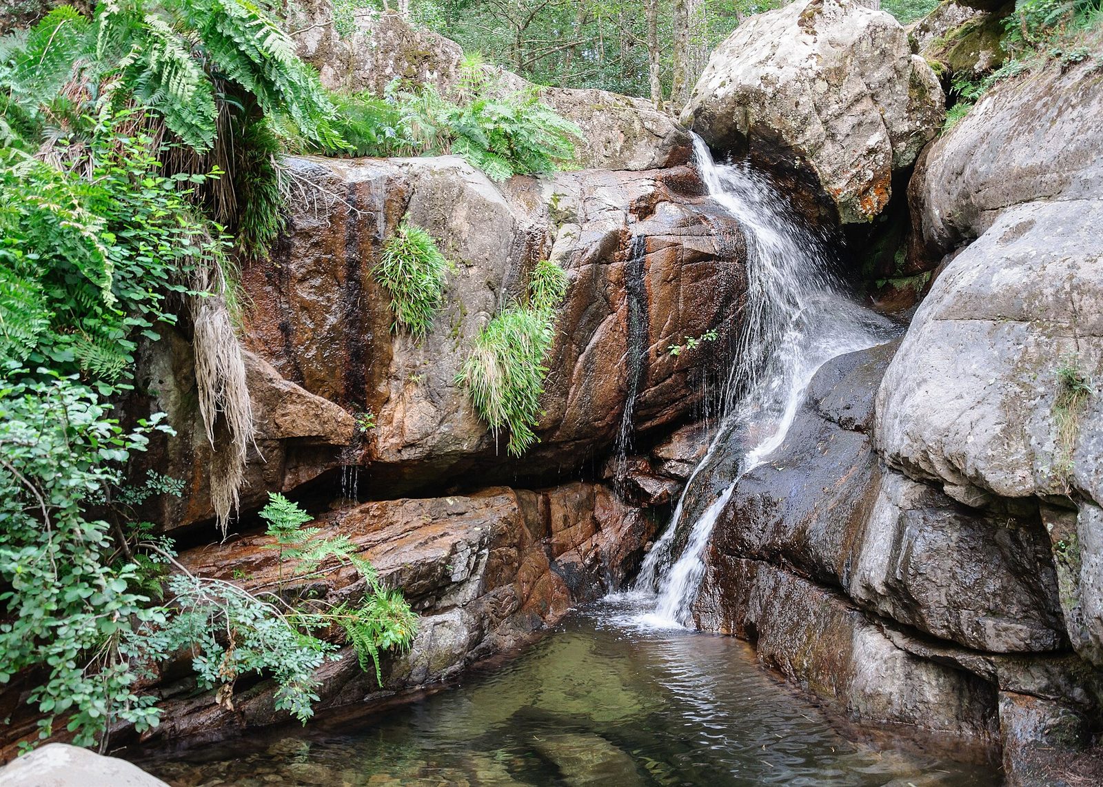
Waterfalls · Corse-du-Sud
The Aïtone waterfalls and pools are about 4 km after Evisa, following the D84. They are easy to reach from the road (allow about 15 to 20 minutes with children).
View full page →
↓ 11.1 km · about 12 min by car to the next stop
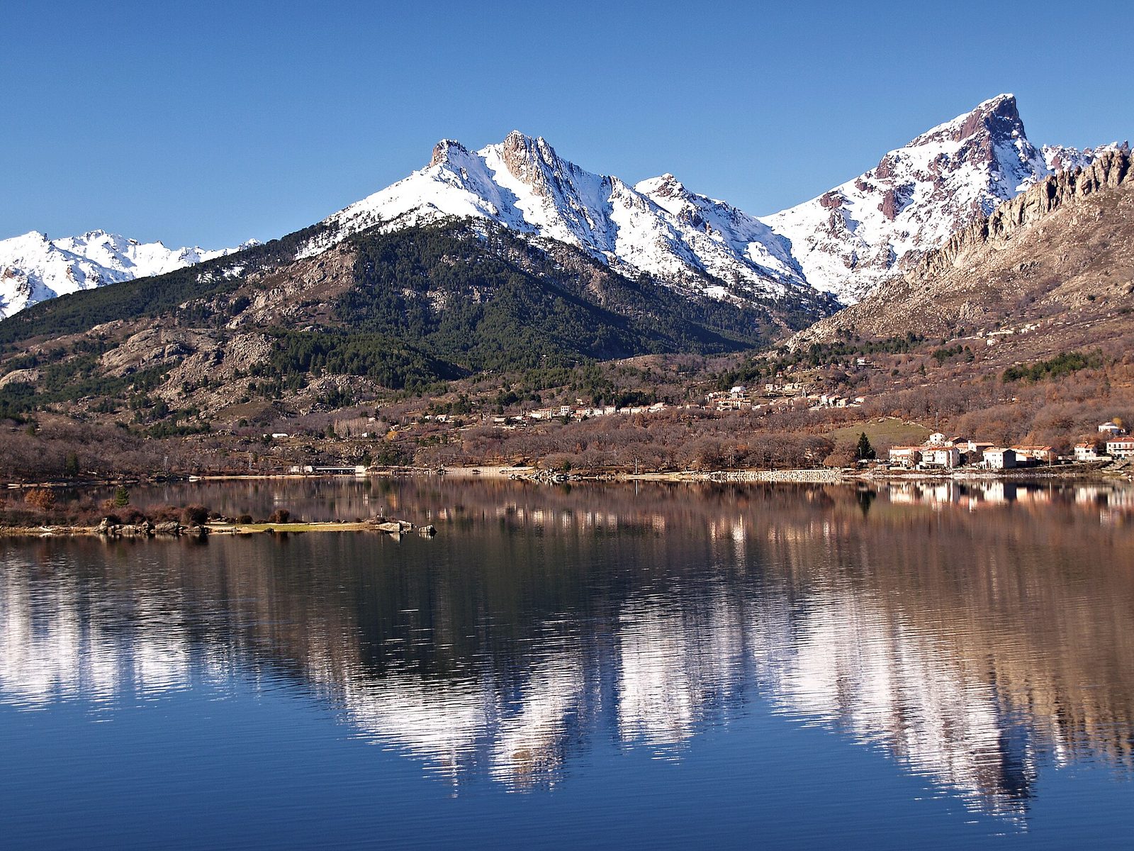
Waterfalls · Haute-Corse
Located in the middle of the Vergio massif, not far from the pass of the same name, the Radule waterfall is one of the most beautiful falls of the Golo, the longest river in Corsica.
View full page →
↓ 15.4 km · about 1 h 29 by car to the next stop
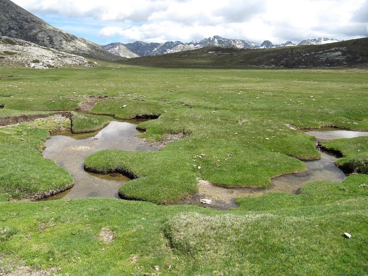
Natural wonders · Corse-du-Sud
Pozzines are spongy peat bogs riddled with water holes, formed on the edges of mountain glacial lakes.
View full page →
↓ 75.6 km · about 3 h 26 by car to the next stop
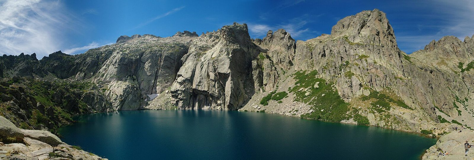
Lakes · Haute-Corse
Nestled in the Rotondo massif, above the Restonica valley, Lac de Capitello is the deepest of the Corsican lakes at about 42 metres.
View full page →
↓ 0.0 km · about 0 min by car to the next stop
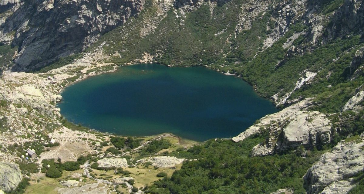
Lakes · Haute-Corse
A stone's throw from Corte, two sites of wild beauty: on the one hand the Restonica valley leading to Lac de Melo at an altitude of 1,711 m and on the other the Tavignano gorges, among the most beautiful on the island.
View full page →
Day 4 — Vasques de la Richiusa to Les Pozzines de Coscione
This day brings together 3 sites close to each other: waterfalls and natural wonders. Allow half an hour to an hour and a half per site, plus travel time.
Driving for the day: about 184.8 km, or 3 h 42 behind the wheel in total (excluding visits).

Waterfalls · Corse-du-Sud
The Richiusa pools, also called the Cardiccia pools, form a wild canyon in the Vizzavona massif, at the foot of Monte d'Oro, in the commune of Bocognano in Corse-du-Sud.
View full page →
↓ 83.8 km · about 1 h 40 by car to the next stop

Waterfalls · Haute-Corse
A must-see: the Bujia waterfall is nestled in a chestnut forest, in the commune of San-Gavino-di-Fiumorbo in Haute-Corse.
View full page →
↓ 101.0 km · about 2 h 02 by car to the next stop

Natural wonders · Corse-du-Sud
The Coscione plateau is a middle-mountain area with a marked Eurosiberian appearance (beech, fir, fragrant alder, pozzines), corresponding to a relatively cloudy, damp and cold climate.
View full page →
Day 5 — Plage de Roccapina to Anse de Rondinara
This day brings together 5 sites close to each other: beaches, villages and caves. It passes through Sartène and Bonifacio. Allow half an hour to an hour and a half per site, plus travel time.
Driving for the day: about 77.9 km, or 1 h 49 behind the wheel in total (excluding visits).
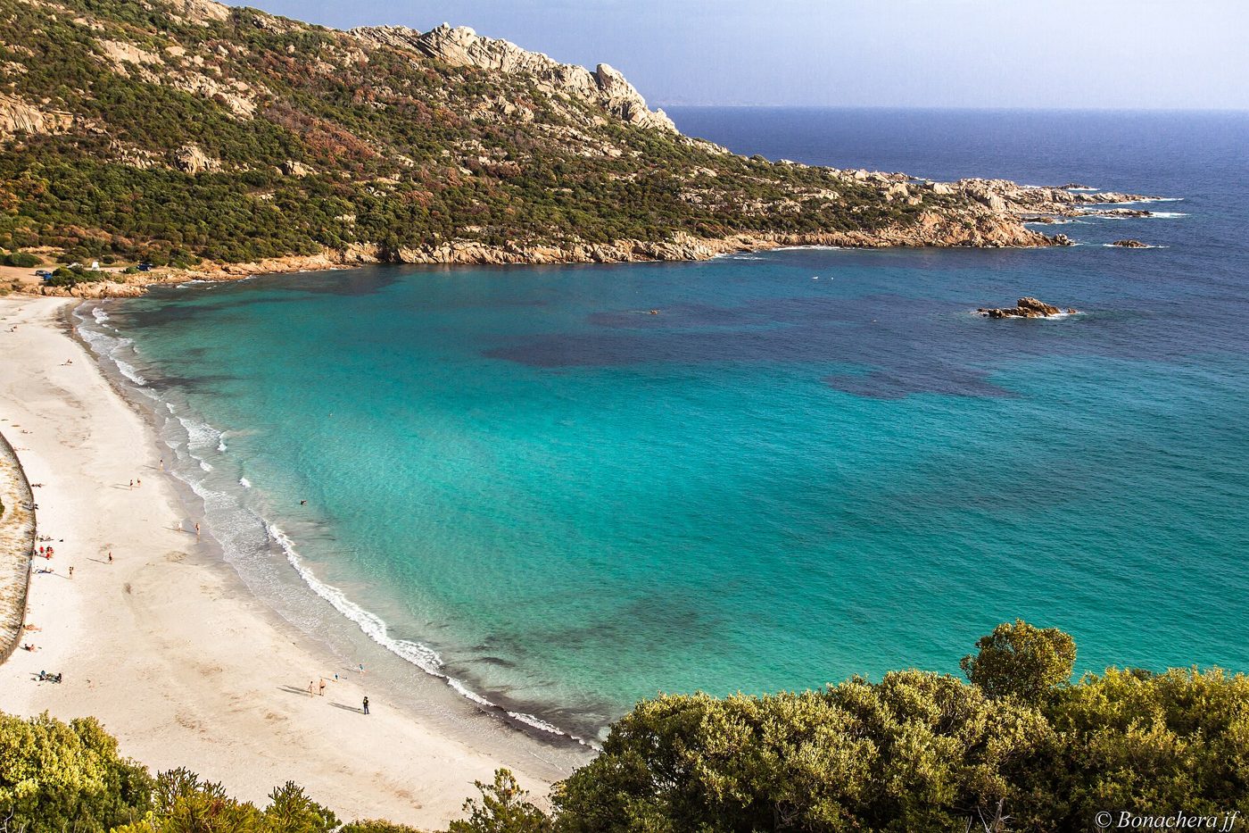
Beaches · Sartène
Turquoise bay in Corse-du-Sud dominated by the Lion of Roccapina rock and a Genoese tower.
View full page →
↓ 43.4 km · about 52 min by car to the next stop
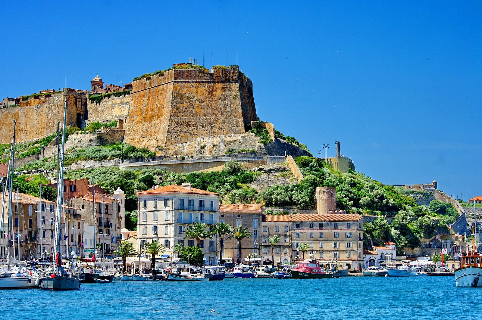
Villages · Bonifacio
A fortified town perched on an impressive limestone cliff at the southern tip of Corsica, whose citadel overlooks a deep natural harbour.
View full page →
↓ 1.2 km · about 3 min by car to the next stop
Caves · Corse-du-Sud
The Sdragonato cave, or dragon cave, is a sea cave carved into the cliffs of Bonifacio, in Corse-du-Sud, accessible only by boat from the port.
View full page →
↓ 7.3 km · about 14 min by car to the next stop
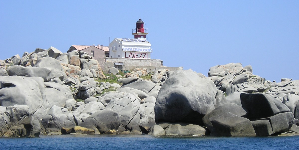
Natural wonders · Corse-du-Sud
From Corsica to Sardinia, only a few kilometres separate these islands, but many sailors have wrecked their ships on these terrible reefs, as the marine cemeteries of Furcone and Archiarino and the memory of the wreck of La Sémillante in 1855 bear witness.
View full page →
↓ 26.0 km · about 40 min by car to the next stop

Beaches · Corse-du-Sud
Pale sand, very pure water, unspoilt environment and perfect geometry... Rondinara is one of the most exotic bays on the island.
View full page →
When to go
May, June and September are the best months: the sea is pleasant, the mountains are accessible and the sites are less crowded. In July and August there are many people and both beaches and roads are very busy. The high mountains can stay snowy late into spring, and some roads and trails are hard to reach in winter.
Getting around
A car is almost essential: mountain roads are long and winding, and you should allow more time than the distance suggests. Journeys between areas on the same day are realistic, but it is better not to try to see everything. A train links a few towns, on a picturesque line.
Our tips
- Choose one or two areas rather than crossing the whole island every day.
- On wild beaches, bring water, shade and a bag for your rubbish: services are rare.
- Check swimming conditions, as some beaches are exposed to wind and waves.
- For mountain hikes, start early and check the weather: afternoon storms are frequent.
If you have more time
Natural wonders · Corse-du-Sud
Pains de sucre du Tretorre
CorsicaOutstanding
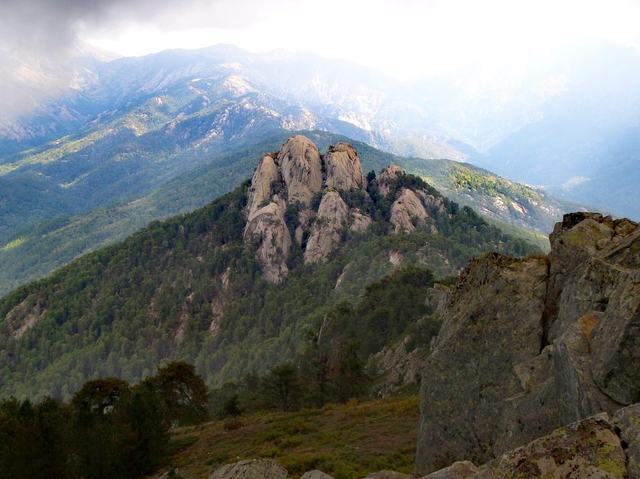
The Tretorre peaks at 1,510 metres' altitude in the Cruzzini valley, in Corse-du-Sud, and stands out for three rocky pinnacles shaped like sugar loaves, cut in syenite, a magmatic rock close to granite.
Natural wonders · Corse-du-Sud
Rochers du col de Verde
CorsicaOutstanding
The bestiary of the Piana calanques is one of the most magical places in Corsica (natural sculptures). Fantastic figures and monsters form in the red granite rocks.
Waterfalls · Corse-du-Sud
Les cascades des Anglais
CorsicaOutstanding
The Anglais waterfalls are on the Agnone, in the heart of the Vizzavona forest.
Towns & cities · Haute-Corse
Calvi
CorsicaOutstanding
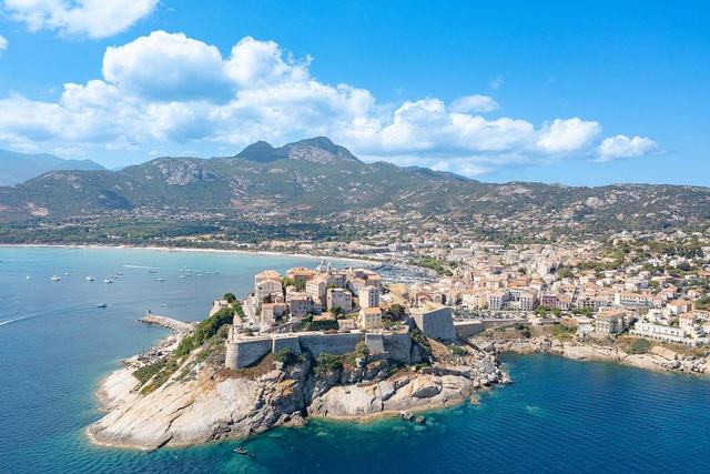
Main town of the Balagne, dominated by its Genoese citadel perched on a rocky pinnacle facing a vast gulf lined with fine-sand beaches.
Towns & cities · Corse-du-Sud
Ajaccio
CorsicaOutstanding
Prefecture of Corse-du-Sud and chief town of the island, birthplace of Napoleon Bonaparte, nestled at the head of a vast gulf facing the setting sun.
Waterfalls · Corse-du-Sud
Cascade de Rivetu
CorsicaOutstanding
The Rivetu waterfall hides in the Fiumicelli ravine, in Corse-du-Sud, on the heights above Solenzara. Its name is said to have been given by the mountaineer Charles Pujos, in homage to one of his climbing partners.
More itineraries