What to see in the Hautes-Pyrénées in 3 days

The Hautes-Pyrénées are the land of great cirques, high-altitude lakes, legendary passes and peaks. The landscapes are spectacular, but mountain conditions call for caution and preparation.

This itinerary spreads the best-rated sites in the catalogue over three days. Check the weather and road conditions before you go: some passes and access roads are closed in winter.

Our day-by-day itinerary

The map shows the numbered stops in visiting order, with one colour per day. The line follows the roads where available; otherwise it joins the stops as the crow flies. Distances and times are approximate (by car, without traffic).

Day 1 — Grotte de Bétharram to La cascade de Magenta dans la vallée de Lesponne

This day brings together 3 sites close to each other: caves, religious sites and waterfalls. It passes through Lourdes. Allow half an hour to an hour and a half per site, plus travel time.

Grotte de Bétharram
Caves · Hautes-Pyrénées

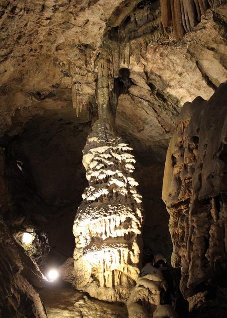
1 Grotte de Bétharram

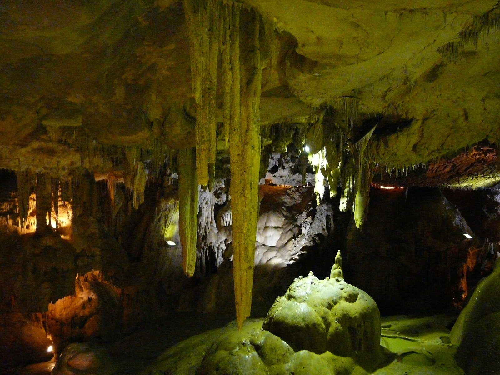
The Bétharram caves are among the most beautiful that exist, and certainly the most curious to visit, because in the variety of their aspects they give the key to the formation of almost all caves, dead or fully active.

View full page →
Sanctuaire Notre-Dame de Lourdes
Religious heritage · Lourdes

2 Sanctuaire Notre-Dame de Lourdes

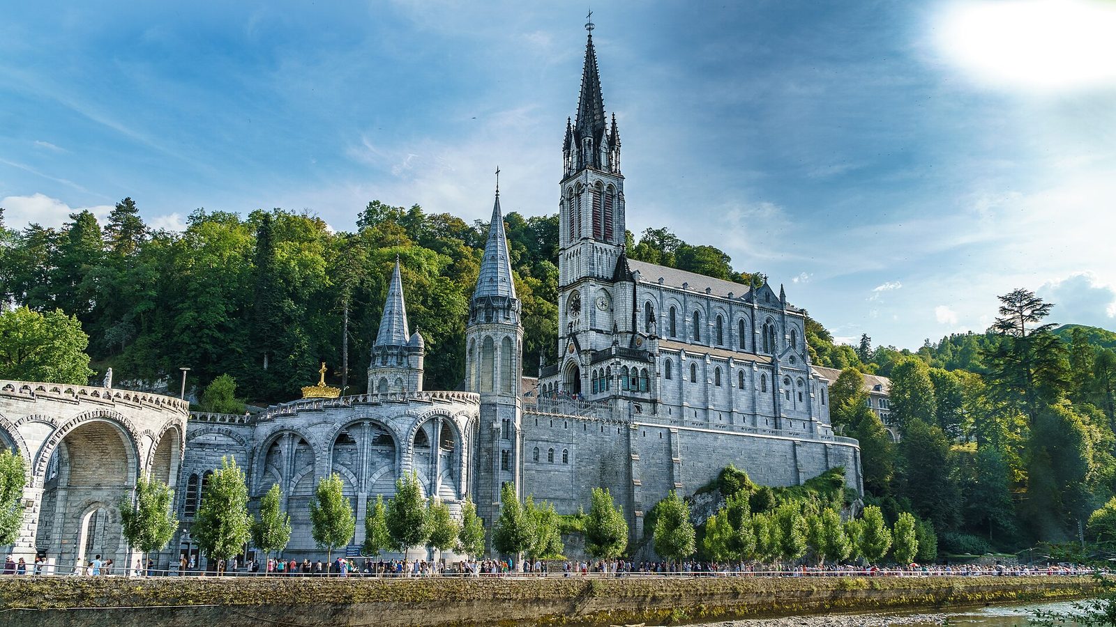
Built on the site of the Marian apparitions of 1858, this sanctuary is one of the most visited places of pilgrimage in the world, welcoming about 6 million people every year.

View full page →

Day 2 — Cirque de Gavarnie to Lac Bleu de lesponne

This day brings together 5 sites close to each other: waterfalls, natural wonders and lakes. It passes through La Mongie. Allow half an hour to an hour and a half per site, plus travel time.

Cirque de Gavarnie
Waterfalls · Hautes-Pyrénées

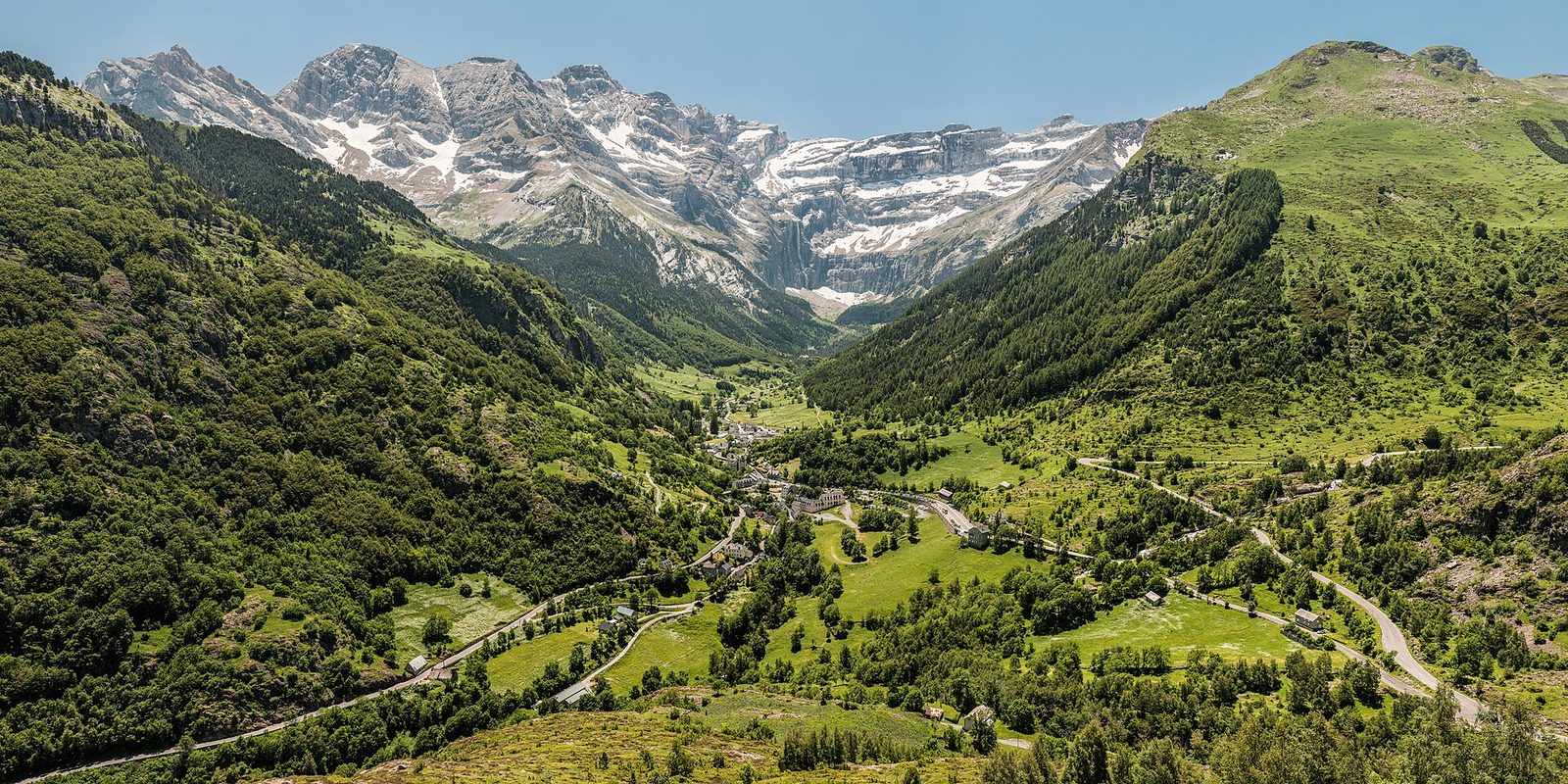
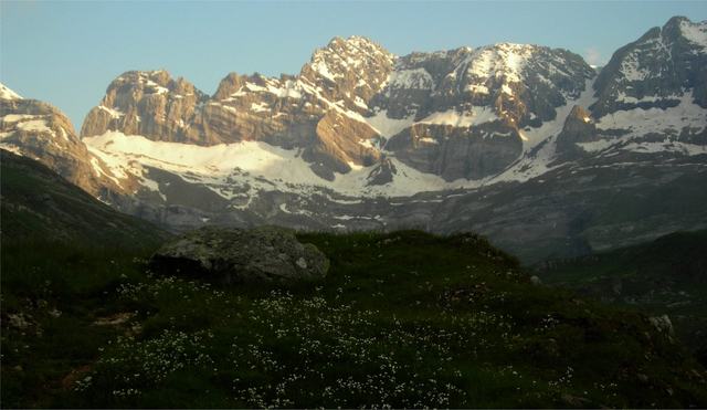
4 Cirque de Gavarnie

This exceptional mountain landscape, which spreads on both sides of the present national borders of France and Spain, is centred on the Mont Perdu peak, a limestone massif that peaks at 3,352 metres.

View full page →
Col du Tourmalet
Natural wonders · La Mongie

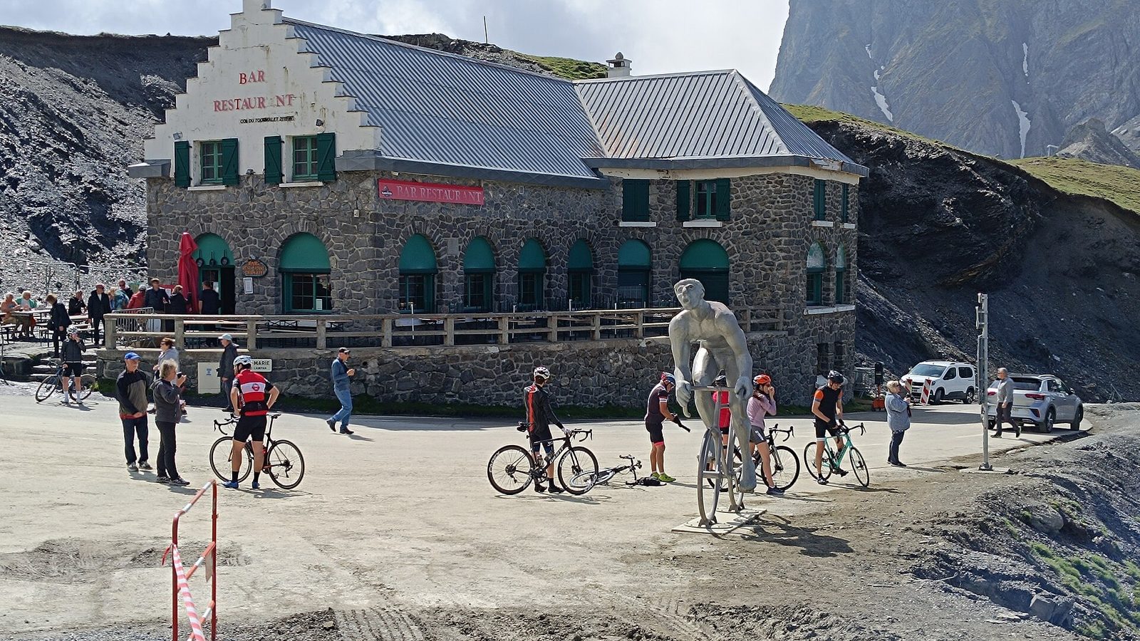
6 Col du Tourmalet

The highest road pass in the French Pyrenees at 2,115 metres, the Tourmalet is the legendary arbiter of the Tour de France, immortalised by the statue of the cycling giant Octave Lapize.

View full page →
Cascades d'Arizes et Garet
Waterfalls · Hautes-Pyrénées

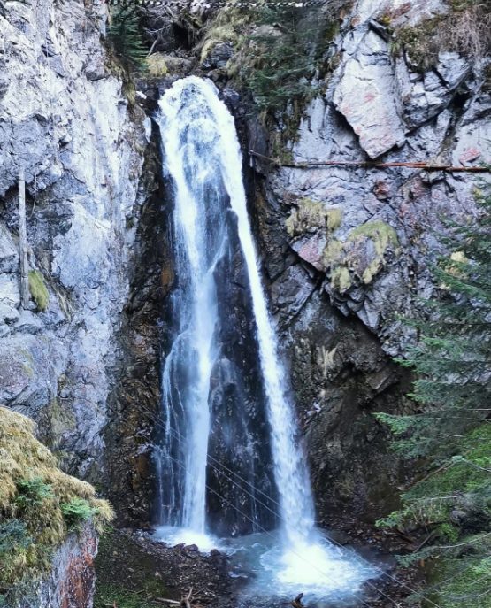
7 Cascades d'Arizes et Garet

From Bagnères, take the road of the passes. Follow this road to Sainte-Marie-de-Campan, where you turn right towards the Col du Tourmalet.

View full page →

Day 3 — Parc National des Pyrénées to Pont d'Espagne

This day brings together 4 sites close to each other: natural wonders, lakes and waterfalls. It passes through Cauterets. Allow half an hour to an hour and a half per site, plus travel time.

Driving for the day: about 117.4 km, or 3 h 56 behind the wheel in total (excluding visits).

Parc National des Pyrénées
Natural wonders · Hautes-Pyrénées

9 Parc National des Pyrénées

The Pyrenees National Park, also called the Western Pyrenees National Park, is one of the ten national parks of France in the south of the country in the western part of the Pyrenees mountain range, straddling the Hautes-Pyrénées (Midi-Pyrénées region) and the…

View full page →

↓ 117.3 km · about 3 h 56 by car to the next stop

Lac de Gaube
Lakes · Cauterets

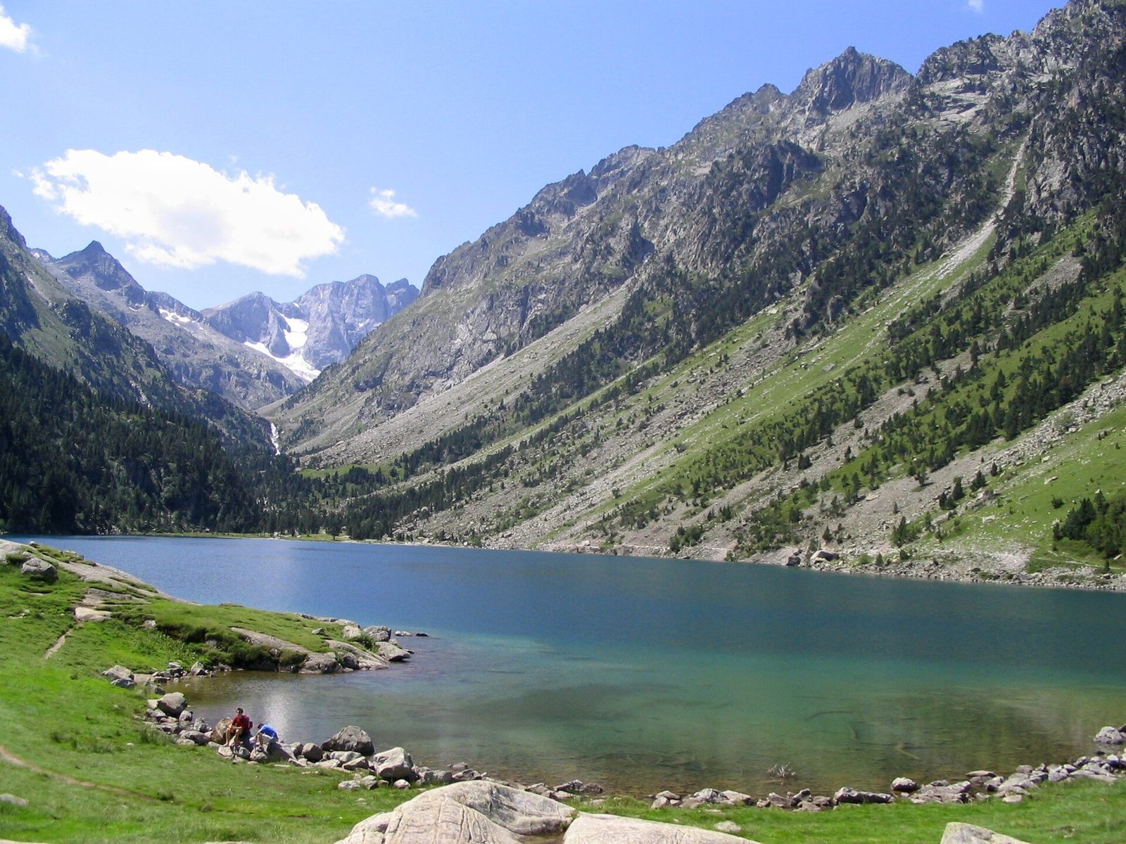
10 Lac de Gaube

Nestled at the foot of the Vignemale, this Pyrenean glacial lake is reached from Cauterets by a hiking path or a chairlift. Its clear waters, framed by steep walls, make it one of the most visited mountain lakes in the French Pyrenees.

View full page →

↓ 0.1 km · about 0 min by car to the next stop

Les Cascades de Cauterets
Waterfalls · Hautes-Pyrénées

11 Les Cascades de Cauterets

Here is the kingdom of granite and water; its impressive waterfalls and its many lakes make it a natural paradise where Empress Eugénie came to dream in the last century.

View full page →

↓ 0.0 km · about 0 min by car to the next stop

Pont d'Espagne
Natural wonders · Cauterets

12 Pont d'Espagne

At 1,500 metres' altitude, this Pyrenean natural site brings together waterfalls and torrents at the confluence of several glacial valleys. Gateway to the Pyrenees National Park, it is the classic starting point for Lac de Gaube.

View full page →

When to go

From June to September, passes and mountain trails are generally accessible. Summer is high season: there are crowds at the best-known sites, and storms are frequent at the end of the day. In winter, many mountain roads are closed or difficult, and high-altitude lakes are frozen.

Getting around

A car allows you to reach most sites, but mountain roads are slow and sometimes closed outside summer. Some visits involve walking, even a full day's hike. Check road conditions before you go.

Our tips

  • Check the mountain weather the evening before and in the morning: it can change quickly.
  • Start early for hikes and pack warm clothes, even in summer.
  • Bring water and food, as there are often no supply points at altitude.
  • Respect the national park rules, especially for dogs and bivouacking.

If you have more time

More itineraries