Photo : Ewan ar Born / Wikimedia Commons (marque déposée)
Parc National des Pyrénées
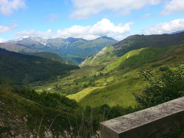
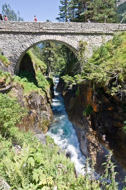
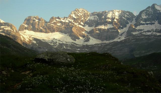
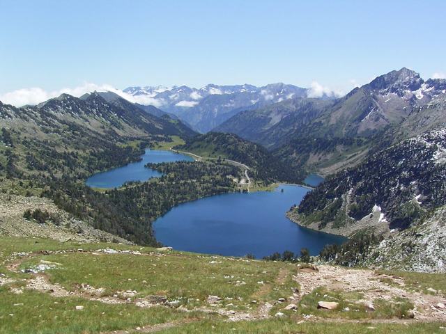
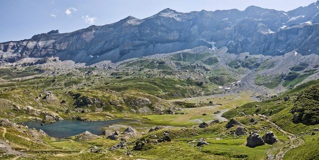
The Pyrenees National Park, also called the Western Pyrenees National Park, is one of the ten national parks of France in the south of the country in the western part of the Pyrenees mountain range, straddling the Hautes-Pyrénées (Midi-Pyrénées region) and the Pyrénées-Atlantiques (Aquitaine region). Created in 1967, with an area of 50,000 ha, backed against the Franco-Spanish border, it includes from west to east the upper Aspe valley, the Pic du Midi d'Ossau reserve, the Balaïtous peak and the Vignemale massif, the cirques of Gavarnie and Troumouse and ends at the Néouvielle peak north-east of Gavarnie. The Cauterets region is its geographic centre. The Ordesa and Monte Perdido National Park is adjacent to it to the south on the Spanish side, as well as the Néouvielle nature reserve to the east on the French side. It is part of the Pyrénées – Mont Perdu designation, which refers to the vast cross-border mountain ensemble, between France and Spain, inscribed since 1997 on the UNESCO "World Heritage" list for natural and cultural landscapes. The park's aim, by strict regulation, is to preserve the beauty of sites and protect plant and animal species threatened with extinction. Around the park, a zone of 160,000 ha is intended to benefit from economic, social and cultural investment in order to curb rural exodus and develop the region's tourist facilities.