Lakes · Alpes-de-Haute-Provence
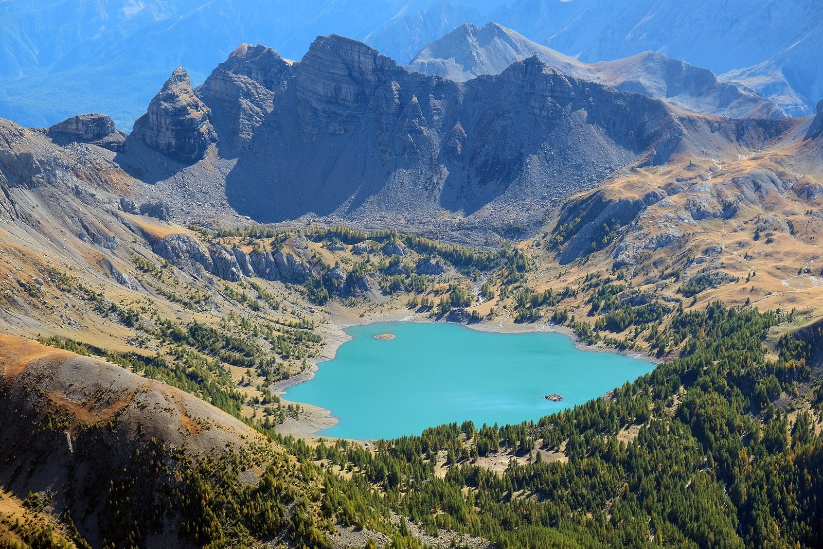
1 Le Lac Allos
A developed path climbs through undergrowth to reach the crater carved 20,000 years ago by the ancient glacier.
View full page →The Alpes-de-Haute-Provence are known for the Verdon gorges, the lavender fields of the Valensole plateau, mountain villages and wide open spaces. The roads are long and the landscapes strongly contrasting.
This itinerary groups the best-rated sites in the catalogue into three days. The lavender bloom, around summer, attracts many people: book ahead and start early.
The map shows the numbered stops in visiting order, with one colour per day. The line follows the roads where available; otherwise it joins the stops as the crow flies. Distances and times are approximate (by car, without traffic).
This day brings together 3 sites close to each other: lakes, waterfalls and natural wonders. It passes through Jausiers. Allow half an hour to an hour and a half per site, plus travel time.
Driving for the day: about 71.9 km, or 2 h 07 behind the wheel in total (excluding visits).
A developed path climbs through undergrowth to reach the crater carved 20,000 years ago by the ancient glacier.
View full page →↓ 57.4 km · about 1 h 18 by car to the next stop
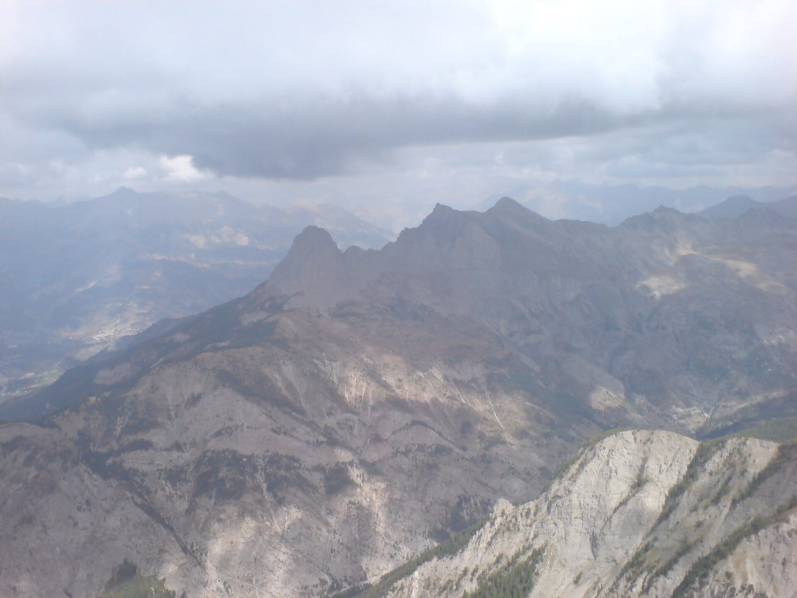
Up to the Col de la Cayolle through the Bachelard gorges. The road is very narrow and not suited to photo stops, so we will have to wait until we are out to fill the memory box.
View full page →↓ 14.5 km · about 49 min by car to the next stop
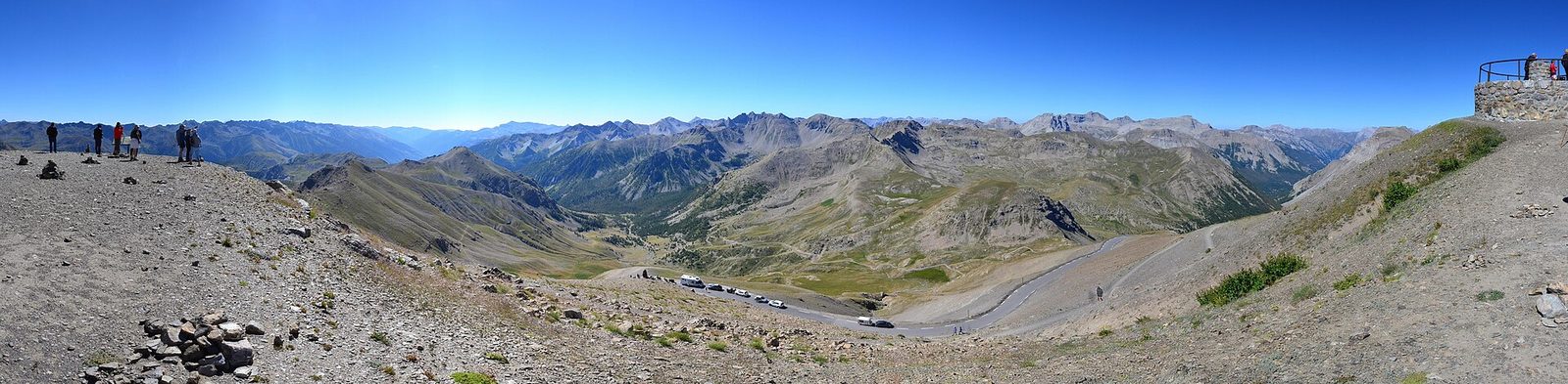
The road that goes round its summit, the Cime de la Bonette, reaches 2,802 metres: one of the highest paved roads in Europe, in the heart of the Mercantour.
View full page →This day brings together 5 sites close to each other: natural wonders, waterfalls and villages. Allow half an hour to an hour and a half per site, plus travel time.
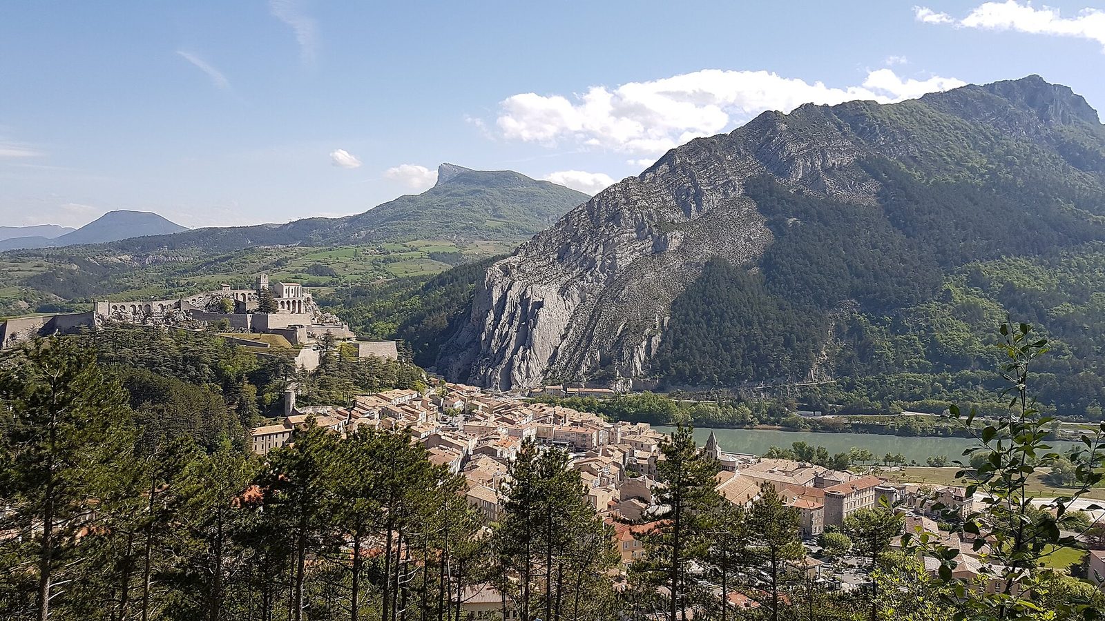
Called the pearl of Haute Provence, Sisteron, a town of history where glories and miseries once alternated, is today one of the flagship towns of the Alpes de Haute Provence.
View full page →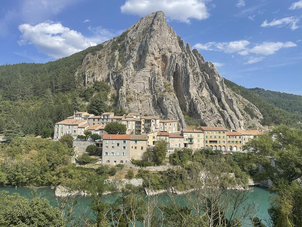
The Rocher de la Baume offers a completely unusual lithic architecture: vertical bars of limestone alternate with softer beds attacked by erosion.
View full page →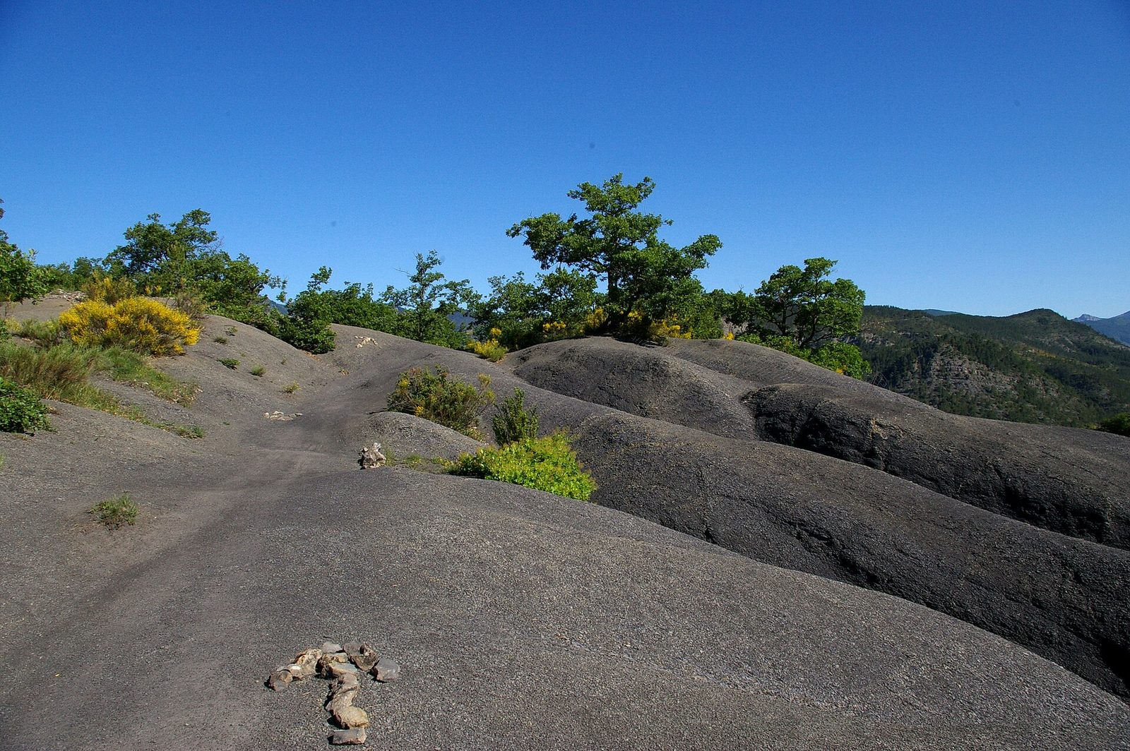
Robines are hills of black marl sculpted by erosion. When the ground is soaked, the reflections of light on these dark harmonies create violent contrasts.
View full page →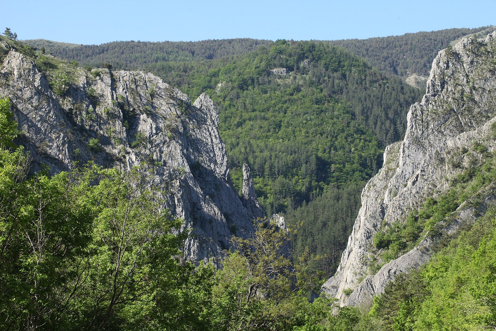
Between high rock walls, the agitated waters of the torrent rush in. Thirty million years ago, a geological upheaval caused a tremendous vertical break called a "clue".
View full page →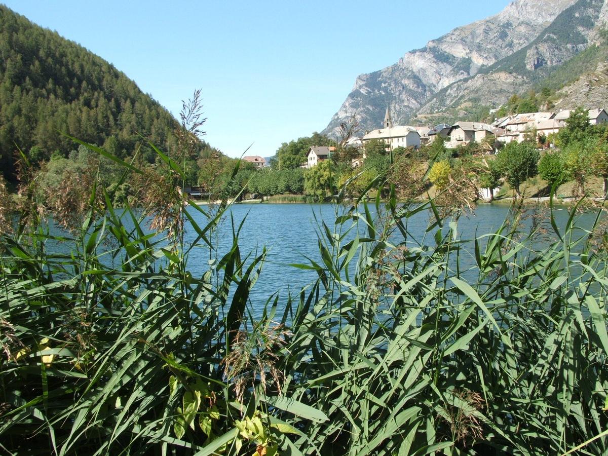
At the junction that leads left to Savines-le-Lac, a viewpoint over the Ubaye and the Costeplane waterfall opens up; on the other side, the Dormillouse military battery overlooks from its 2,505 metres and seems still to defend the valley against invaders.
View full page →This day brings together 4 sites close to each other: villages, natural wonders and waterfalls. Allow half an hour to an hour and a half per site, plus travel time.
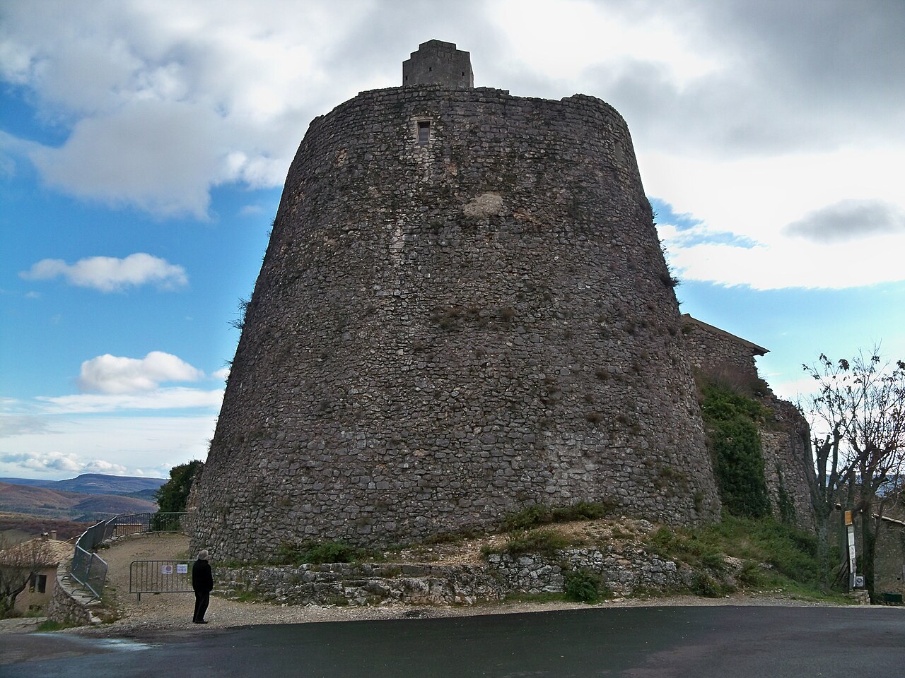
Simiane owes its fame to the Rotonde, the circular keep of the castle that crowns the hill on which the village spreads, a witness to a rich history.
View full page →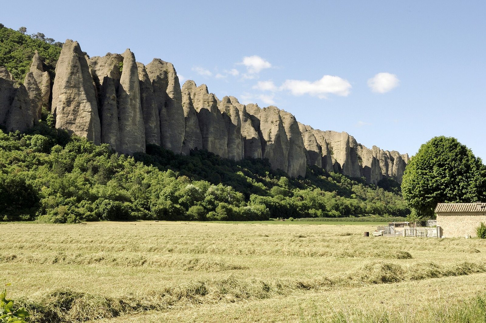
This walk will let you discover a curiosity visible from the Sisteron-Aix motorway or the N85 road.
View full page →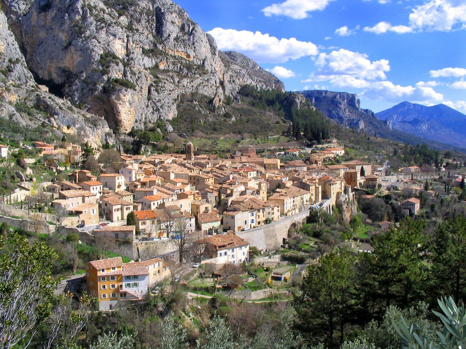
Clinging to the foot of cliffs, in the hollow of a fault where a torrent flows and olive trees have grown, with fields of lavender, lavandin, thyme and cork oaks on the horizon, this village at the edge of the Verdon gorges and near the artificial Lake Sainte-Croix is one of the wonders of Provence.
View full page →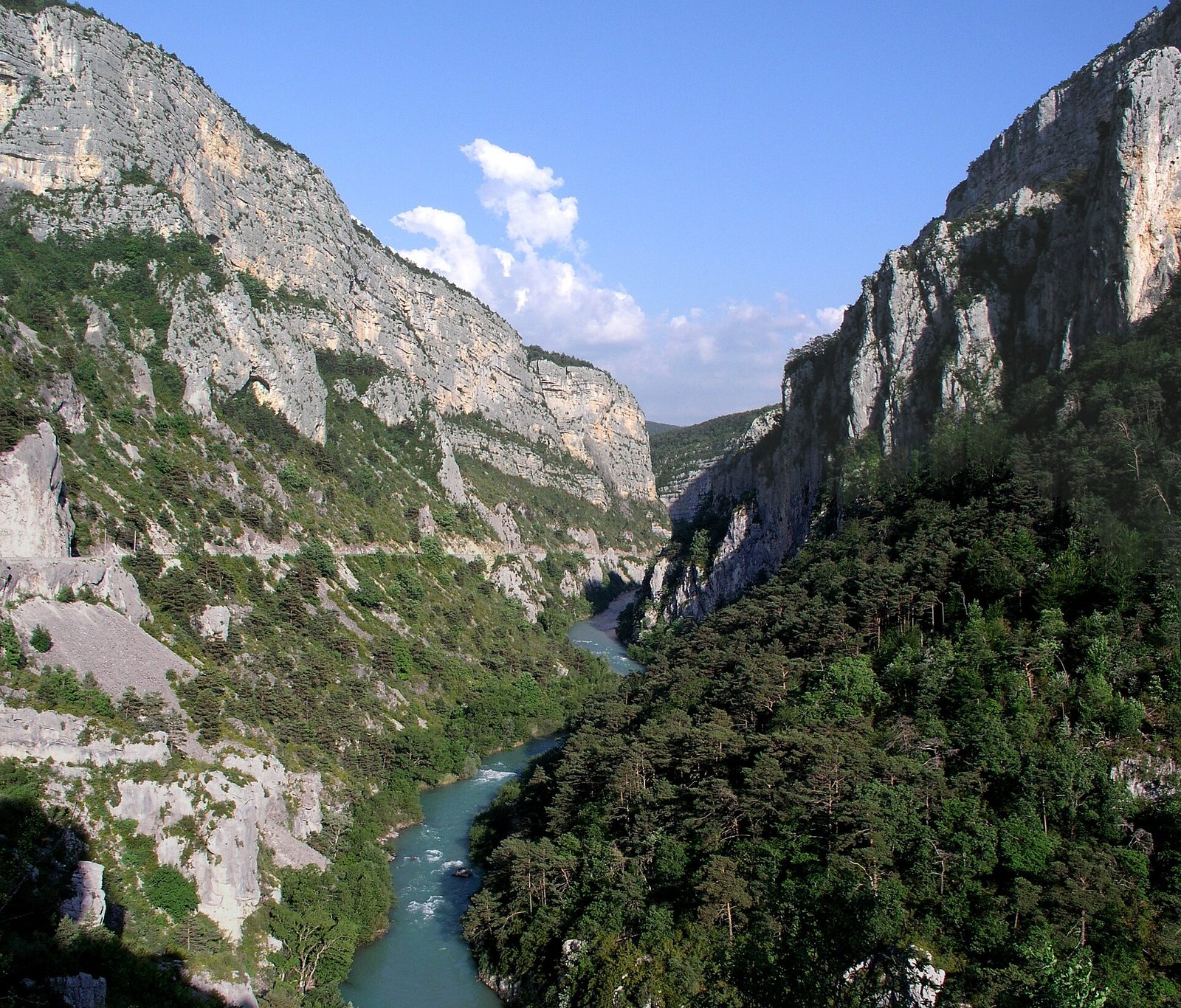
After the Point Sublime, the road descends towards the bed of the Verdon until it comes so close that, following floods of the Verdon, the road had to be rebuilt.
View full page →Early summer is the lavender season, which attracts many visitors. Spring and autumn suit the gorges and villages well, with mild temperatures. Winter is cold at altitude, and some mountain roads are closed.
A car is essential: distances are long and public transport rare. Mountain and gorge roads are winding, sometimes narrow. Allow slack in your travel times and check road conditions.
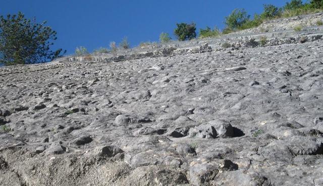
Only 4 km after leaving Digne, on the right bank of the Bléone, we meet the famous ammonite slab site.
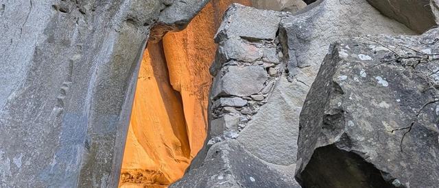
The generic name Grès d'Annot was given to this entire formation by the geologist Scipion Gras in 1840.
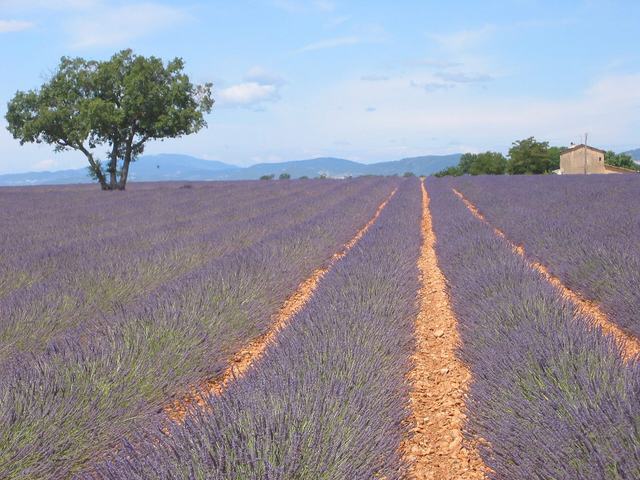
A huge farming plateau covered with lavender fields as far as the eye can see; in July Valensole offers one of the most photographed landscapes of Provence.
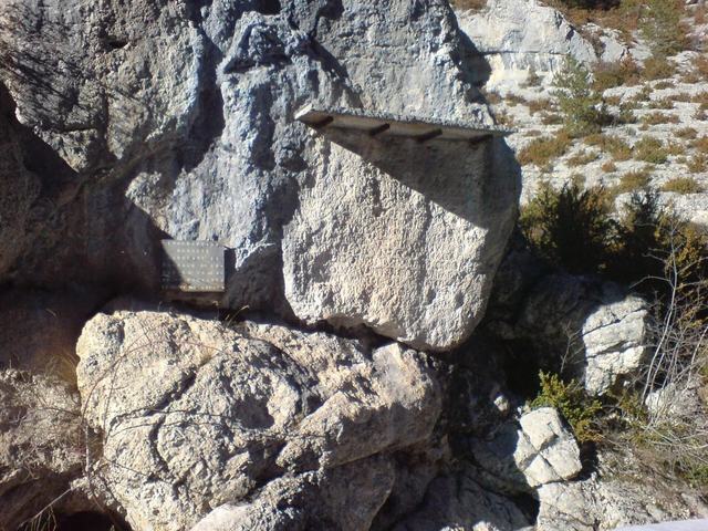
About ten kilometres from Sisteron, beside the road to Saint-Geniez, shortly before Chardavon, the rock was engraved in the early fifth century with an inscription praising the benefits of Claudius Dardanus, an influential man of that period, who is said to have had the road giving access to Theopolis built...
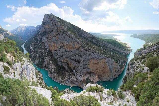
Extending over 188,000 hectares between the Var and the Alpes-de-Haute-Provence, this regional nature park protects the famous Verdon gorges as well as Lac de Sainte-Croix. A spectacular territory, between vertiginous canyon and perched villages.
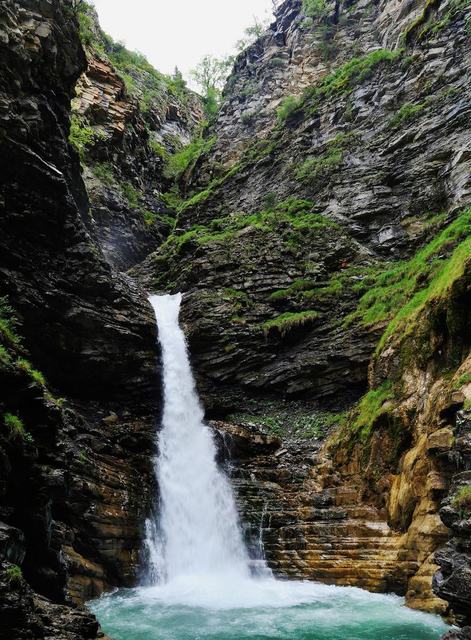
The Lance waterfall is a classified natural site, at Colmars-les-Alpes. A large car park lets visitors reach it without any difficulty.