Villages · Vosges
1 Domrémy, le pays de Jeanne
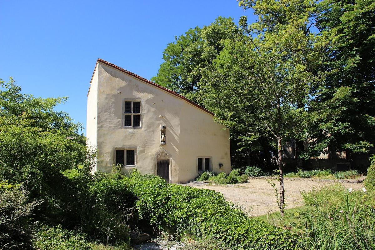
The Domrémy-la-Pucelle site is one of the major tourist hubs of the western Vosges, interacting with the other historic sites of the area.
View full page →The Vosges offer rounded summits (ballons), high-altitude lakes, waterfalls, forests and spa towns. The landscapes are varied, between mountains and valleys, and local traditions are alive.
This itinerary spreads the best-rated sites in the catalogue over three days.
The map shows the numbered stops in visiting order, with one colour per day. The line follows the roads where available; otherwise it joins the stops as the crow flies. Distances and times are approximate (by car, without traffic).
This day brings together 3 sites close to each other: villages, waterfalls and lakes. Allow half an hour to an hour and a half per site, plus travel time.
Driving for the day: about 133.8 km, or 2 h 14 behind the wheel in total (excluding visits).
The Domrémy-la-Pucelle site is one of the major tourist hubs of the western Vosges, interacting with the other historic sites of the area.
View full page →↓ 120.8 km · about 2 h 00 by car to the next stop
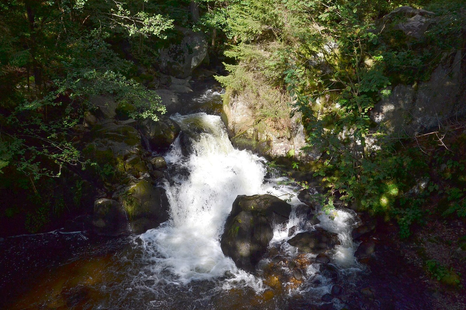
A little path has been laid out along the Vologne, which makes several falls, the largest of which is called the Saut des Cuves.
View full page →↓ 13.1 km · about 14 min by car to the next stop
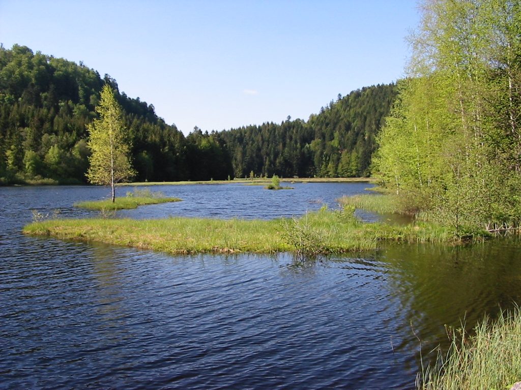
This lake, a lake peat bog, with an area of 10 ha, lies at an altitude of 900 m. A very well laid-out path lets you go round it.
View full page →This day brings together 4 sites close to each other: waterfalls, lakes and natural wonders. It passes through Gérardmer. Allow half an hour to an hour and a half per site, plus travel time.
Driving for the day: about 57.4 km, or 1 h 40 behind the wheel in total (excluding visits).
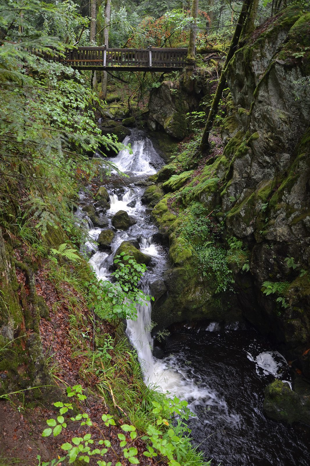
The waters of the Géhard swirl in a narrow gorge bordered by steep rocks. You can discover "giants' kettles", water holes carved in the rocks by the torrent.
View full page →↓ 26.5 km · about 42 min by car to the next stop
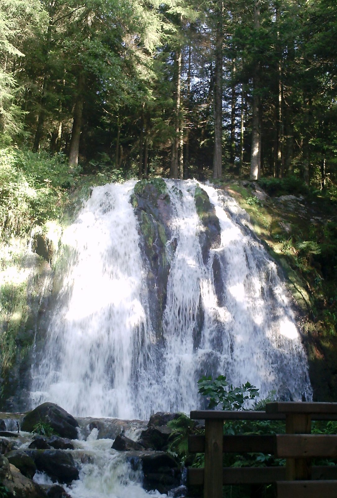
The waterfall is visible after 30 minutes' walk on a pleasant path. However you will need good footwear as the second part of the path is rocky.
View full page →↓ 14.8 km · about 33 min by car to the next stop
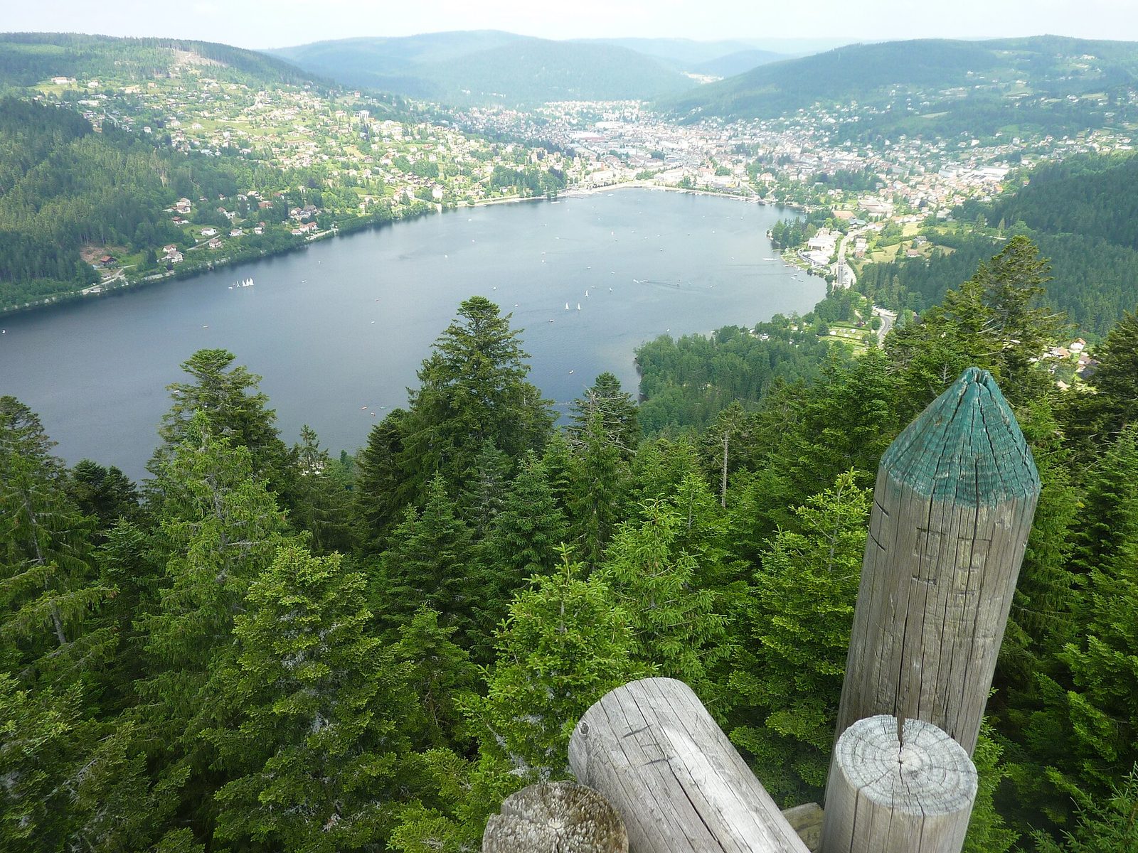
The largest natural lake in the Vosges, Lac de Gérardmer occupies the heart of the resort that bears its name. Swimming, sailing and walks around its shores make it one of the most frequented destinations of the Vosges massif.
View full page →↓ 16.1 km · about 25 min by car to the next stop
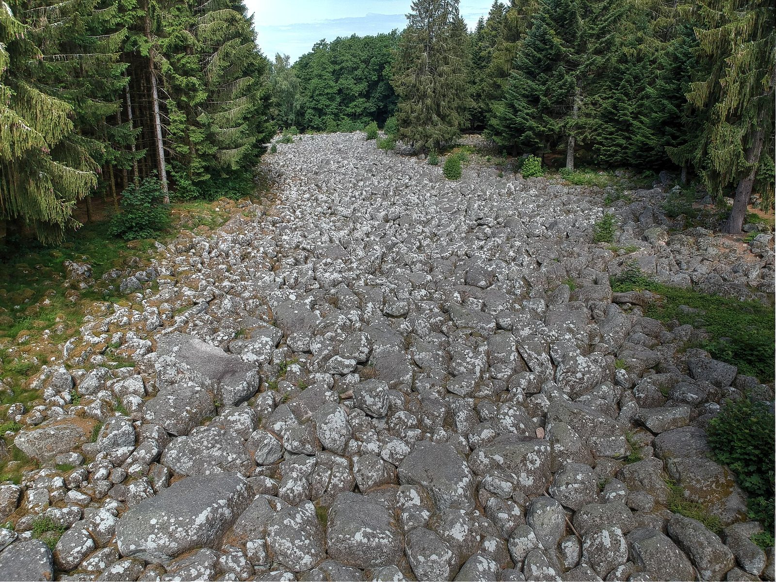
It lies between Gérardmer and Granges-sur-Vologne. An imposing moraine flow 500 m long, the Granges-sur-Vologne rock field, spreading at 740 metres' altitude, is the remnant of an ancient glacier that…
View full page →This day brings together 5 sites close to each other: natural wonders, lakes and waterfalls. Allow half an hour to an hour and a half per site, plus travel time.
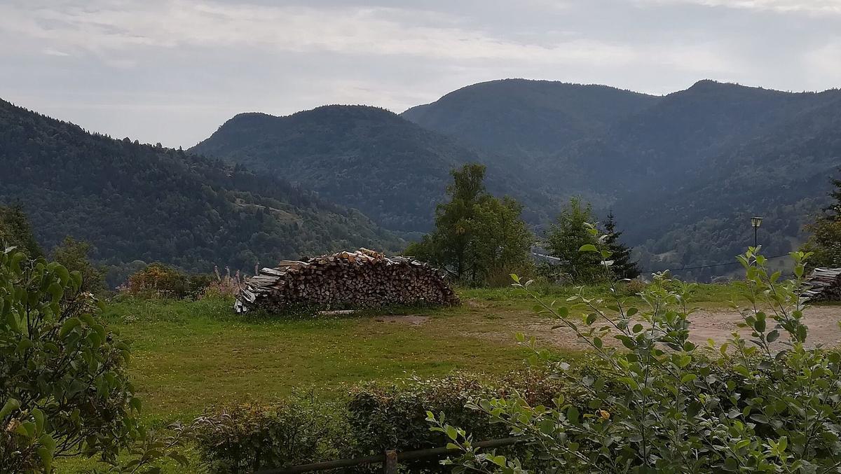
The Moselle rises at about 900 m altitude at the Col de Bussang, on the western slope of the crystalline Vosges; it first heads north-west, passing through Épinal and Toul.
View full page →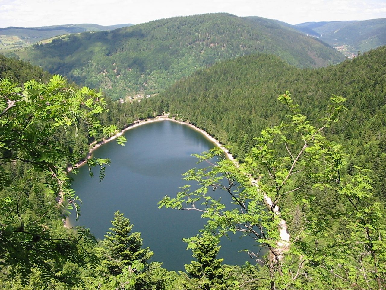
This magnificent body of water set in an ancient glacial cirque surrounded by a fine fir forest will let you enjoy varied fishing.
View full page →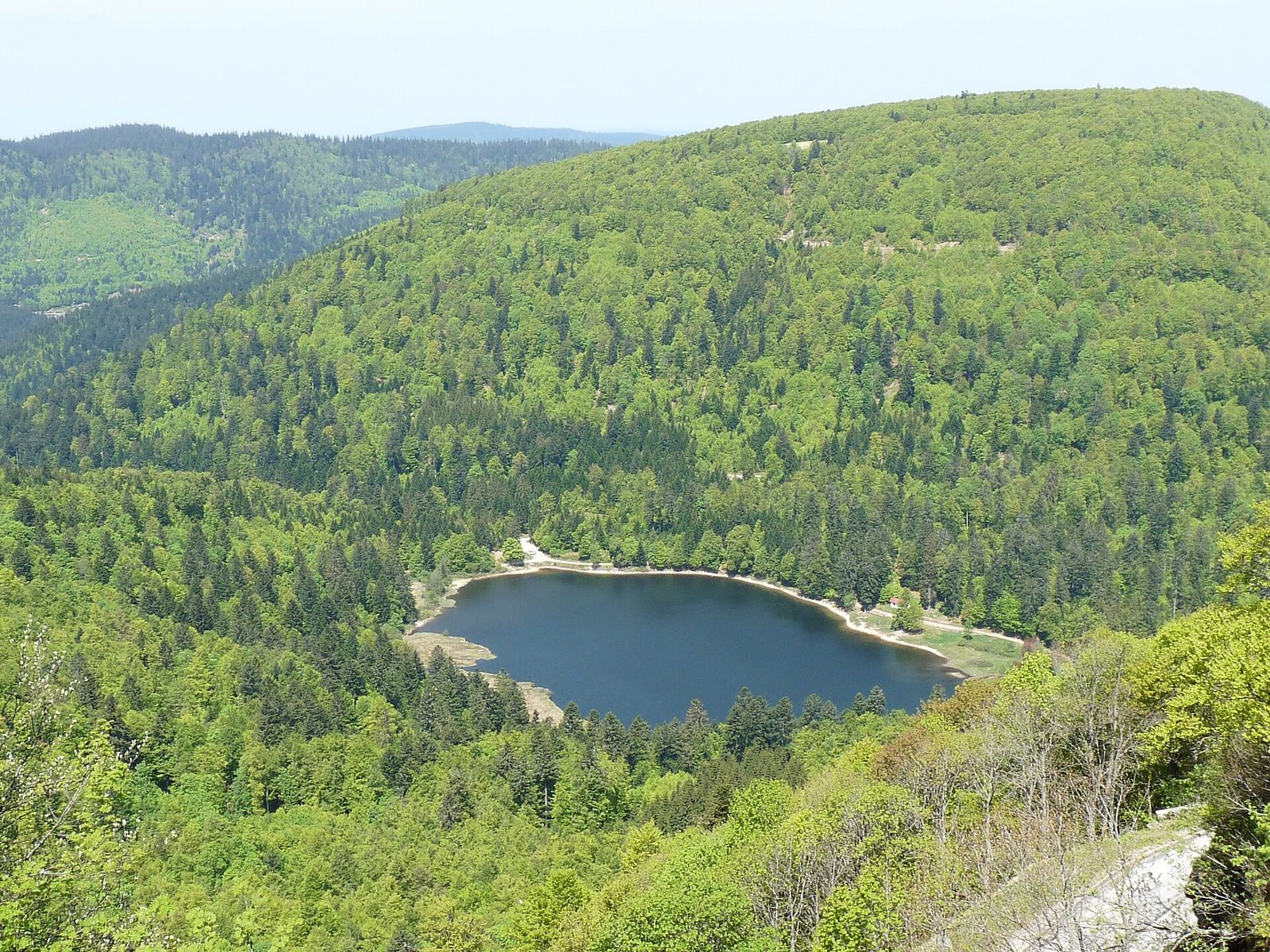
With the same surface area as Lac des Corbeaux, Lac de Blanchemer will bring you calm and tranquillity.
View full page →
The Hohneck peaks at 1,363 metres in the commune of La Bresse and is one of the highest summits of the Vosges massif, often presented as the high point of the Vosges département.
View full page →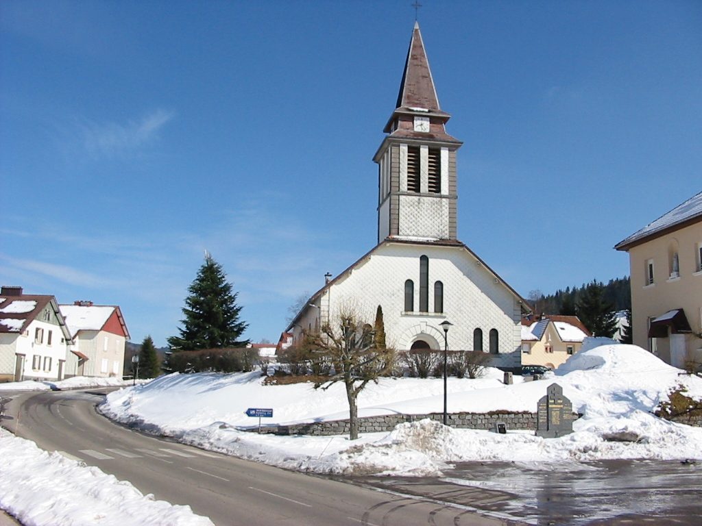
The Charlemagne waterfall is easy to reach: after Xonrupt-Longemer near Gérardmer, take the direction of Lac de Retournemer on the D67. The waterfall is at the bridge on the tarmac road.
View full page →Summer is the ideal time for hikes and lakes. Autumn is colourful. Winter is snowy, and some roads are closed.
A car is practical for linking the sites. Some mountain roads are narrow. Check road conditions in winter.
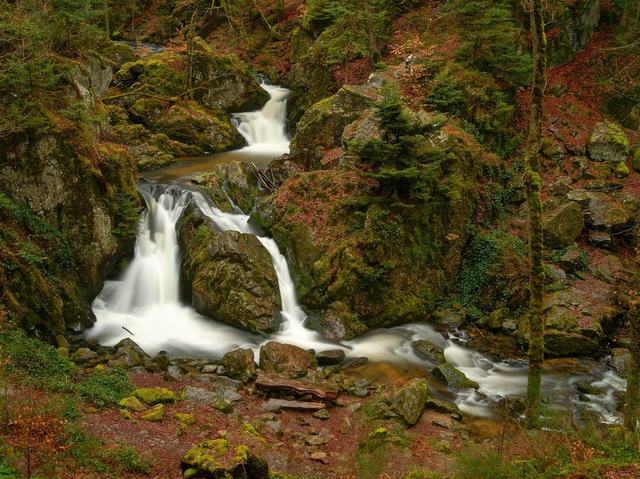
The Tendon waterfalls comprise a small and a large fall, linked by a marked forest path in the heart of the Vosges.
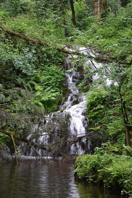
A long vertical fall at the foot of a granite rock, near Le Val-d'Ajol.
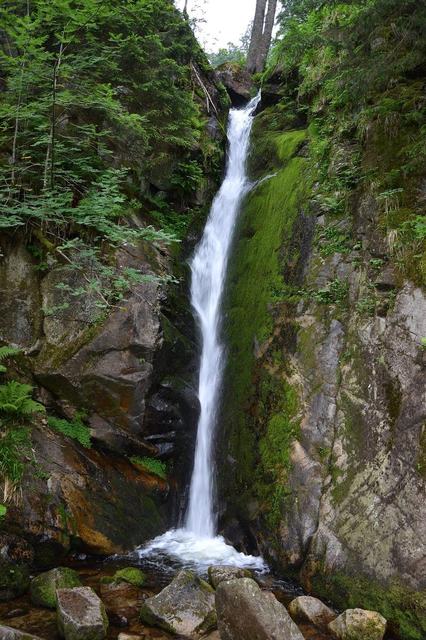
A high vertical fall nestled in a moss-carpeted granite gorge, near Plainfaing.
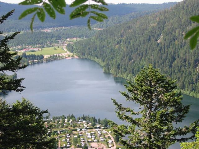
Lac de Retournemer is a small lake of glacial origin, at an altitude of 776 m; it is the highest of the three lakes of the Vologne basin, and also the smallest with an area of a little over 5 ha.
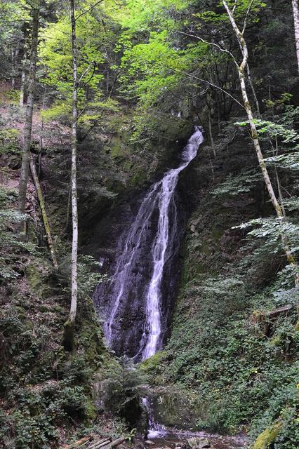
An enclosed fall in the undergrowth, on the heights of Remiremont.
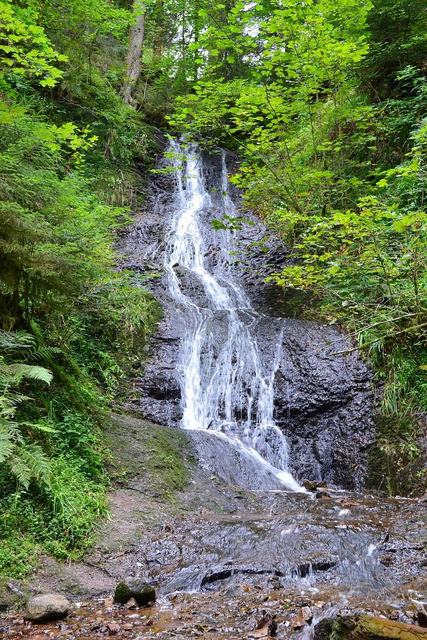
The Saut de la Bourrique waterfall is a fall of about ten metres in a deep gorge.