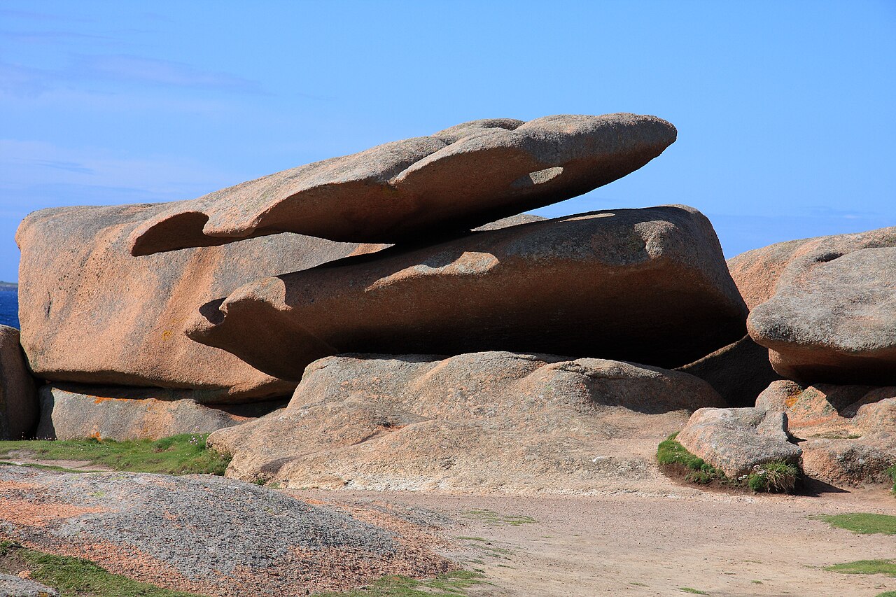
Natural wonders · Côtes-d'Armor
1 Chaos de l'Ile Renote
The Renote peninsula is a protected natural area that shelters many chaos of pink granite, with fauna and flora characteristic of the seaside.
View full page →Brittany is discovered through its coasts, stones and legends. This itinerary crosses the four Breton départements in five days, from the headlands of Finistère to the ramparts of Saint-Malo.
Brittany is a peninsula, and everything recalls the sea: wave-battered headlands, huge bays where the tide goes out very far, islands reached by boat, fishing ports and lighthouses. The coastline is indented, with cliffs, pale-sand beaches and sheltered coves.
This relationship with the sea organises life, landscape and cooking. Tides change the look of the same place within a few hours: a huge beach at low tide can almost disappear at high tide. It is therefore useful to check tide times before heading out for a walk.
The region is rich in ancient heritage: alignments and dolmens, parish closes, chapels, manors and fortified towns. Saint-Malo and its ramparts, Vannes and its old centre, Dinan and its lanes, and Quimper and its cathedral illustrate the diversity of Breton towns.
The megaliths, especially in Morbihan, are among the best-known groups in Europe. They remind us that the territory has been inhabited for a very long time and that today's landscapes carry the trace of several millennia of history.
Brittany is also a land of stories: the Paimpont forest, associated with the Arthurian legend, religious pardons, traditional costumes and the Breton language. These traditions remain alive in festivals, music and the summer events.
For travellers, they give visits extra depth: behind a calvary or a chapel, you often discover a local story that tourist offices and museums are happy to tell.
Five days let you discover a sample of Brittany, but not see everything. It is better to choose one or two areas and take your time: the north coast, the Crozon peninsula, the Gulf of Morbihan or the Rennes and Saint-Malo area are all good starting points.
The itinerary below groups the best-rated sites in the catalogue by geographic proximity. Stay flexible: in bad weather, favour museums, towns and castles, and keep the great coastal landscapes for the sunny spells.
The map shows the numbered stops in visiting order, with one colour per day. The line follows the roads where available; otherwise it joins the stops as the crow flies. Distances and times are approximate (by car, without traffic).
This day brings together 5 sites close to each other: natural wonders, towns and cities and aquariums. It passes through Dinard. Allow half an hour to an hour and a half per site, plus travel time.
Driving for the day: about 179.7 km, or 3 h 11 behind the wheel in total (excluding visits).
The Renote peninsula is a protected natural area that shelters many chaos of pink granite, with fauna and flora characteristic of the seaside.
View full page →↓ 5.5 km · about 14 min by car to the next stop
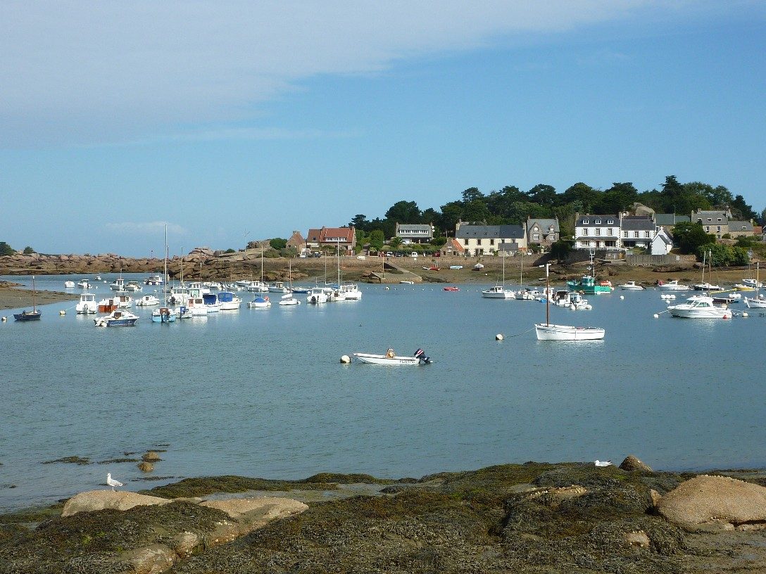
Sculpted by the sea and time, balanced in a sometimes more than improbable equilibrium, steeped in mystery and fuelling the imagination, the rocks recall the power of the natural elements.
View full page →↓ 126.9 km · about 1 h 56 by car to the next stop
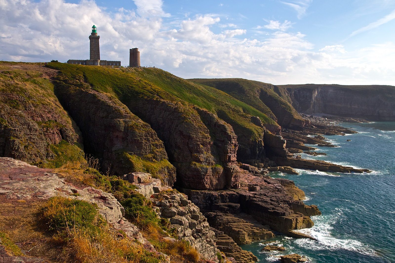
Cap Fréhel is the largest area (nearly 400 hectares) of coastal heath on the French coasts.
View full page →↓ 37.4 km · about 47 min by car to the next stop
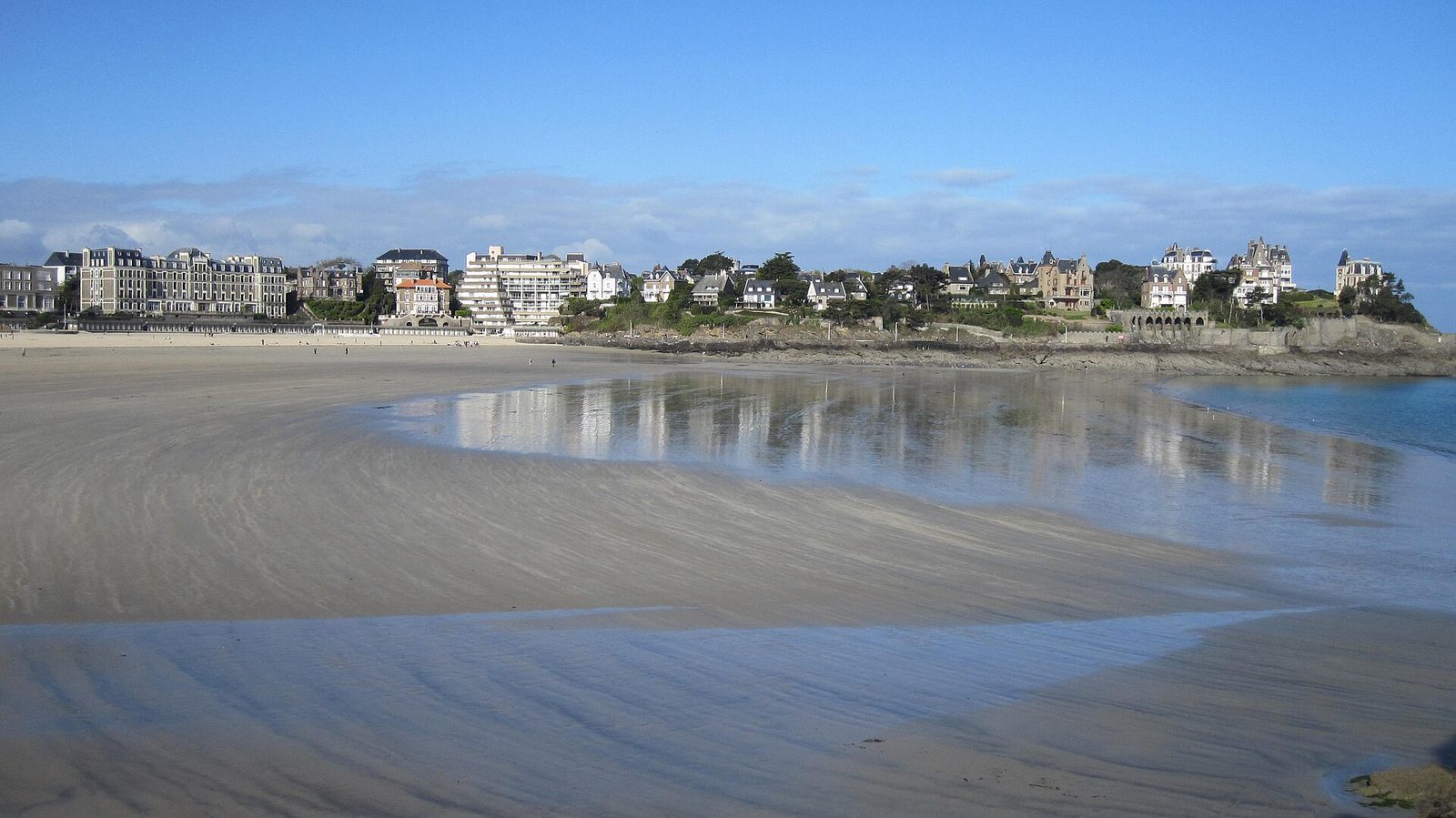
A chic seaside resort facing Saint-Malo, favoured from the nineteenth century by an Anglo-American clientele who had sumptuous Belle Époque villas built there.
View full page →↓ 9.9 km · about 14 min by car to the next stop
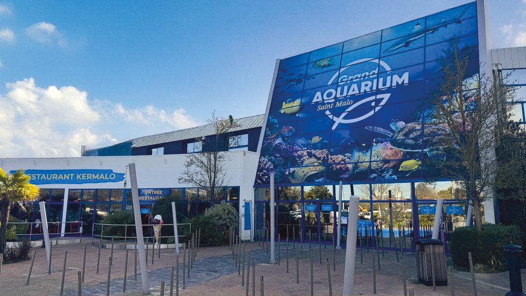
The Grand Aquarium of Saint-Malo offers not only a real world tour of the planet's oceans and their species, but also lets you step into a Jules Verne novel.
View full page →This day brings together 3 sites close to each other: natural wonders and towns and cities. It passes through Rennes. Allow half an hour to an hour and a half per site, plus travel time.
Driving for the day: about 240.5 km, or 3 h 27 behind the wheel in total (excluding visits).
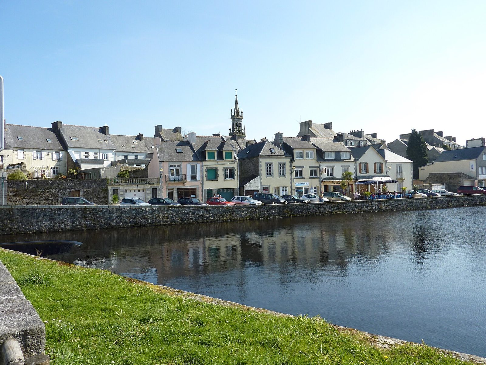
Huelgoat is nestled in the heart of a forest massif of more than 2,000 ha (state and private forests). Set beside a small lake that flows into the Rivière d'Argent before tumbling in a cascade into a ravine strewn with a chaos of enormous granite blocks. The land is covered with woods...
View full page →↓ 180.1 km · about 2 h 38 by car to the next stop
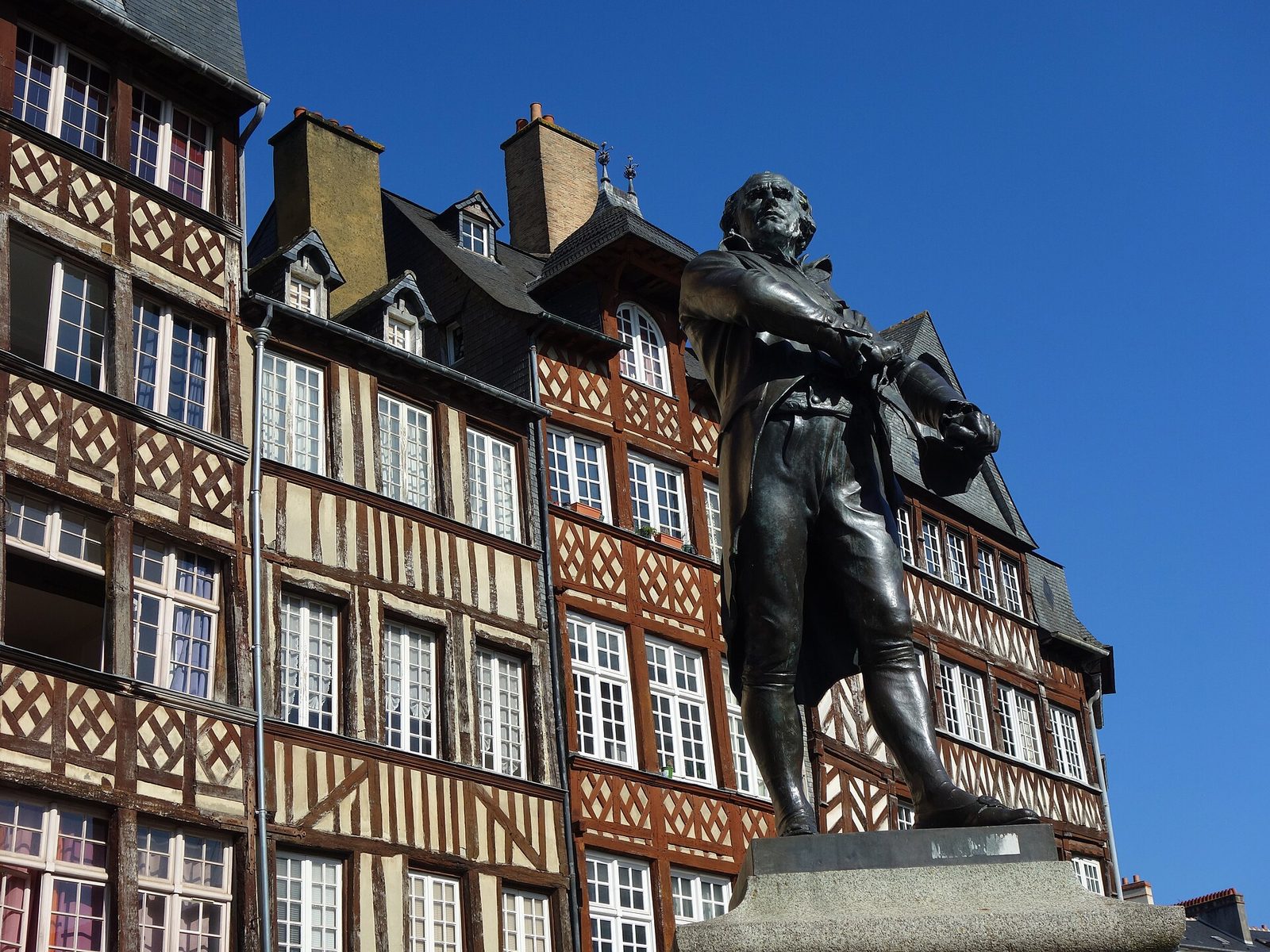
Capital of Brittany at the confluence of the Ille and the Vilaine, whose historic centre has kept hundreds of colourful half-timbered houses.
View full page →↓ 60.3 km · about 49 min by car to the next stop
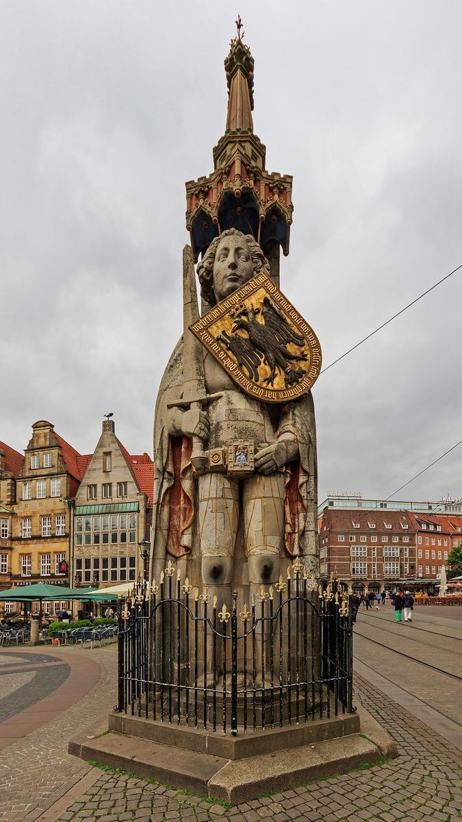
The Saut de Roland is a wooded rocky site in the commune of Dompierre-du-Chemin, in Ille-et-Vilaine, above the Cantache stream.
View full page →This day brings together 6 sites close to each other: natural wonders, beaches and aquariums. It passes through Crozon, Quimper and Concarneau. Allow half an hour to an hour and a half per site, plus travel time.
Driving for the day: about 244.1 km, or 4 h 22 behind the wheel in total (excluding visits).
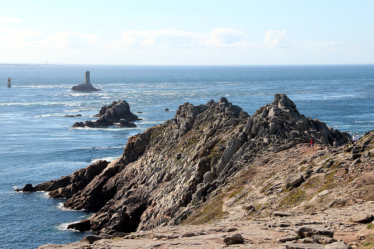
Located at the prow of Brittany in the Cap Sizun country, the Pointe du Raz is one of the most striking sites of the Atlantic coast.
View full page →↓ 83.1 km · about 1 h 42 by car to the next stop

The Pointe de Dinan, also called the Château de Dinan (with its drawbridge!), is a site not well known to tourists, and yet, what beauty!
View full page →↓ 8.5 km · about 16 min by car to the next stop
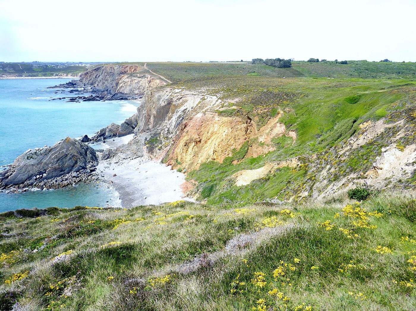
Wild beach on the Crozon peninsula, between dunes, cliffs and the remains of an Iron Age fort.
View full page →↓ 56.3 km · about 59 min by car to the next stop
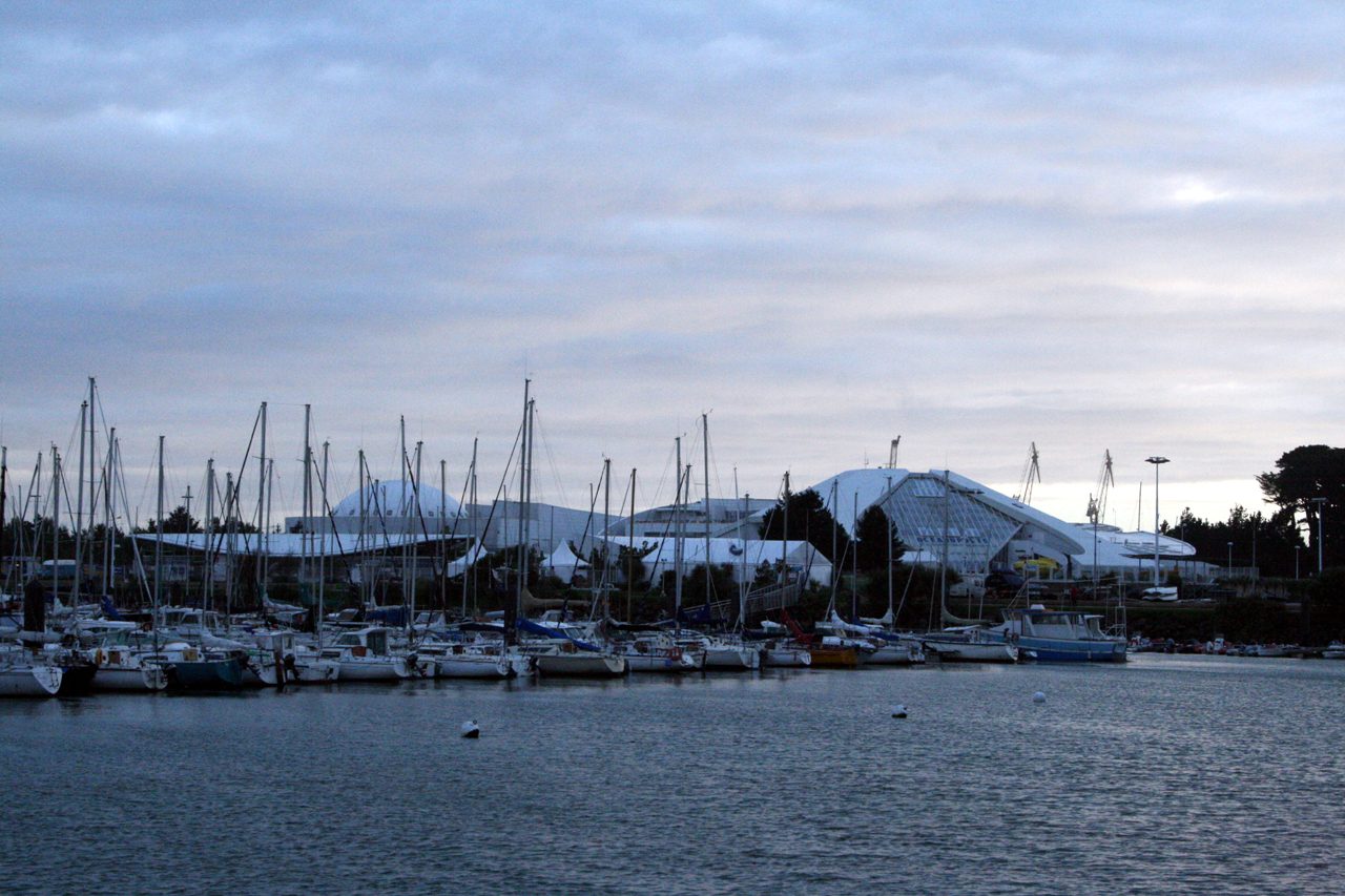
"Océanopolis Brest": the ocean discovery park. Everything you need for an unforgettable day!
View full page →↓ 69.8 km · about 59 min by car to the next stop
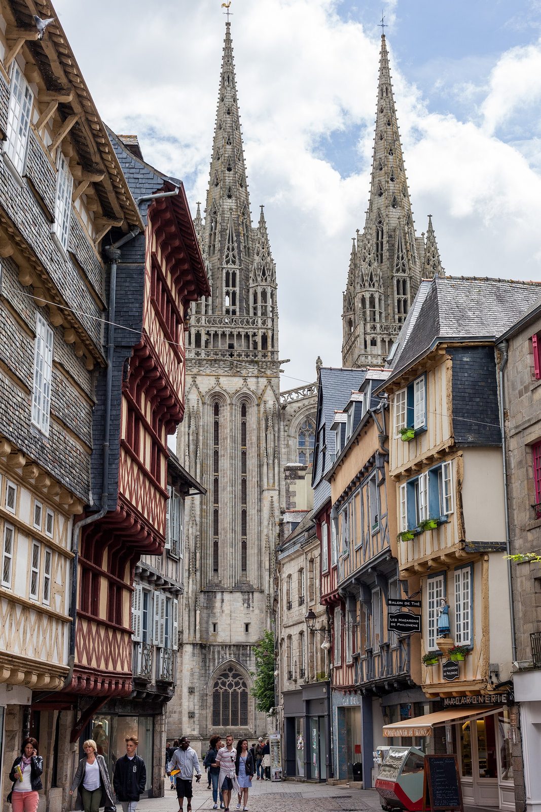
Prefecture of the Finistère and traditional capital of Cornouaille, where the twin spires of Saint-Corentin cathedral overlook a half-timbered centre.
View full page →↓ 26.5 km · about 26 min by car to the next stop
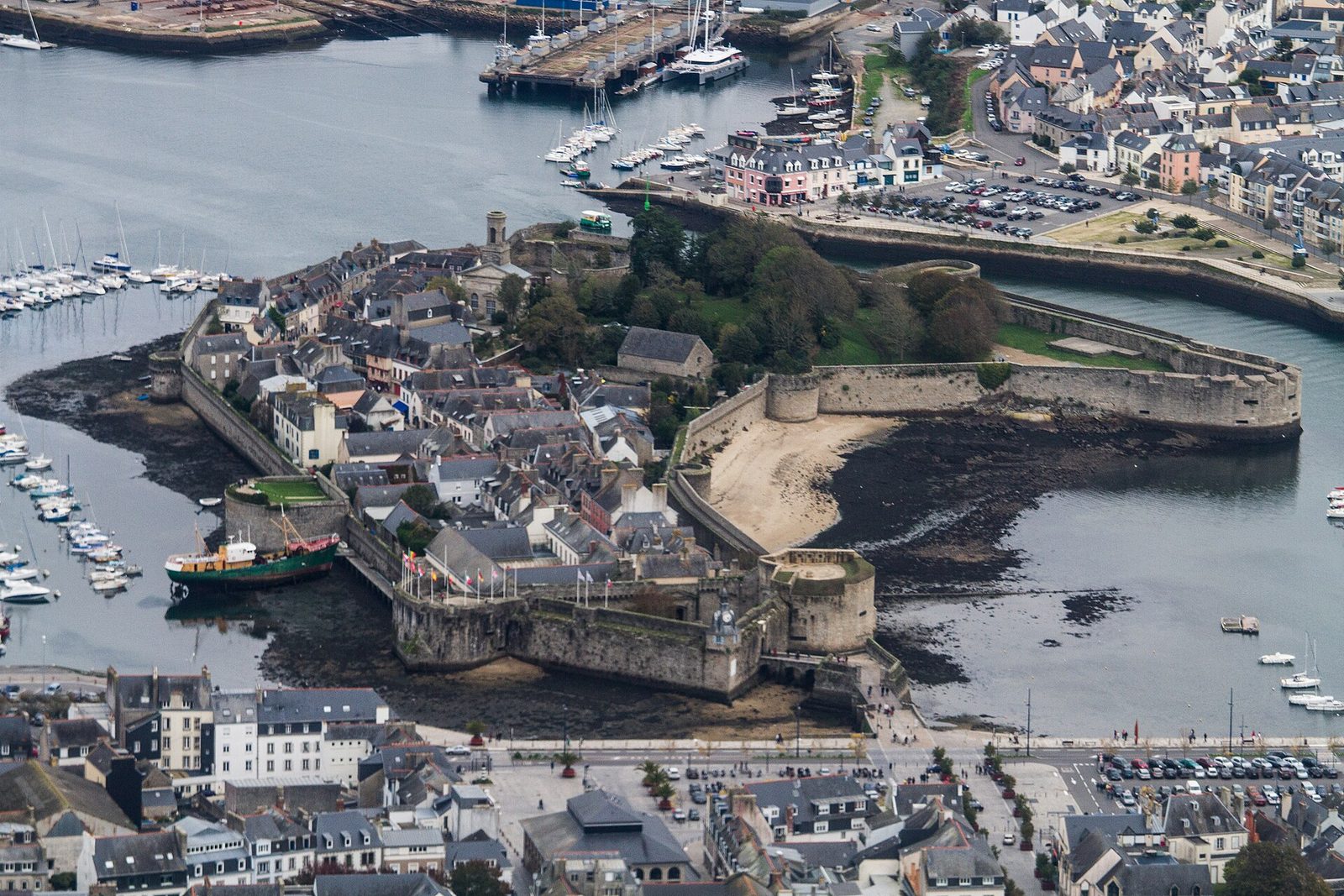
A Breton fishing port known for its Ville Close, a fortified town built on a rocky islet linked to the land by two bridges in the heart of the port.
View full page →This day brings together 3 sites close to each other: natural wonders, towns and cities and castles. It passes through Vannes. Allow half an hour to an hour and a half per site, plus travel time.
Driving for the day: about 194.4 km, or 4 h 37 behind the wheel in total (excluding visits).
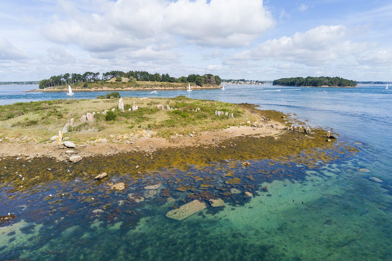
A small inland sea sown with a multitude of islands, the Gulf of Morbihan owes its Breton name, "little sea", to this sheltered stretch of the ocean. Megaliths, oyster farming and fishing villages make up the identity of this territory apart.
View full page →↓ 43.5 km · about 2 h 21 by car to the next stop
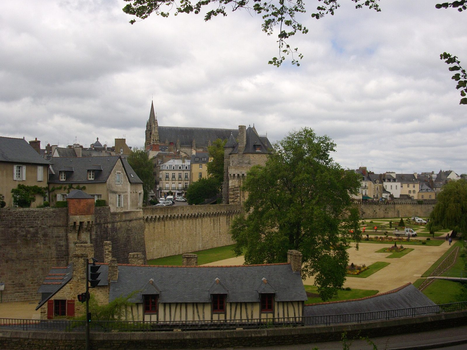
Prefecture of the Morbihan with intact medieval ramparts, where old wash-houses line the gardens below the half-timbered houses.
View full page →↓ 150.9 km · about 2 h 17 by car to the next stop
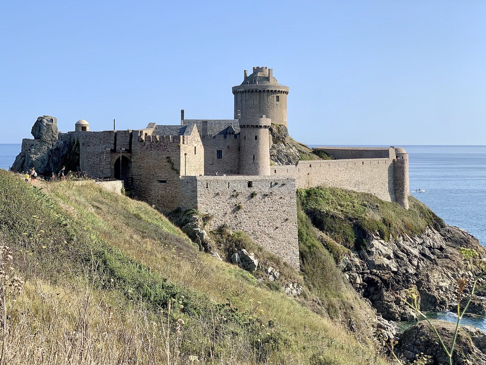
Every castle has its legends, and Fort La Latte is no exception.
View full page →This day brings together 3 sites close to each other: beaches and aquariums. It passes through Groix and Bangor. Allow half an hour to an hour and a half per site, plus travel time.
Driving for the day: about 272.9 km, or 7 h 49 behind the wheel in total (excluding visits).
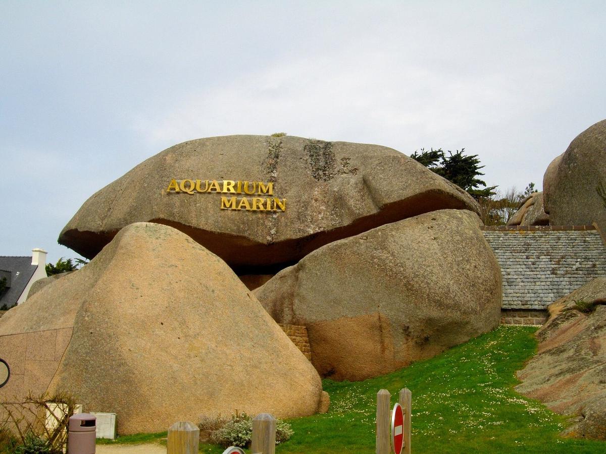
The Trégastel Marine Aquarium stands 100 metres from the beach and is hollowed out beneath a great pink granite boulder known as the "Père Éternel".
View full page →↓ 184.5 km · about 4 h 09 by car to the next stop
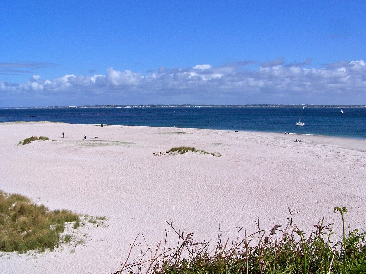
One of Europe's rare convex beaches, on the east coast of the island of Groix, with white sand and turquoise water.
View full page →↓ 88.5 km · about 3 h 40 by car to the next stop
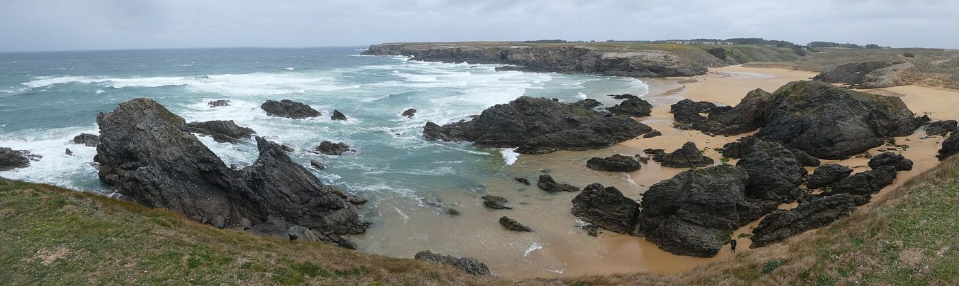
Large wild beach on the west coast of Belle-Île-en-Mer, between dunes and cliffs.
View full page →From May to September the days are long and conditions more favourable, but the weather stays changeable all year round. July and August are very busy on the coast. Spring and autumn offer beautiful light and calmer sites.
A car is the most flexible way to link the sites, but distances between the east and west of the region are significant. For the islands, you need to take a boat. The customs officers' path runs along a large part of the coast and can be walked in sections.
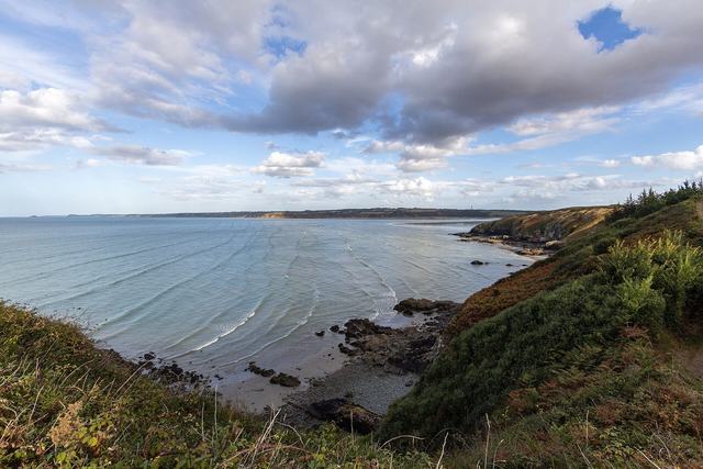
Pink sandstone cliffs 470 million years old, heaths and old quarries, at the eastern end of the bay of Saint-Brieuc.
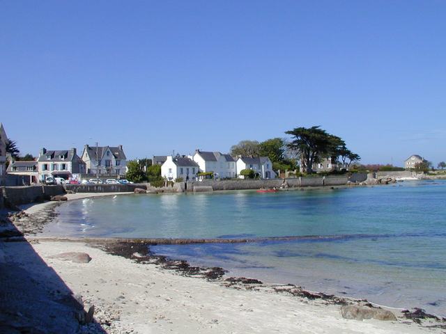
Brignogan lies on the Côte des Légendes. The landscape looks like a postcard of the islands.
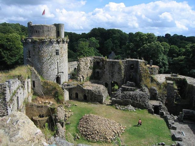
The imposing ruins of the château de Tonquédec stand in a fine setting, on a promontory overlooking the Léguer valley.
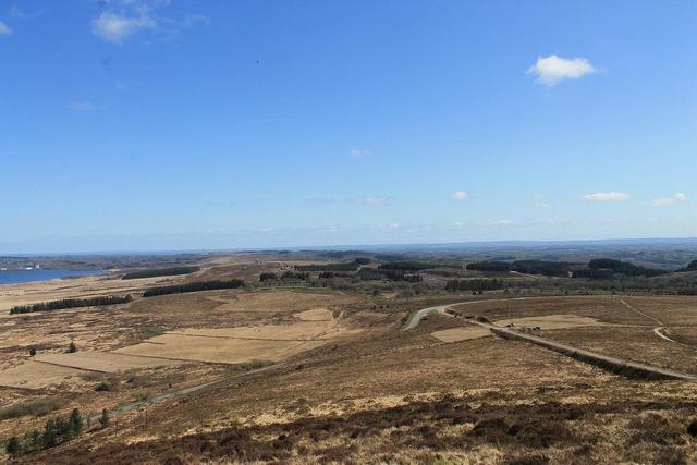
Within the Armorique Regional Nature Park (which also includes the Ponant islands and the Crozon peninsula), the Monts d'Arrée are the highest region of Brittany.

On this stretch of the Trégor coast, rocks of pinkish granite with shapes sculpted by erosion make up a landscape unique in France. The Customs Officers' path, between Perros-Guirec and Ploumanac'h, offers the most beautiful route.

Shaped like a cross set facing the Iroise sea, the Crozon peninsula multiplies rocky points and wild coves. Entirely within the Armorique regional nature park, it offers some of the finest panoramas of the Finistère.