Photo : Kev22 / Wikimedia Commons (CC BY-SA 4.0) — remplacée : l'ancien fichier était une carte de localisation, pas une photo du site
Les Monts d'Arrée
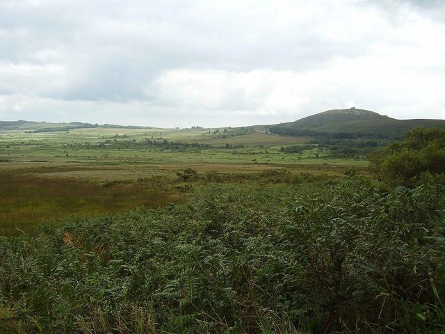
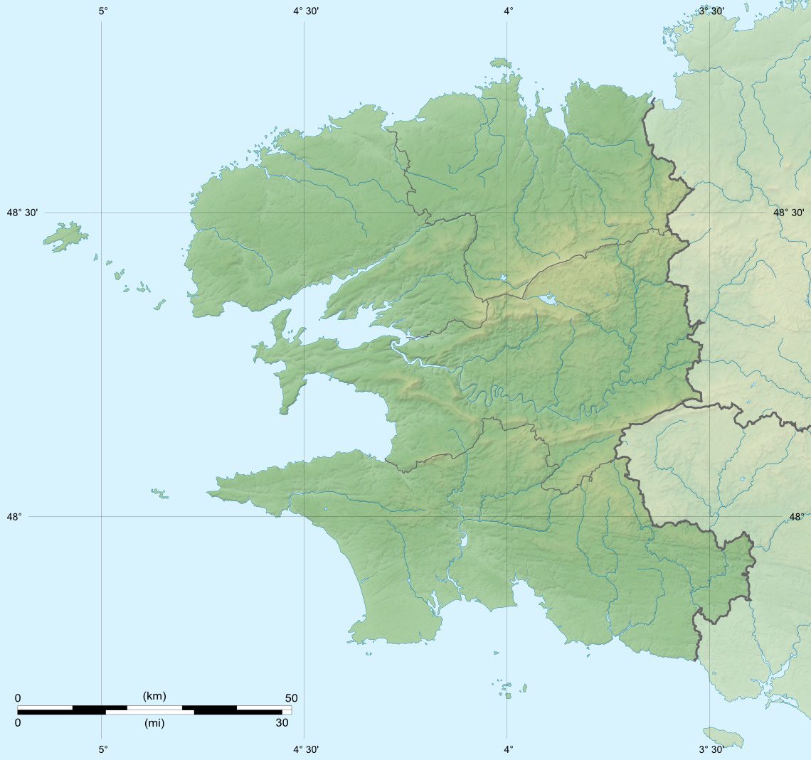
Within the Armorique Regional Nature Park (which also includes the Ponant islands and the Crozon peninsula), the Monts d'Arrée are the highest region of Brittany. Although the highest summits do not reach impressive heights (384 metres for the Tuchenn Gador, the Signal de Toussaines), the reliefs are very real and the panoramas magnificent.
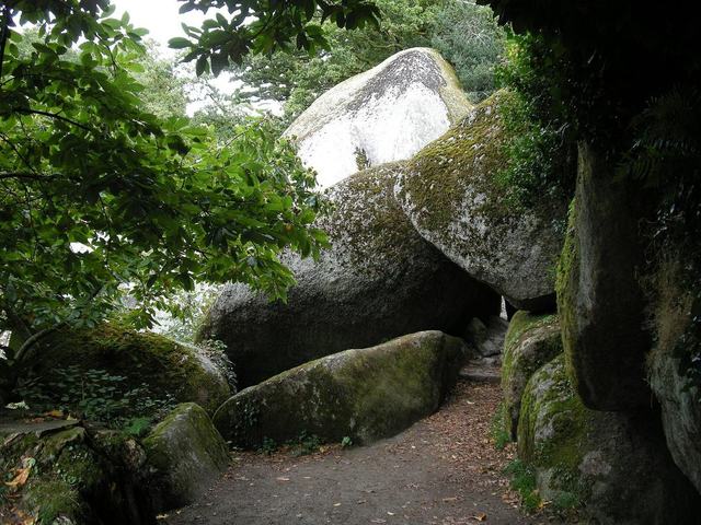
The region is very sparsely populated, barely 40 inhabitants per square kilometre, because of a very harsh climate. Winters there are cold, windy and rainy, and it is not rare for the summits to be even snow-covered. And in summer the region quickly turns into a veritable furnace... In short, a not very welcoming region! But the landscapes are original and often magnificent: hills worn by erosion, rocky ridges, endless heaths, peat bogs, deep forests... Few places in Brittany enjoy such varied landscapes!
It is no doubt the harshness of the region that makes it one of the high places of the Breton imagination. Few places have been so frequented by the Devil! It is even said that the gates of Hell are in the peat bogs of the Yeun Elez...