Lakes · Alpes-Maritimes
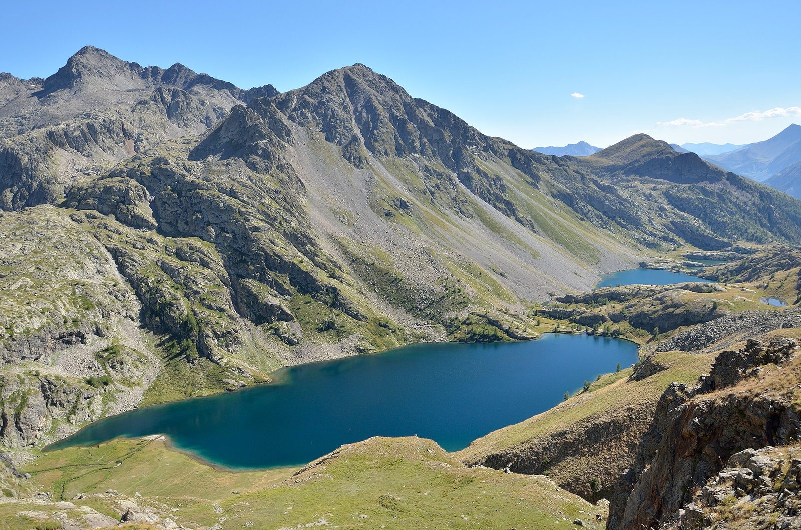
1 Lacs de Vens
A string of five glacial lakes between 2,286 and 2,327 metres' altitude in the Mercantour, overlooked by the Vens refuge, in the commune of Saint-Étienne-de-Tinée.
View full page →The Alpes-Maritimes combine the Côte d'Azur, hilltop villages, gorges and the high mountains of the Mercantour. In a few kilometres you go from the sea to the peaks.
This itinerary spreads the best-rated sites in the catalogue over three days.
The map shows the numbered stops in visiting order, with one colour per day. The line follows the roads where available; otherwise it joins the stops as the crow flies. Distances and times are approximate (by car, without traffic).
This day brings together 3 sites close to each other: waterfalls and lakes. Allow half an hour to an hour and a half per site, plus travel time.
A string of five glacial lakes between 2,286 and 2,327 metres' altitude in the Mercantour, overlooked by the Vens refuge, in the commune of Saint-Étienne-de-Tinée.
View full page →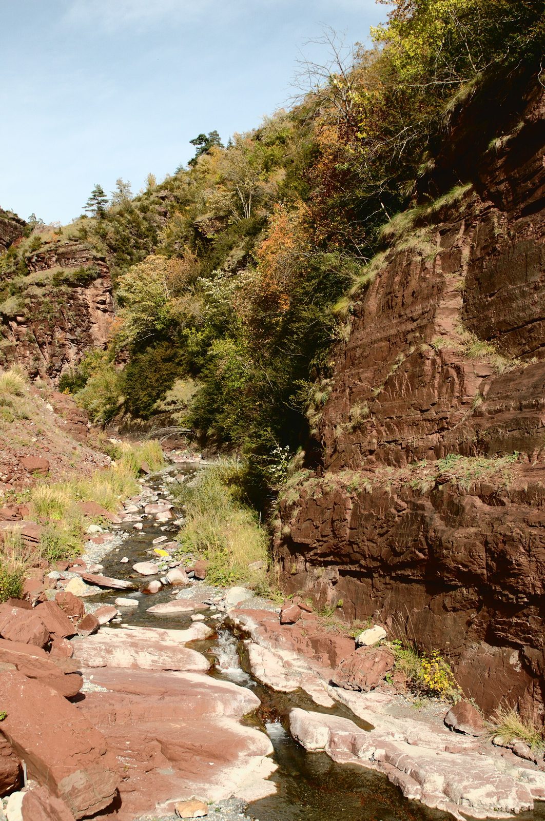
The Cians is a river that rises at the foot of Mont Mounier (alt. 2,817 m) on the slopes of Pierrous.
View full page →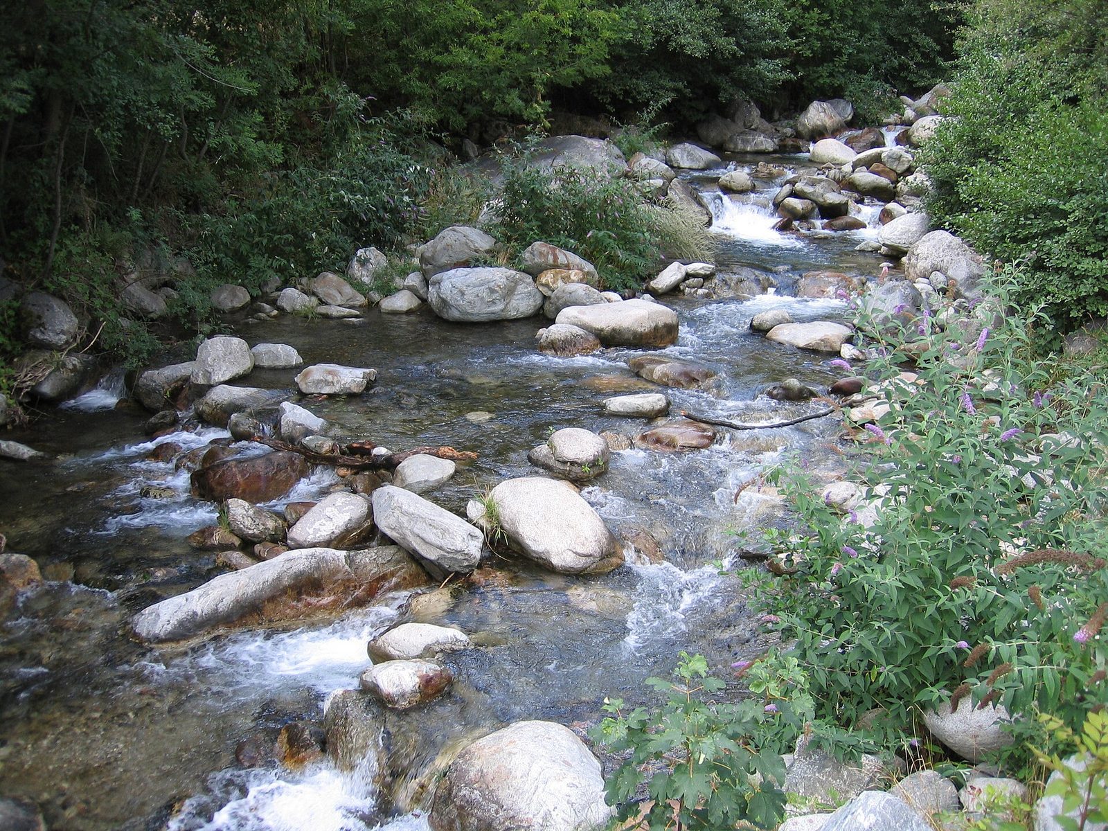
It is here, from the charming hamlet of Cros d'Utelle, that the route starts, where you will admire the skill of the Ancients while treading a wide path whose paving is still intact in places.
View full page →This day brings together 5 sites close to each other: villages, castles and waterfalls. It passes through Monaco. Allow half an hour to an hour and a half per site, plus travel time.
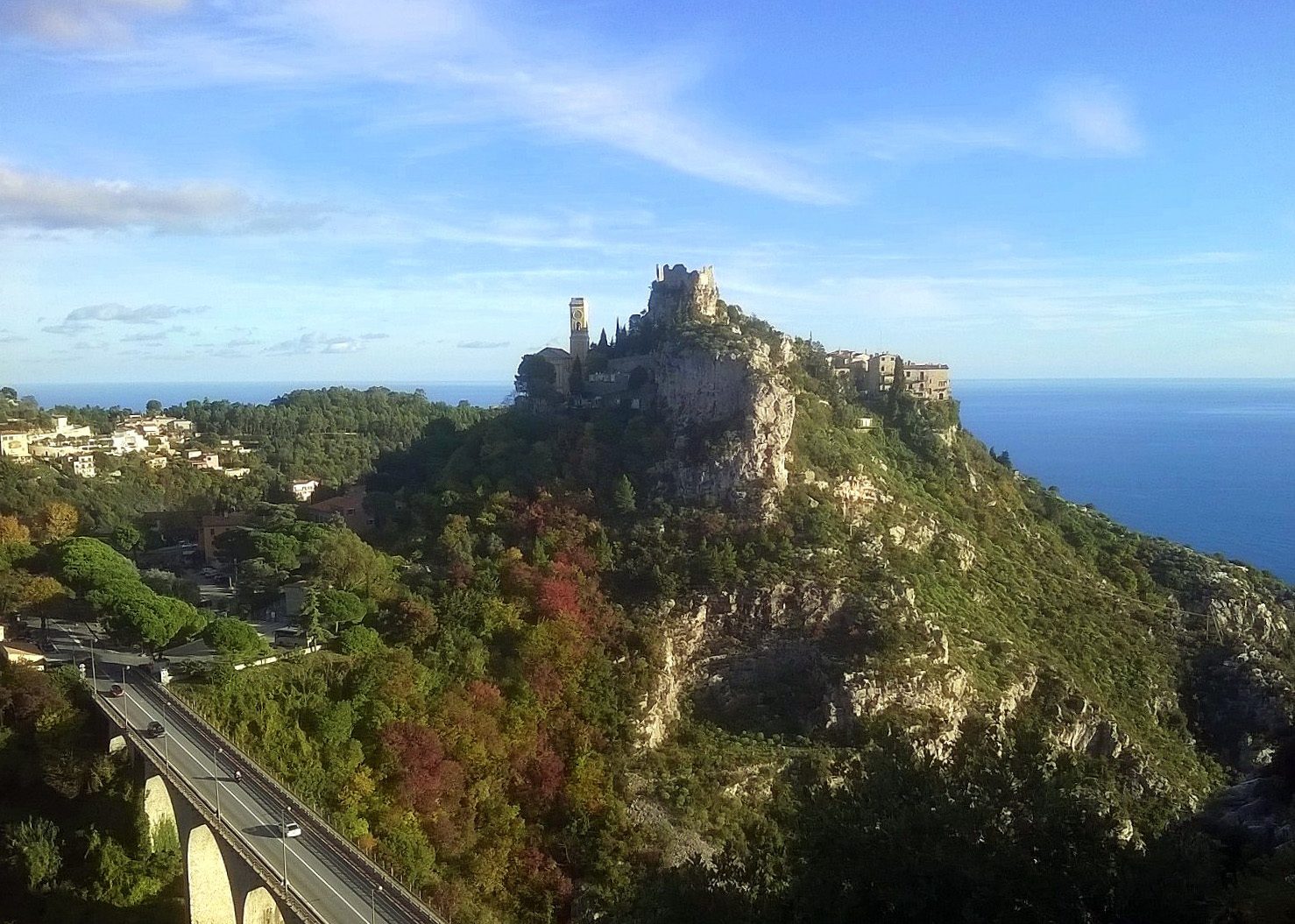
Located just after Nice, going towards Menton, Èze stretches along the sea from Cap Roux to the Pointe de Cabuel. Perched like an eagle's nest at the top of an imposing and superb cliff, you will see the village and its pale ochre church from afar.
View full page →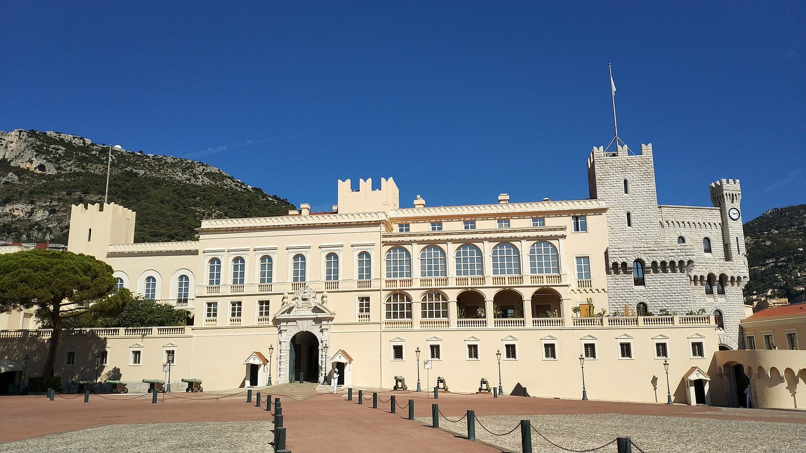
Official residence of the princes of Monaco since 1297, this palace perched on the Rock hosts the changing of the guard every noon, one of the most-watched attractions in the Principality.
View full page →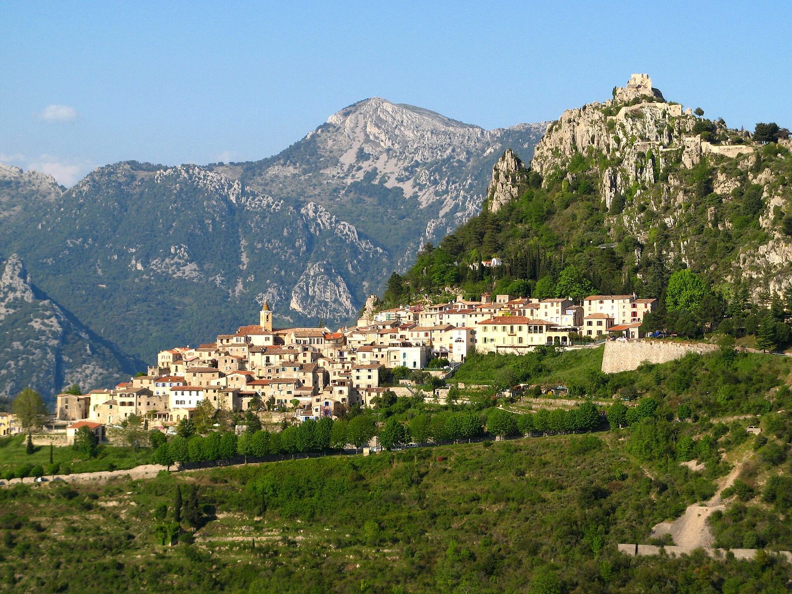
You reach this village by the hairpins of a narrow road crossing a terraced landscape planted with olive trees and mimosas.
View full page →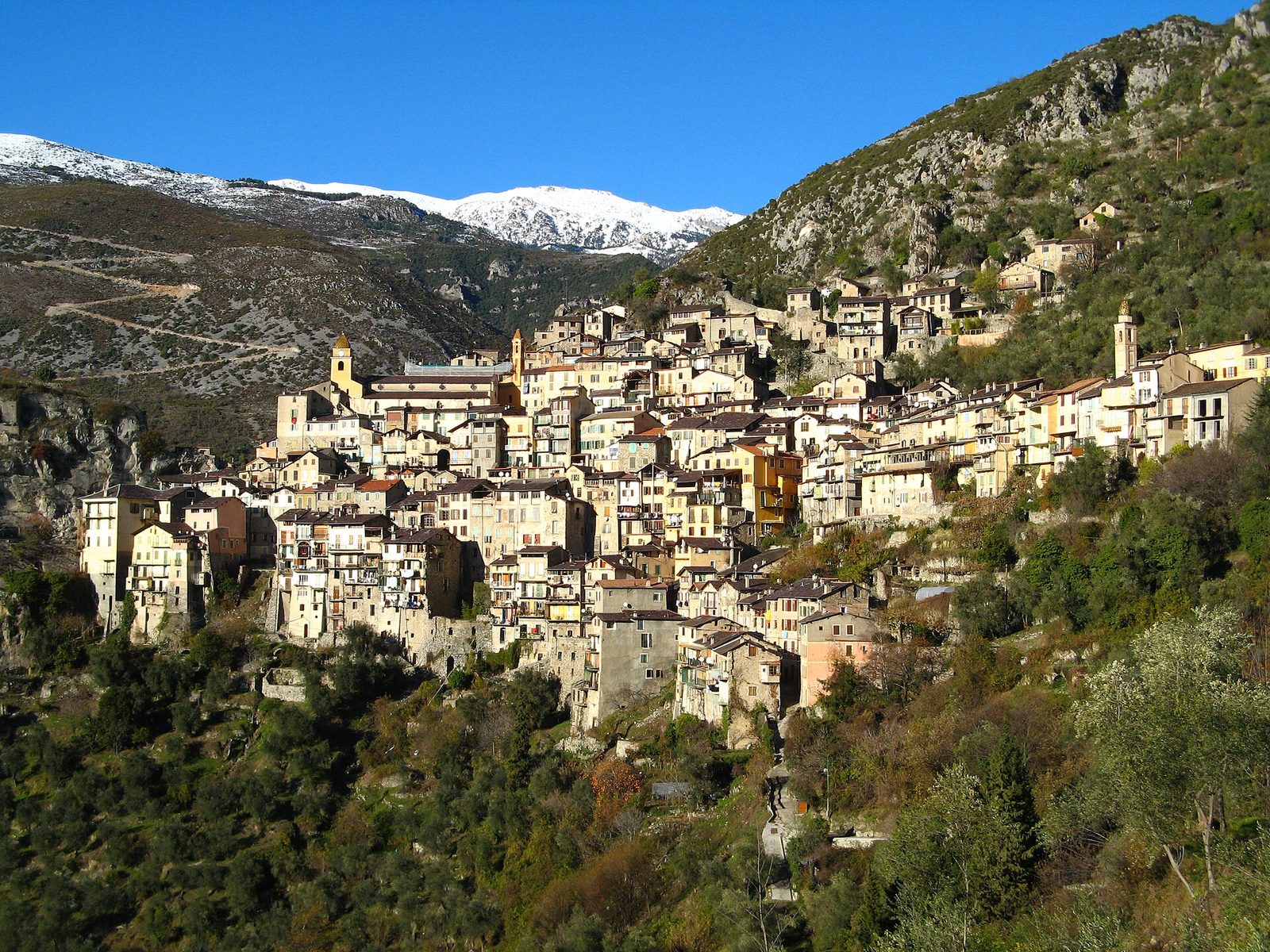
Saorge, at 550 m altitude, impressively overlooks the Roya valley, with a concentration of houses huddled against each other, several storeys high, and tiered on several levels.
View full page →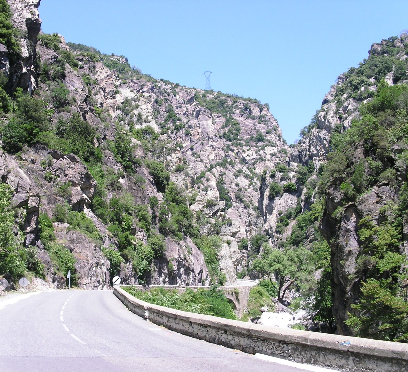
The Saorge gorges are carved by the Roya downstream of the hilltop village of Saorge, in the upper Roya valley.
View full page →This day brings together 4 sites close to each other: caves, waterfalls and natural wonders. It passes through Saint-Paul-de-Vence. Allow half an hour to an hour and a half per site, plus travel time.
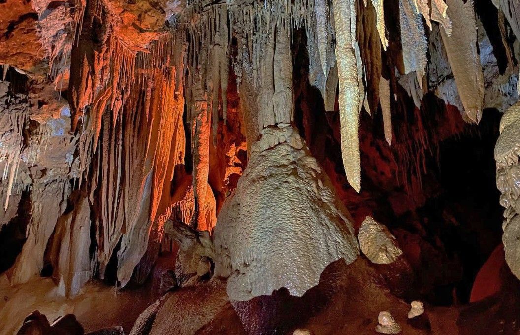
The Baume Obscure cave sinks 60 metres underground. Erosion from flowing water has sculpted magnificent stalactites and stalagmites and other forms coloured red due to the presence of iron oxide in the rock.
View full page →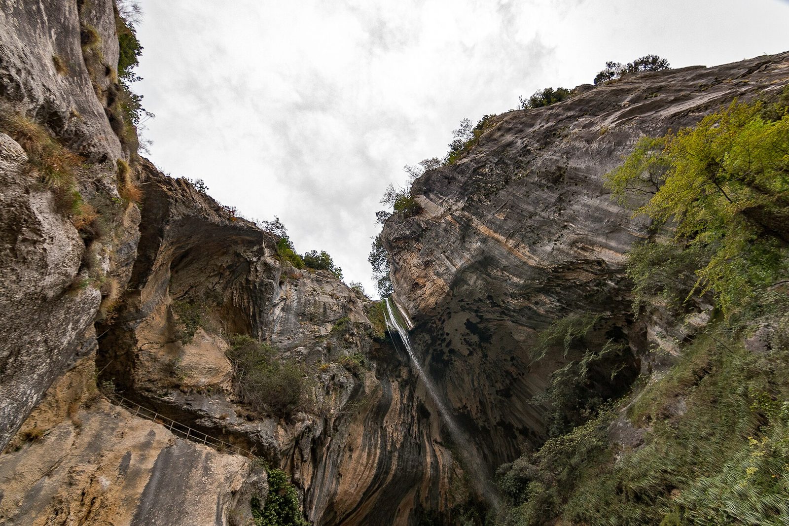
A magnificent little village on the left bank of the Loup, Courmes clings to the mountainside, at 620 metres' altitude, in the hollow of the Pic des Courmettes.
View full page →
The place called "Pont du Loup", on the road linking Grasse to Tourrettes-sur-Loup, marks the entrance to this defile. From there you must look up to the sky to see the village of Gourdon, perched above the cliffs.
View full page →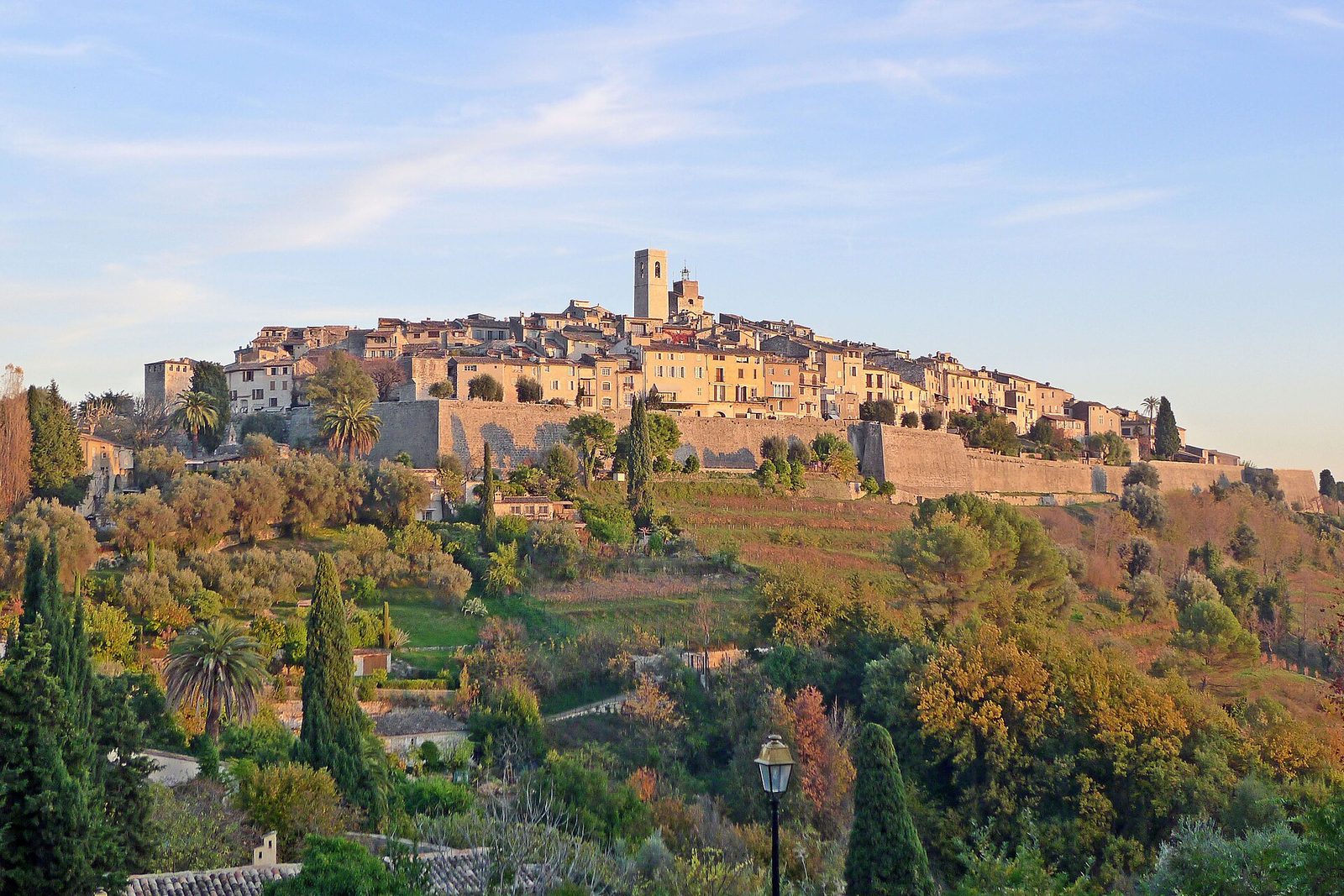
A fortified village become a high place of modern art, Saint-Paul-de-Vence has drawn artists and galleries for a century into its cobbled lanes perched above the Baie des Anges.
View full page →Spring and autumn are the most pleasant. Summer is hot and very busy on the coast. Winter lets you enjoy the towns and villages, with snow at altitude.
A car is practical, but traffic is heavy on the coast. Trains link the coastal towns. Mountain roads are winding.
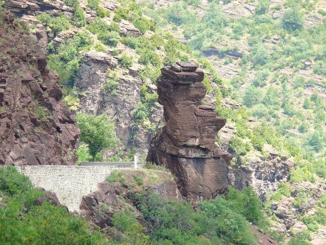
The red gorges: the name Daluis comes from the name of a commune on the right bank of the Haut-Var, downstream of the magnificent gorges of red Permian schists that make this tourist circuit world-famous. Of the same nature as the Cians gorges, the Daluis gorges are...

The Saut du Loup is a waterfall nestled in the heart of the Loup gorges, in the Alpes-Maritimes, between the villages of Gourdon and Pont-du-Loup.
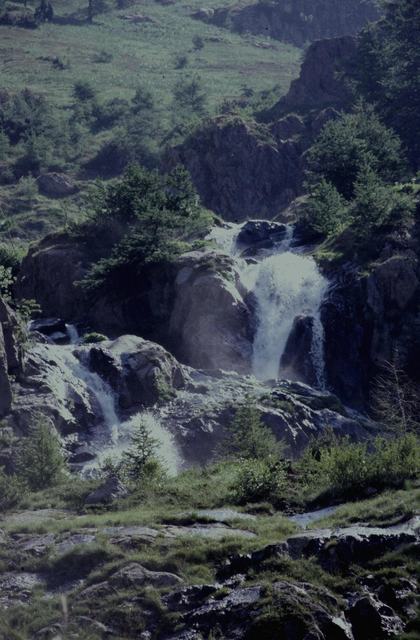
Visible from the Col de la Bonette-Restefond road, the Vens waterfall gushes a few kilometres from Saint-Étienne-de-Tinée, in the Mercantour.

The Clue de la Cerise lies in the Estéron valley, cradled in a limestone setting, and will carry you along with the water through superb narrow passages that delight young and old.
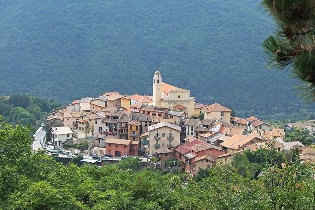
The Bollène valley is in the Vésubie valley. The Bollène giant's kettles are well known to canyoning enthusiasts. There is a 15 m slide. The emerald-coloured water invites a swim.

Amid olive trees, the cobbled lanes of Coaraze lead to the thirteenth-century church, adorned in the seventeenth century, under Italian Baroque influence, with 118 cherubs in a polychrome setting.