1 Torrent de la Têt
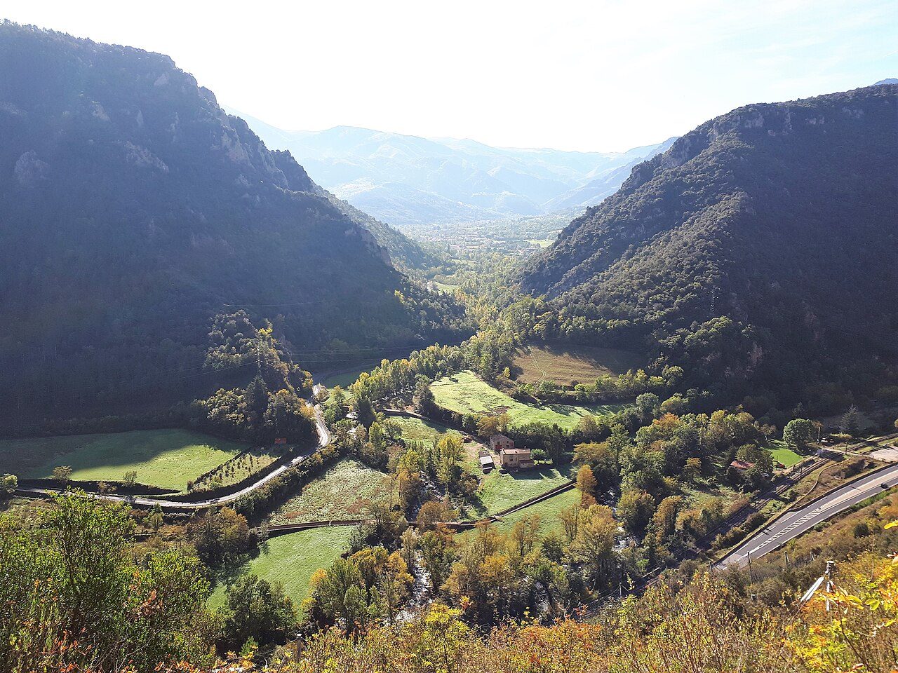
The Têt rises in the Carlit massif, near Lac des Bouillouses, and runs about a hundred kilometres from west to east to its mouth in the Mediterranean, north of Canet-en-Roussillon.
View full page →The Pyrénées-Orientales combine the Vermilion Coast, the Conflent, the Canigou and the Cerdagne. You will find Vauban fortresses, gorges, villages and Catalan heritage.
This itinerary spreads the best-rated sites in the catalogue over three days.
The map shows the numbered stops in visiting order, with one colour per day. The line follows the roads where available; otherwise it joins the stops as the crow flies. Distances and times are approximate (by car, without traffic).
This day brings together 5 sites close to each other: villages, natural wonders and caves. Allow half an hour to an hour and a half per site, plus travel time.
Driving for the day: about 139.4 km, or 2 h 42 behind the wheel in total (excluding visits).
The Têt rises in the Carlit massif, near Lac des Bouillouses, and runs about a hundred kilometres from west to east to its mouth in the Mediterranean, north of Canet-en-Roussillon.
View full page →↓ 27.3 km · about 34 min by car to the next stop
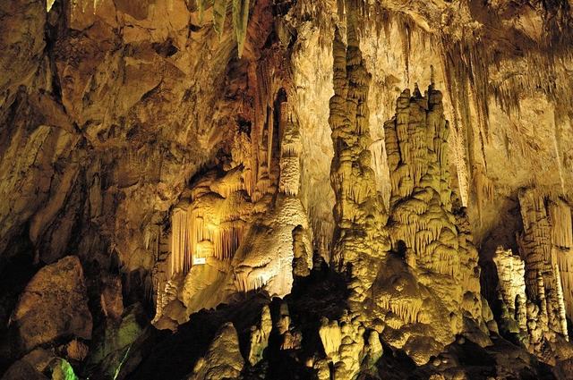
The Fontrabiouse cave, in the Pyrénées-Orientales, is equipped for guided visits all year round on a route of about an hour.
View full page →↓ 43.1 km · about 49 min by car to the next stop
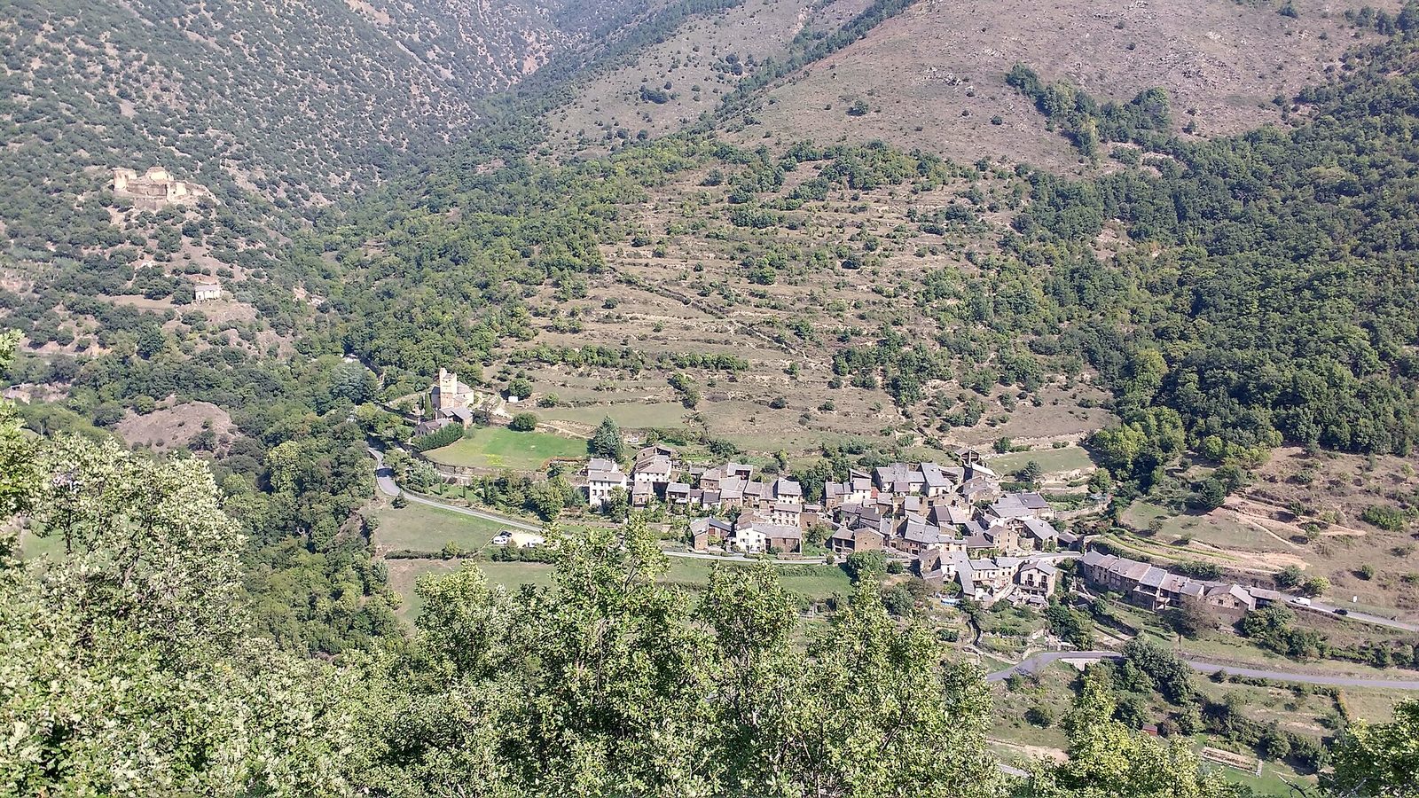
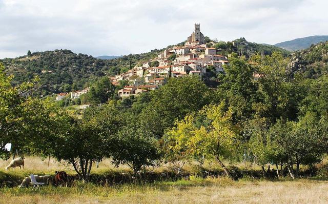
Évol is two kilometres north-west of the town of Olette. It is a typical village that has kept its heritage and architecture.
View full page →↓ 13.5 km · about 18 min by car to the next stop
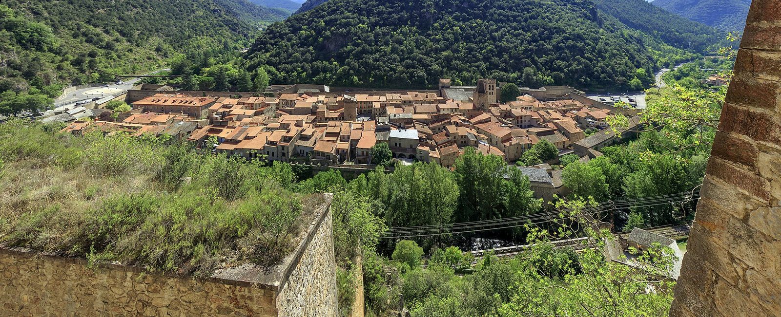
In the eleventh century, the powerful count of Cerdanya, opposed to the count of Roussillon, found in Villefranche a strategic site, the village being deeply set at the confluence of two rivers.
View full page →↓ 55.5 km · about 1 h 00 by car to the next stop
The Galamus Gorges offer the grandiose spectacle of the struggle between water and limestone rock.
View full page →This day brings together 3 sites close to each other: natural wonders and waterfalls. It passes through Vernet-les-Bains. Allow half an hour to an hour and a half per site, plus travel time.
Driving for the day: about 176.3 km, or 3 h 20 behind the wheel in total (excluding visits).
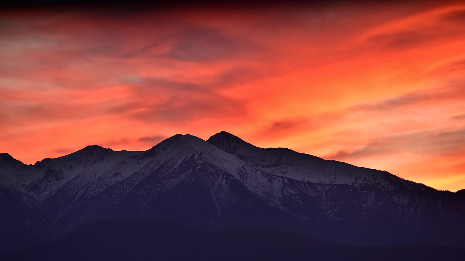
At 2,785 metres, the emblematic summit of the Catalans, the easternmost high point of the Pyrenees, visible from the Mediterranean in clear weather.
View full page →↓ 106.0 km · about 2 h 02 by car to the next stop
In the heart of summer, shade and coolness are sometimes welcome... Add the extraordinary beauty of a site and the walk becomes even more pleasant.
View full page →↓ 70.3 km · about 1 h 17 by car to the next stop
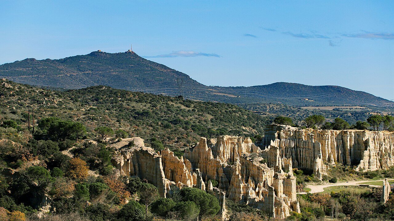
"Les Orgues" are strange rock formations eroded by time and shaped like chimneys.
View full page →This day brings together 4 sites close to each other: theme parks, villages and castles. It passes through Collioure. Allow half an hour to an hour and a half per site, plus travel time.
Driving for the day: about 19.7 km, or 34 min behind the wheel in total (excluding visits).
Extreme thrills for climbing and sliding fans: jumps of 3 to 7 m, slides, abseiling under waterfalls, climbing nets, rope ladders, a 100 m zip line ending in the water. Equipment provided on site.
View full page →↓ 10.5 km · about 17 min by car to the next stop
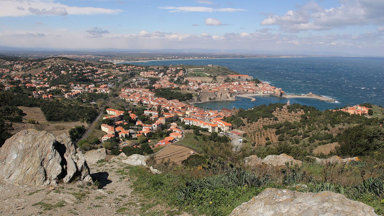
A little Catalan port of colourful houses nestled in a cove of the Vermilion Coast, immortalised by Matisse and the Fauvist painters in the early twentieth century.
View full page →↓ 1.4 km · about 4 min by car to the next stop
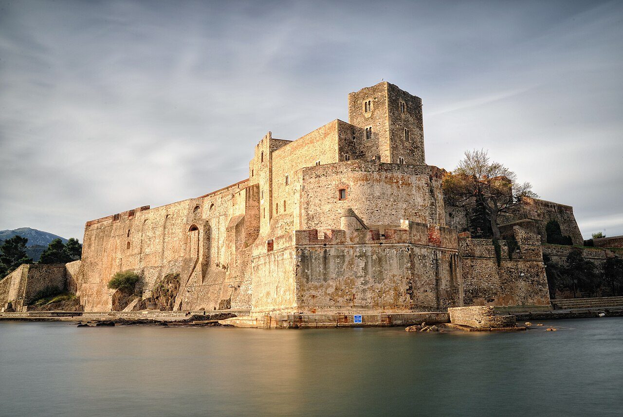
A superb citadel whose foundations plunge into the sea, the château de Collioure was built on the remains of Roman constructions, later transformed in Visigothic times and first cited in 673.
View full page →↓ 7.9 km · about 13 min by car to the next stop
Located in the commune of Port-Vendres towards Banyuls-sur-Mer, encircled by the famous Banyuls-Collioure vineyard, the Anse de Paulilles is one of the most beautiful on the Catalan rocky coast.
View full page →Spring and autumn are the most pleasant. Summer is hot on the coast, but cooler in the mountains. Winter is mild on the coast and snowy at altitude.
A car is practical, but the Yellow Train offers an original way to discover the valleys. Mountain roads are slow.

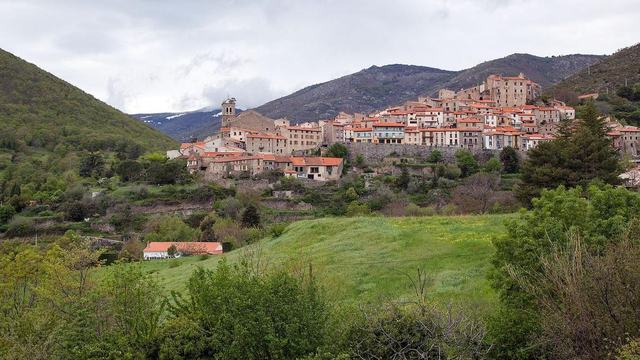
Between Perpignan and Font-Romeu, the commune of Mosset is one of the largest in the Pyrénées-Orientales département, with a vast territory of 7,120 hectares, for an elevation difference of nearly 2,000 m. A medieval village, a former border town between the Kingdom of France and that of Aragon…

On the Perpignan–Andorra route, 200 m from the medieval town of Villefranche-de-Conflent, the Grandes Canalettes cave is one of the last caves developed in France.

Designed for defence, Eus repelled the French in 1598 and in 1793 the Spanish army that then dominated the Conflent.

In the Roussillon plain, south-west of Perpignan, this old fortified village nestles at the foot of a former feudal castle remodelled in the last century.

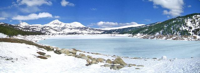
Lac des Bouillouses and the Pic del Pam (2,470 m). After leaving the tarmac of the car park, the path climbs into the firs and, after a few minutes, gives glimpses of unusual views of the Bouillouses.

Inaugurated in 1992, the new Tautavel Museum, European Centre of Prehistory, is a formidable tool for popularising the sciences related to archaeology and particularly to prehistory over the periods of the Mediterranean Quaternary.