Photo : Alan Mattingly / Wikimedia Commons (CC BY-SA 4.0)
Torrent de la Têt
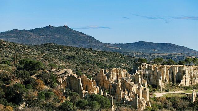
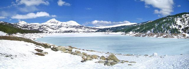
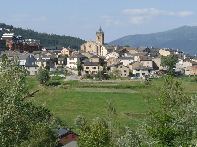
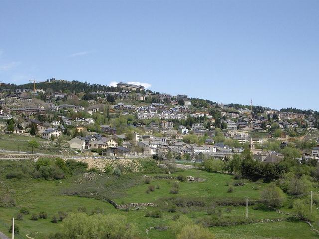
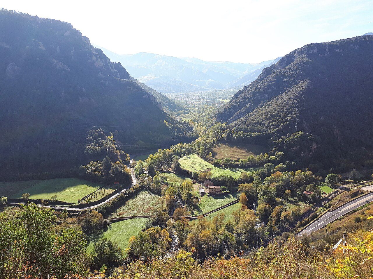
The Têt is a coastal river of the Pyrénées-Orientales about 115 kilometres long. It rises in the commune of Angoustrine-Villeneuve-des-Escaldes, under the Puig de la Cometa d'Espagne, a few kilometres north of Pic Carlit, then crosses the Conflent and the Roussillon from west to east. It passes notably through Villefranche-de-Conflent, Prades, Ille-sur-Têt and Perpignan, before flowing into the Mediterranean at Canet-en-Roussillon.
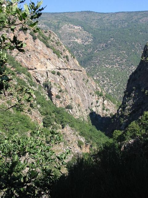
Its regime is nival: fed by the melting of Pyrenean snow in spring, it can also see autumn floods. Its flow record, 3,600 cubic metres per second, was reached in the aiguat of 1940. It carves several gorges in the mountain, such as those of La Guillera and La Carança, before spreading its bed across the Roussillon plain, where its waters have long served for irrigation.