A misleading name
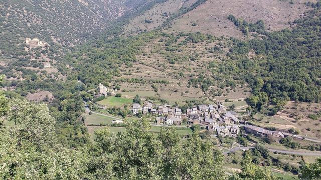
People speak of "Cathar castles", but these fortresses were not all built by the Cathars, nor even inhabited by them. Catharism is a medieval religious movement that developed in Languedoc in the twelfth and thirteenth centuries. Several fortresses served as refuges for lords or followers, before being taken during the crusade launched against the movement.
After the conquest, many of these fortresses were integrated into the defensive system of the French crown, especially facing Aragon. It is this military past that explains their perched position and massive architecture.
Spectacular sites
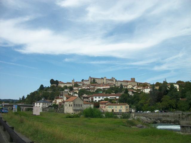
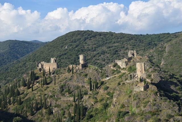
The fortresses of the Corbières and the Pyrenees stand out for their settings: rocky pinnacles, ridges, cliffs. Several offer wide panoramas over vineyards, garrigue scrub and mountains. Their jagged outline can be recognised from very far away.
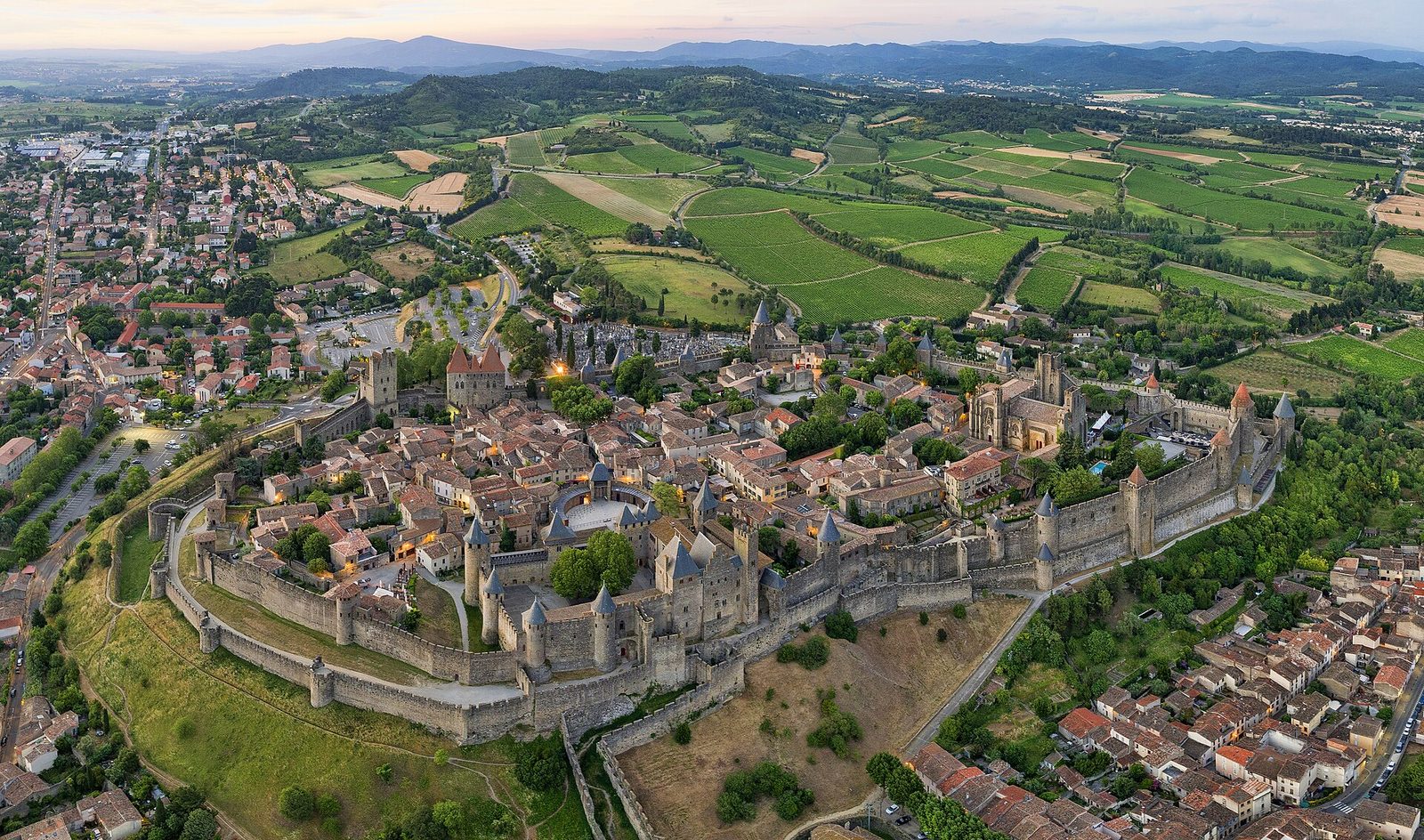
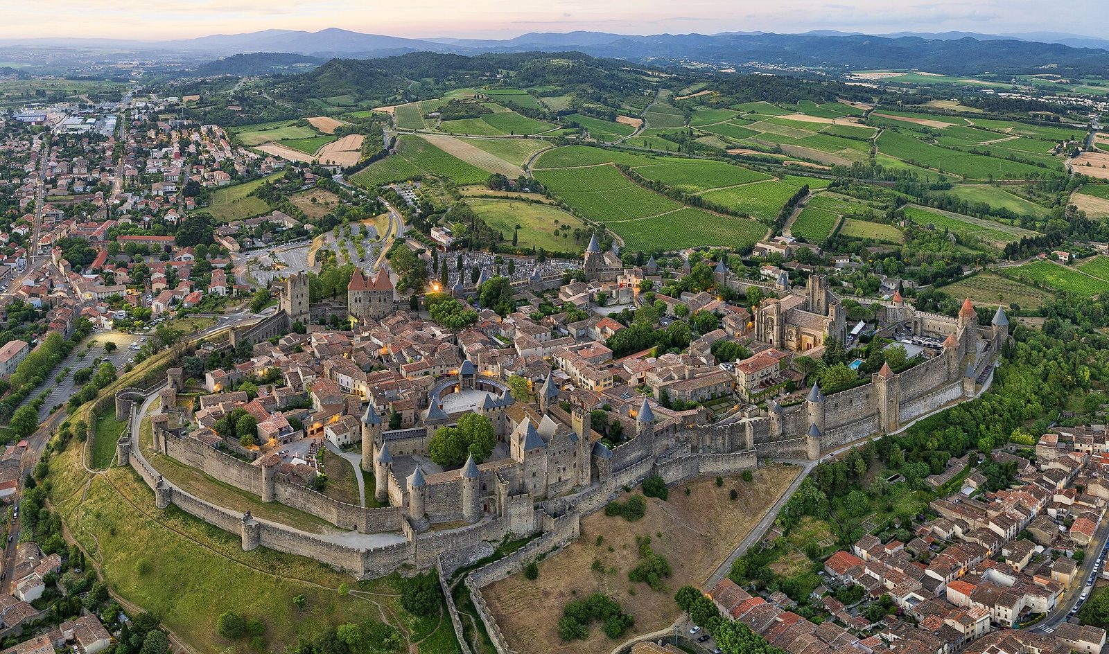
The city of Carcassonne, with its double ramparts, is a case apart: it is a large fortified complex, restored in the nineteenth century, which attracts many visitors.
Landscapes and local produce
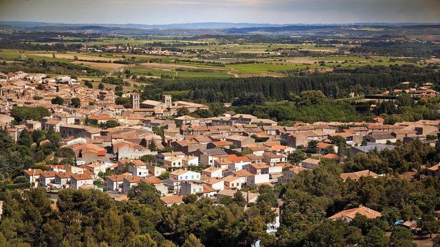
The Corbières is a land of vines, garrigue and stone villages. The wines are renowned, and wine estates often offer tastings. In the south, the Ariège and Catalan Pyrenees offer valleys, gorges and natural sites.
Local cooking gives pride of place to cassoulet, mountain produce and the wines of Languedoc and Roussillon. Remember to book, as some restaurants are small.
How to organise your trip
Four days let you visit several fortresses and discover the landscapes. Group them by area: the Corbières, the Fenouillèdes, the Ariège Pyrenees. Allow several hours per site, as the climb and the visit take time.
The itinerary below groups the best-rated sites in the catalogue by proximity. Alternate fortresses with breaks in villages, and keep some slack for narrow roads.
Our day-by-day itinerary
The map shows the numbered stops in visiting order, with one colour per day. The line follows the roads where available; otherwise it joins the stops as the crow flies. Distances and times are approximate (by car, without traffic).
Day 1 — Château de Carcassonne to Canal du Midi au Somail
This day brings together 4 sites close to each other: natural wonders, castles and villages. It passes through Le Somail. Allow half an hour to an hour and a half per site, plus travel time.
Driving for the day: about 110.2 km, or 2 h 13 behind the wheel in total (excluding visits).
Castles · Aude
It is from the modern bridge spanning the Aude that you should discover the city of Carcassonne. And if possible when the setting sun tints with golden-glinting pinkish grey its geometry, both elegant and complex.
View full page →
↓ 1.3 km · about 4 min by car to the next stop
Villages · Aude
A fortified medieval town, with the history of the crusade against the Albigensians, the still-inhabited Cité de Carcassonne lies on the right bank of the Aude.
View full page →
↓ 43.4 km · about 54 min by car to the next stop
Natural wonders · Aude
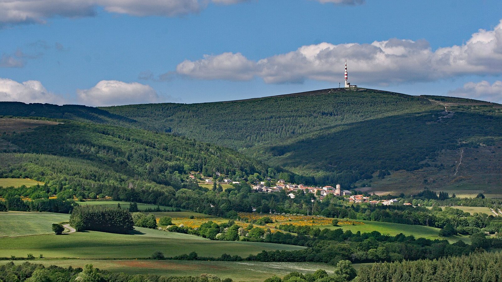
The Pic de Nore is the highest point of the Montagne Noire (1,210 m), a southern balcony of the Cévennes.
View full page →
↓ 65.5 km · about 1 h 16 by car to the next stop
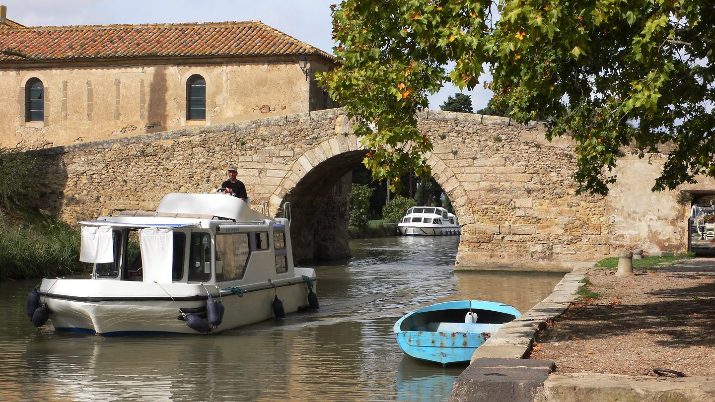
Natural wonders · Le Somail
Shaded by its century-old plane trees, the hamlet of Le Somail is one of the most picturesque stops on the Canal du Midi, a seventeenth-century engineering masterpiece listed by UNESCO.
View full page →
Day 2 — Grotte du Mas-d'Azil to Château de Puivert
This day brings together 5 sites close to each other: caves and castles. Allow half an hour to an hour and a half per site, plus travel time.
Driving for the day: about 125.4 km, or 2 h 34 behind the wheel in total (excluding visits).
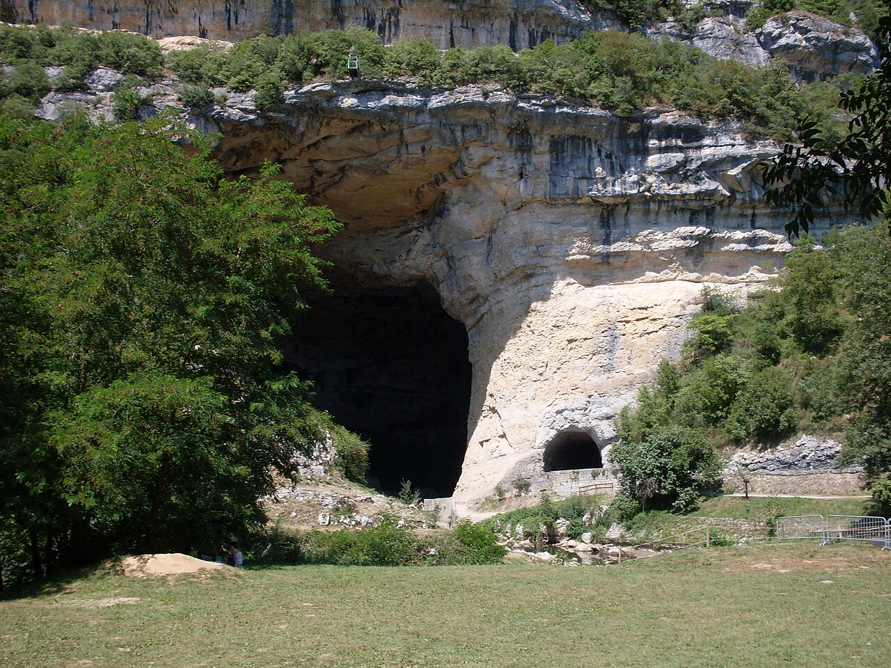
Caves · Ariège
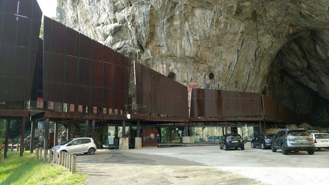
The Mas d'Azil cave: carved in the heart of the Plantaurel range, it offers an underground complex unique in Europe.
View full page →
↓ 49.2 km · about 53 min by car to the next stop
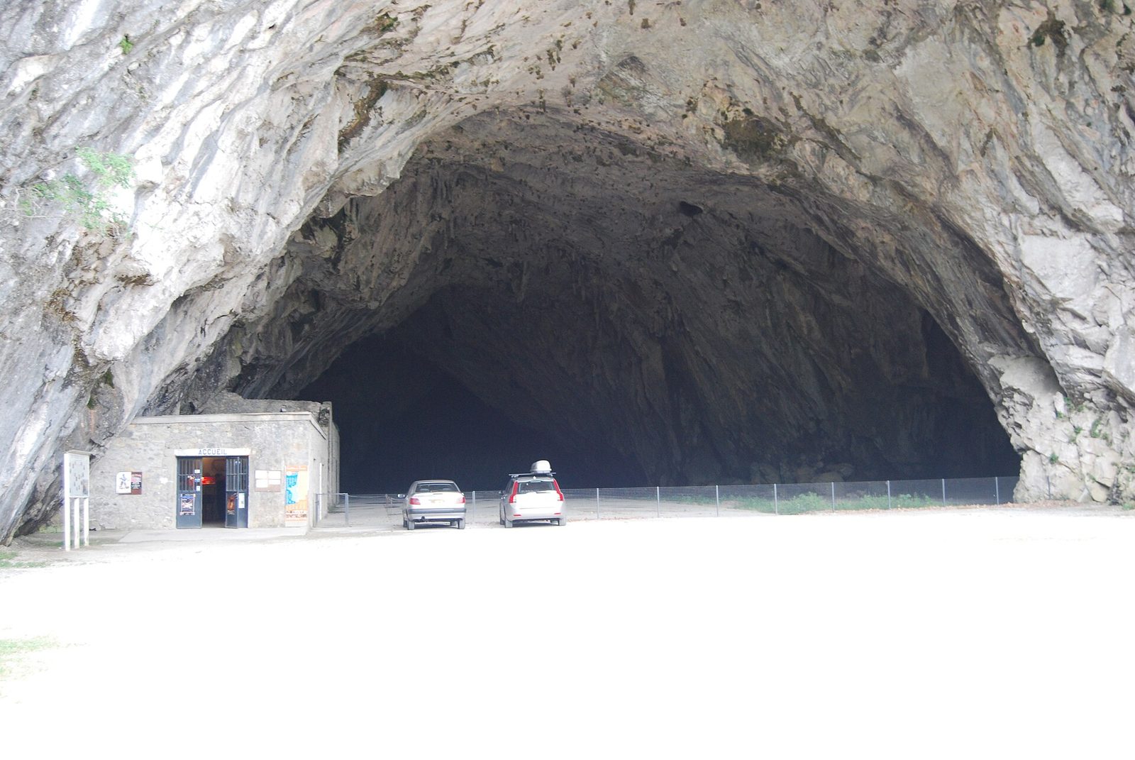
Caves · Ariège
The Bédeilhac cave is in the basin of Tarascon-sur-Ariège, a few kilometres from Niaux and Fontanet.
View full page →
↓ 9.2 km · about 19 min by car to the next stop
Caves · Ariège
The largest cave in the European Community developed for the public, a vast underground world with rich isolated concretions among long galleries of fairy-tale appearance: the mammoth, the tomb of Pyrene, the throne of Bébrix, the hall of a thousand columns...
View full page →
↓ 39.5 km · about 45 min by car to the next stop
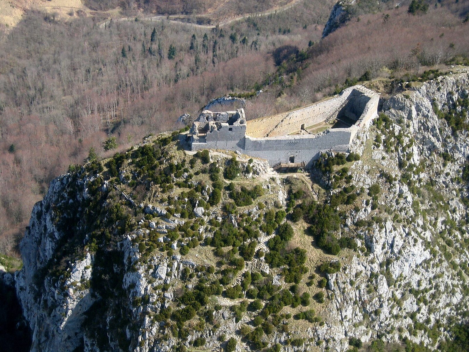
Castles · Ariège
Before setting off to assault the "Pog", the path passes close to the stele erected in 1960 "to the martyrs of pure Christian love".
View full page →
↓ 27.5 km · about 37 min by car to the next stop
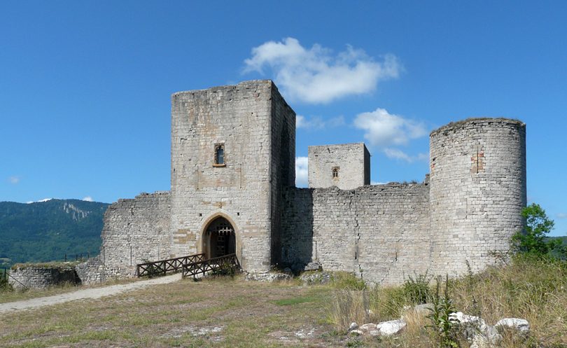
Castles · Aude
At six hundred metres' altitude, on top of the hill overlooking the village to the east, firmly set on its "pech" in the middle of a vast cirque crowned with firs, the feudal castle of Puivert (Puyvert – Puy-Verd) outlines its proud keep and dismantled walls.
View full page →
Day 3 — Torrent de la Têt to Château de Puilaurens
This day brings together 3 sites close to each other: natural wonders, caves and castles. Allow half an hour to an hour and a half per site, plus travel time.
Driving for the day: about 77.1 km, or 1 h 25 behind the wheel in total (excluding visits).
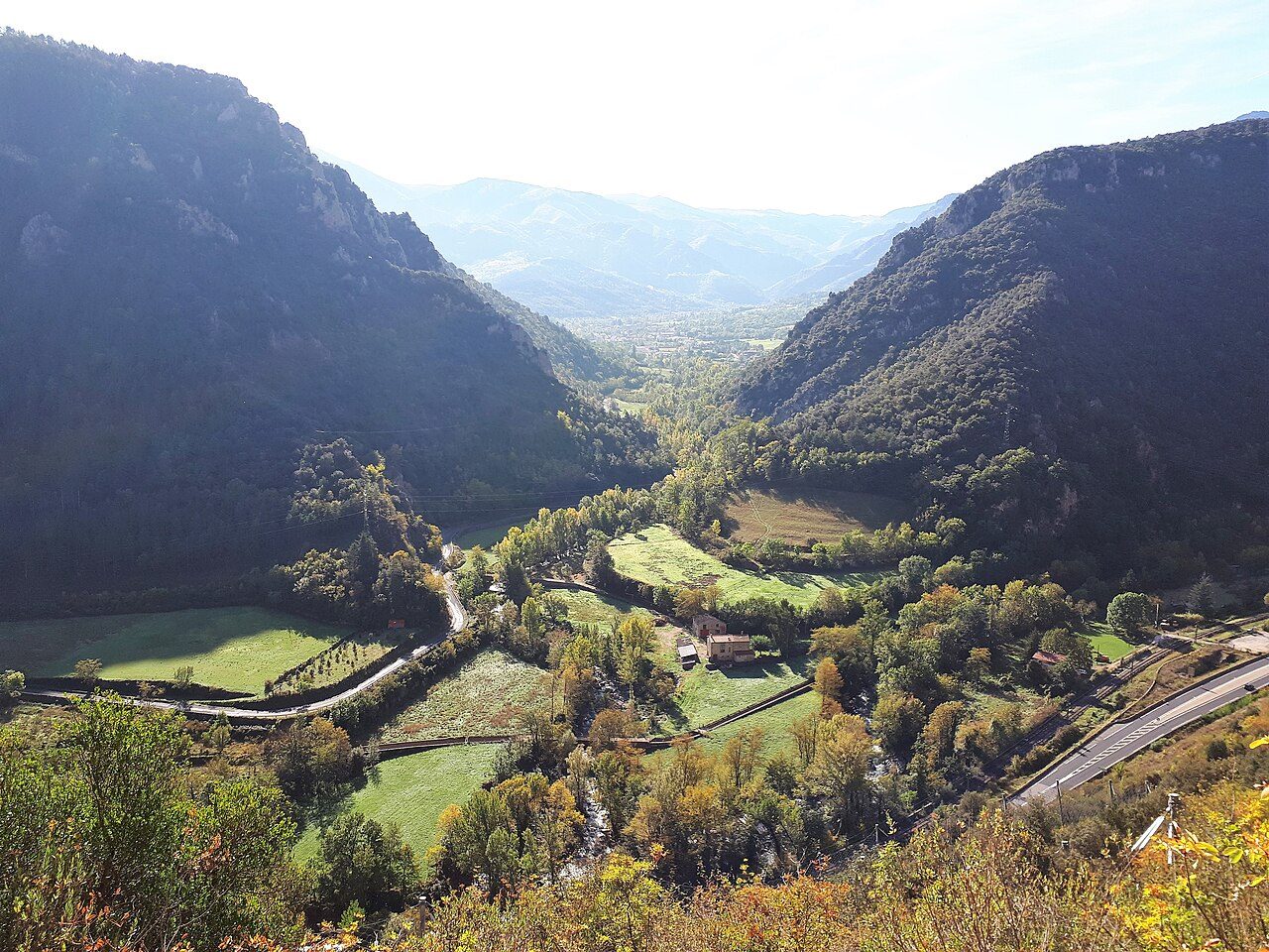
Natural wonders · Pyrénées-Orientales
The Têt rises in the Carlit massif, near Lac des Bouillouses, and runs about a hundred kilometres from west to east to its mouth in the Mediterranean, north of Canet-en-Roussillon.
View full page →
↓ 27.3 km · about 34 min by car to the next stop

Caves · Pyrénées-Orientales
The Fontrabiouse cave, in the Pyrénées-Orientales, is equipped for guided visits all year round on a route of about an hour.
View full page →
↓ 49.8 km · about 50 min by car to the next stop
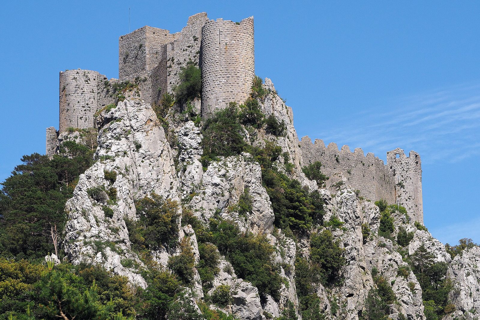
Castles · Aude
On the departmental boundary of the Aude and the Pyrénées-Orientales, Puilaurens long remained the southernmost fortress of the kingdom of France.
View full page →
Day 4 — Pic du Canigou to Collioure
This day brings together 4 sites close to each other: natural wonders, castles and villages. It passes through Vernet-les-Bains and Collioure. Allow half an hour to an hour and a half per site, plus travel time.
Driving for the day: about 160.0 km, or 3 h 03 behind the wheel in total (excluding visits).
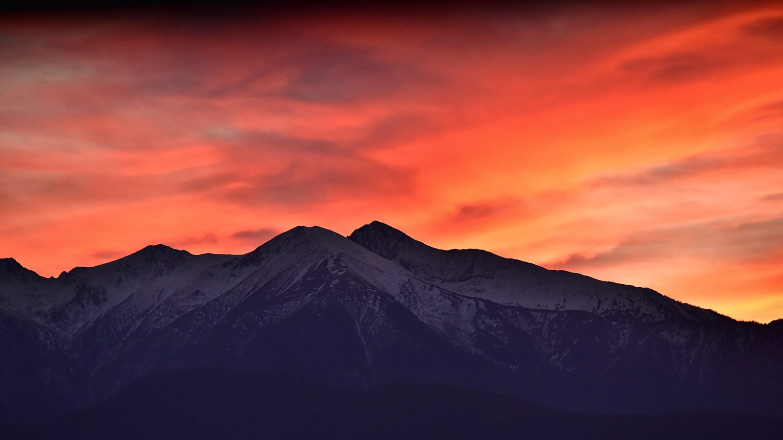
Natural wonders · Vernet-les-Bains
At 2,785 metres, the emblematic summit of the Catalans, the easternmost high point of the Pyrenees, visible from the Mediterranean in clear weather.
View full page →
↓ 34.4 km · about 40 min by car to the next stop
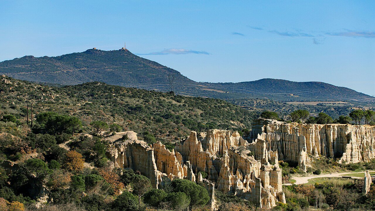
Natural wonders · Pyrénées-Orientales
"Les Orgues" are strange rock formations eroded by time and shaped like chimneys.
View full page →
↓ 46.1 km · about 59 min by car to the next stop
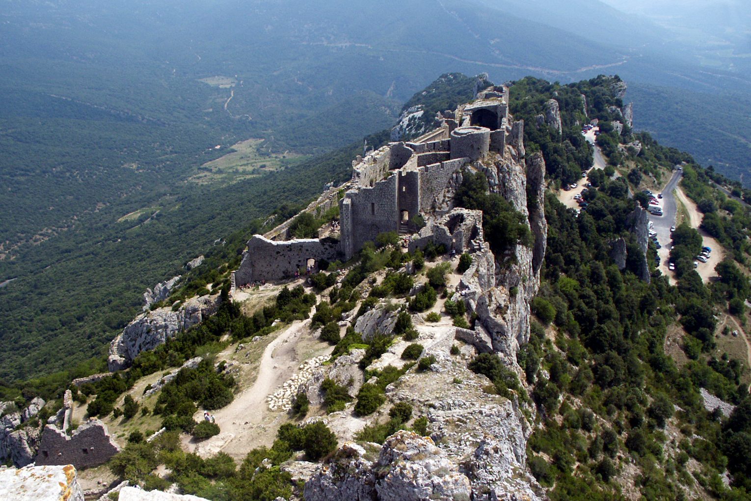
Castles · Aude
"It is to be known that in the Marches, on this side of the Aragon frontier, is the City of Carcassonne, which is the mother and has five sons, namely Puilaurens, Aguilar, Quéribus, Termes and Peyrepertuse".
View full page →
↓ 79.6 km · about 1 h 24 by car to the next stop
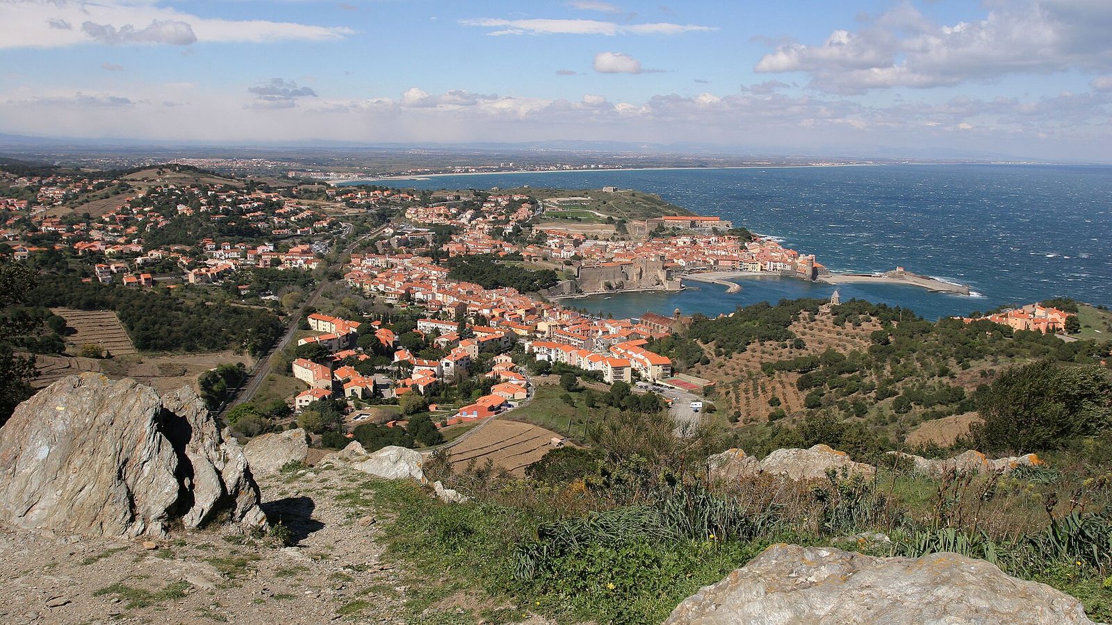
Villages · Collioure
A little Catalan port of colourful houses nestled in a cove of the Vermilion Coast, immortalised by Matisse and the Fauvist painters in the early twentieth century.
View full page →
When to go
Spring and autumn are ideal: mild temperatures and beautiful light. Summer is very hot and many fortresses are exposed to the sun. In winter, some sites are closed or hard to reach, and the wind can be strong.
Getting around
A car is essential: the castles are scattered and often at the end of narrow roads. Expect some walking to reach them: several are accessible by steep paths.
Our tips
- Wear good shoes and bring water.
- Avoid the hottest hours in summer.
- Check opening hours before you go.
- Combine castles and breaks in villages to vary the pace.
If you have more time
Villages · Ariège
Saint-Lizier
OccitanieWorth a visit
Set in the Salat valley, St Lizier appears, dominated by the imposing silhouette of the fourteenth-century Bishops' Palace, facing the snow-capped peaks of the Pyrenees.
Castles · Aude
Châteaux de Lastours
OccitanieWorth a visit
A lock on the Cabardès since the early Middle Ages, the Lastours site is an exceptional ensemble with its four castles built at 300 metres' altitude, on top of a rocky spur.
Villages · Aude
Le village et l'Abbaye de Caunes-Minervois
OccitanieWorth a visit
The village houses a heritage of incredible historical richness: around the bend of medieval lanes you discover façades of mansions from the eleventh to the eighteenth century.
Caves · Ariège
Grotte de Niaux
OccitanieWorth a visit
The Niaux cave, universally known, rivals Lascaux for the high quality and excellent conservation of its cave paintings; for nearly 13,000 years the cave has consisted of several moderately concreted galleries with splendid colours.
Villages · Pyrénées-Orientales
Evol
OccitanieWorth a visit
Évol is two kilometres north-west of the town of Olette. It is a typical village that has kept its heritage and architecture.
Castles · Pyrénées-Orientales
Château royal de Collioure
OccitanieWorth a visit
A superb citadel whose foundations plunge into the sea, the château de Collioure was built on the remains of Roman constructions, later transformed in Visigothic times and first cited in 673.
More itineraries