Our day-by-day itinerary
The map shows the numbered stops in visiting order, with one colour per day. The line follows the roads where available; otherwise it joins the stops as the crow flies. Distances and times are approximate (by car, without traffic).
Day 1 — Les Gorges et canyon du Grenand to Aix-les-Bains
This day brings together 4 sites close to each other: waterfalls, lakes and towns and cities. It passes through Aiguebelette-le-Lac, Saint-Jean-d'Arvey and Aix-les-Bains. Allow half an hour to an hour and a half per site, plus travel time.
Driving for the day: about 60.6 km, or 1 h 10 behind the wheel in total (excluding visits).
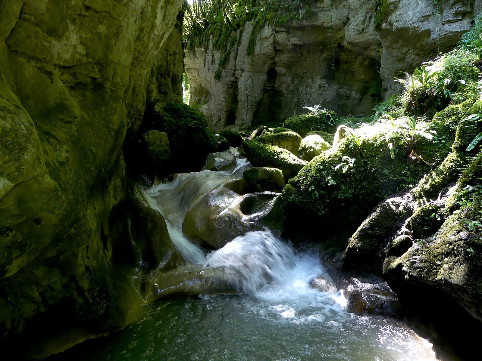
Waterfalls · Savoie
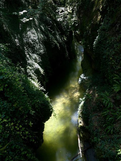
The "La combe du Grenand" path, starting from the commune of La Bridoire, takes you to discover river erosion, to meet gorges, giants' kettles and waterfalls.
View full page →
↓ 6.8 km · about 11 min by car to the next stop
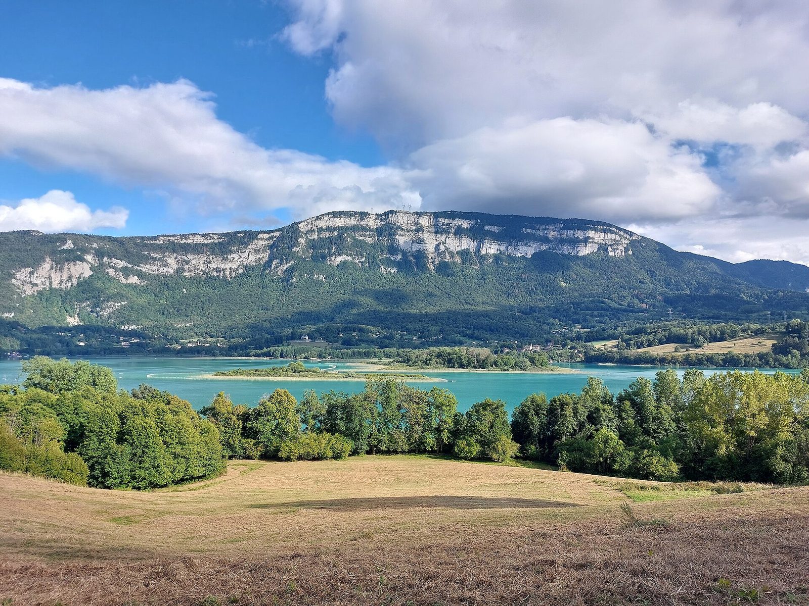
Lakes · Aiguebelette-le-Lac
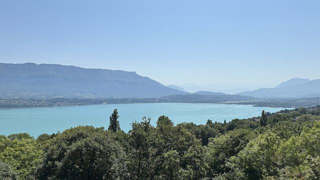
The 3rd largest natural lake in France, with emerald waters, largely private and closed to motor boats, at the foot of the Épine mountain.
View full page →
↓ 26.8 km · about 29 min by car to the next stop
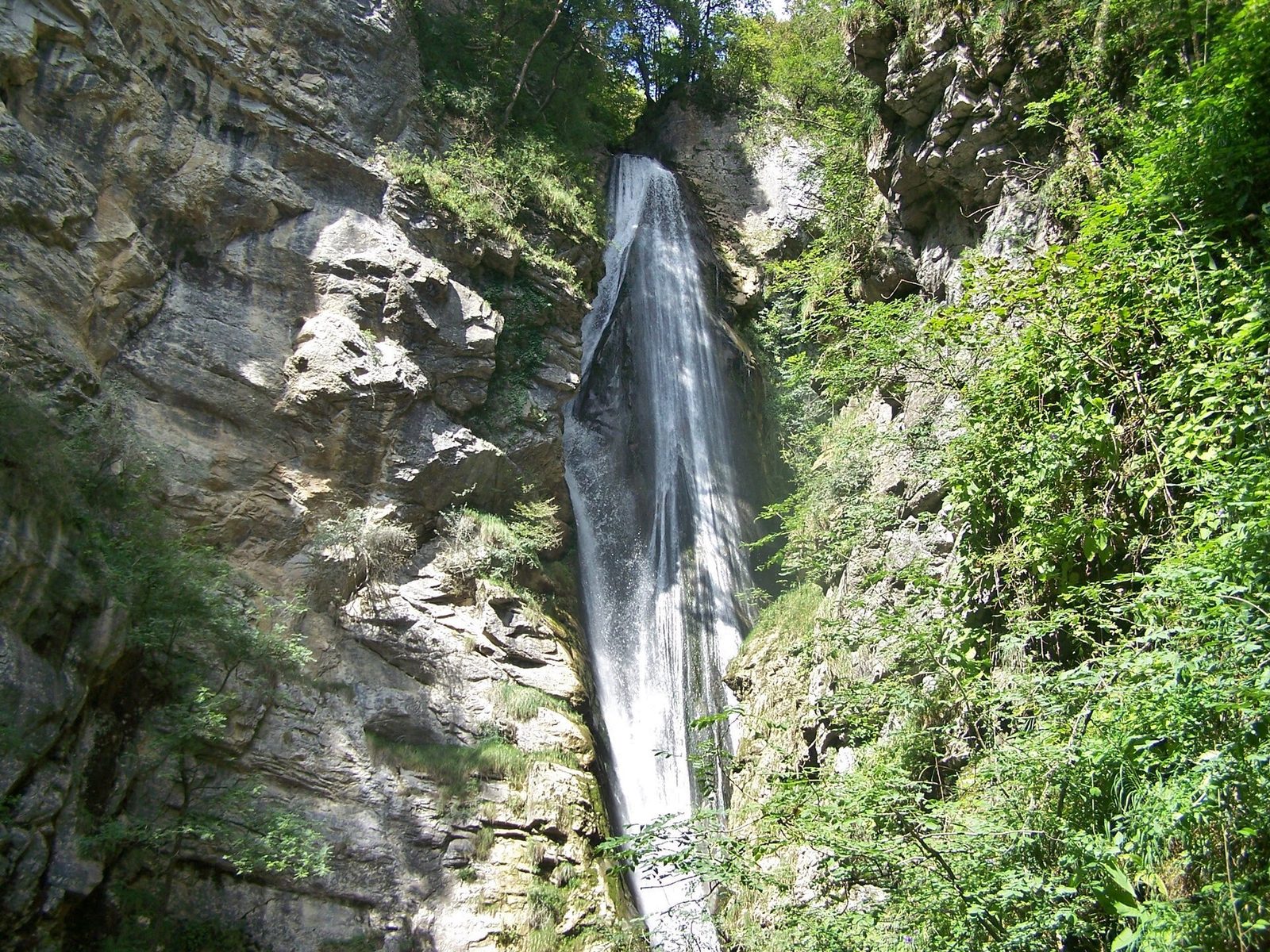
Waterfalls · Saint-Jean-d'Arvey
A stone's throw from Chambéry, the Doria waterfall falls about sixty metres in the heart of the Bauges massif, at the end of a short shaded hike from the Chaffardon car park.
View full page →
↓ 26.9 km · about 30 min by car to the next stop
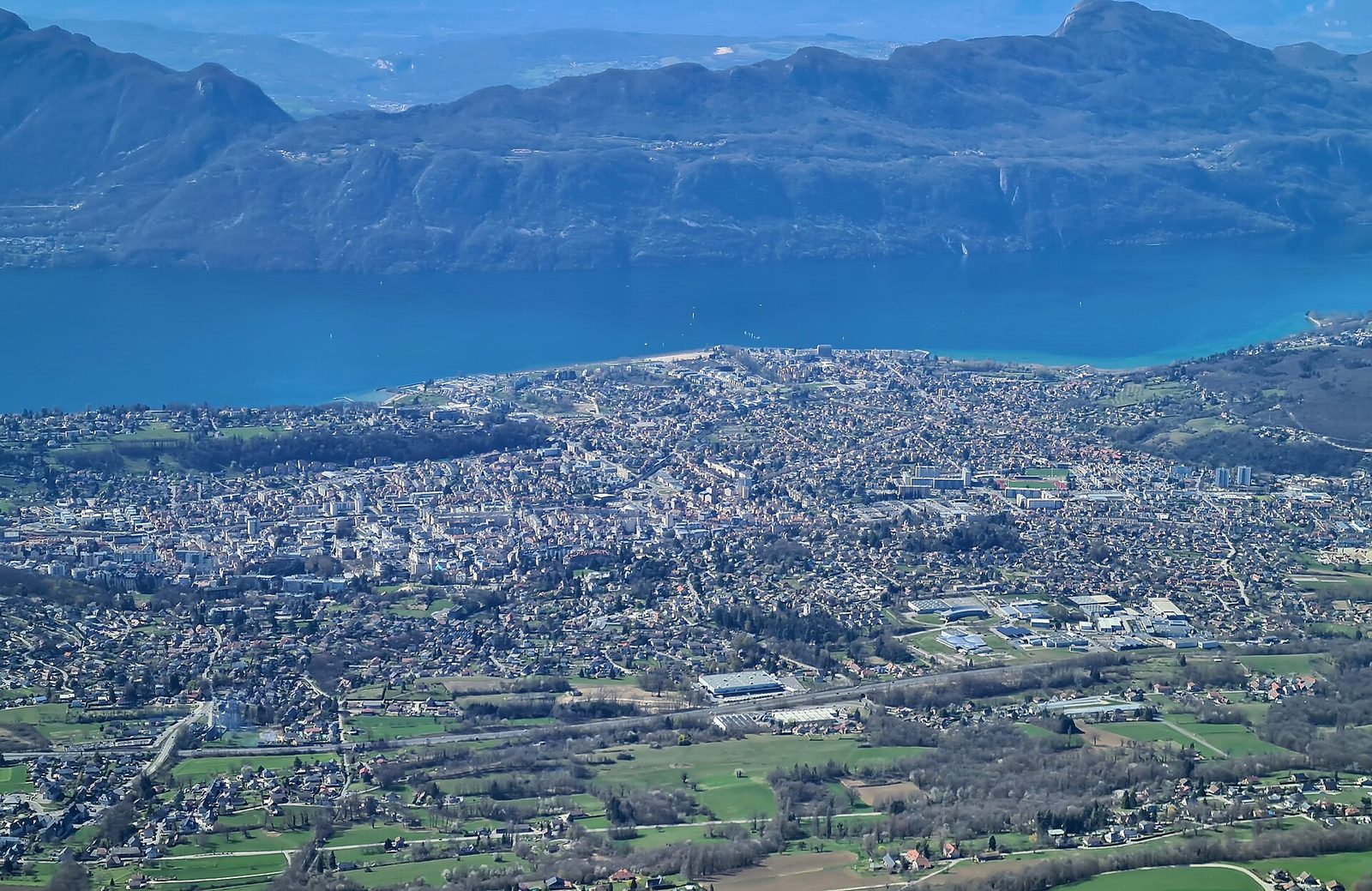
Towns & cities · Aix-les-Bains
A spa town renowned since Roman times, nestled on the shores of Lake Bourget, the largest natural lake in France.
View full page →
Day 2 — Cascade de la Fraiche to Col de l'Iseran
This day brings together 5 sites close to each other: natural wonders, waterfalls and lakes. It passes through Pralognan-la-Vanoise and Val-d'Isère. Allow half an hour to an hour and a half per site, plus travel time.
Driving for the day: about 209.8 km, or 3 h 41 behind the wheel in total (excluding visits).
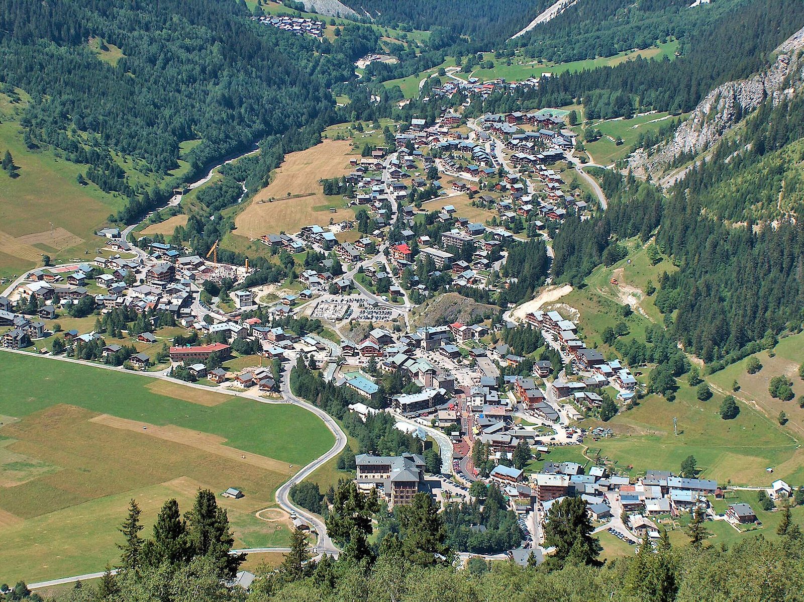
Waterfalls · Savoie
The Fraîche waterfall measures about 80 metres high in total. It is at 1,420 metres' altitude in the commune of Pralognan-la-Vanoise in the Vanoise national park.
View full page →
↓ 4.3 km · about 24 min by car to the next stop
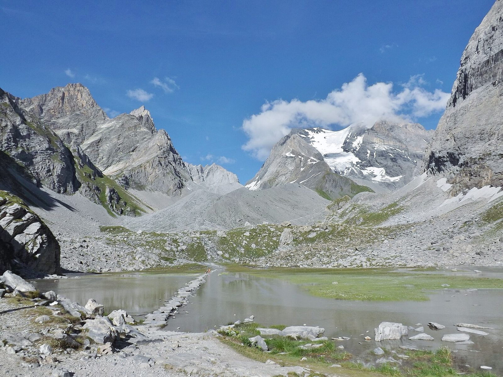
Lakes · Pralognan-la-Vanoise
This mountain lake nestled in the commune of Pralognan-la-Vanoise spreads on a high-altitude shelf of the Vanoise national park. Framed by rocky summits, it is among the favourite stops of hikers using the massif's paths.
View full page →
↓ 158.9 km · about 2 h 28 by car to the next stop
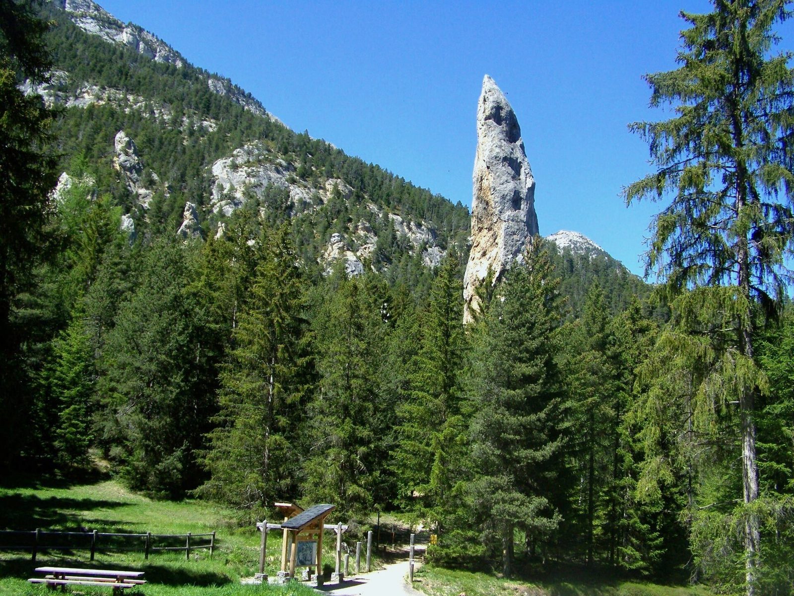
Natural wonders · Savoie
One and a half kilometres after the village of Aussois, leave the departmental road that leads to Sardières to take the direction of the "Monolithe de Sardières".
View full page →
↓ 33.1 km · about 35 min by car to the next stop
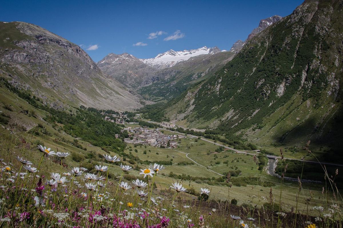
Villages · Savoie
At 1,835 metres' altitude in one of the most beautiful glacial ensembles of the French Alps, Bonneval is the highest commune in Maurienne.
View full page →
↓ 13.4 km · about 14 min by car to the next stop
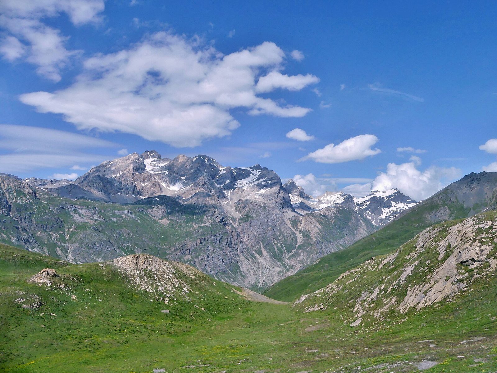
Natural wonders · Val-d'Isère
At 2,764 metres, the highest road pass in the Alps, between Val-d'Isère and Bonneval-sur-Arc, on the legendary Route des Grandes Alpes.
View full page →
Day 3 — Le cirque de Saint-Même to Col du Galibier
This day brings together 3 sites close to each other: natural wonders and waterfalls. It passes through Saint-Sorlin-d'Arves and Valloire. Allow half an hour to an hour and a half per site, plus travel time.
Driving for the day: about 189.4 km, or 2 h 53 behind the wheel in total (excluding visits).
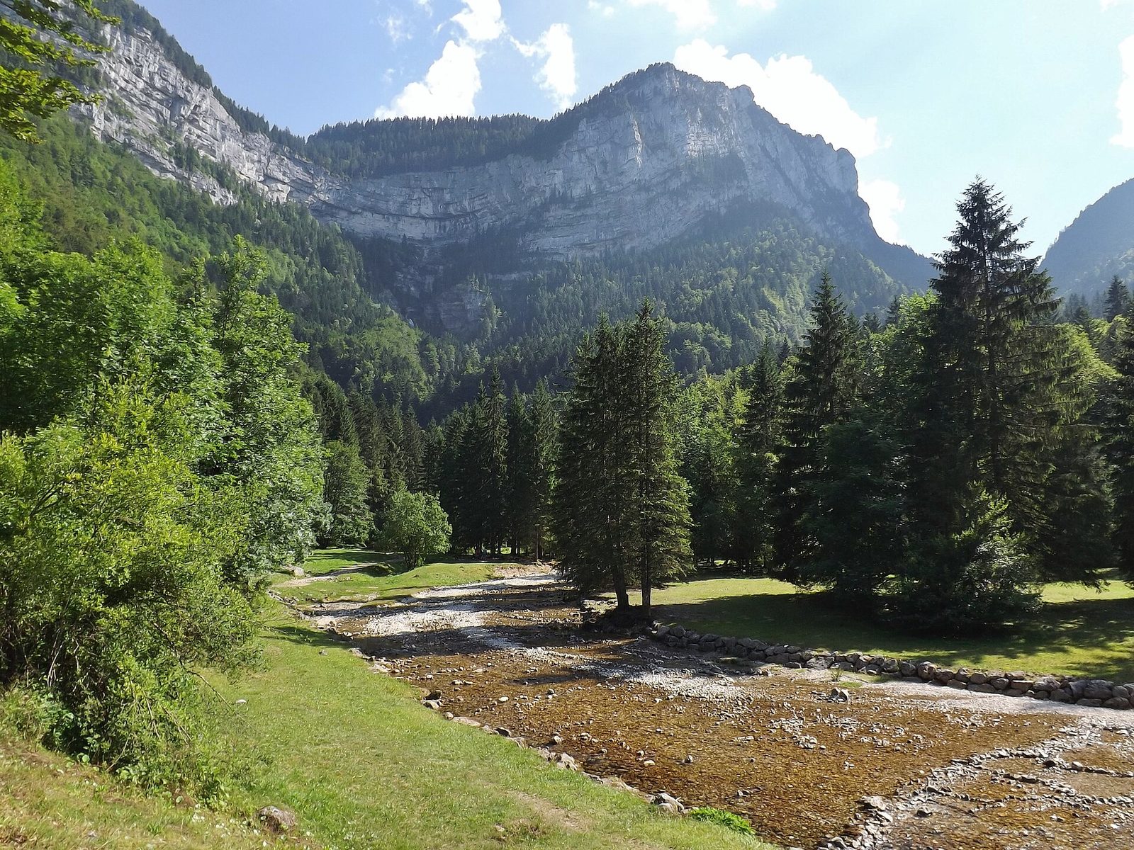
Waterfalls · Savoie
From its source, the Guiers Vif tumbles down a cliff in four successive waterfalls: the first is called "la Cascade de la source", the second "la Grande Cascade", then comes "la Cascade Isolée" and finally at the foot "la Pisse du Guiers".
View full page →
↓ 107.5 km · about 1 h 31 by car to the next stop
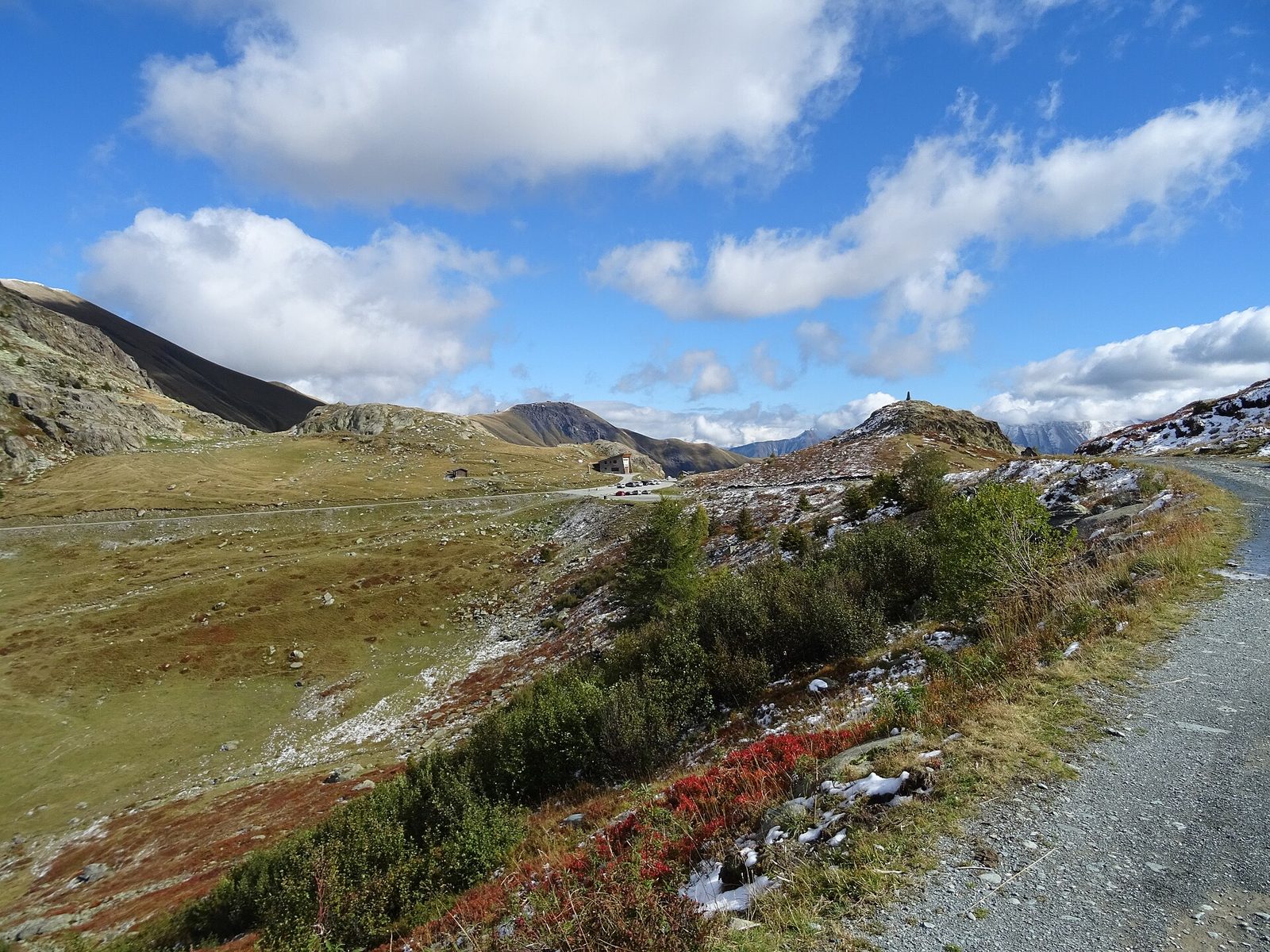
Natural wonders · Saint-Sorlin-d'Arves
At 2,067 metres, a spectacular pass surrounded by the Belledonne, Grandes Rousses and Arves massifs, famous for its iron cross and its neighbour the Col du Glandon.
View full page →
↓ 81.9 km · about 1 h 22 by car to the next stop
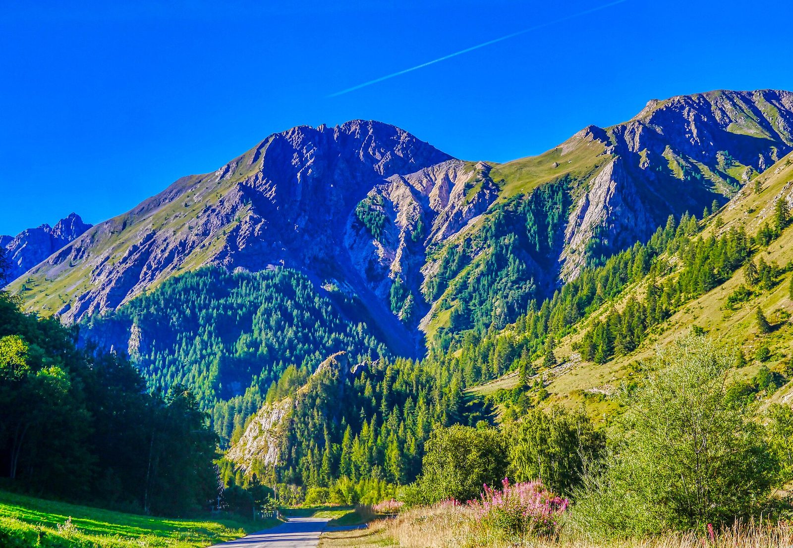
Natural wonders · Valloire
At 2,642 metres, one of the most legendary passes of the Tour de France, between the Maurienne and the Briançonnais, offering a 360° panorama over the glaciers of the Vanoise and the Écrins.
View full page →
When to go
Summer is the best time for the mountains and hiking, from June to September. The lakes can be visited from spring to autumn. In winter, Savoie is one of the biggest ski areas in the world, and many passes are closed.
Getting around
A car is the simplest way to link the valleys, but traffic can be heavy on winter weekends. Trains serve Chambéry, Aix-les-Bains and the main valleys. Check that the passes are open before you go.
Our tips
- Check the mountain weather before every hike.
- Start early in summer to avoid afternoon storms.
- Pack warm clothes, even in summer, at altitude.
- Book cable cars and accommodation in advance in high season.
If you have more time
Natural wonders · Savoie
Col de la Vanoise
Auvergne-Rhône-Alpes
At 2,517 metres' altitude, this high-mountain pass links the Tarentaise and Maurienne valleys in the heart of the Vanoise national park. A legendary stage of the Tour des Glaciers de la Vanoise, it offers a striking panorama over the surrounding summits.
Waterfalls · Savoie
Gorges et cascade du Sierroz
Auvergne-Rhône-AlpesWorth a visit
The surroundings of Aix-les-Bains, blessed by nature and patiently enhanced by people, offer wide potential.
Natural wonders · Savoie
Parc naturel régional du Massif des Bauges
Auvergne-Rhône-AlpesWorth a visit
The Massif des Bauges Regional Nature Park was created on 7 December 1995. It groups 65 communes of which 46 in Savoie and 19 in Haute-Savoie, plus 6 gateway towns.
Lakes · Savoie
Le Lac du Bourget
Auvergne-Rhône-AlpesWorth a visit
Lac du Bourget is the largest natural lake in France, 18 km long, surrounded by the Épine massif, La Chambotte, the Mont du Chat, Mont Revard and the Bauges.
Caves · Savoie
Grottes de Saint Christophe
Auvergne-Rhône-AlpesWorth a visit
A cave sculpted by glacial waters, where vast halls follow one another, riddled with giants' kettles.
Waterfalls · Savoie
La cascade Saint Benoit
Auvergne-Rhône-AlpesWorth a visit
The Saint-Benoît waterfall is in the commune of Avrieux, in the Maurienne Valley, in the heart of Savoie and the Alps.
More itineraries