Photo : Zairon / Wikimedia Commons (CC BY-SA 4.0)
Col du Galibier
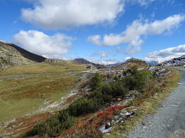
The Col du Galibier reaches 2,642 metres' altitude, between Savoie to the north and Hautes-Alpes to the south. It marks the traditional boundary between the Northern and Southern French Alps. It is linked on the north side to Valloire and on the south side to the Col du Lautaret.
It was first climbed by the Tour de France on 10 July 1911, when the rider Émile Georget crossed it without putting a foot down. Since 1947, it has been the Alpine pass most often used by the race, which has crossed it 65 times. On the south side, a monument pays tribute to Henri Desgrange, the founder of the Tour, and the Souvenir Henri Desgrange prize rewards the first rider over the summit.
A tunnel runs about 100 metres below the summit road. It lets vehicles cross, with alternating traffic controlled by lights, while the pass itself is used by cyclists. The climb from Valloire is 18.1 kilometres at an average gradient of 6.8%; from the Lautaret it is 8.65 kilometres at about 6.75%. The road is closed from mid-October to late May: ask before you set off.