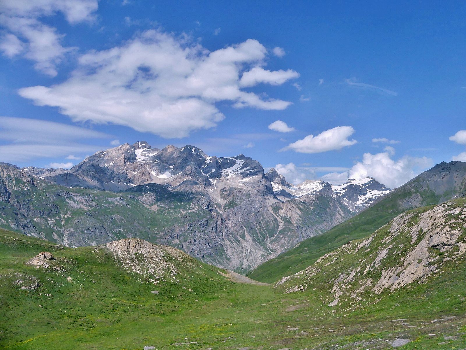
Natural wonders · Val-d'Isère
1 Col de l'Iseran
At 2,764 metres, the highest road pass in the Alps, between Val-d'Isère and Bonneval-sur-Arc, on the legendary Route des Grandes Alpes.
View full page →From the great Tour de France passes to the highest roads in Europe, this circuit links from north to south some of the most beautiful passes of the French Alps.
The map shows the numbered stops in visiting order, with one colour per day. The line follows the roads where available; otherwise it joins the stops as the crow flies. Distances and times are approximate (by car, without traffic).
The Col de l'Iseran, the highest road pass in the Alps, from the Haute-Tarentaise.
At 2,764 metres, the highest road pass in the Alps, between Val-d'Isère and Bonneval-sur-Arc, on the legendary Route des Grandes Alpes.
View full page →The Col de la Croix de Fer, above the Maurienne.
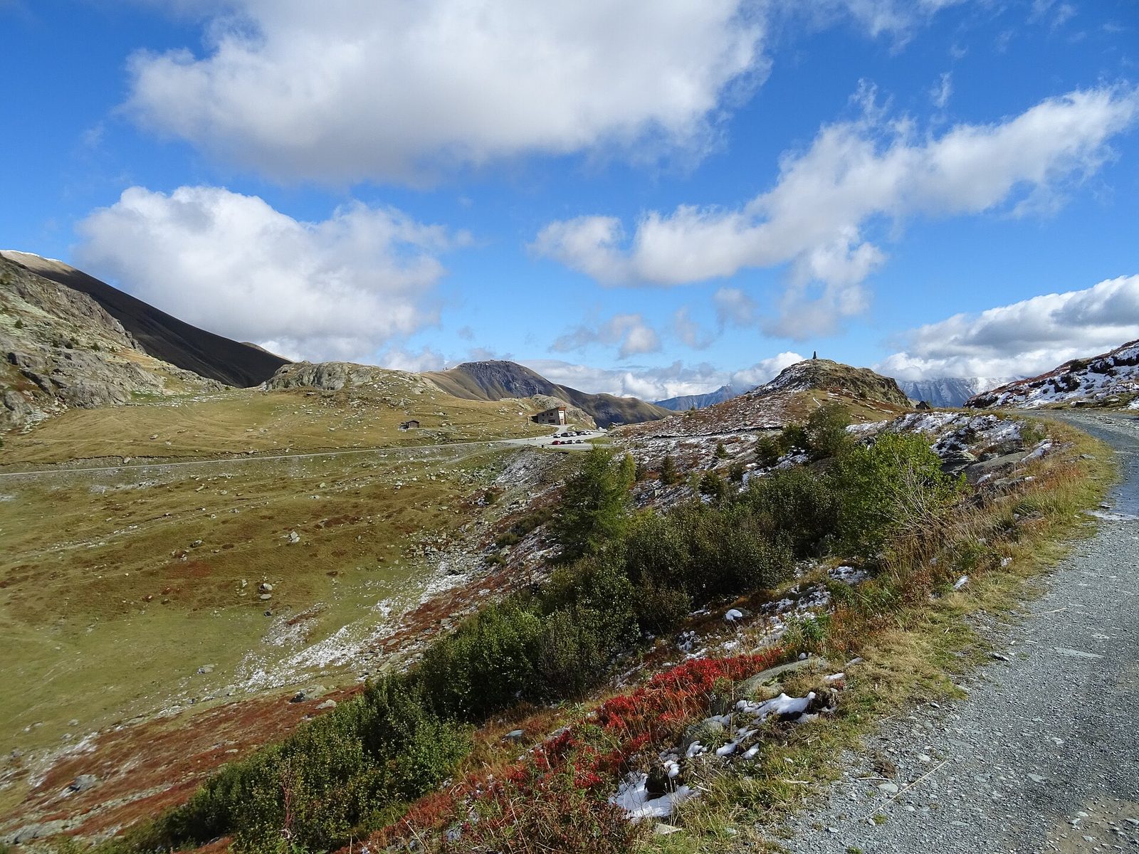
At 2,067 metres, a spectacular pass surrounded by the Belledonne, Grandes Rousses and Arves massifs, famous for its iron cross and its neighbour the Col du Glandon.
View full page →The Col du Galibier, then the Col du Lautaret and its alpine garden.
Driving for the day: about 8.8 km, or 10 min behind the wheel in total (excluding visits).
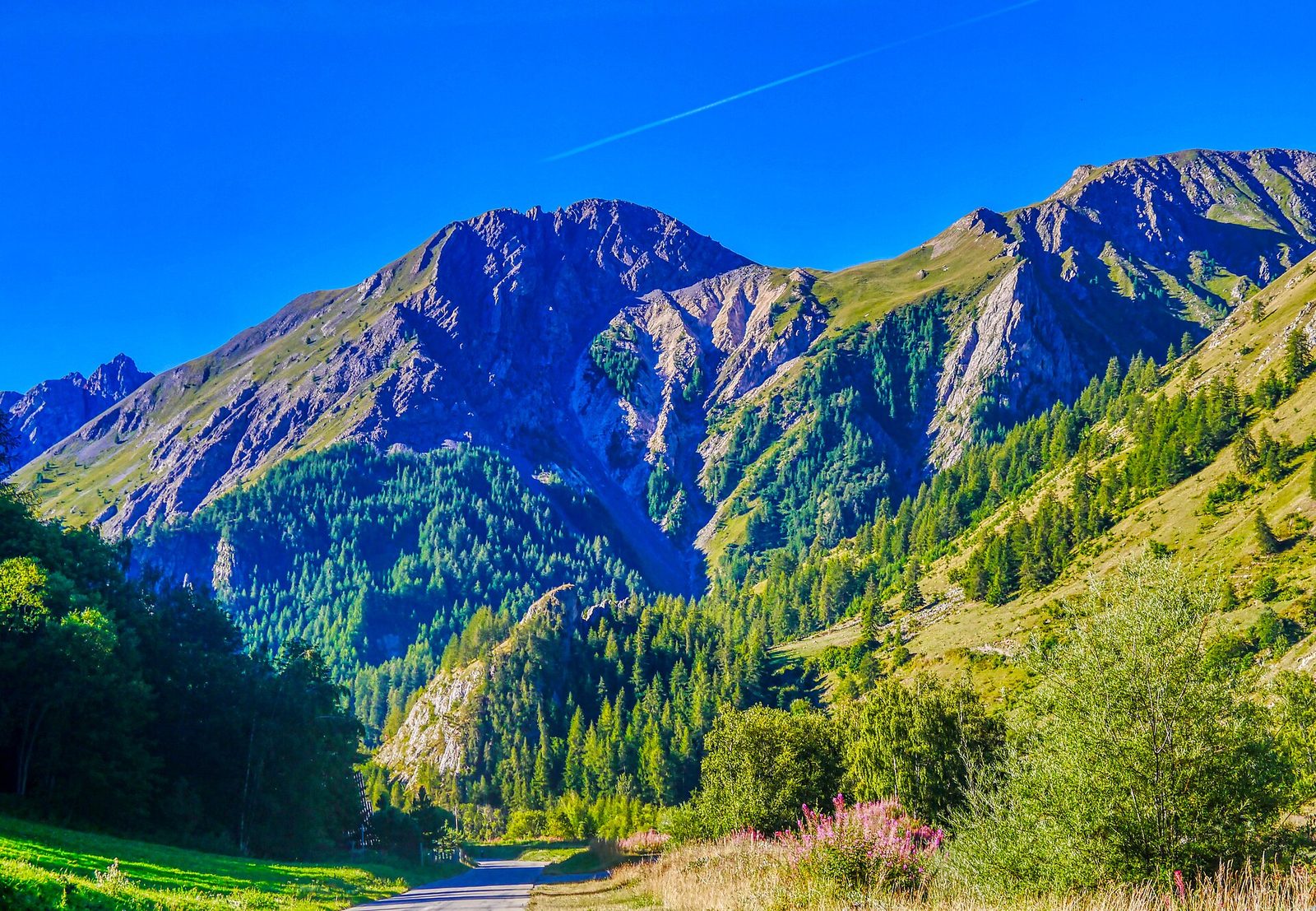
At 2,642 metres, one of the most legendary passes of the Tour de France, between the Maurienne and the Briançonnais, offering a 360° panorama over the glaciers of the Vanoise and the Écrins.
View full page →↓ 8.8 km · about 10 min by car to the next stop
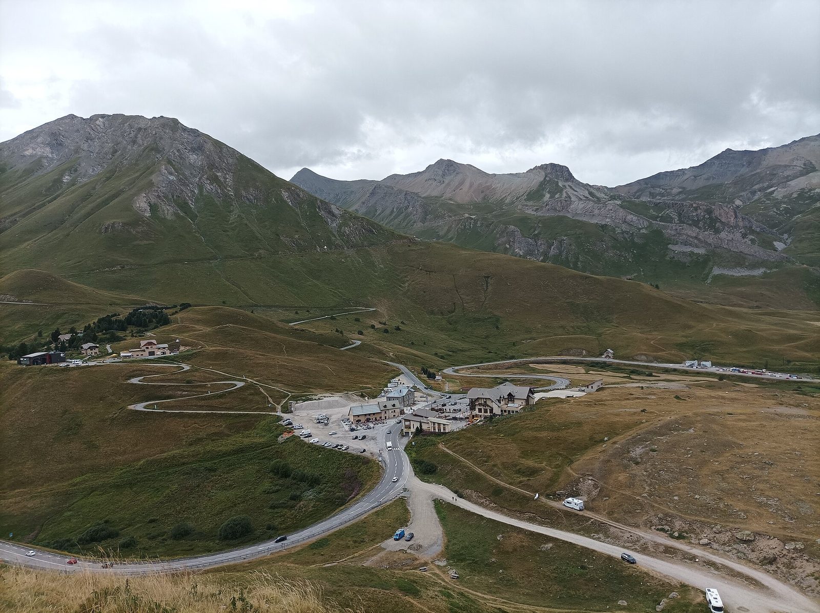
At 2,057 metres, an Alpine crossroads between the Oisans and the Briançonnais, famous for its alpine botanical garden and its junction with the Galibier road.
View full page →The Col d'Izoard and its Casse Déserte landscapes, then the Bonette road, one of the highest in Europe.
Driving for the day: about 93.7 km, or 1 h 53 behind the wheel in total (excluding visits).
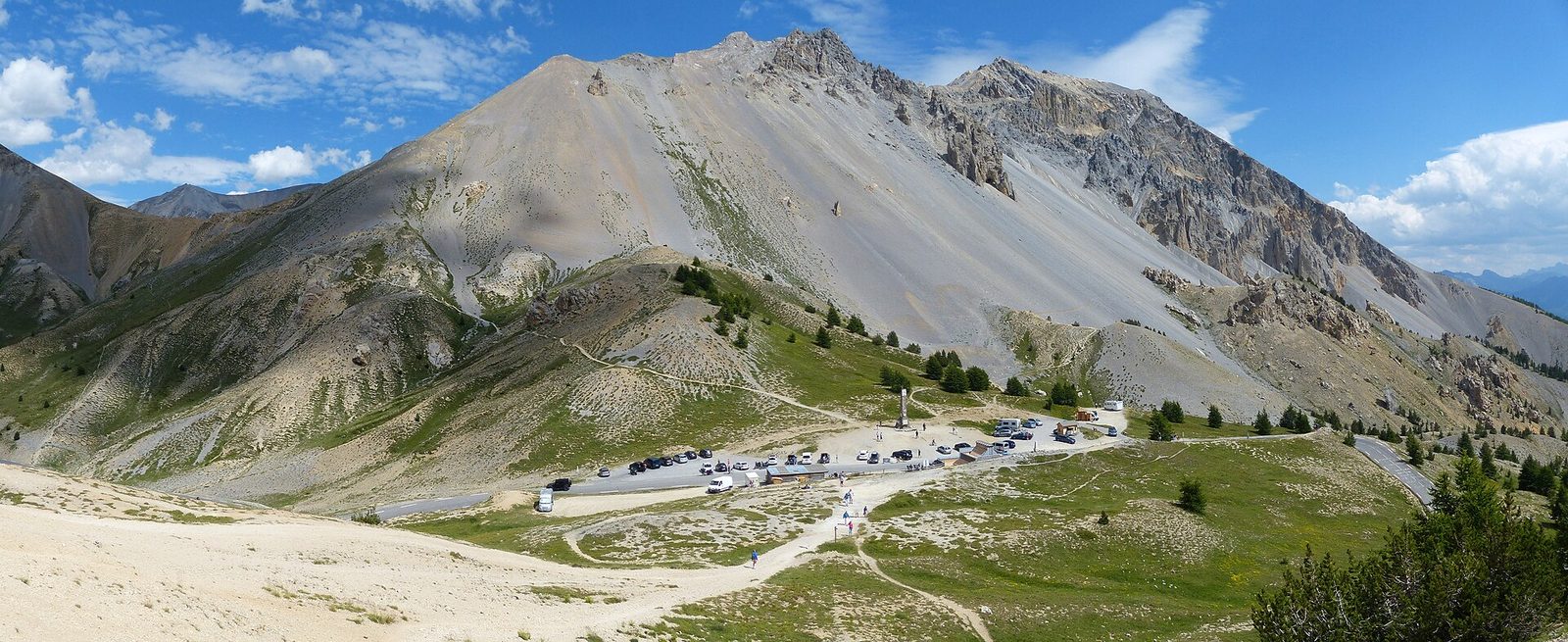
Crossed at 2,362 metres between the Briançonnais and the Queyras, the Col d'Izoard is one of the legendary giants of the Tour de France, famous for its lunar setting of the Casse Déserte.
View full page →↓ 93.7 km · about 1 h 53 by car to the next stop
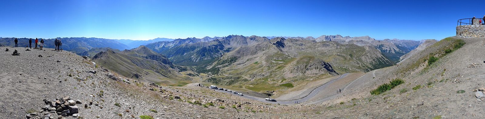
The road that goes round its summit, the Cime de la Bonette, reaches 2,802 metres: one of the highest paved roads in Europe, in the heart of the Mercantour.
View full page →Sites are numbered in the recommended order. These roads are closed in winter, sometimes until June: check that they are open before you go, and keep some slack for weather at altitude.