Photo : Florian Pépellin / Wikimedia Commons (CC BY-SA 4.0)
Col de l'Iseran
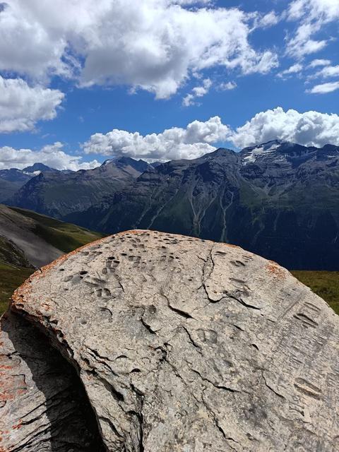
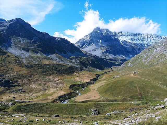
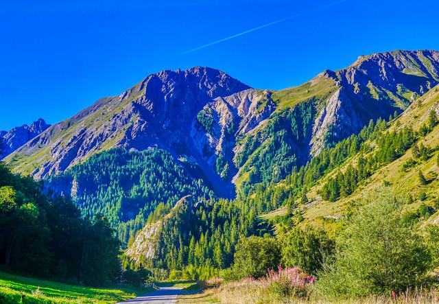
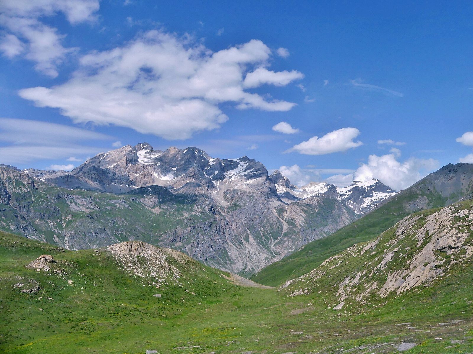
The Col de l'Iseran is located at 2,764 metres' altitude, in Savoie, between the Tarentaise and the Maurienne. It is the highest pass road in the Alps. It links the Val-d'Isère area, to the north, to Bonneval-sur-Arc, to the south.
The passage was originally a mule track, used in the seventeenth century to transport Beaufortain cheese. It was integrated into the Route des Grandes Alpes in 1912, and the modern road was inaugurated by President Albert Lebrun on 10 July 1937.
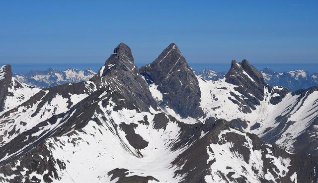
Road access is closed from October to May because of snow. In winter, the pass is part of the Val-d'Isère ski area.
The Tour de France passed there for the first time in 1938 and has used it eight times since, with an hors catégorie classification since 1992. The northern climb, from Bourg-Saint-Maurice, runs for 47.6 kilometres, the longest pass climb in France. The south face, from Bonneval-sur-Arc, is shorter (13.4 kilometres) but steeper. At the top, the view looks over a high-mountain landscape. Opening dates vary every year with snow cover: it is best to check them before you go.