Natural wonders · Hautes-Alpes
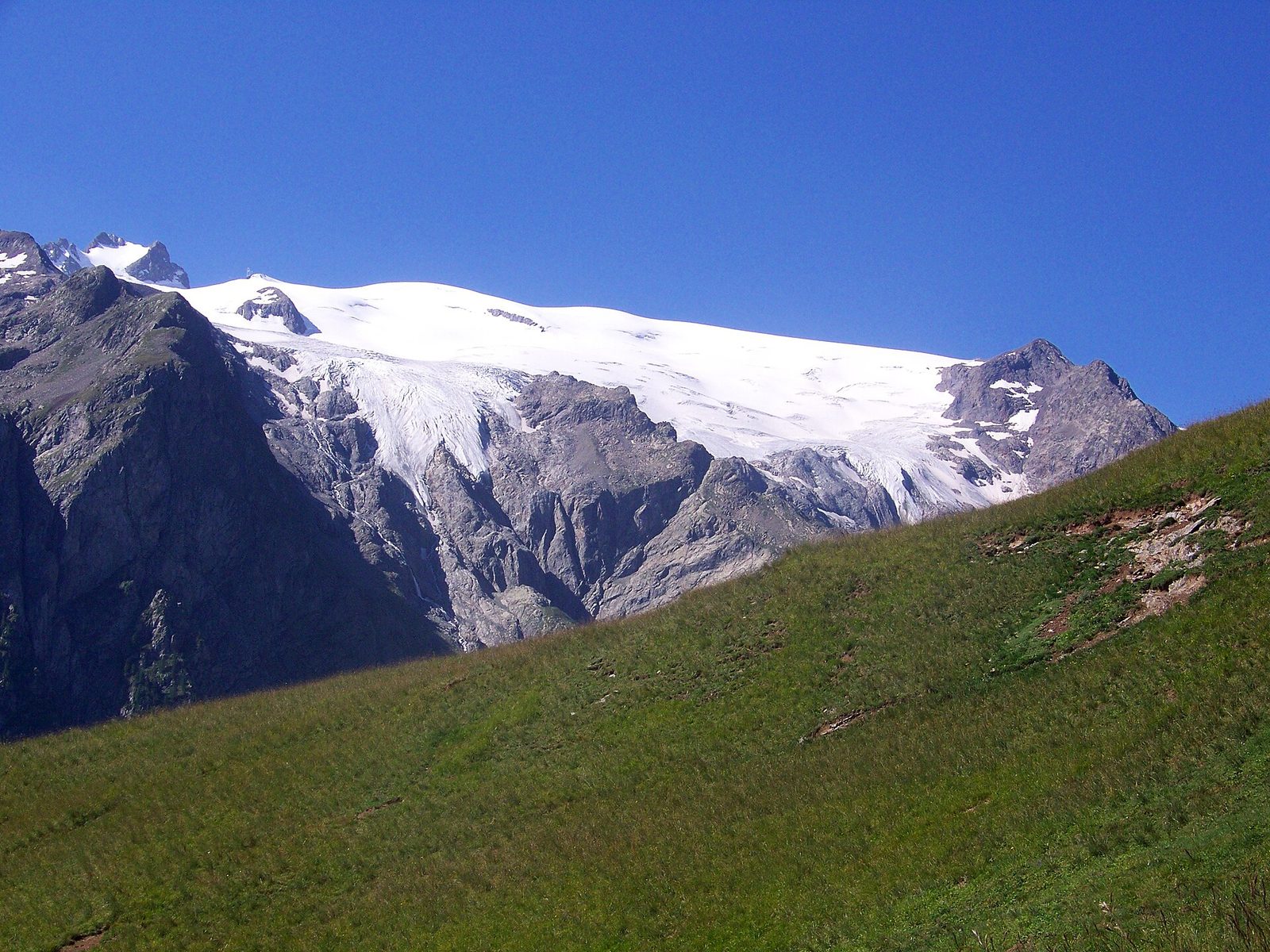
1 glacier de la Girose
La Grave (1,526 m) is a small resort village of about 460 inhabitants between Grenoble and Briançon at the foot of the Col du Lautaret.
View full page →The Hautes-Alpes combine Lake Serre-Ponçon, the Queyras, the Embrunais, the Briançonnais and the Écrins massif. It is a département of high mountains and wide open spaces, with exceptional sunshine.
This itinerary spreads the best-rated sites in the catalogue over three days.
The map shows the numbered stops in visiting order, with one colour per day. The line follows the roads where available; otherwise it joins the stops as the crow flies. Distances and times are approximate (by car, without traffic).
This day brings together 3 sites close to each other: natural wonders, villages and lakes. Allow half an hour to an hour and a half per site, plus travel time.
Driving for the day: about 11.9 km, or 23 min behind the wheel in total (excluding visits).
La Grave (1,526 m) is a small resort village of about 460 inhabitants between Grenoble and Briançon at the foot of the Col du Lautaret.
View full page →↓ 5.2 km · about 11 min by car to the next stop
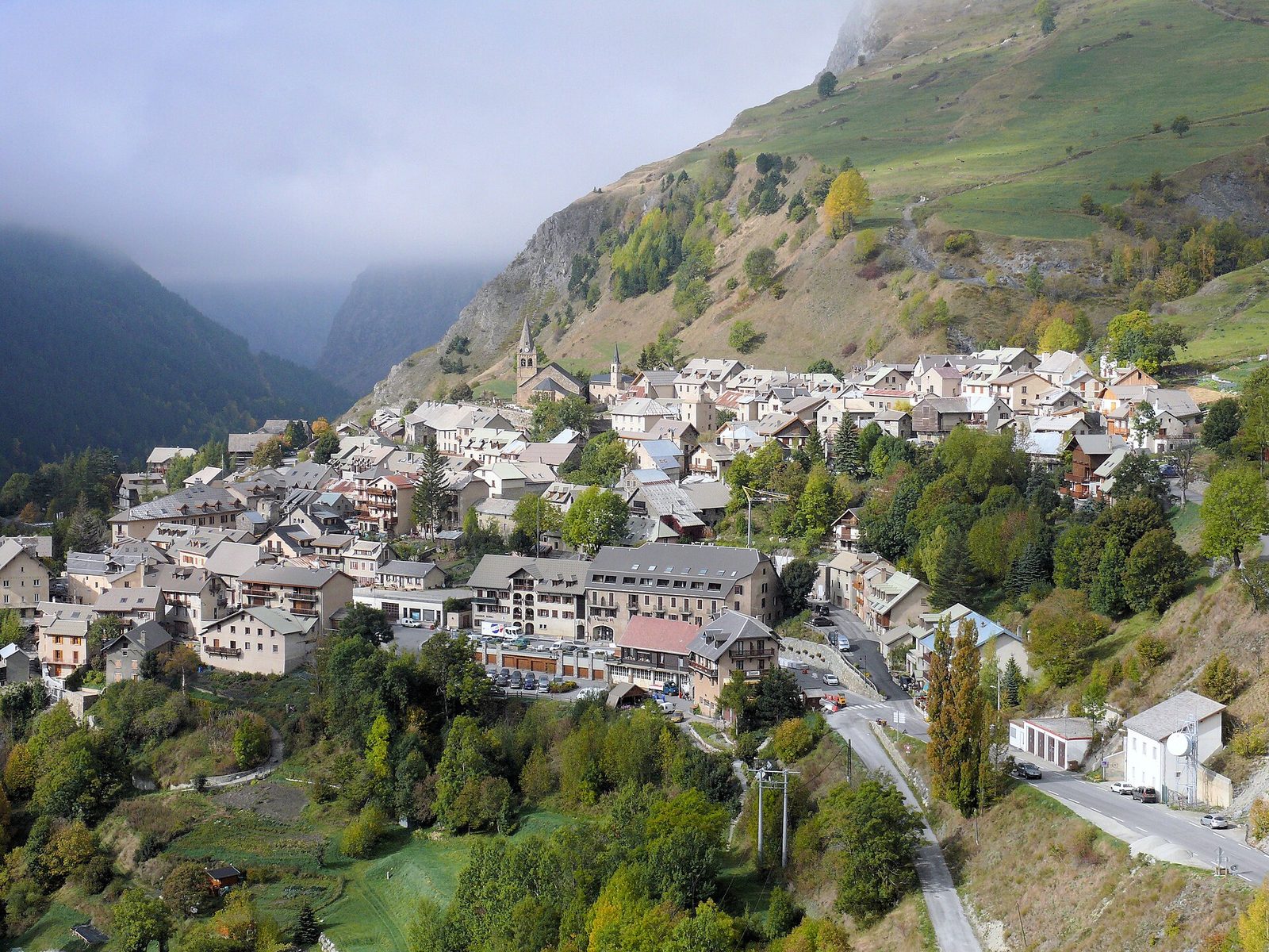
In the upper part of the village, narrow lanes are lined with sturdy stone houses.
View full page →↓ 6.7 km · about 12 min by car to the next stop
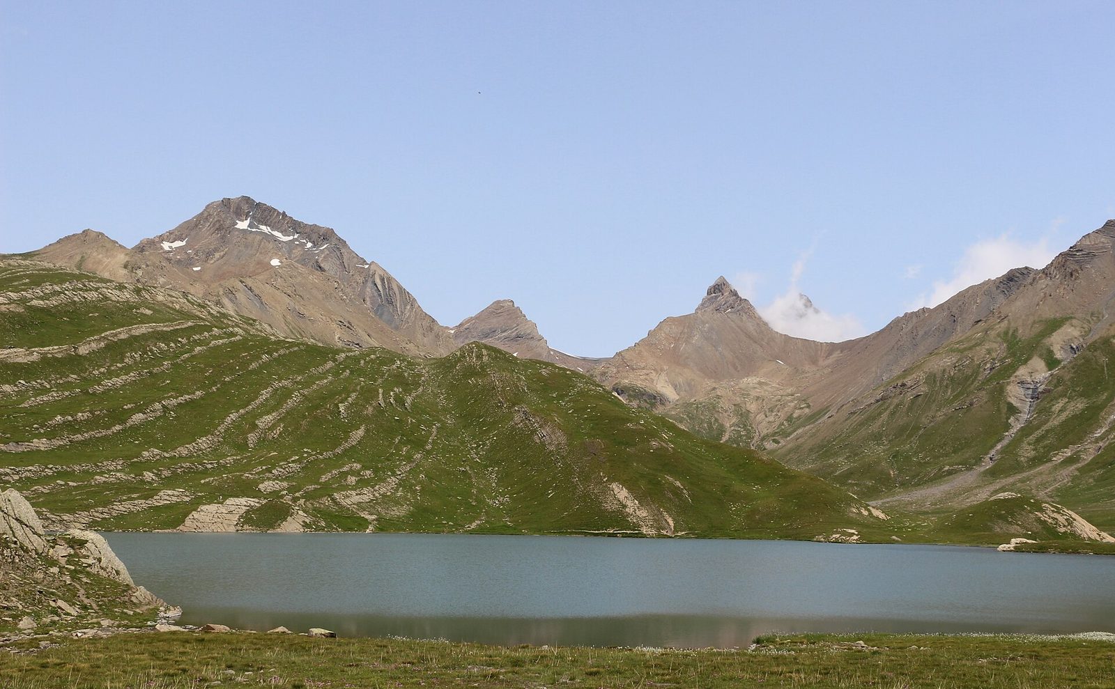
At 2,458 metres' altitude facing La Meije, Lac du Goléon is a glacial lake with turquoise water, reached by a sporty hike from Valfroide.
View full page →This day brings together 4 sites close to each other: natural wonders, waterfalls and lakes. Allow half an hour to an hour and a half per site, plus travel time.

On the edge of Savoie, the upper Névache valley, dotted with fish-filled mountain lakes (Lac Long, Lac Rond, Lac du Serpent, Lac Laramon) is the favourite ground of hikers and cross-country skiers.
View full page →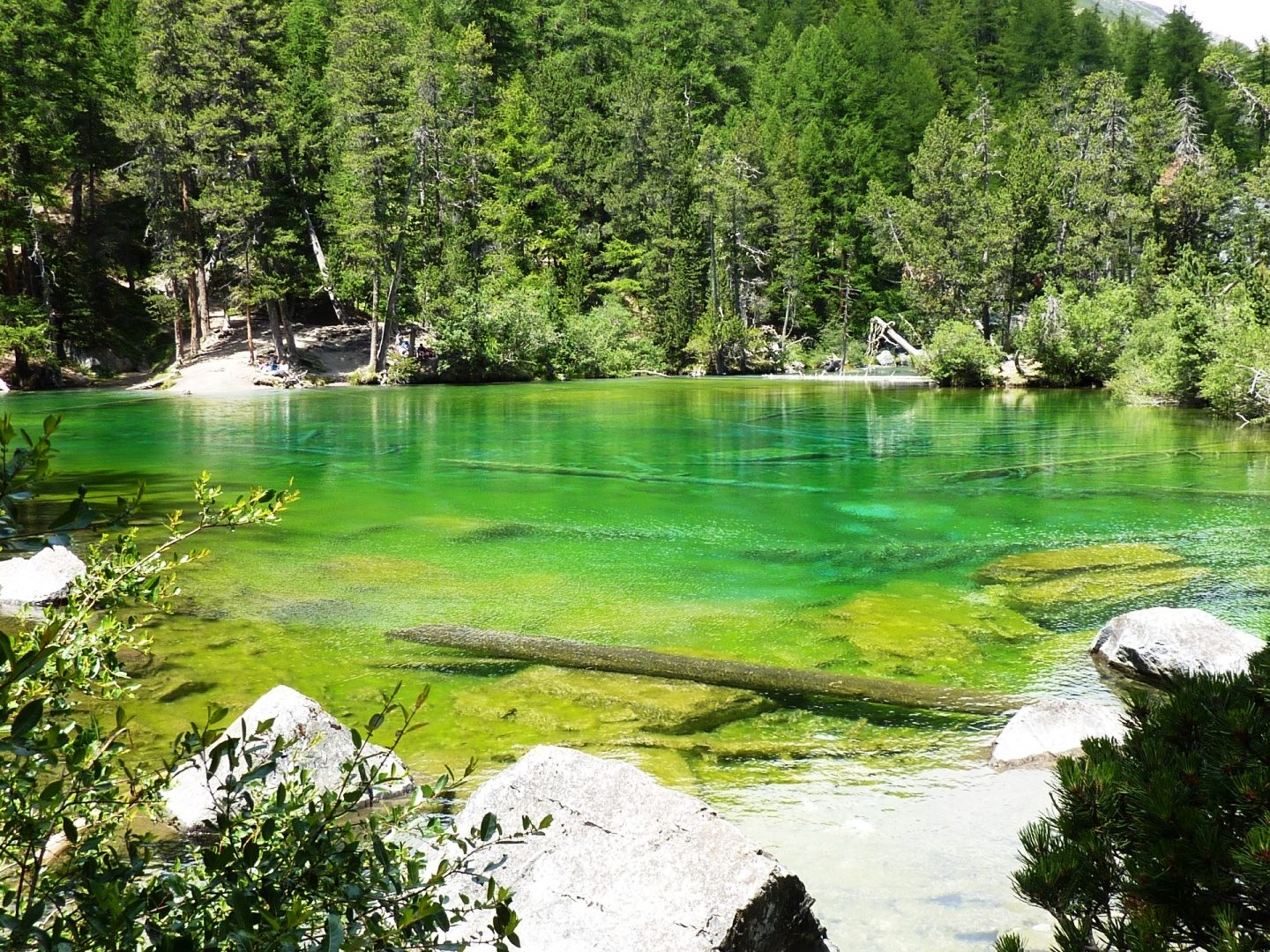
Nestled at 1,834 metres' altitude in the Vallée Étroite, Lac Vert (Lago Verde) owes its intense emerald colour to the algae covering its shallow bed, with no apparent inflow or outflow.
View full page →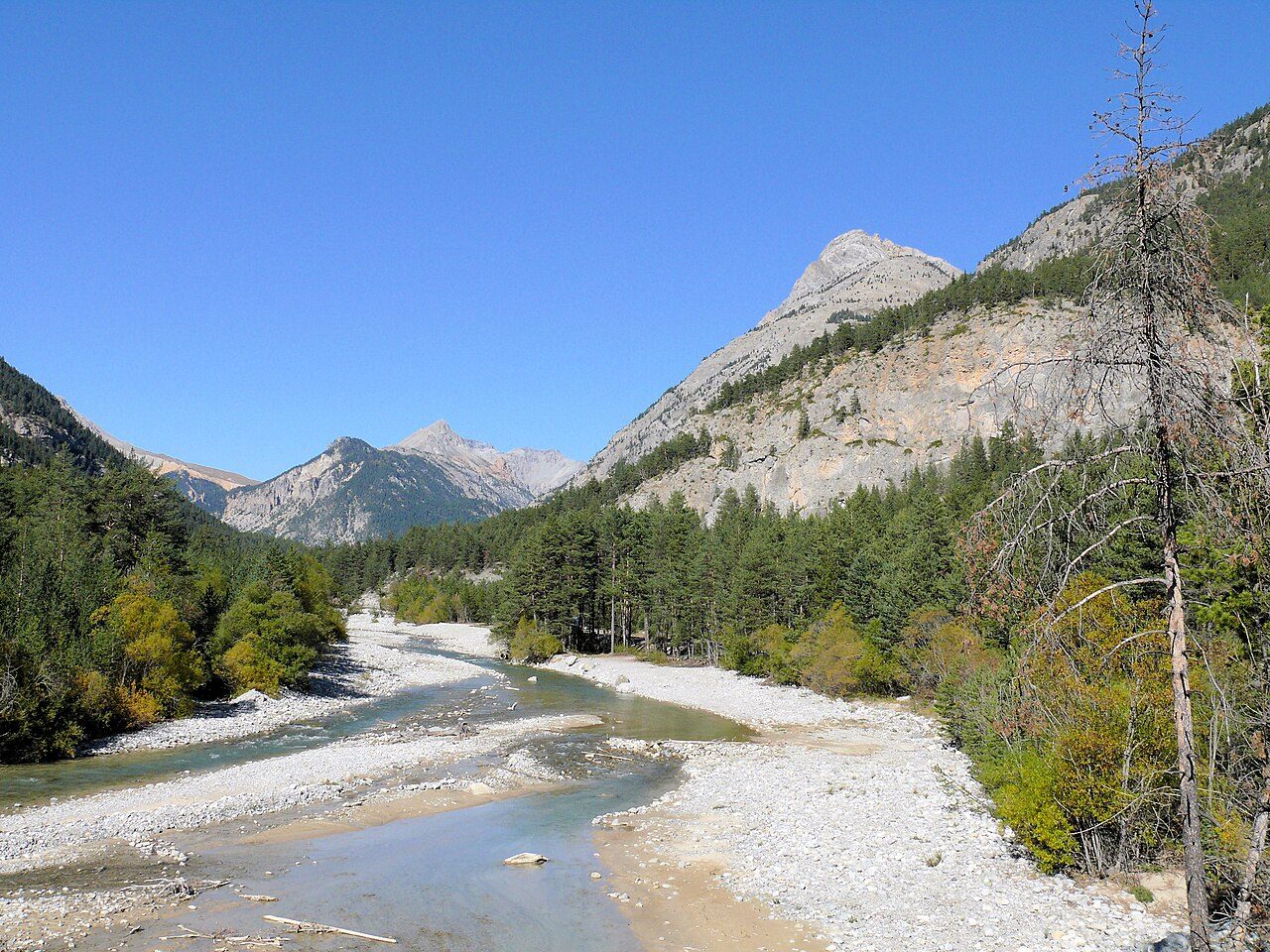
The Clarée valley is a wild and authentic site very close to Italy in the Briançonnais.
View full page →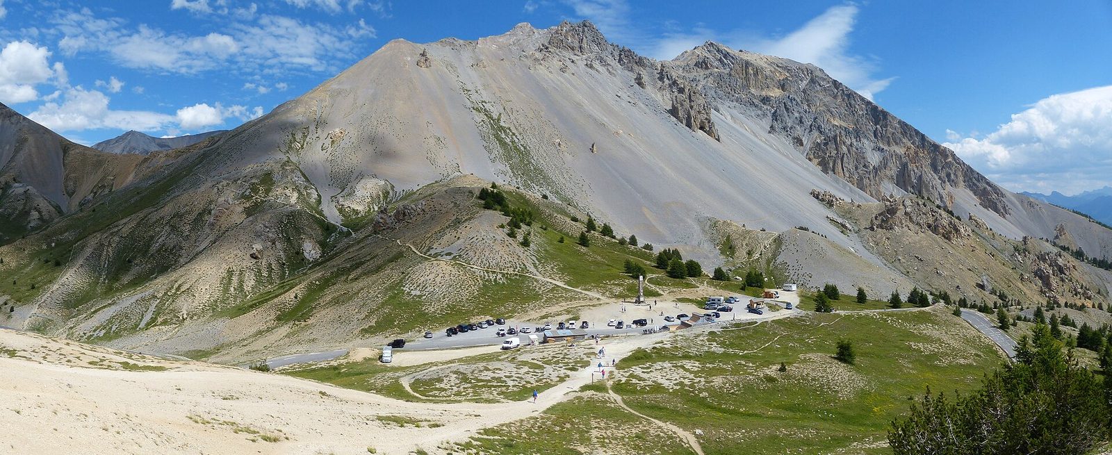
You can also follow the road that leads to the Col de l'Izoard and the lunar setting of the Casse Déserte, then to the wild defile of the Combe du Queyras.
View full page →This day brings together 5 sites close to each other: waterfalls, natural wonders and lakes. Allow half an hour to an hour and a half per site, plus travel time.
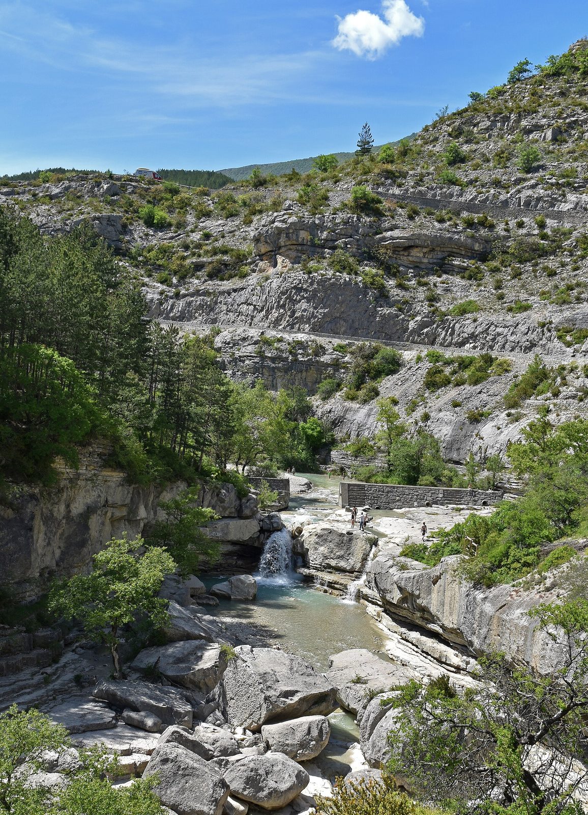
A magic of water, sun and light, this torrent that comes down from the Drôme, where it rises, tumbles joyfully along the wild bed that nature has made for it.
View full page →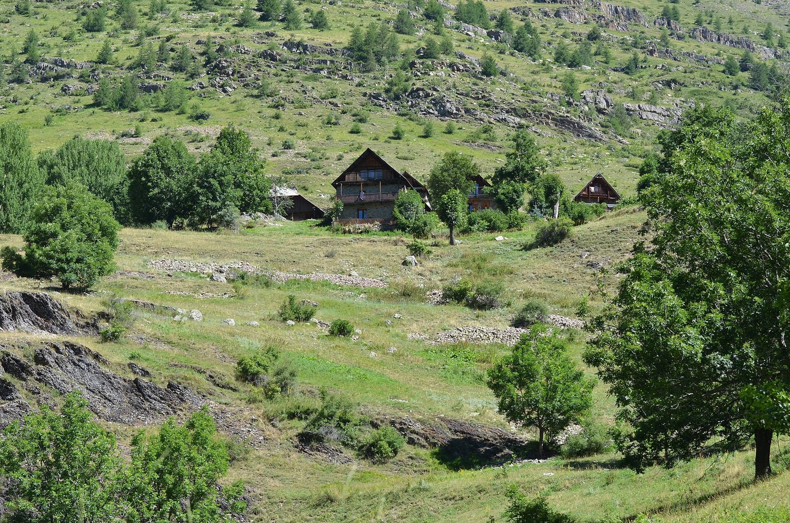
With a total height of 280 metres, the waterfall hardly freezes in winter because of its flow.
View full page →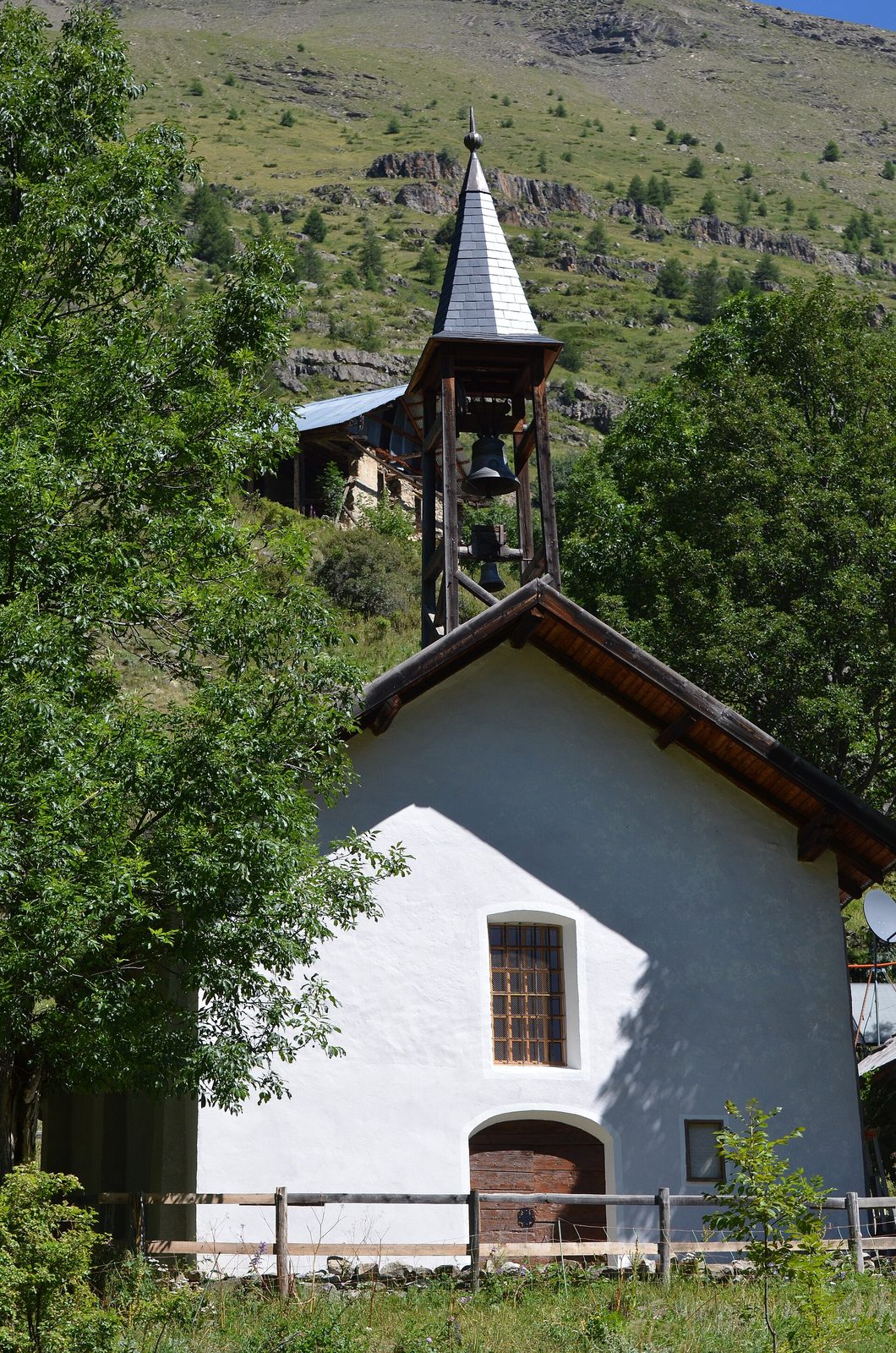
The Freissinières valley, 25 km from Briançon and 35 km from Italy, lies at the crossroads of an astonishing and varied region.
View full page →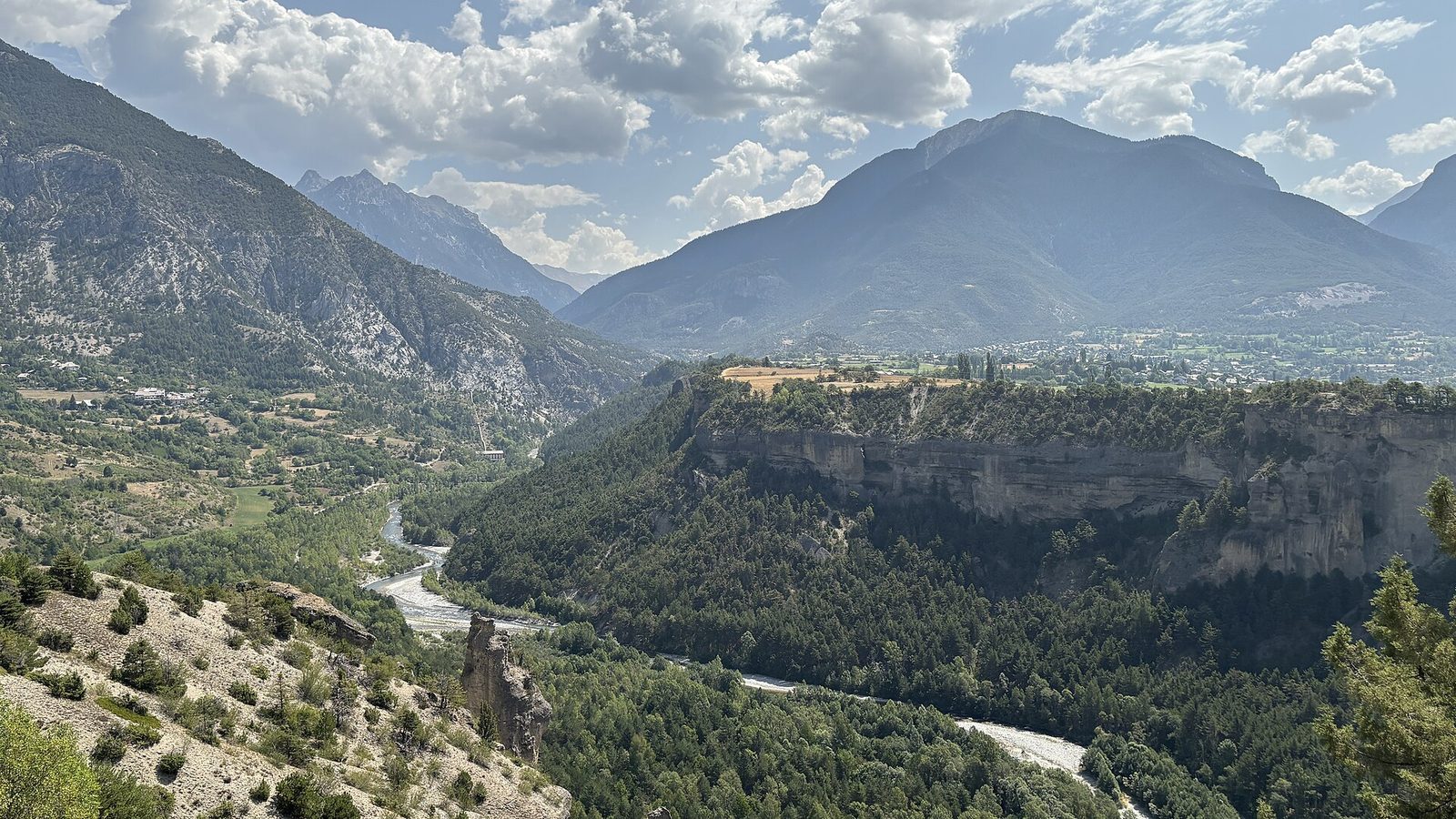
From Savines take the direction of Embrun, then Guillestre; from there you sink into the Guil Gorges and discover the Queyras valley.
View full page →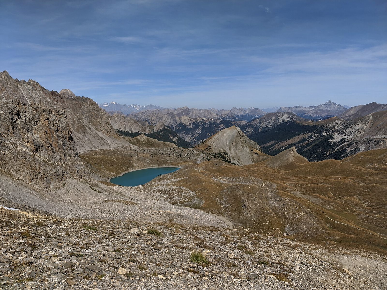
The largest lake in the Queyras with 8.5 hectares, Lac Sainte-Anne peaks at 2,414 metres at the foot of the Pic Nord de la Font Sancte and shelters a seventeenth-century chapel.
View full page →From June to September the high mountains are accessible. Spring and autumn are calmer. Winter is snowy, and many passes are closed.
A car is essential. Mountain roads are long and sometimes closed in winter. Check that the passes are open before you go.
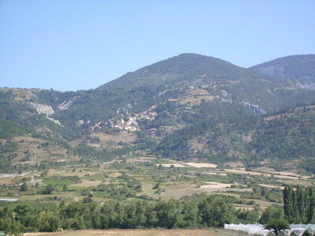
Under the name of capped lady (demoiselle coiffée) or fairy chimney, strange-shaped reliefs lie hidden.
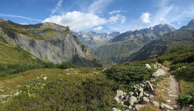
La Chapelle-en-Valgaudemar is a mountaineering centre very well located at the foot of the Pic d'Olan. Upstream of La Chapelle-en-Valgaudemar you can admire several waterfalls that leap from the slopes or escape from the ends of glacial tongues.
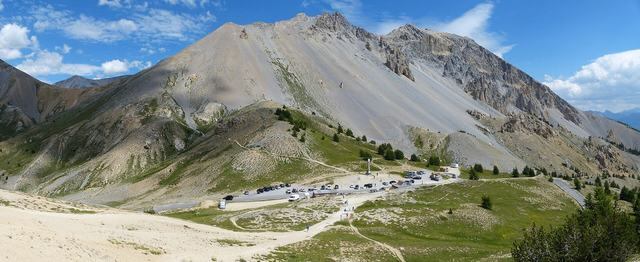
Crossed at 2,362 metres between the Briançonnais and the Queyras, the Col d'Izoard is one of the legendary giants of the Tour de France, famous for its lunar setting of the Casse Déserte.
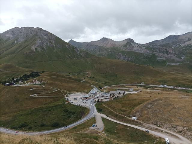
At 2,057 metres, an Alpine crossroads between the Oisans and the Briançonnais, famous for its alpine botanical garden and its junction with the Galibier road.

Former capital of the Republic of the Escartons in the fourteenth century then a military town of the Alps, Briançon is on the Route des Grandes Alpes, between Grenoble and Turin.
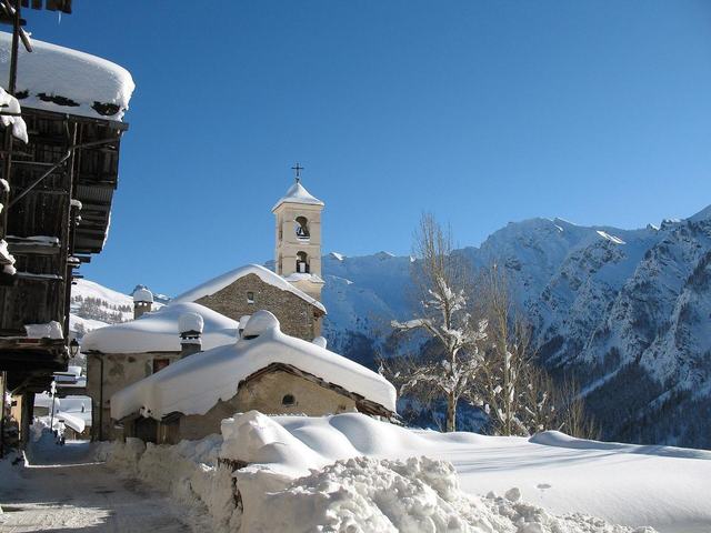
Reachable by road for barely more than a century, you enter the town made up of several quarters by the road below, and discover the oldest buildings, wooden chalets, fine galleries of hayloft barns, a well, a bread oven.