Waterfalls · Sainte-Eulalie-en-Royans
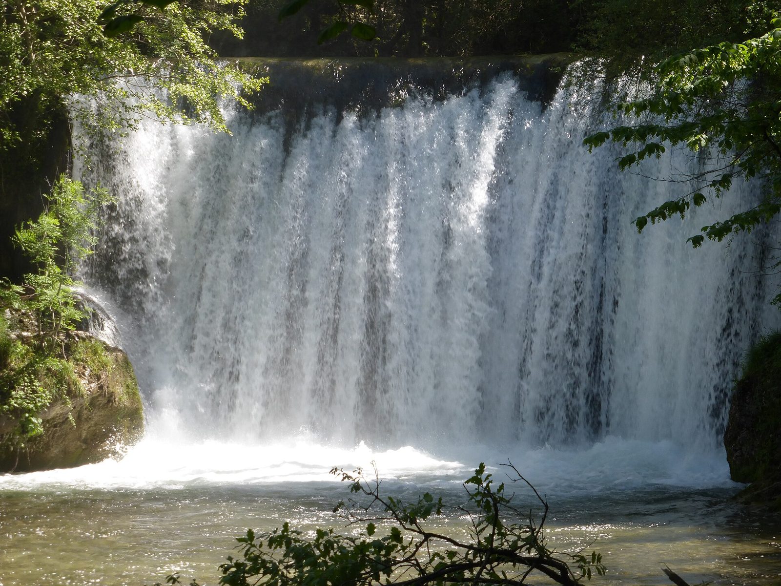
1 La Cascade Blanche
A wide foaming fall on the Lyonne, a stone's throw from Pont-en-Royans, reached by a short, easy walk in the heart of the Vercors.
View full page →The Drôme is a transition département between the Alps and Provence: hilltop villages, castles, vineyards and dry-mountain landscapes. Lavender fields and unspoilt valleys make it a pleasant destination in every season.
This itinerary spreads the best-rated sites in the catalogue over three geographically coherent days.
The map shows the numbered stops in visiting order, with one colour per day. The line follows the roads where available; otherwise it joins the stops as the crow flies. Distances and times are approximate (by car, without traffic).
This day brings together 5 sites close to each other: waterfalls and caves. It passes through Sainte-Eulalie-en-Royans and Échevis. Allow half an hour to an hour and a half per site, plus travel time.
Driving for the day: about 34.9 km, or 38 min behind the wheel in total (excluding visits).
A wide foaming fall on the Lyonne, a stone's throw from Pont-en-Royans, reached by a short, easy walk in the heart of the Vercors.
View full page →↓ 0.4 km · about 1 min by car to the next stop
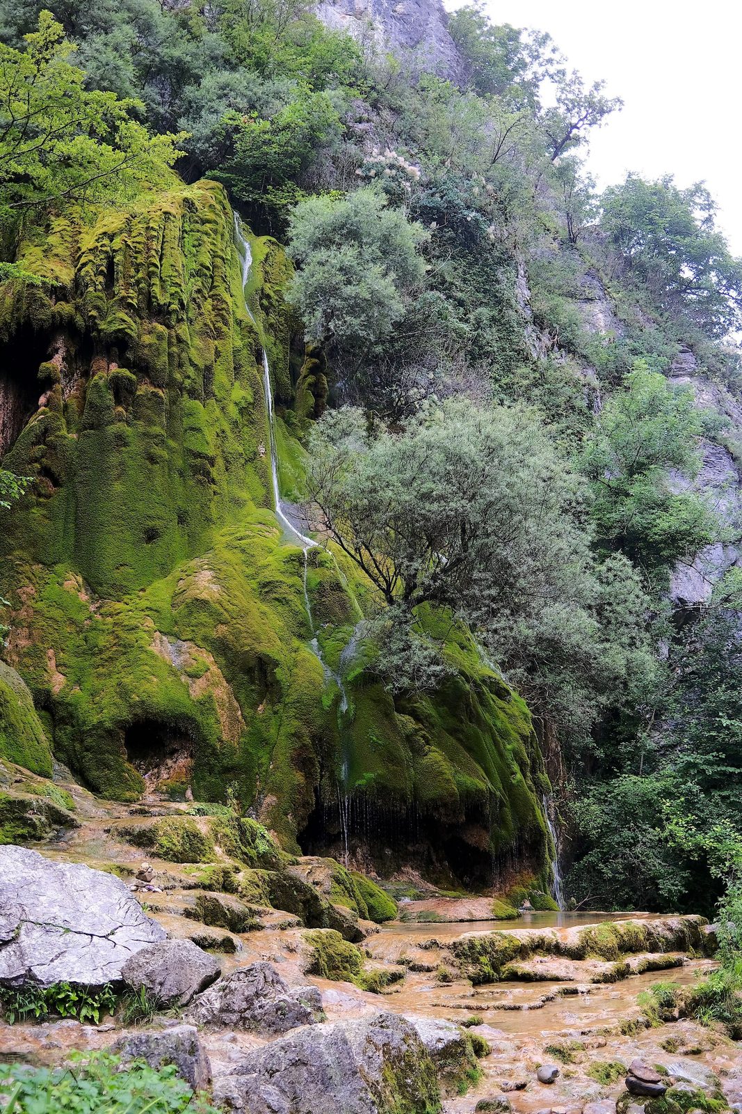
A curtain of water falling from the Devil's Cave over a wall carpeted in moss and tufa, near Pont-en-Royans, in the Vercors.
View full page →↓ 8.7 km · about 10 min by car to the next stop
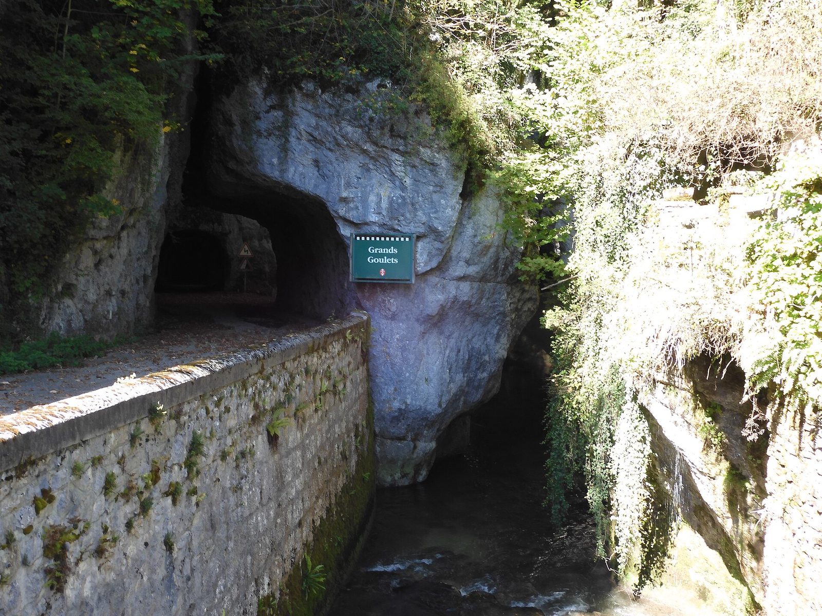
The Grands Goulets are gorges in the French département of the Drôme, in the upper part of the reculée of the Vernaison (or Échevis valley), in the western part of the Vercors massif.
View full page →↓ 11.1 km · about 12 min by car to the next stop
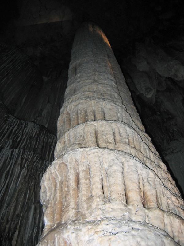
It was Fabien Rey who discovered the Draye Blanche cave when he lost a dog. The dog had fallen through the entrance of a hole.
View full page →↓ 14.7 km · about 16 min by car to the next stop

The Luire cave is in the heart of the Vercors, not far from Saint-Agnan.
View full page →This day brings together 3 sites close to each other: villages, waterfalls and natural wonders. Allow half an hour to an hour and a half per site, plus travel time.
Driving for the day: about 120.0 km, or 2 h 40 behind the wheel in total (excluding visits).
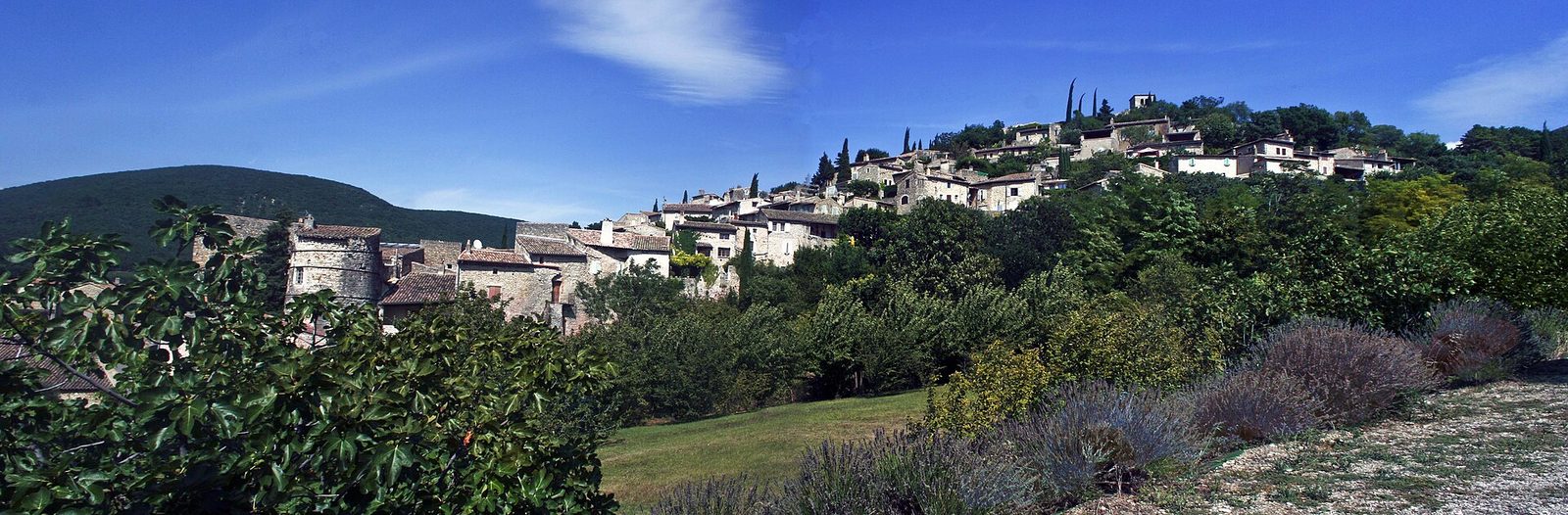
As you approach the town, your gaze stops on the imposing ramparts built in the fifth century.
View full page →↓ 48.3 km · about 56 min by car to the next stop

The waterfall is 72 metres high and a path descends to its transparent green waters. Access via the Omblèze gorges and the Druise Fall.
View full page →↓ 71.8 km · about 1 h 44 by car to the next stop
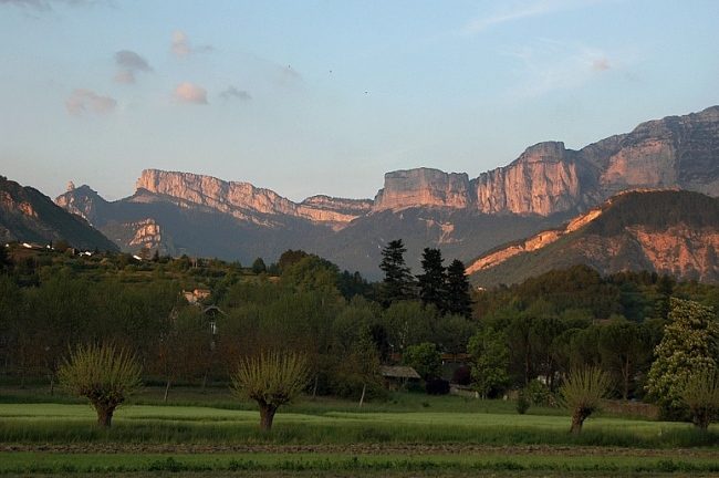
From the sumptuous cirque of Archiane, discover the largest nature reserve in France: the Hauts-Plateaux du Vercors with the Combeau valley, the Tête Chevalière, the Jardin du Roi and the Chamousset sheepfold.
View full page →This day brings together 4 sites close to each other: villages and natural wonders. It passes through Buis-les-Baronnies. Allow half an hour to an hour and a half per site, plus travel time.
Driving for the day: about 107.7 km, or 2 h 40 behind the wheel in total (excluding visits).
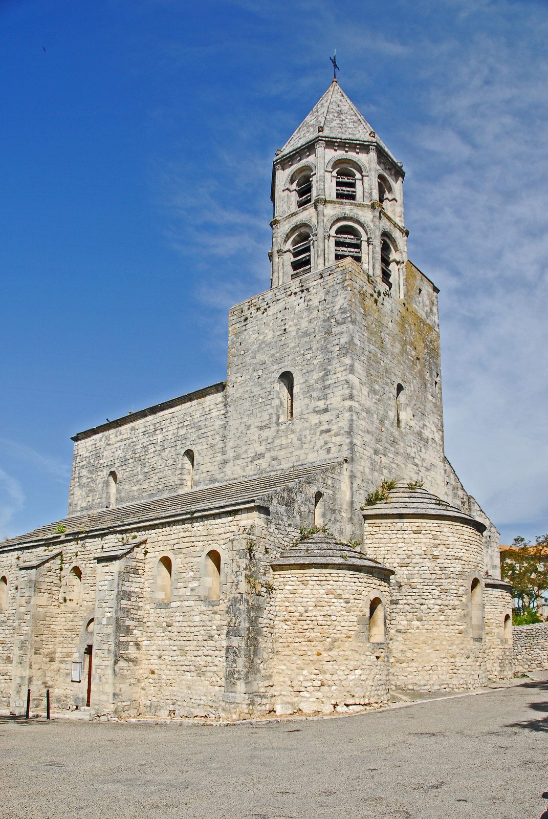
Perched on a hill overlooking the Donzère-Mondragon canal and the Pierrelatte plain, this former medieval stronghold lies on the left bank of the Rhône.
View full page →↓ 13.7 km · about 35 min by car to the next stop
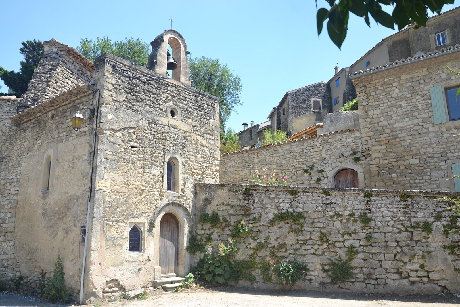
Curious, I would have no other word to define this natural phenomenon that is the formation of this crevasse.
View full page →↓ 62.8 km · about 1 h 26 by car to the next stop
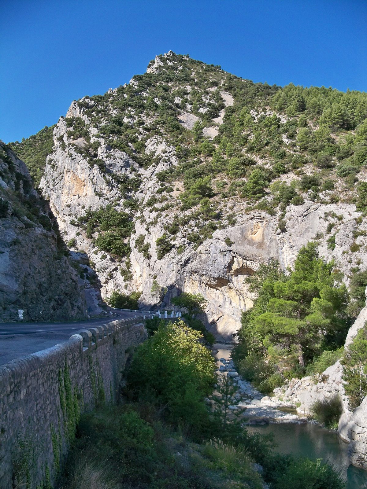
A listed natural site 3 km from Buis-les-Baronnies, where the Ouvèze winds between limestone cliffs: swimming, climbing and hiking in the heart of the Baronnies.
View full page →↓ 31.2 km · about 39 min by car to the next stop

Packed against each other, the old stone houses have gained in height the space they did not have on the ground.
View full page →Spring and autumn are the most pleasant. Summer is hot, especially in the south of the département, and lavender draws crowds in early summer. Winter is quieter, with some sites closed.
A car is almost essential: sites are scattered and public transport rare. Valley roads are pleasant, mountain roads slower.
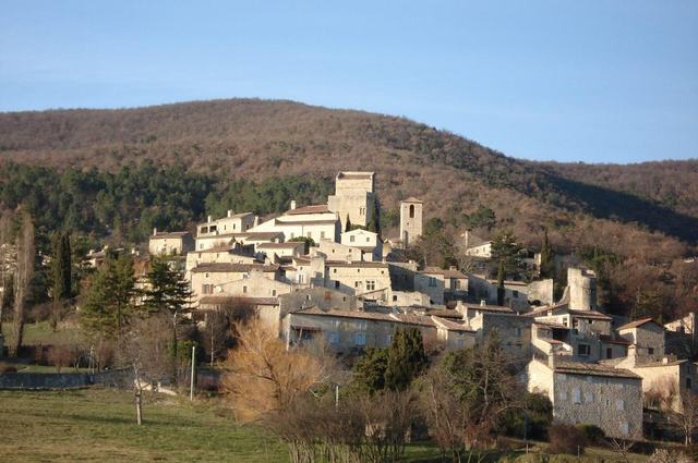
On a steep site in the Jabron valley, this medieval village with a triangular plan sits in a superb panorama of wooded foothills.
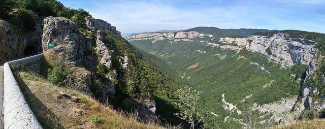
A spectacular reculée of the Vercors dominated by a road cut into the cliff side more than 700 metres above the void.
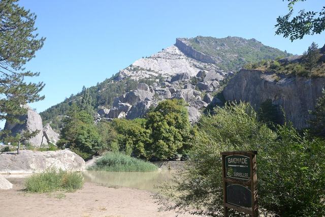
In 1442, a limestone landslide of about two million cubic metres broke away from the slope and blocked the bed of the Drôme at two points, forming the Petit Lac downstream and the Grand Lac upstream.
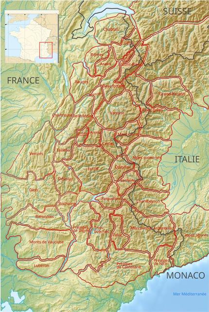
From the Font d'Urle resort, take the track climbing to the Porte d'Urle for 250 metres. On the left begins a path with a gate to cross the electric fence, which runs along the south flank of the peak marked 1500.
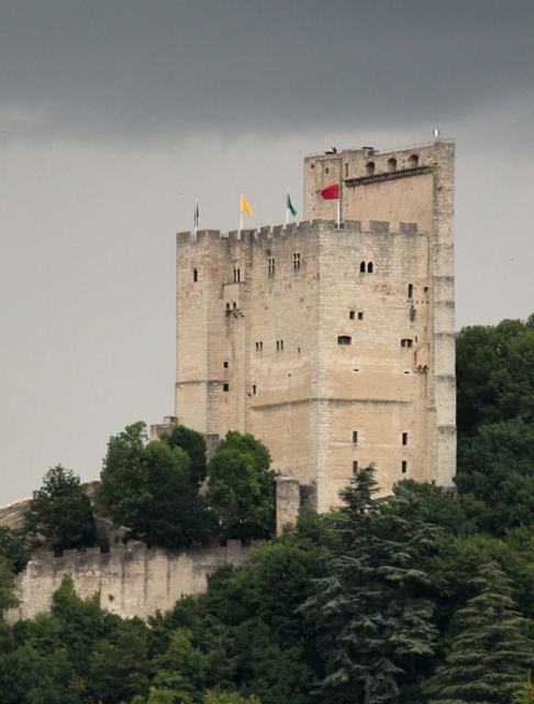
The highest keep in France, 52 metres tall, the Tour de Crest is the guardian of one of the rare gateways of the Drôme Prealps.
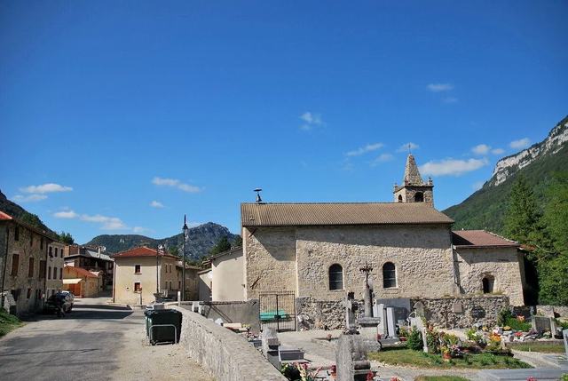
Grotte du Brudour, from the bridge over the Brudour, a half-hour round-trip walk. A very pleasant path leads to this cavity, the resurgence of waters that fell around Une.