Natural wonders · Manche
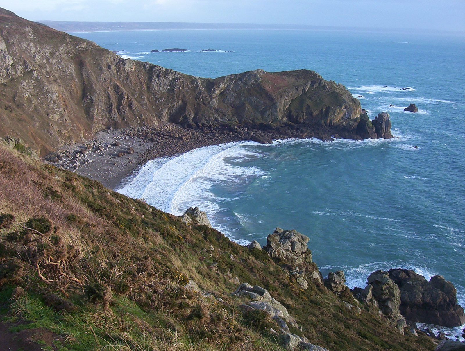
1 Le Nez de Jobourg
The region's main site is the grandiose Nez de Jobourg, an ornithological reserve. These cliffs are among the highest in Europe (128 m).
View full page →Between the D-Day beaches, the cliffs of Étretat, Mont-Saint-Michel and historic towns, Normandy condenses a great variety of landscapes and stories into a few days. This itinerary offers four days built from the best-rated sites.
Normandy has a great variety of coastlines: the chalk cliffs of the Alabaster Coast, the sandy beaches of the Côte Fleurie, the D-Day beaches, and the capes and bays of the Cotentin. Each area has its own atmosphere, and the often changing light gives the landscapes great depth.
The cliffs are fragile and subject to erosion: respect safety instructions and do not go near the edge. The tides are strong, especially in the bay of Mont-Saint-Michel, where they are among the most spectacular in Europe.
On 6 June 1944, the beaches of Calvados and Manche were the scene of the landings. Today many sites recall this history: beaches, batteries, military cemeteries, memorials and museums. Visiting them is often moving and deserves a moment of reflection.
Museums offer varied routes, with objects, testimonies and reconstructions. It is useful to book in advance in high season and to allow several hours for an in-depth visit.
Rouen and its cathedral, Bayeux and its tapestry, Caen and its abbeys founded by William the Conqueror and his wife, Honfleur and its old harbour: Normandy has fine towns. The abbeys of Jumièges and Saint-Wandrille and Mont-Saint-Michel bear witness to the region's religious role.
The towns are explored on foot, and the surroundings offer landscapes of bocage, orchards and valleys. The less-visited hinterland lets you discover manors, villages and cider producers.
Norman cooking is renowned for its dairy products, especially butter, cream and cheeses such as Camembert, Livarot and Pont-l'Évêque. Apples give cider, pommeau and Calvados, and the sea provides mussels, oysters, scallops and fish.
To taste these products, nothing beats markets and farm inns. Plan a few gourmet stops between visits: they are part of the journey.
The map shows the numbered stops in visiting order, with one colour per day. The line follows the roads where available; otherwise it joins the stops as the crow flies. Distances and times are approximate (by car, without traffic).
This day brings together 3 sites close to each other: natural wonders, villages and museums. It passes through Cricqueville-en-Bessin. Allow half an hour to an hour and a half per site, plus travel time.
Driving for the day: about 128.2 km, or 2 h 13 behind the wheel in total (excluding visits).
The region's main site is the grandiose Nez de Jobourg, an ornithological reserve. These cliffs are among the highest in Europe (128 m).
View full page →↓ 55.2 km · about 1 h 02 by car to the next stop
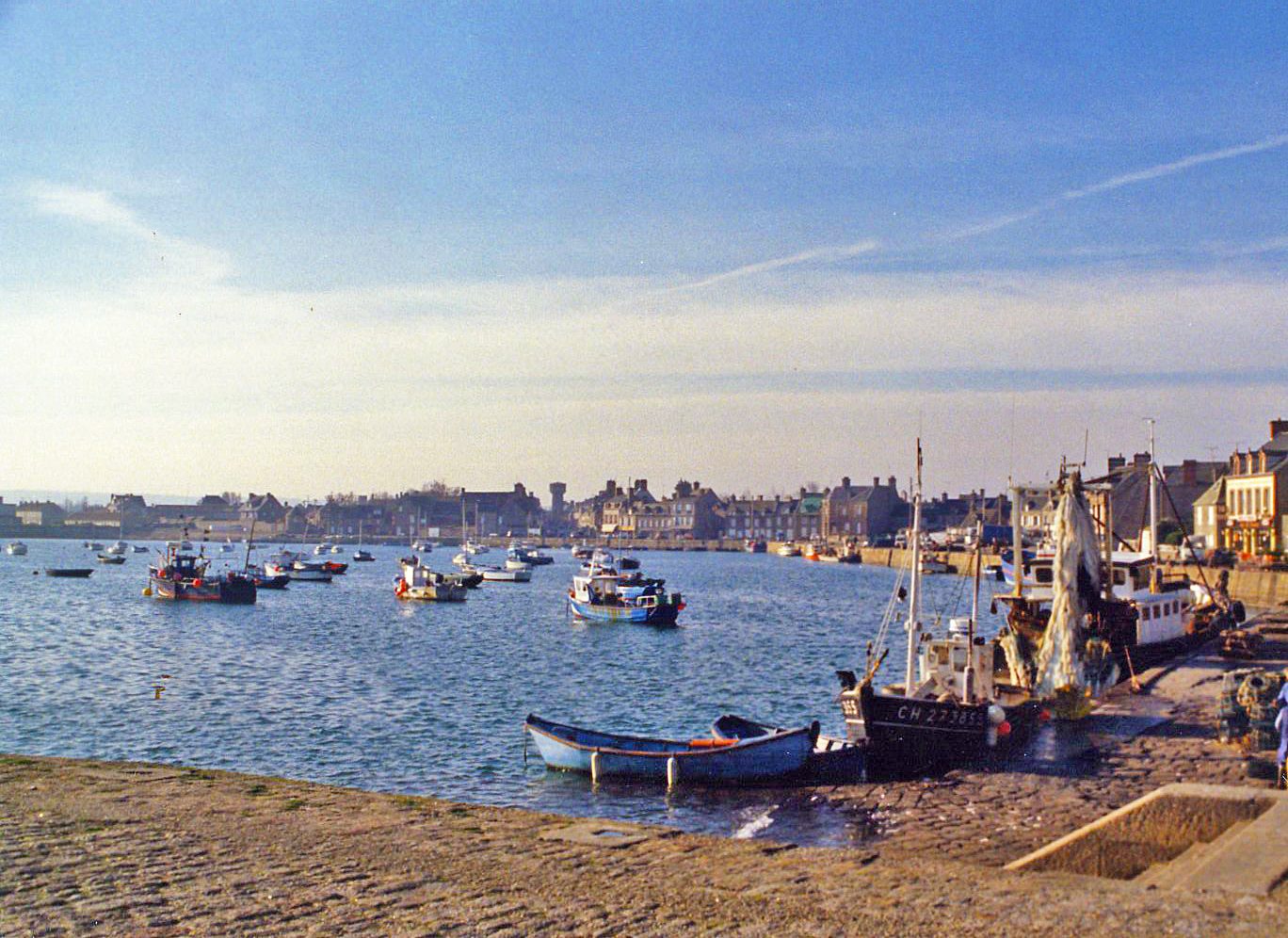
A former Roman-Viking port, Barfleur had nine thousand inhabitants in the time of Norman power and remained the leading port of the Cotentin in the Middle Ages.
View full page →↓ 73.0 km · about 1 h 11 by car to the next stop
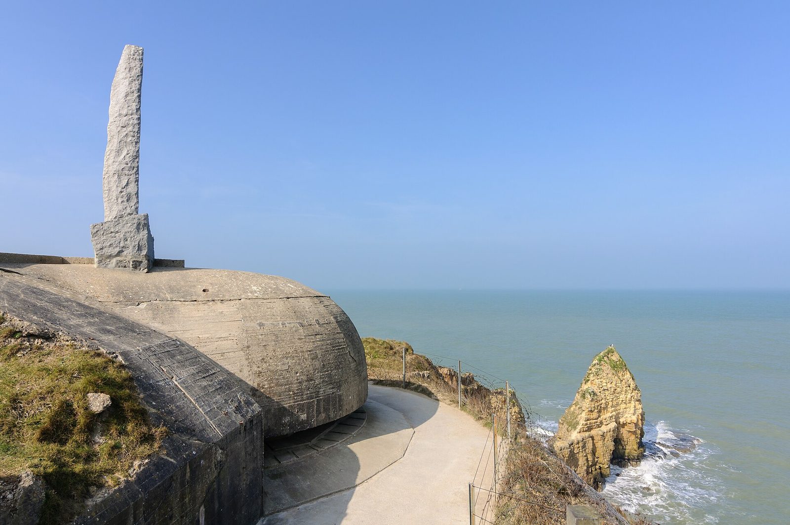
A steep rocky promontory stormed by the American Rangers on 6 June 1944, whose ground, shattered by craters, and blockhouses still bear witness to the fighting.
View full page →This day brings together 6 sites close to each other: natural wonders, towns and cities and religious sites. It passes through Honfleur and Rouen. Allow half an hour to an hour and a half per site, plus travel time.
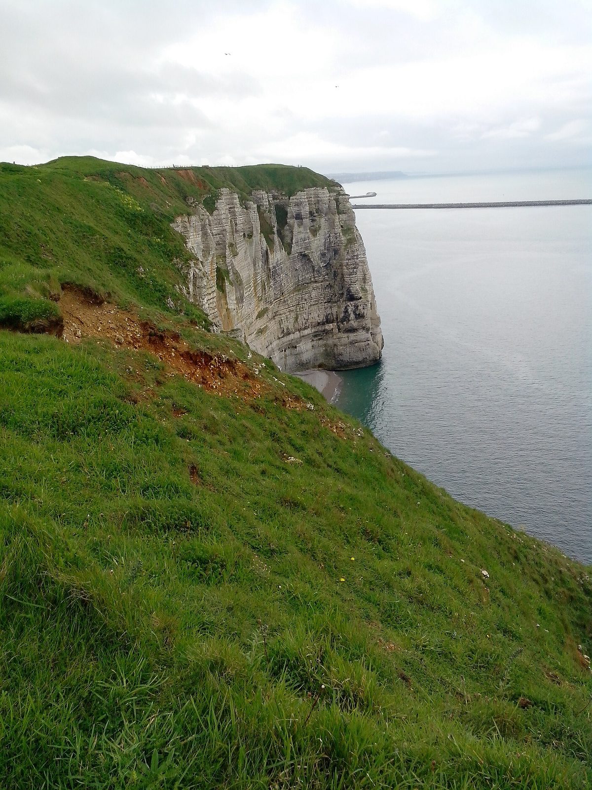
The extreme tip of Cap d'Antifer cannot be passed at sea level, even at low spring tide. It is therefore one of the few points on the coast where the foot of the cliff remains inaccessible.
View full page →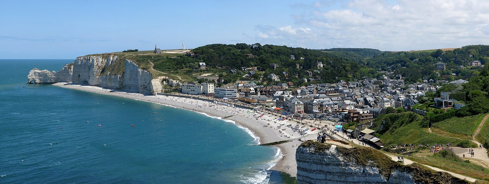
The cliffs of Étretat are an exceptional natural site where the spectacle of cliffs cut into arches, needles and pinnacles will take your breath away.
View full page →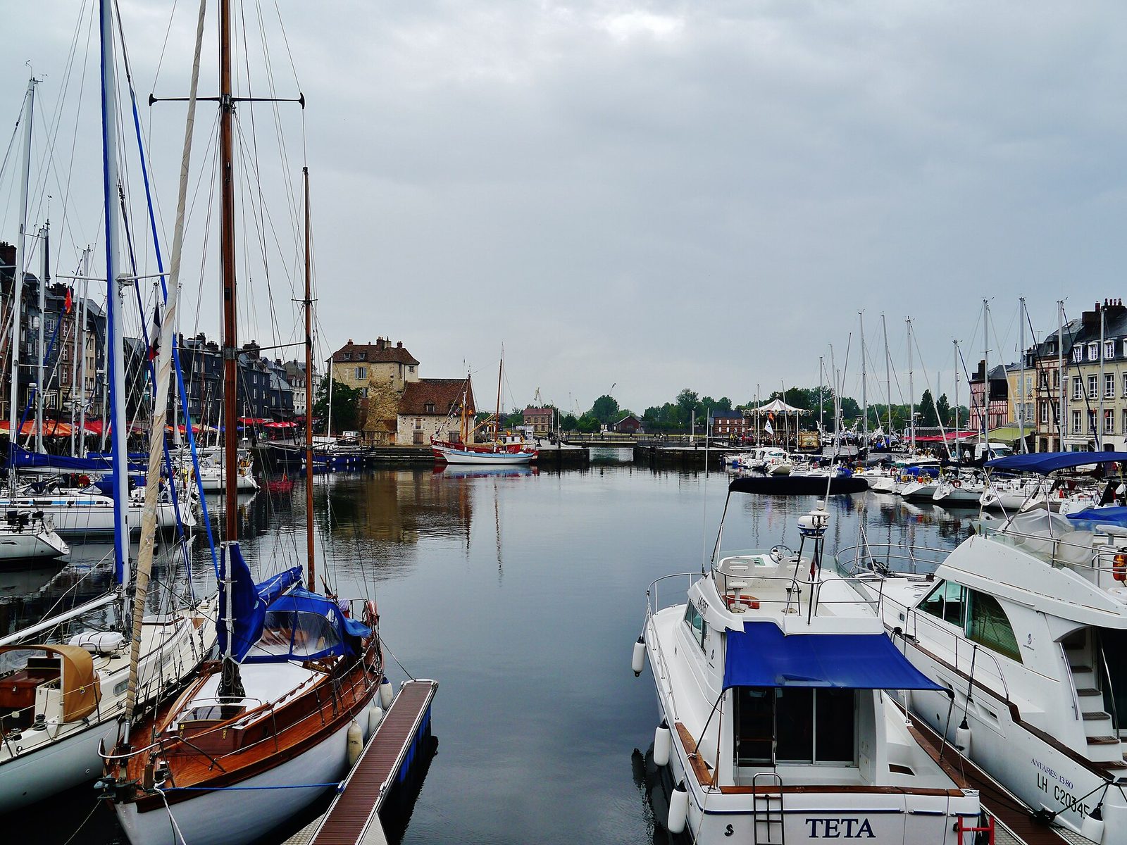
A historic port on the Seine estuary, with its Vieux Bassin lined with tall half-timbered houses, a source of inspiration for the Impressionist painters.
View full page →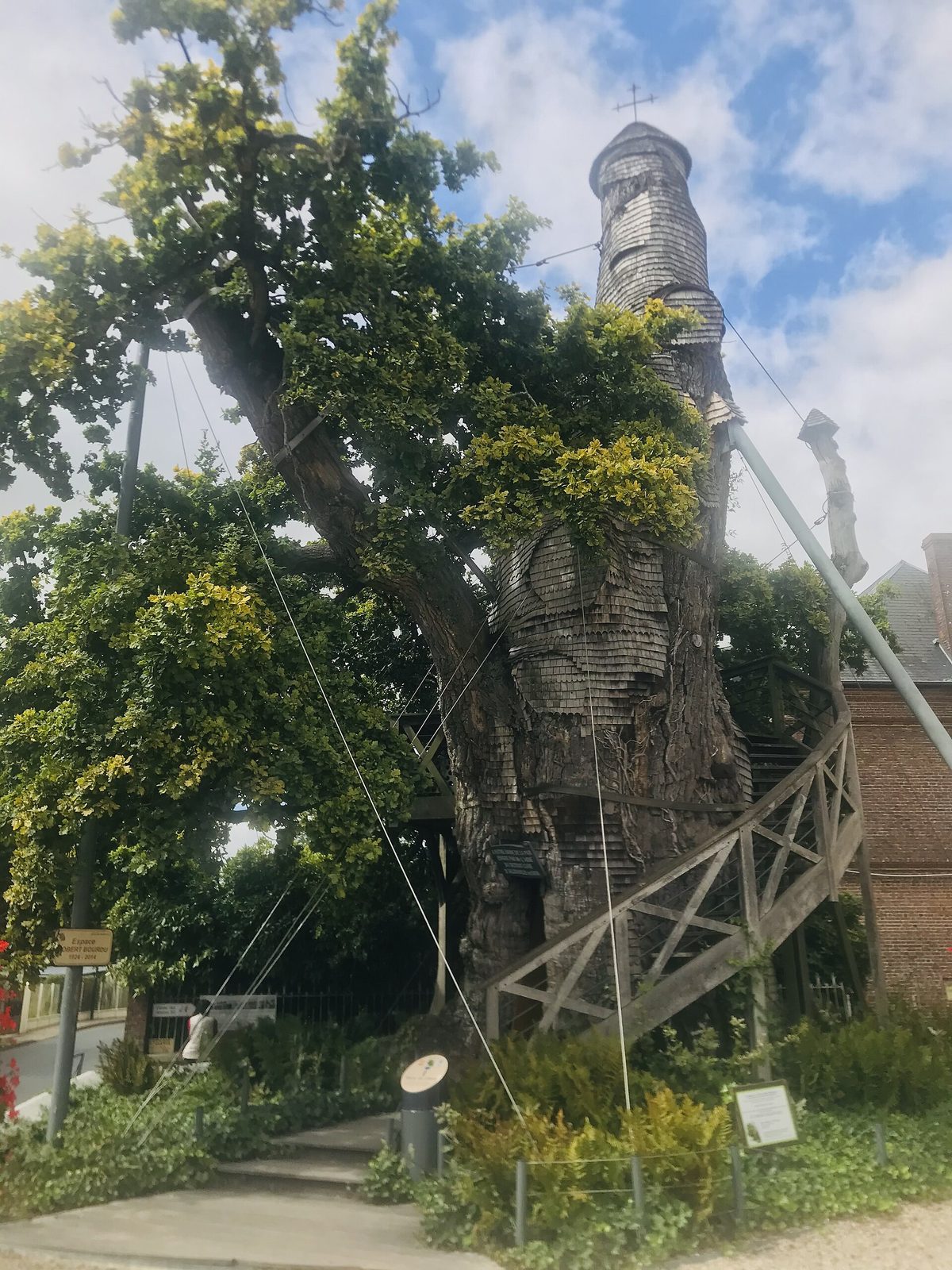
Planted, according to tradition, nearly a thousand years ago, this pedunculate oak standing in the church square of Allouville-Bellefosse is one of the most famous trees in France.
View full page →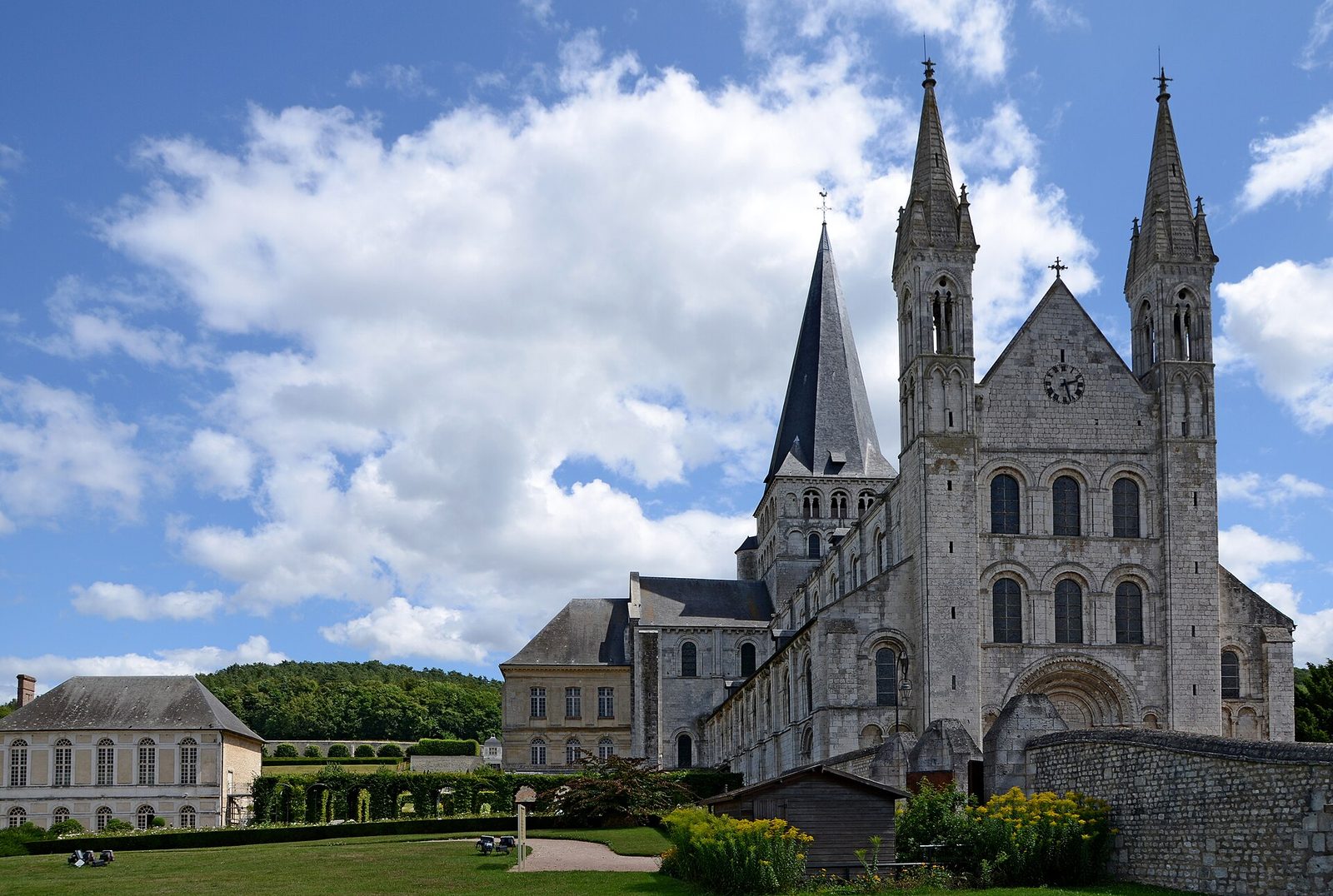
A twelfth-century Benedictine abbey and its 4-ha monastic garden among the most beautiful in northern France, 10 km west of Rouen.
View full page →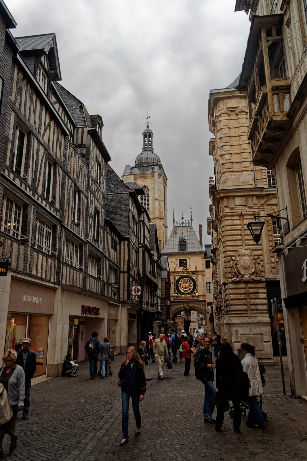
Historic capital of Normandy where Joan of Arc was burned, whose Renaissance Gros-Horloge still overlooks a half-timbered shopping street.
View full page →This day brings together 3 sites close to each other: waterfalls, villages and natural wonders. Allow half an hour to an hour and a half per site, plus travel time.
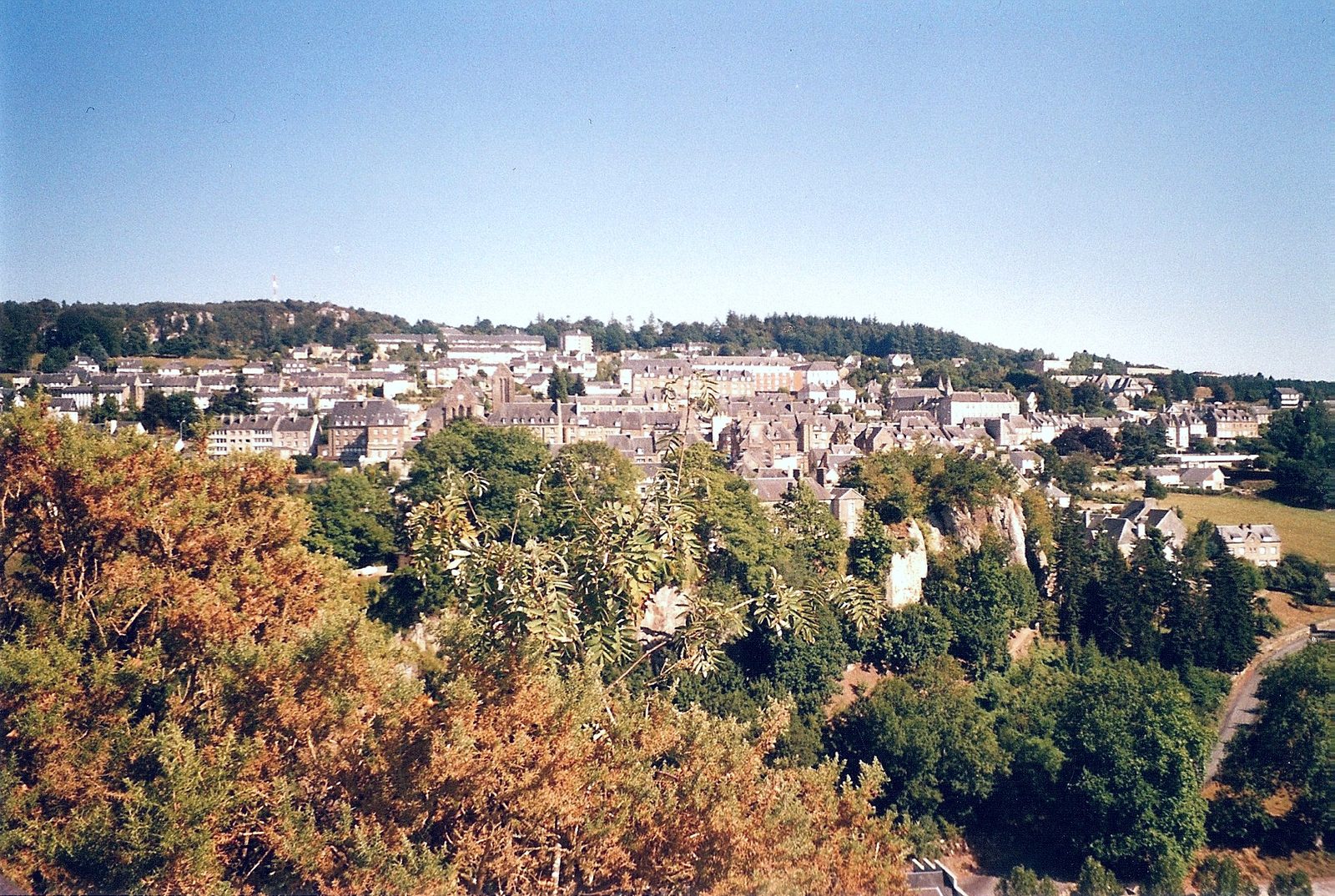
The waterfalls capture the very essence of deep Normandy. The Cance and Cançon have flowed here since time immemorial.
View full page →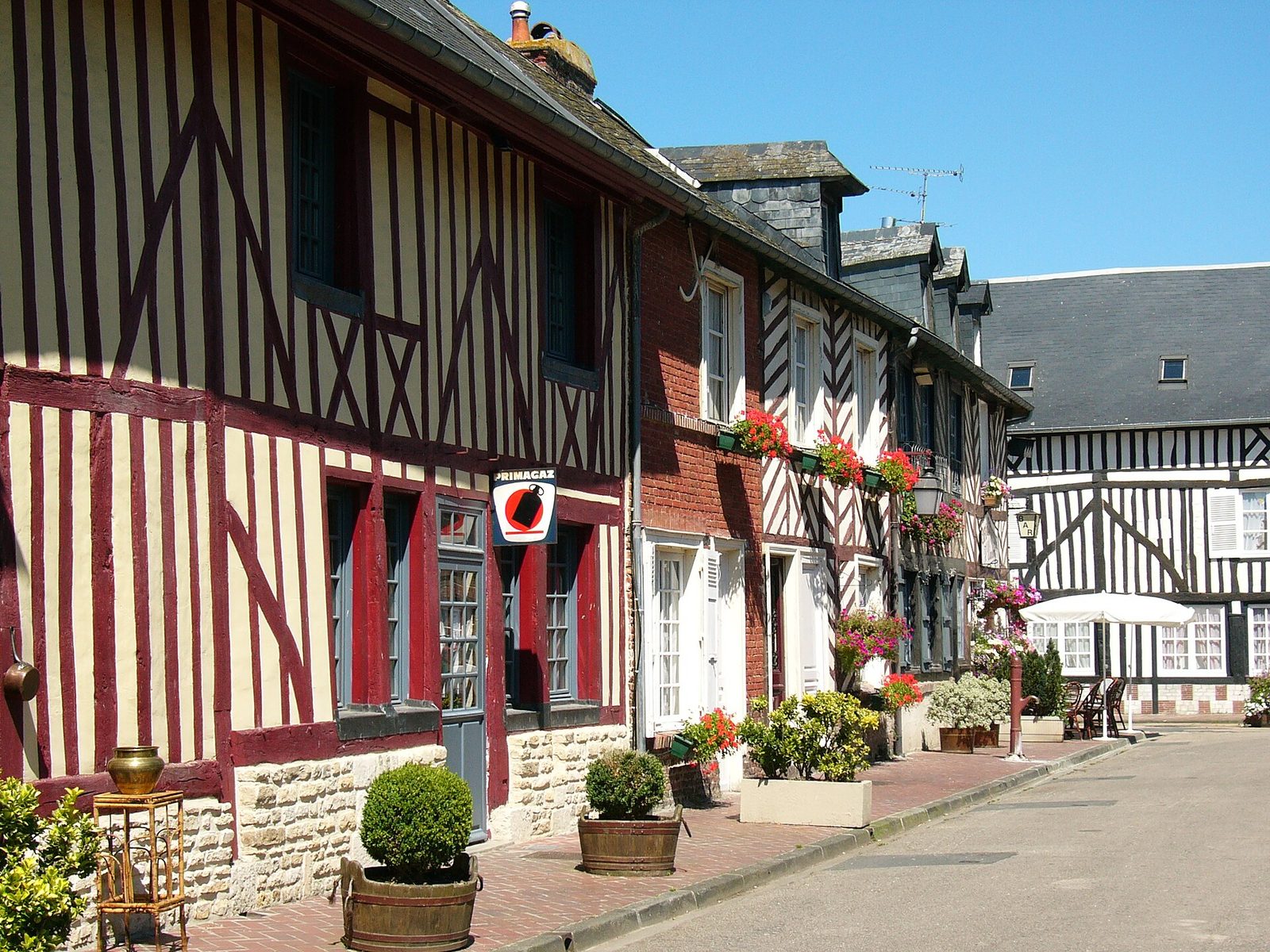
A little jewel of Norman architecture, dominated by half-timbering, Beuvron-en-Auge is classified as a "most beautiful village of France".
View full page →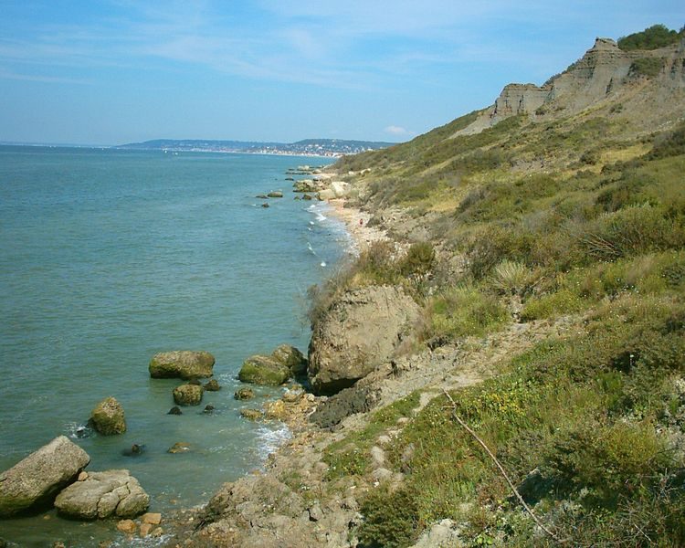
The Vaches Noires in Normandy (Calvados, France) are cliffs made mainly of clays and glauconitic chalk.
View full page →This day brings together 4 sites close to each other: natural wonders, towns and cities and villages. It passes through Granville. Allow half an hour to an hour and a half per site, plus travel time.

52 islets, 365 rocks at low tide (one for every day!), Chausey is an archipelago unique in France, once well known for its granite that built Saint-Malo, Fécamp, Paris and London!
View full page →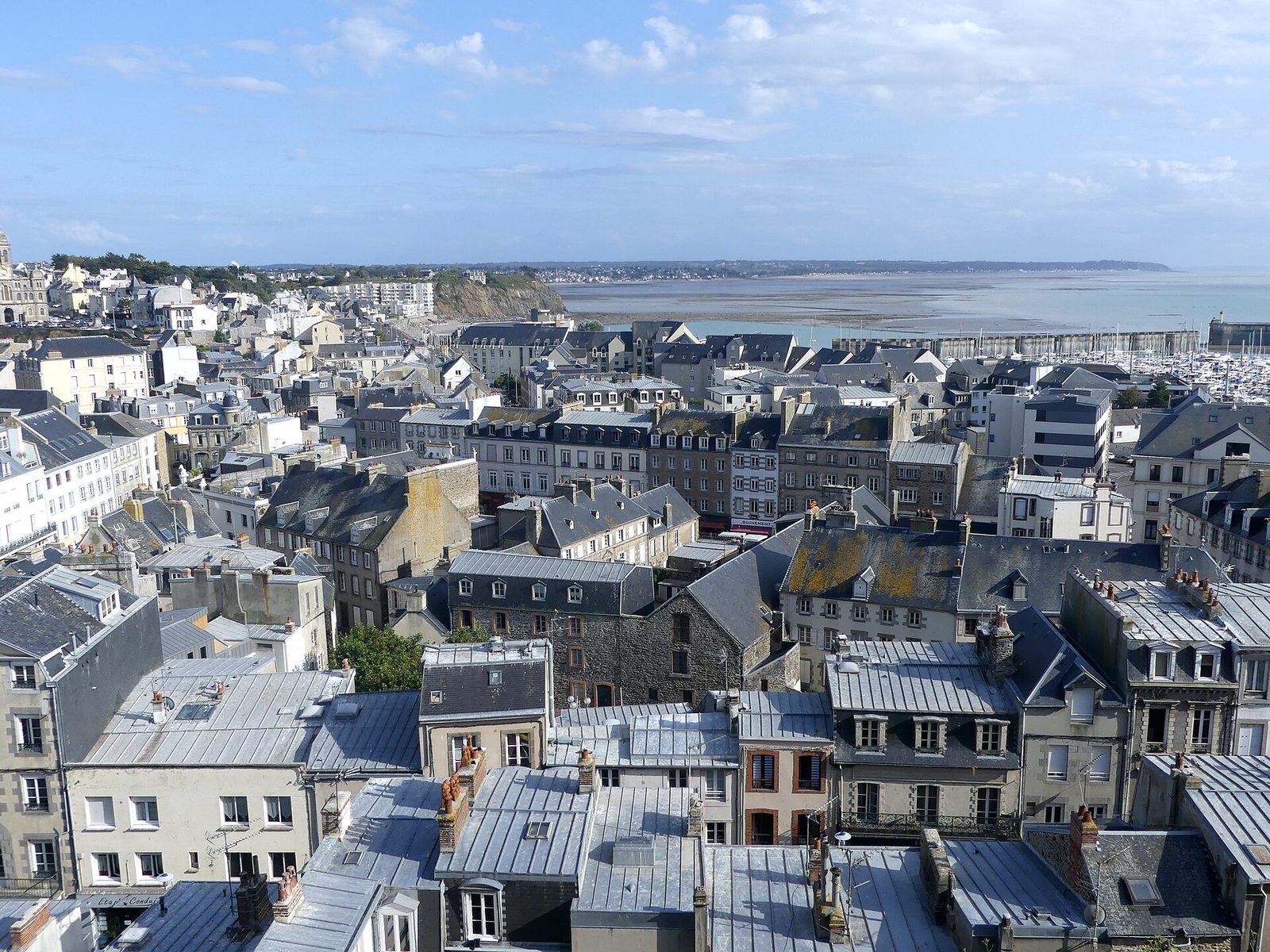
A fortified corsair town perched on a rocky cape overlooking the bay of Mont-Saint-Michel, birthplace of the couturier Christian Dior.
View full page →
The prodigious architecture of Mont-Saint-Michel and its bay make it the most visited tourist site in Normandy and the third in France (after the Eiffel Tower and the Palace of Versailles), with some 3,200,000 visitors every year.
View full page →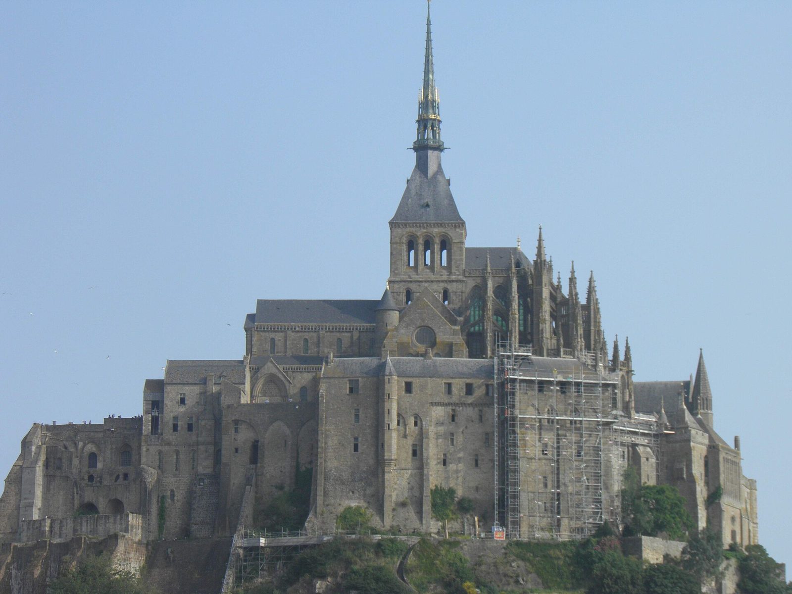
On a rocky islet in the middle of immense sands subject to the coming and going of powerful tides, on the border between Normandy and Brittany, rise the "Wonder of the West", a Gothic Benedictine abbey dedicated to the archangel Saint Michael, and the village born in the shelter of its walls.
View full page →From May to September the weather is milder, but it changes quickly all year round. June and September are good months: calmer, with long days. Tides affect visits to the bay of Mont-Saint-Michel and some coastal sites.
A car is the most practical way to link the coast and the interior. Rouen, Caen and Bayeux are explored on foot. Check tide times before going onto the foreshore. Coastal roads are pleasant but slow.
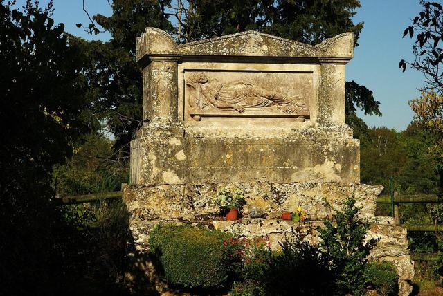
9 km north of Falaise, near Soumont-Saint-Quentin, the Laizon river has forced a passage through the hills of Armorican sandstone.
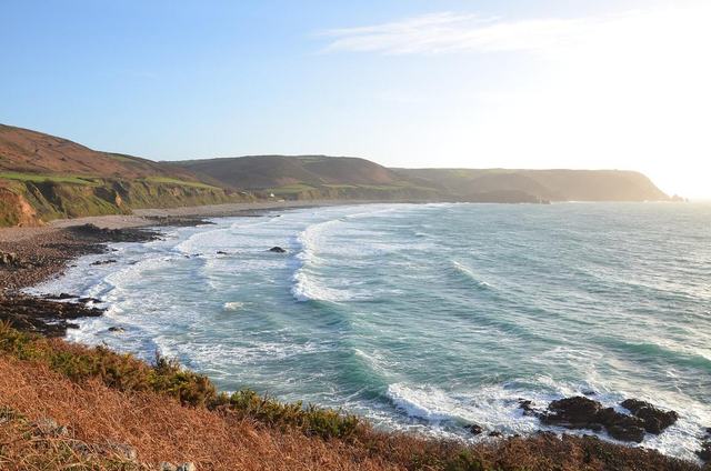
Between the Nez de Jobourg and the port of Goury, this crescent bay offers one of the finest panoramas of La Hague. Its dunes and heath, followed by the customs officers' path, remain preserved from all urbanisation.
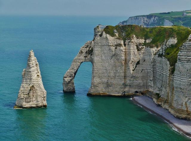
Over 130 kilometres, the white chalk of the Pays de Caux rises in sheer cliffs facing the Channel, punctuated by natural arches famous at Étretat. This changing coastline, sculpted by marine erosion, has inspired painters and writers.

The extreme tip of the Cotentin, the Cap de la Hague faces one of the most powerful tidal currents in Europe, the Raz Blanchard. Wild heath, granite villages and the Goury lighthouse make up this harsh, wind-battered landscape.
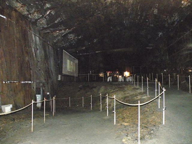
Discovery of the underground world, a "fossilised" underground slate quarry dug by human hand in the heart of the Norman Bocage.
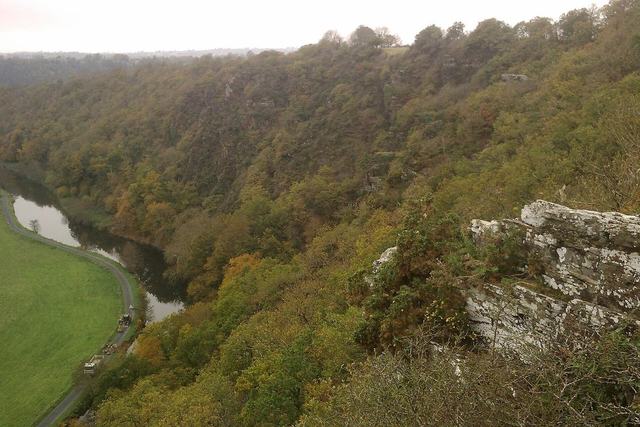
The natural site of the Roches de Ham is in the Vire valley. These steep cliffs overlook the valley from about a hundred metres' height.