
Caves · Isère
1 Grotte de la balme
The Balme caves are among the most beautiful in France, of which they represent a true synthesis.
View full page →Isère runs from big towns to the Chartreuse, Vercors and Oisans massifs. It has gorges, caves, mountain villages and castles in a very varied area.
This itinerary spreads the best-rated sites in the catalogue over three days. Mountain roads are spectacular but slow.
The map shows the numbered stops in visiting order, with one colour per day. The line follows the roads where available; otherwise it joins the stops as the crow flies. Distances and times are approximate (by car, without traffic).
This day brings together 3 sites close to each other: caves and lakes. Allow half an hour to an hour and a half per site, plus travel time.
The Balme caves are among the most beautiful in France, of which they represent a true synthesis.
View full page →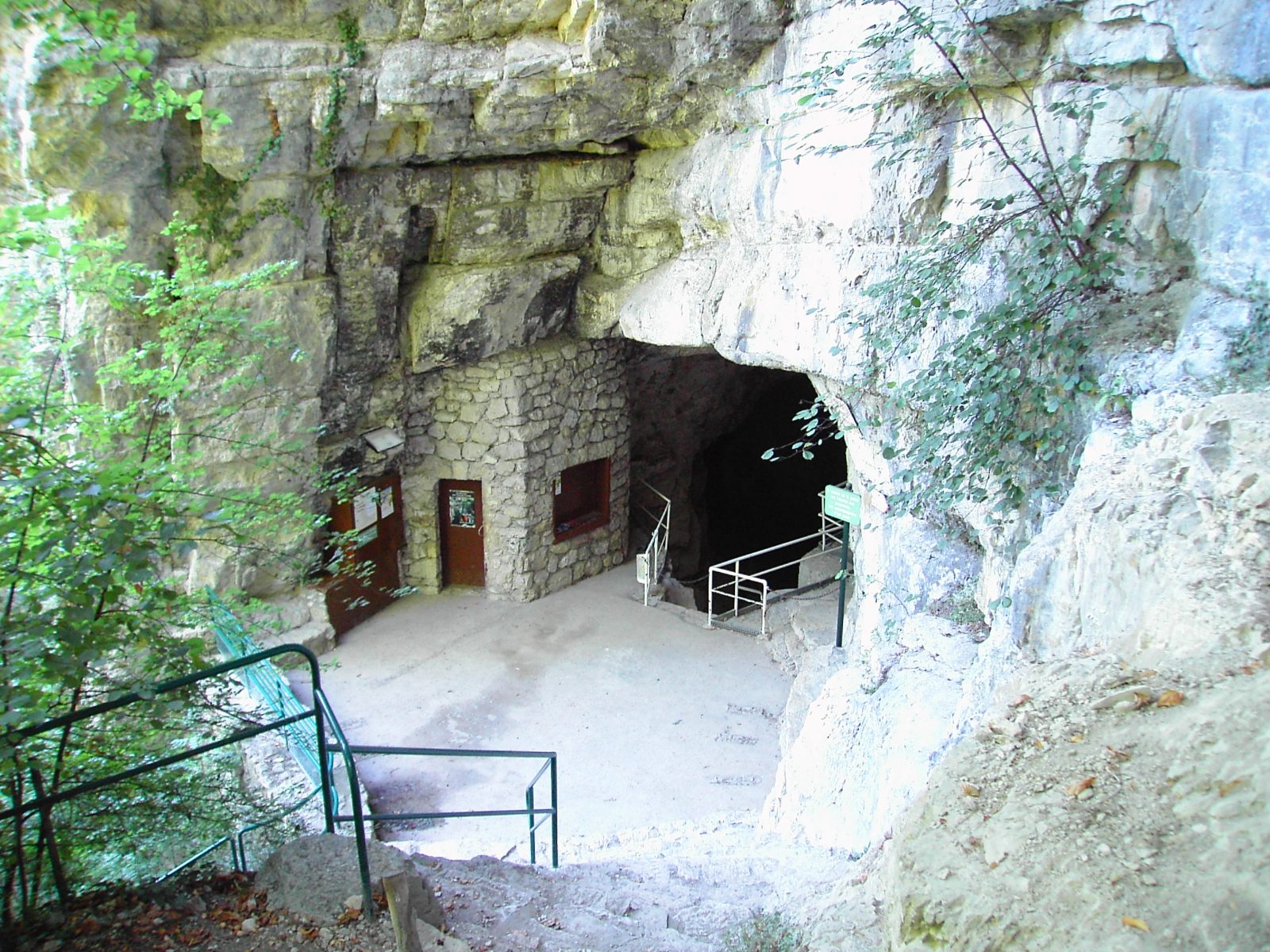
From its historic town, Sassenage invites you to discover the Cuves cave formed at the foot of the Vercors, listed as natural heritage and named the 4th wonder of the Dauphiné.
View full page →
A pretty mountain lake at 1,917 metres' altitude, easy to reach by a short hike from Chamrousse.
View full page →This day brings together 5 sites close to each other: waterfalls, villages and caves. Allow half an hour to an hour and a half per site, plus travel time.

This town, at the foot of the Vercors massif, at the mouth of very beautiful gorges, is recognised as one of the most curious in Isère with its hanging houses with colourful façades overlooking the river Bourne.
View full page →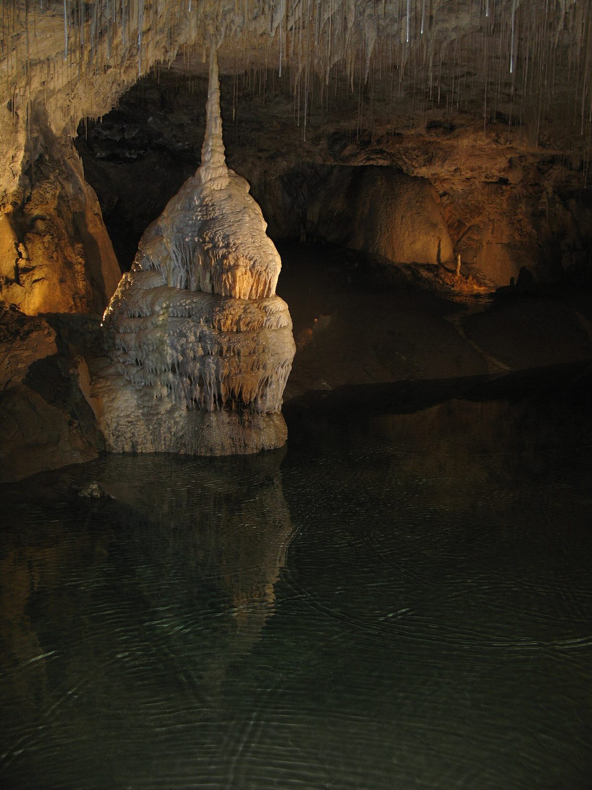
In the heart of the Vercors, explore this cave hidden in the lush nature of the Choranche cirque. The water of the underground lakes and rivers floods the crystalline whiteness of the concretions with emerald reflections.
View full page →
The Moulin-Marquis waterfall, also called the Bournillon waterfall, is in the cirque of the same name, downstream of the Bourne gorges, at the exit of Choranche (Presles) in Isère, on the northern slope of the Vercors.
View full page →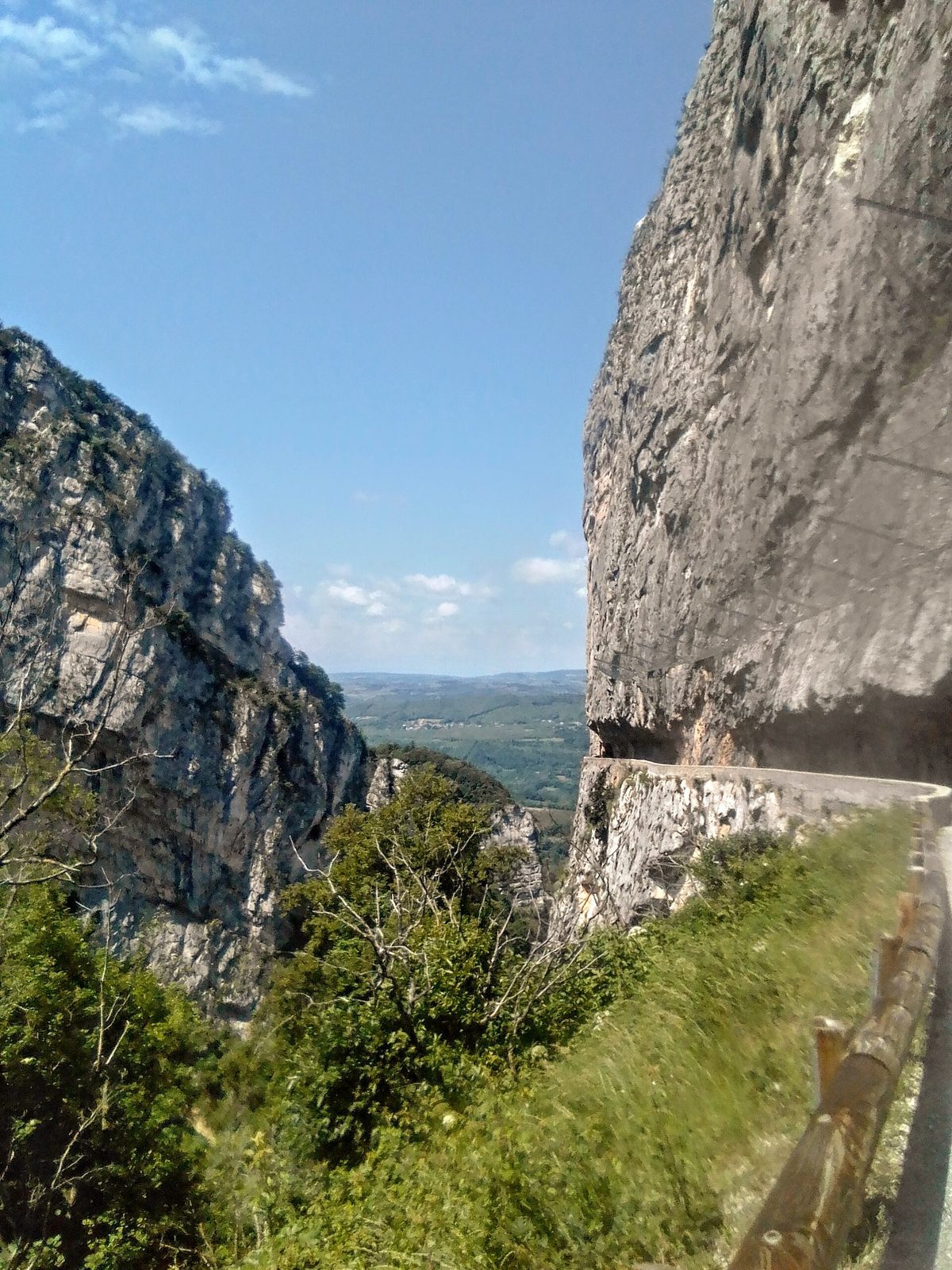
A magnificent hike in the Nan gorges (listed Sensitive Natural Area) starting from the village of Cognin-les-Gorges.
View full page →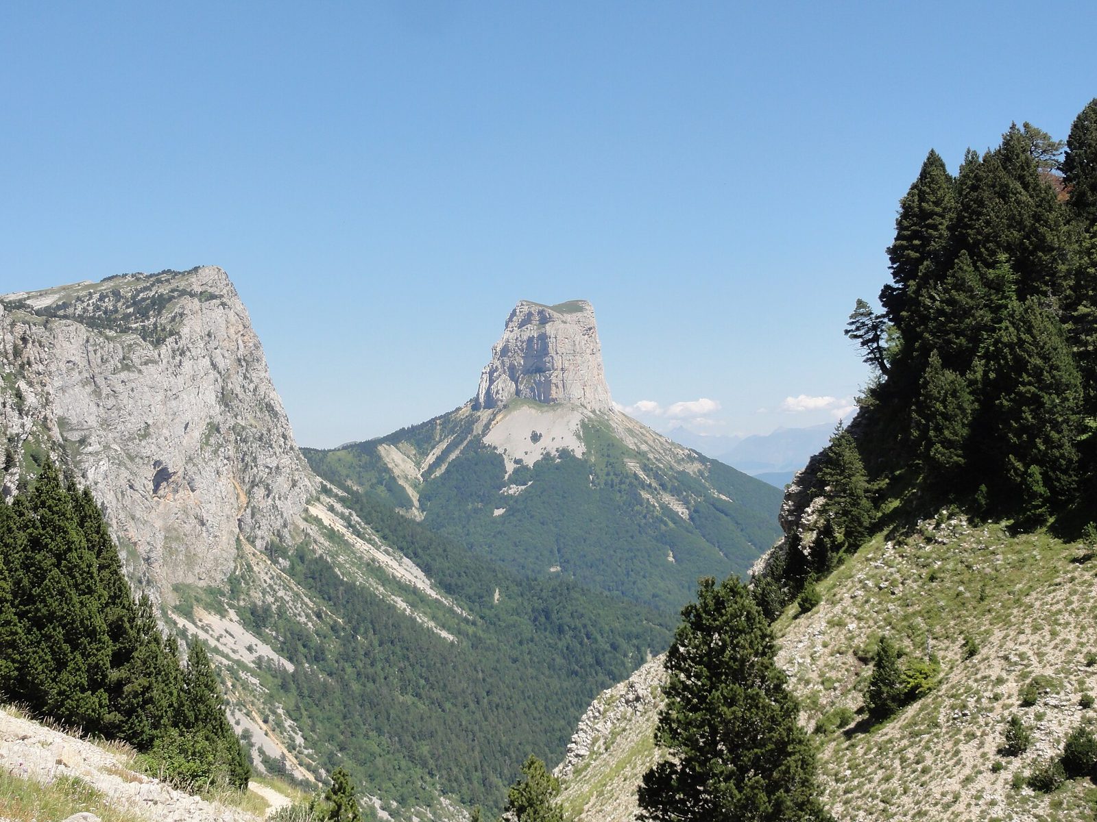
Mont Aiguille, one of the seven wonders of the Dauphiné. Mont Aiguille was once called "Mont Inaccessible" because climbing it was thought impossible.
View full page →This day brings together 4 sites close to each other: lakes, natural wonders and waterfalls. Allow half an hour to an hour and a half per site, plus travel time.
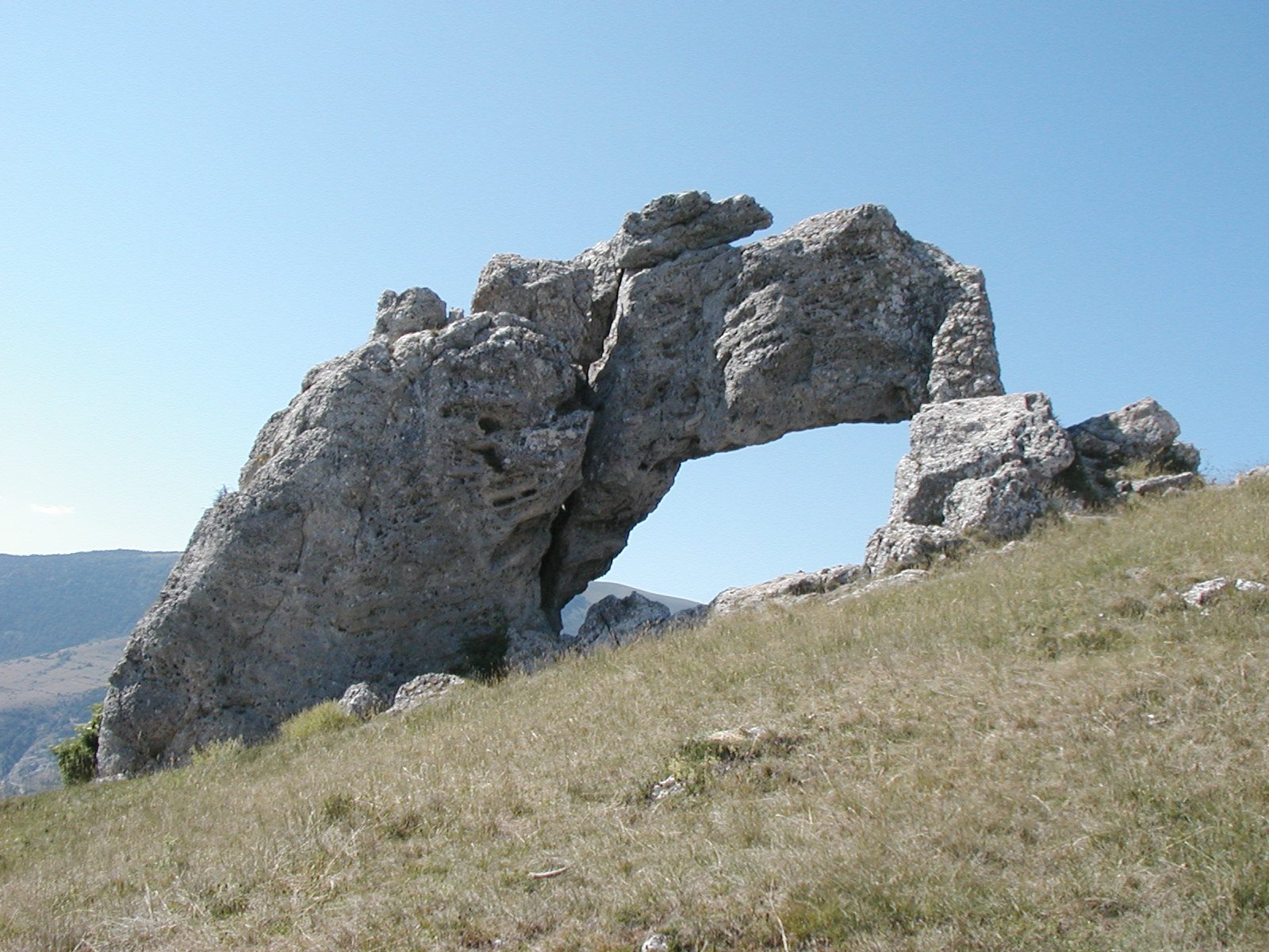
On the borders of the communes of La Motte-d'Aveillans and Pierre-Châtel, not far from La Mure, the Pierre Percée is one of the most astonishing geological curiosities of our region.
View full page →
This waterfall is at the gateway to the Écrins National Park, at 1,133 m altitude. Above the village of Le Périer, in the Valbonnais, the waterfall gushes from a rocky gully and plunges 80 m towards other torrents.
View full page →
At 1,530 metres' altitude, Lac du Lauvitel is the largest lake of the Écrins massif. It is reached from the hamlet of La Danchère. The Lauvitel is one of the most beautiful sites of the Oisans.
View full page →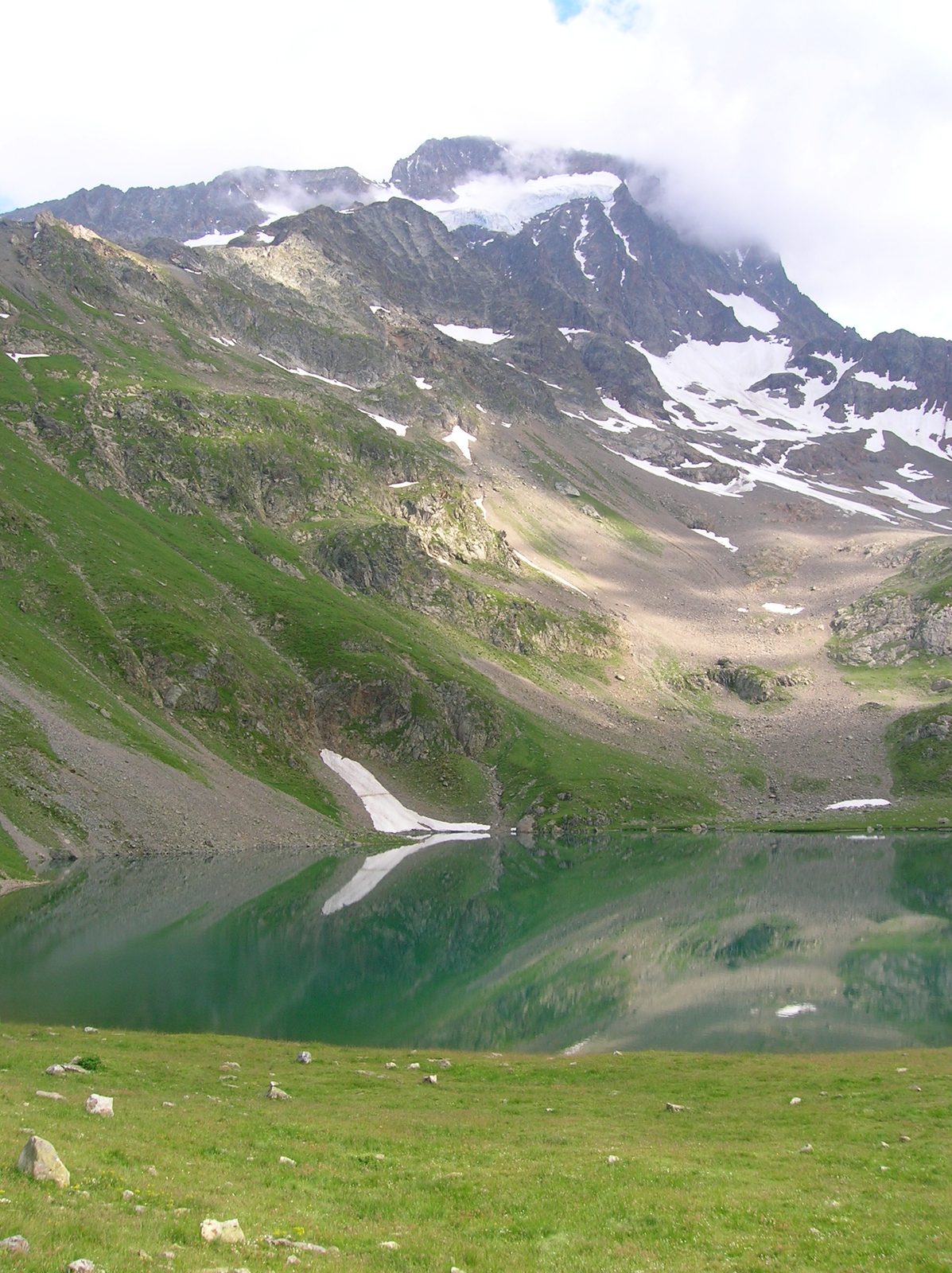
In the heart of the Écrins National Park, Lac de la Muzelle is a 9-hectare glacial lake with turquoise water, overlooked by the Roche de la Muzelle.
View full page →Spring and autumn suit hikes and towns well. Summer is ideal for the high mountains, but busier. In winter, snowy massifs sometimes close their roads.
A car is practical for linking the massifs, but the big towns are explored on foot. Some access roads, such as those of the Vercors, are narrow. Find out about road conditions in winter.

The Chartreuse Regional Nature Park is a regional nature park in the Rhône-Alpes region.

Former capital of the Dauphiné nestled at the confluence of the Isère and the Drac, encircled by three Alpine massifs visible from the city centre.
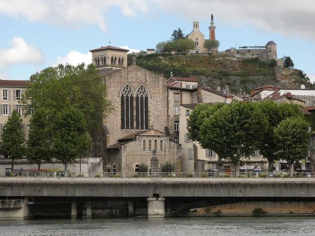
Former Roman city on the banks of the Rhône, whose Temple of Augustus and Livia and ancient theatre bear witness to a rich imperial past.
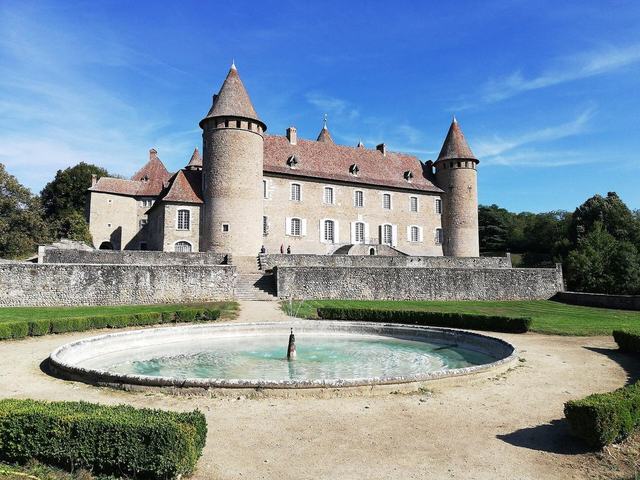
It was in the year one thousand and ten that Wilfrid de Virieu built on his lands a fortified house and gave it his name.
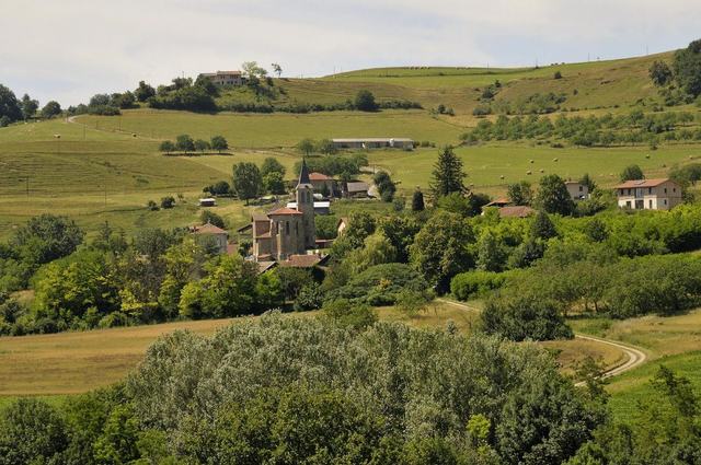
Set in the Isère département, at the gates of the Drôme, halfway between Grenoble and Valence, the medieval village of Saint-Antoine-l'Abbaye, ranked among the Most Beautiful Villages of France, is considered one of the unmissable jewels of Rhône-Alpes heritage.
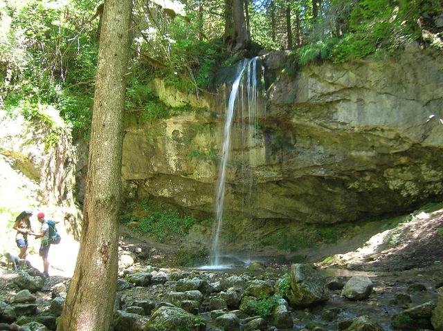
This walk will lead you to discover a preserved natural area. Park at the Cochettes car park then follow forest paths to the Pont de l'Amour.