2 days in Auvergne, on the volcano route

The Chaîne des Puys and the Sancy massif concentrate extinct volcanoes, crater lakes and easily accessible waterfalls.

Our day-by-day itinerary

The map shows the numbered stops in visiting order, with one colour per day. The line follows the roads where available; otherwise it joins the stops as the crow flies. Distances and times are approximate (by car, without traffic).

Day 1 — Le Puy de Dôme to Volcan de lemptégy

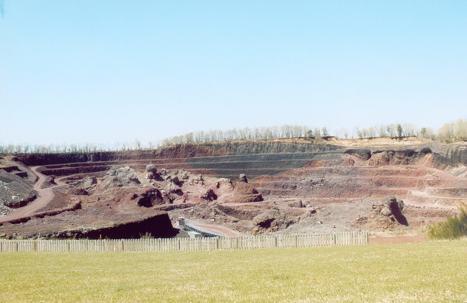
The Puy de Dôme, then the Lemptégy volcano, an open-air volcano visited from the inside.

Driving for the day: about 12.6 km, or 13 min behind the wheel in total (excluding visits).

Le Puy de Dôme
Natural wonders · Puy-de-Dôme

1 Le Puy de Dôme

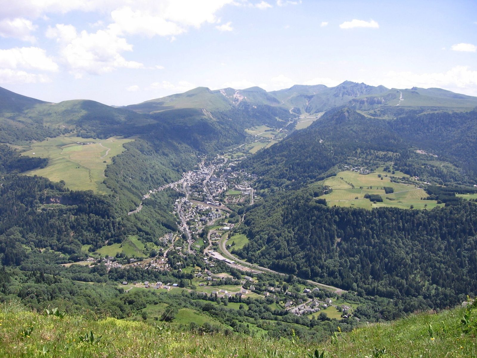
The Puy de Dôme is a dormant volcano of the Chaîne des Puys, in the Massif Central. It is about fifteen kilometres from Clermont-Ferrand and gave its name to the Puy-de-Dôme département.

View full page →
↓ 12.6 km · about 13 min by car to the next stop

Day 2 — Le Lac Pavin to Les Roches Tuilière et de Sanadoire

Lac Pavin, the Puy de Sancy, the great waterfall of Le Mont-Dore, then the Tuilière and Sanadoire rocks.

Driving for the day: about 70.5 km, or 2 h 10 behind the wheel in total (excluding visits).

Le Lac Pavin
Lakes · Puy-de-Dôme

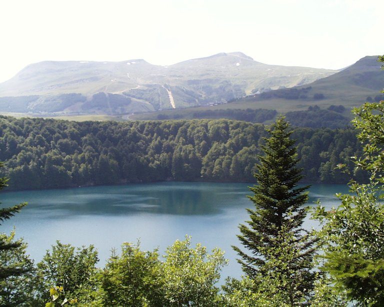
3 Le Lac Pavin

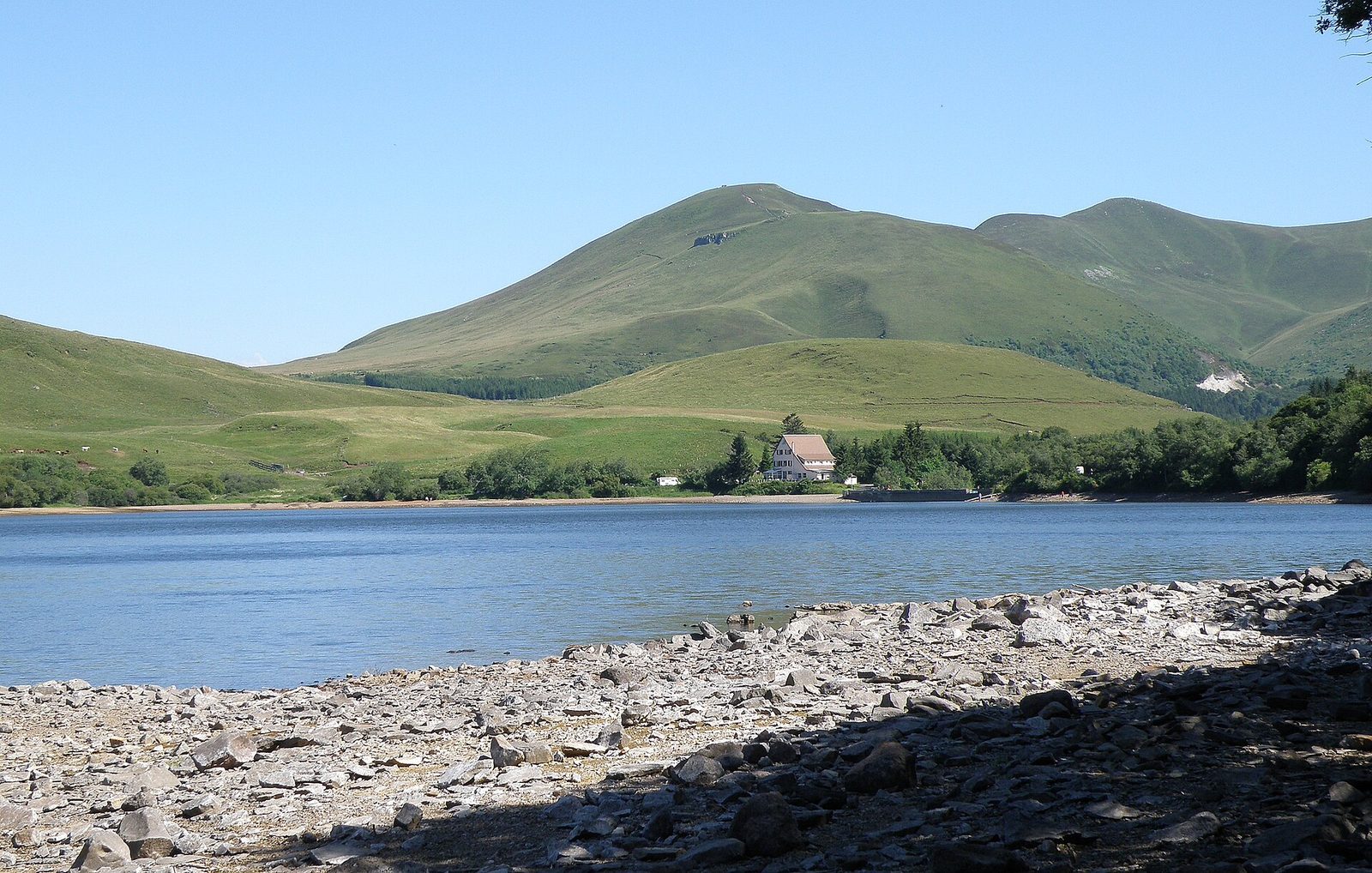
Due to a powerful volcanic explosion, Lac Pavin is a crater lake carved on the north flank of the Puy de Montchal (1,411 m).

View full page →

↓ 40.5 km · about 1 h 07 by car to the next stop

Puy de Sancy
Natural wonders · Mont-Dore

4 Puy de Sancy

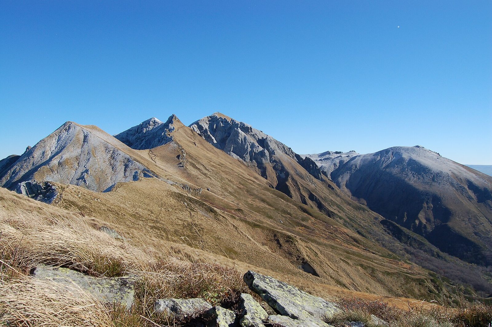
Highest point of the Massif Central at 1,885 metres, the Puy de Sancy overlooks the Monts Dore with its volcanic silhouette. Reached by gondola from Le Mont-Dore, it offers one of the widest panoramas in Auvergne.

View full page →

↓ 10.0 km · about 37 min by car to the next stop

↓ 20.0 km · about 26 min by car to the next stop

Practical tips

Sites are numbered in the recommended order. The weather changes quickly at altitude: pack a warm layer even in summer.

More itineraries