Natural wonders · Puy-de-Dôme
1 Les Roches Tuilière et de Sanadoire
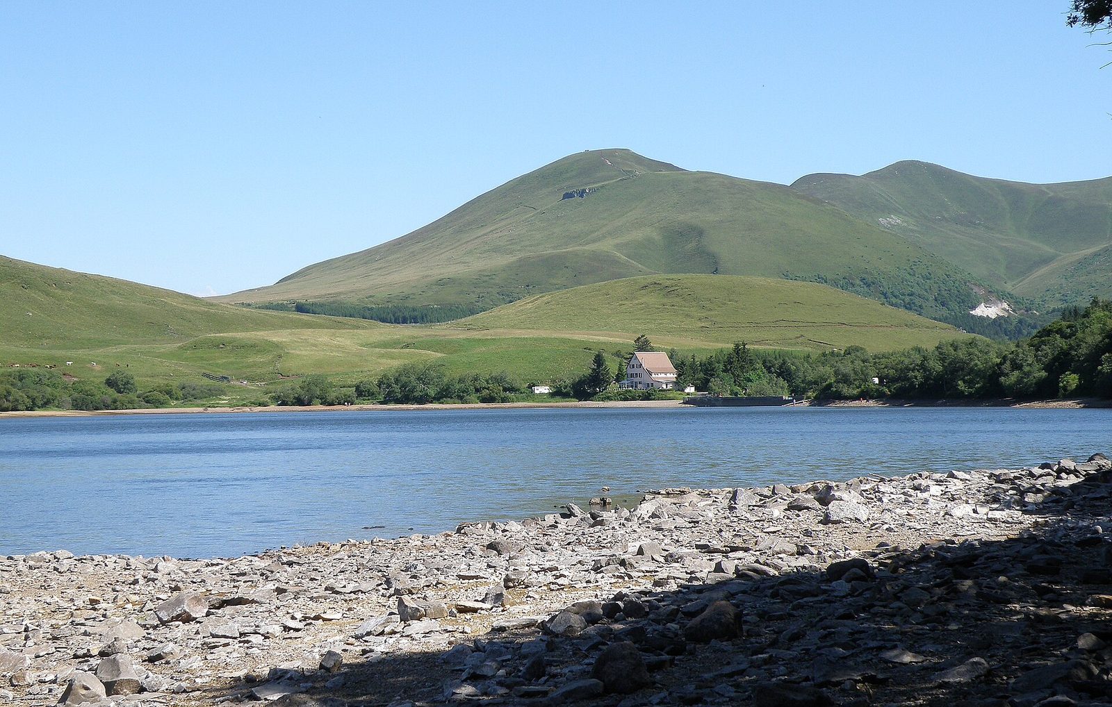
In the deep, wooded cirque of the Chausse, two great monoliths spring up, the Tuilière and Sanadoire rocks.
View full page →Auvergne is a land of extinct volcanoes, crater lakes, plateaux and waterfalls. This itinerary brings together three days of walks and natural sites in the Puy-de-Dôme, the Cantal and Haute-Loire.
Auvergne owes its landscapes to a long volcanic history. The Chaîne des Puys, the Sancy massif and the Cantal massif are former volcanoes, now extinct, whose shapes, eroded by glaciers, form valleys, cirques and plateaux.
This history also explains the presence of crater lakes, cooled lava flows, basalt rocks and mineral springs. The landscapes are varied, with meadows, fir forests and open ridges.
The waterfalls of Auvergne are numerous and varied. Some fall in sheets over basalt cliffs, others rush down wooded gorges. Several are accessible after a few minutes' walk, which makes them ideal family outings.
Their flow varies greatly with the season and the weather. In spring or after heavy rain, they are impressive. In late summer or in dry periods, some can be almost dry: find out before you go.
Beyond nature, Auvergne has many castles, Romanesque churches, characterful villages and spa towns. Auvergne Romanesque is one of the most remarkable expressions of the region's medieval art, with its volcanic-stone churches.
The villages, often built of dark stone, have a special charm. You can taste local cheeses such as Cantal, Saint-Nectaire and Fourme d'Ambert, and mountain charcuterie.
Three days let you discover several areas: the Chaîne des Puys, the Sancy massif, the Cantal mountains and Haute-Loire. Group sites by proximity and do not plan too many visits per day, as roads are slow.
The itinerary below brings together the best-rated natural sites in the catalogue, with a few heritage stops. Stay flexible: in bad weather, favour towns and churches.
The map shows the numbered stops in visiting order, with one colour per day. The line follows the roads where available; otherwise it joins the stops as the crow flies. Distances and times are approximate (by car, without traffic).
This day brings together 4 sites close to each other: natural wonders, lakes and monuments. Allow half an hour to an hour and a half per site, plus travel time.
Driving for the day: about 109.2 km, or 2 h 16 behind the wheel in total (excluding visits).
In the deep, wooded cirque of the Chausse, two great monoliths spring up, the Tuilière and Sanadoire rocks.
View full page →↓ 20.6 km · about 31 min by car to the next stop
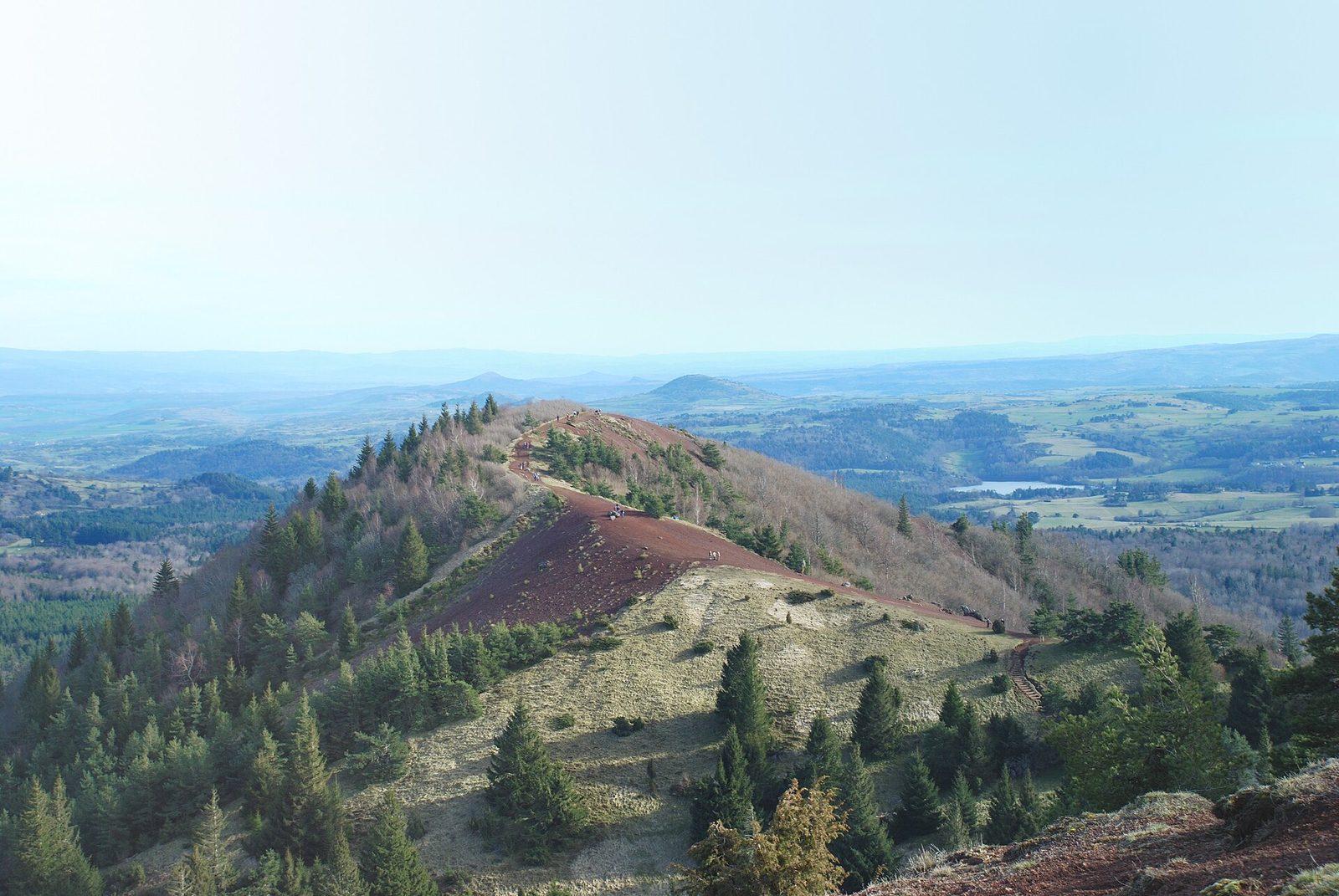
The Puy de la Vache and Lassolas are two twin volcanoes with breached craters. Fluid lava flows carried away half of the craters.
View full page →↓ 37.2 km · about 45 min by car to the next stop
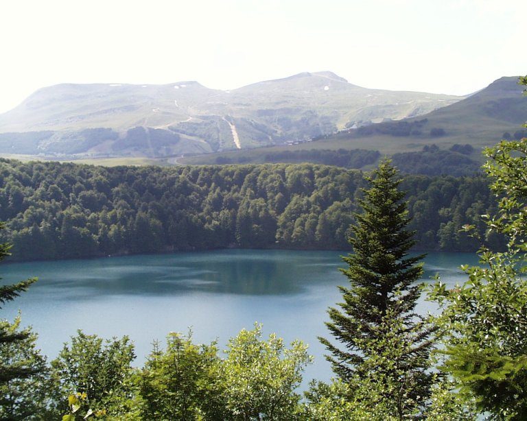
Due to a powerful volcanic explosion, Lac Pavin is a crater lake carved on the north flank of the Puy de Montchal (1,411 m).
View full page →↓ 51.4 km · about 59 min by car to the next stop

The Valley of the Saints, an Auvergne mini-Colorado, owes its name to its great penitents (10 to 30 m high!) that emerge from the vegetation – the clash of materials and colours is striking.
View full page →This day brings together 3 sites close to each other: villages, castles and monuments. It passes through Le Puy-en-Velay. Allow half an hour to an hour and a half per site, plus travel time.
Driving for the day: about 163.7 km, or 2 h 41 behind the wheel in total (excluding visits).

It was around the castle of the barons of Salers that the town grew up, and it was in the fifteenth century that the ramparts were built to protect against the English.
View full page →↓ 153.5 km · about 2 h 27 by car to the next stop
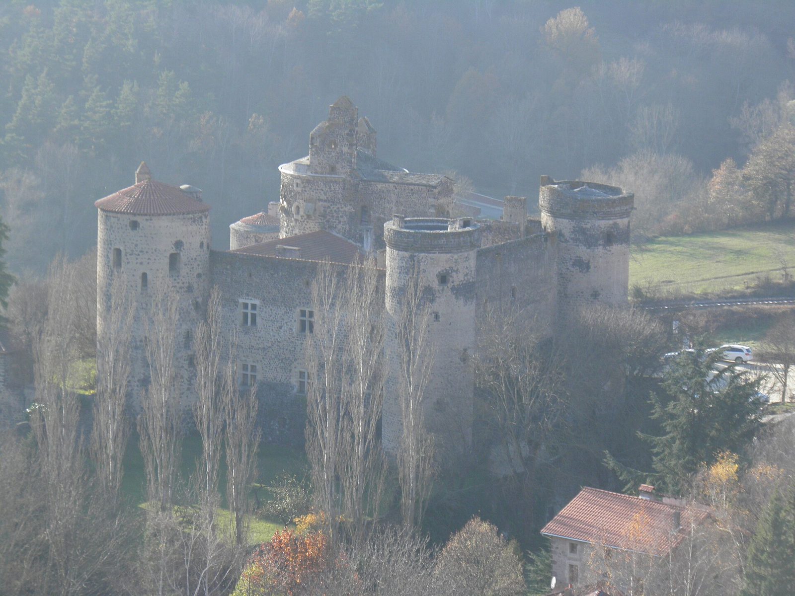
An imposing fortress in the Borne valley, fief of the La Tour de Saint-Vidal family.
View full page →↓ 10.2 km · about 14 min by car to the next stop
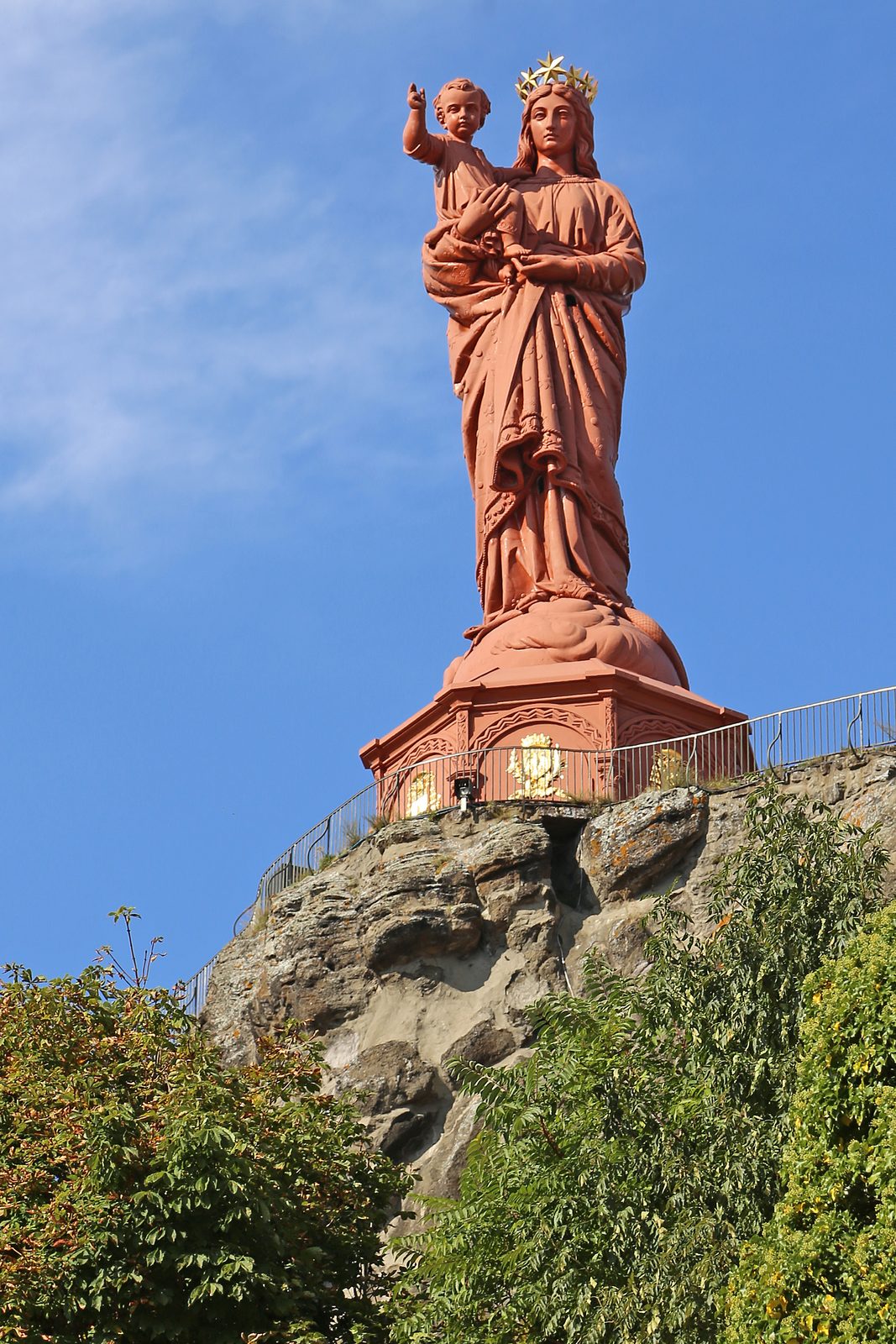
A monumental statue of the Virgin and Child cast from the iron of cannons captured at Sevastopol, dominating Le Puy-en-Velay from the top of the Corneille Rock.
View full page →This day brings together 5 sites close to each other: natural wonders, castles and waterfalls. It passes through Les Estables. Allow half an hour to an hour and a half per site, plus travel time.
Driving for the day: about 144.8 km, or 2 h 51 behind the wheel in total (excluding visits).
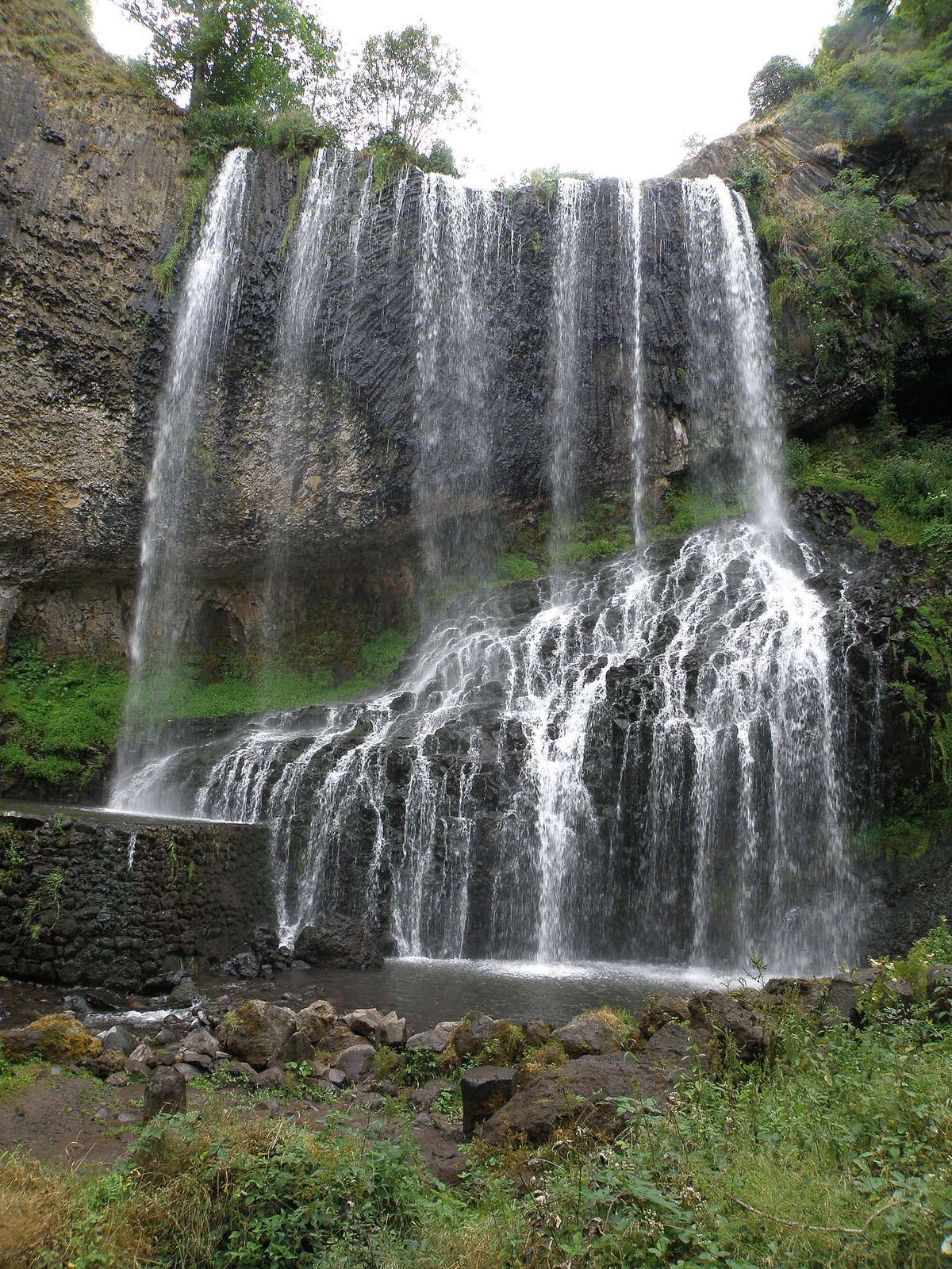
A magnificent 30 m waterfall (the largest in Haute-Loire) tumbling from a basalt cliff.
View full page →↓ 14.3 km · about 24 min by car to the next stop
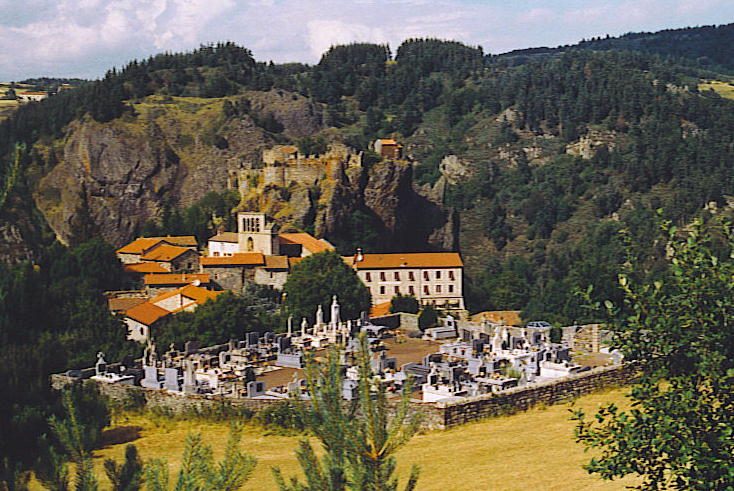
A strange rock topped by a feudal castle 80 metres above the Loire. An old lava flow "moulded" in a fissure, then cleared by erosion.
View full page →↓ 39.7 km · about 44 min by car to the next stop
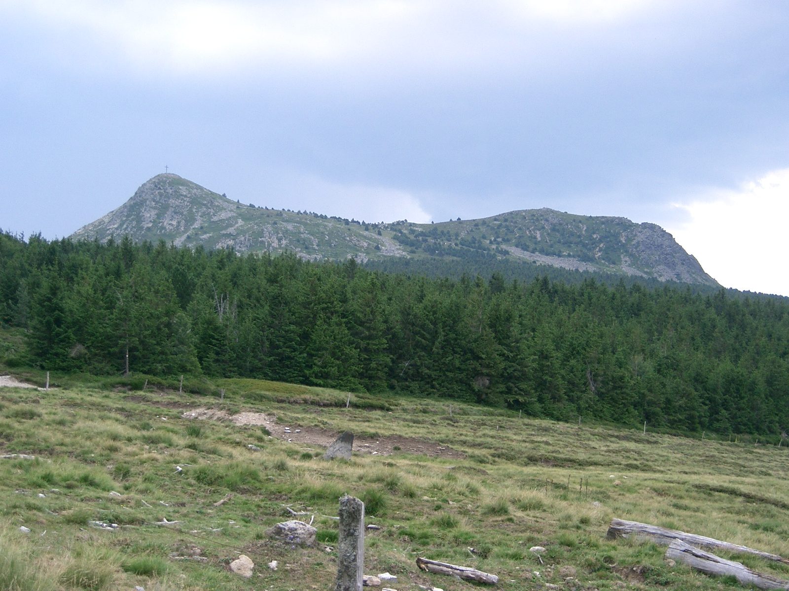
A former volcano peaking at 1,753 metres on the border of Haute-Loire and Ardèche, Mont Mézenc offers one of the widest panoramas of the Massif Central. In clear weather, the gaze reaches the Alps and the Cévennes.
View full page →↓ 60.4 km · about 1 h 07 by car to the next stop
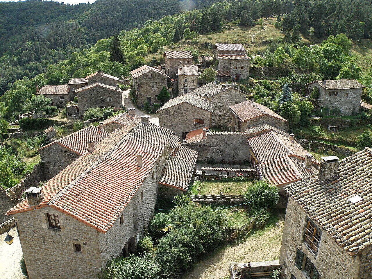
Occupied today largely by the presbytery, the castle has undergone many alterations but retains real interest.
View full page →↓ 30.4 km · about 36 min by car to the next stop
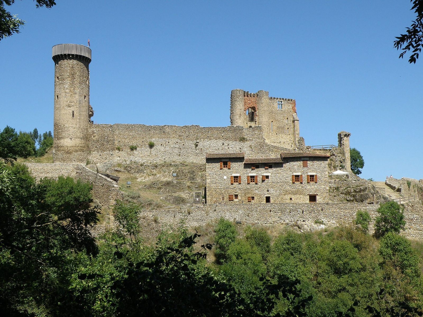
From the end of a ridge, the Château de Rochebaron overlooks the Loire gorges. Probably built by the lords of Rochebaron in the eleventh century, the castle was reworked in the fourteenth and fifteenth centuries, before being abandoned under Louis XIV.
View full page →Spring and early summer are the best times for waterfalls, which then have a strong flow. Summer is ideal for the mountains, but storms are frequent at the end of the day. Winter is snowy at altitude, with roads sometimes closed.
A car is essential: sites are scattered and mountain roads are slow. Plan short walks for most waterfalls. Check the condition of mountain roads before you go, especially out of season.
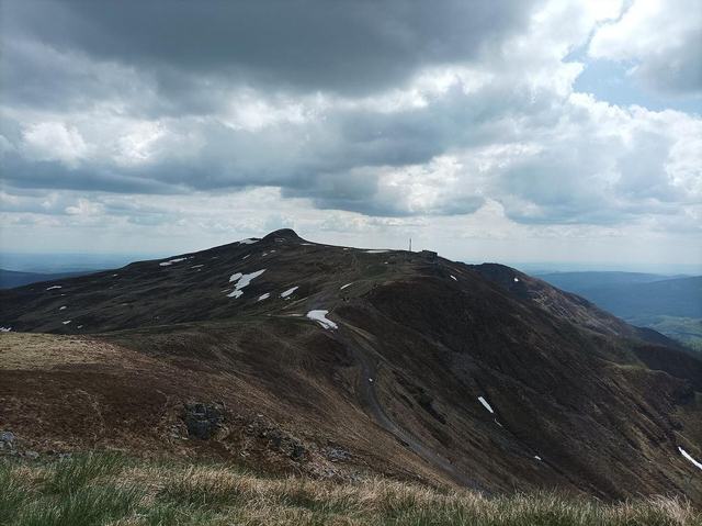
Highest point of the Cantal mountains at 1,855 metres, reached by cable car from the Lioran resort, with a 360° panorama over the whole Massif Central.
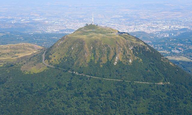
The Puy de Dôme is a dormant volcano of the Chaîne des Puys, in the Massif Central. It is about fifteen kilometres from Clermont-Ferrand and gave its name to the Puy-de-Dôme département.
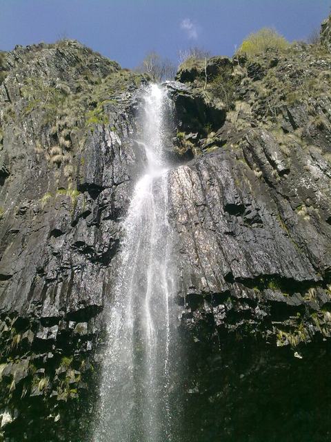
The lava came out through a fissure and diverted the Faillitoux. The river found its bed and took its place again. The waterfall crosses a basalt flow (vertically prismatic) with large crystals of pyroxene and olivine.
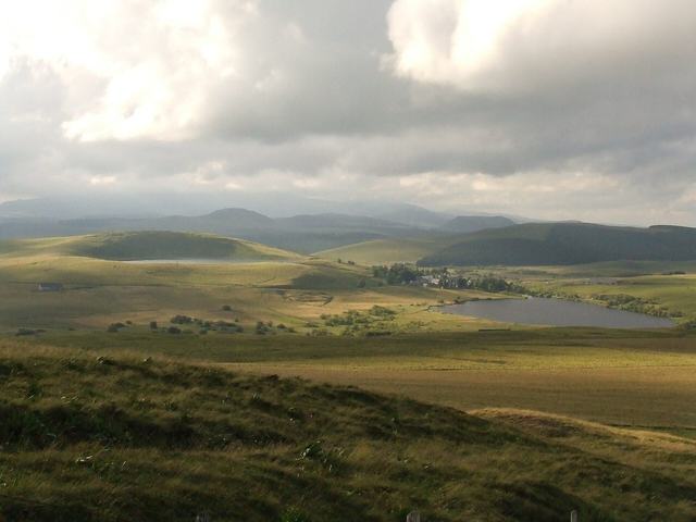
At the place called La Godivelle (Lac d'en Bas). A discovery trail lets you discover the fauna and flora of one of the most interesting peat bogs in Auvergne.
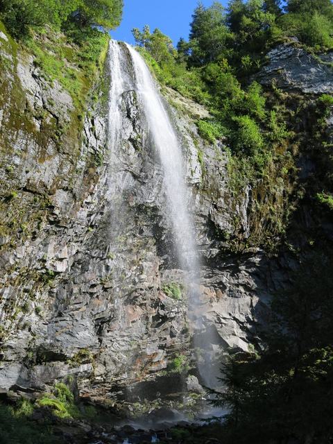
A few minutes from Queureuilh, a suburb north of Le Mont-Dore: a waterfall over basalt organ pipes.
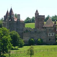
The fortified castle of Lespinasse existed at the start of the twelfth century. Still inhabited, it has escaped destruction and poor restorations.