Our day-by-day itinerary
The map shows the numbered stops in visiting order, with one colour per day. The line follows the roads where available; otherwise it joins the stops as the crow flies. Distances and times are approximate (by car, without traffic).
Day 1 — Rochers de Trébeurden to Les Rochers de Ploumanac'h
The Pink Granite Coast, between Trébeurden, the Traouïero chaos, the Île Renote and the rocks of Ploumanac'h, to be walked on the customs officers' path.
Driving for the day: about 21.7 km, or 42 min behind the wheel in total (excluding visits).
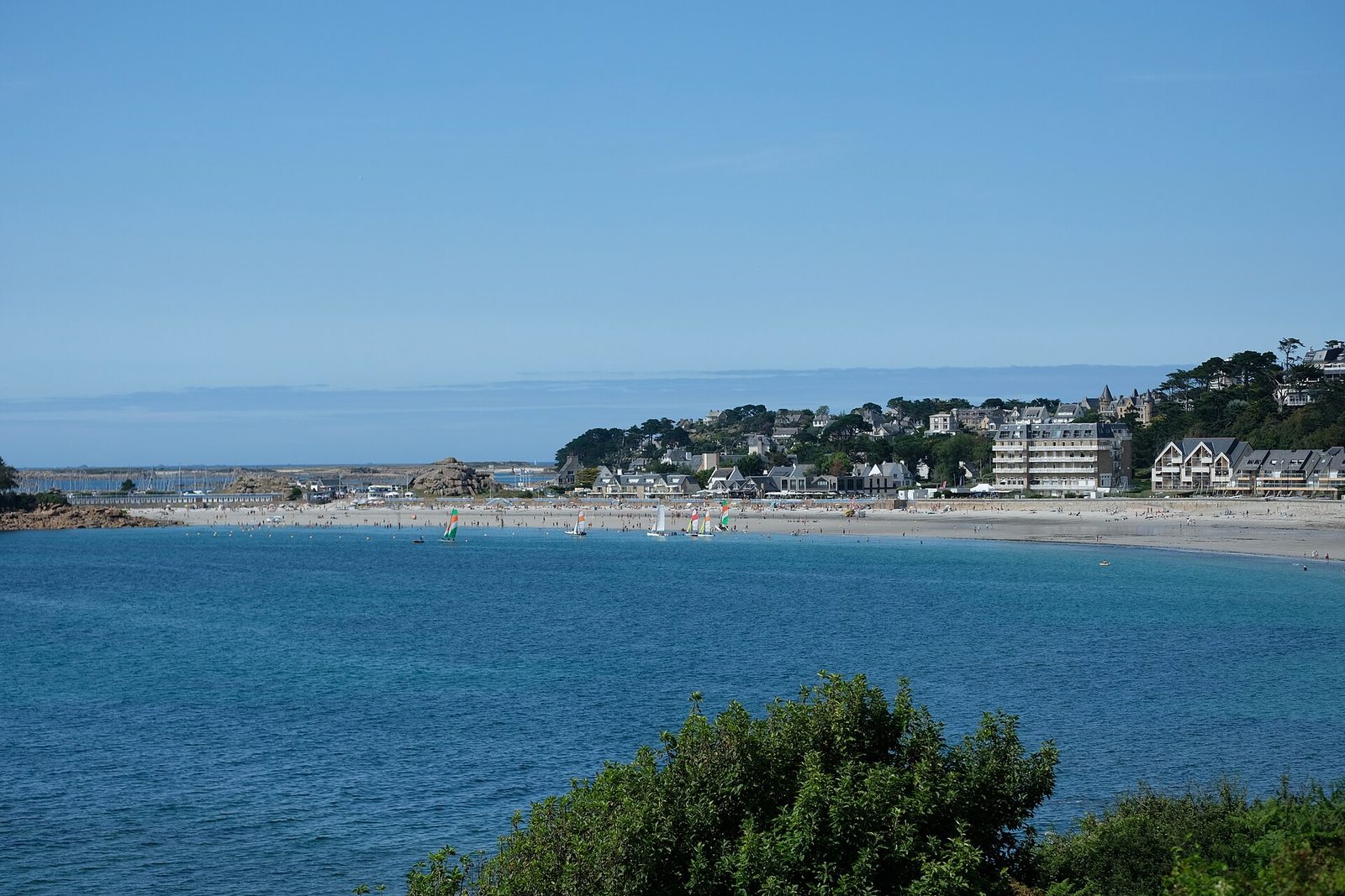
Natural wonders · Côtes-d'Armor
Trébeurden's wild coast, which unfolds on either side of these beaches, offers walks where the customs officers' path will make you stop on the Pointe du Château peninsula, where several rocks seem to turn into sculpted animals.
View full page →
↓ 13.0 km · about 21 min by car to the next stop
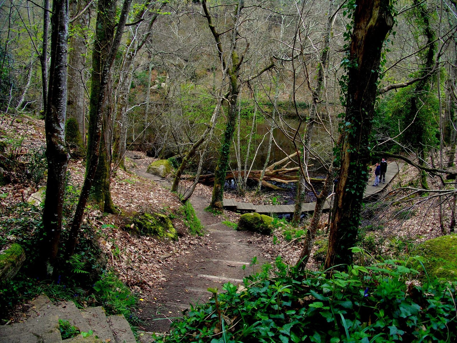
Natural wonders · Côtes-d'Armor
Between Trégastel and Perros-Guirec, on the Pink Granite Coast, hides an astonishing site: the Traouïero.
View full page →
↓ 3.2 km · about 7 min by car to the next stop
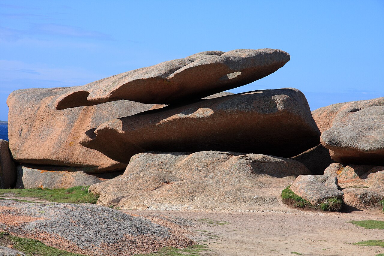
Natural wonders · Côtes-d'Armor
The Renote peninsula is a protected natural area that shelters many chaos of pink granite, with fauna and flora characteristic of the seaside.
View full page →
↓ 5.5 km · about 13 min by car to the next stop
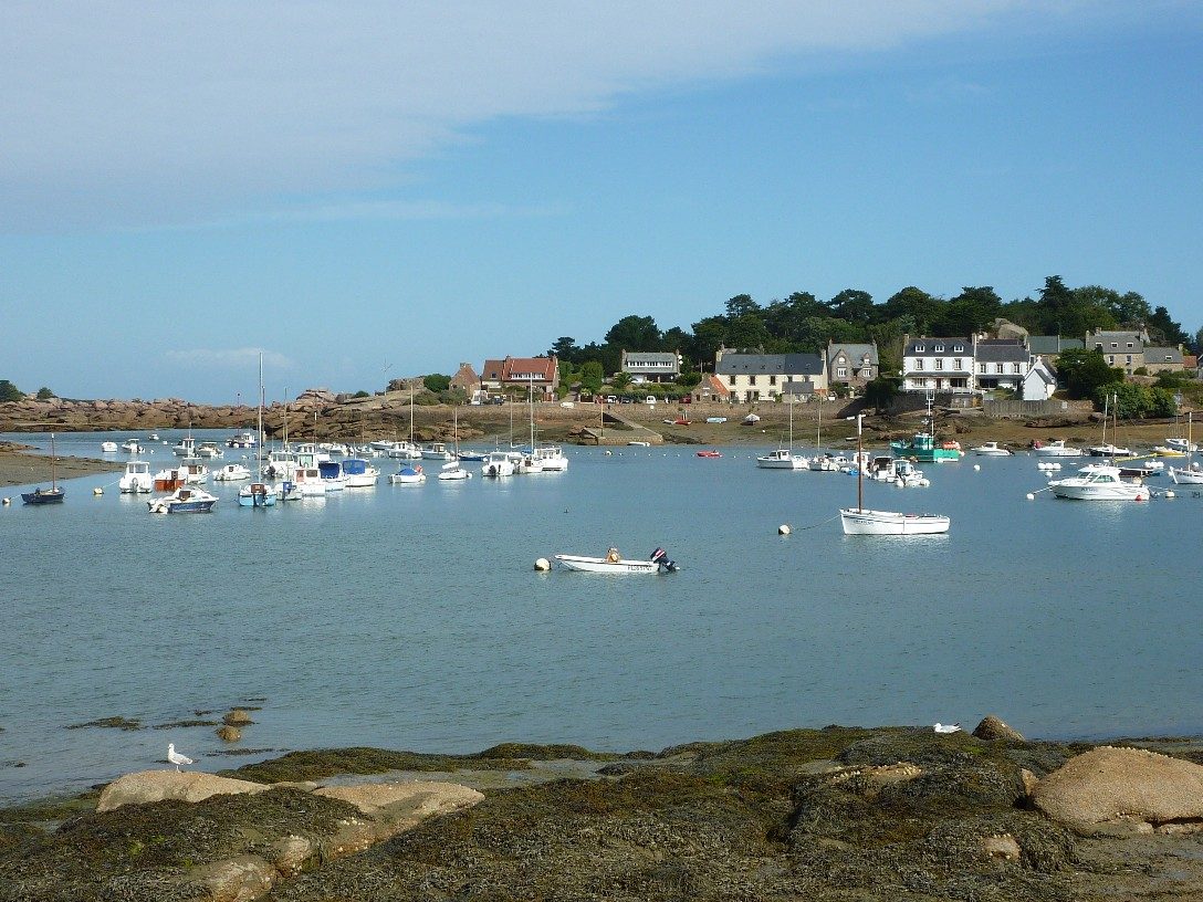
Natural wonders · Côtes-d'Armor
Sculpted by the sea and time, balanced in a sometimes more than improbable equilibrium, steeped in mystery and fuelling the imagination, the rocks recall the power of the natural elements.
View full page →
Day 2 — Sillon de Talbert to Ile de Bréhat
The Sillon de Talbert, a long shingle spit stretching into the sea, then the island of Bréhat, reached by boat.
Driving for the day: about 25.6 km, or 36 min behind the wheel in total (excluding visits).
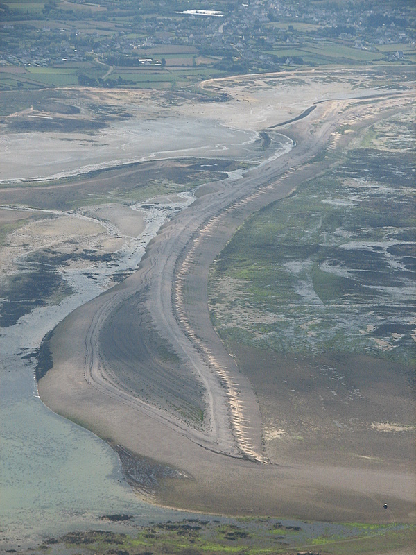
Natural wonders · Côtes-d'Armor
Phew! A haven of total peace, a place unique in the world for its specificity. An isthmus protected for bird breeding, notably the second classified site for the breeding of little terns.
View full page →
↓ 25.6 km · about 36 min by car to the next stop
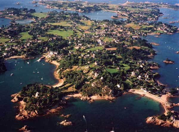
Natural wonders · Côtes-d'Armor
Île-de-Bréhat is a French commune in the Côtes-d'Armor département, north of the Pointe de l'Arcouest in Brittany, made up of the Bréhat archipelago, named after the main island.
View full page →
Day 3 — Cap d'Erquy to Les Remparts de Saint-Malo
Cap d'Erquy and its pink sandstone cliffs, Cap Fréhel and Fort La Latte, before finishing at the ramparts of Saint-Malo.
Driving for the day: about 66.0 km, or 1 h 28 behind the wheel in total (excluding visits).
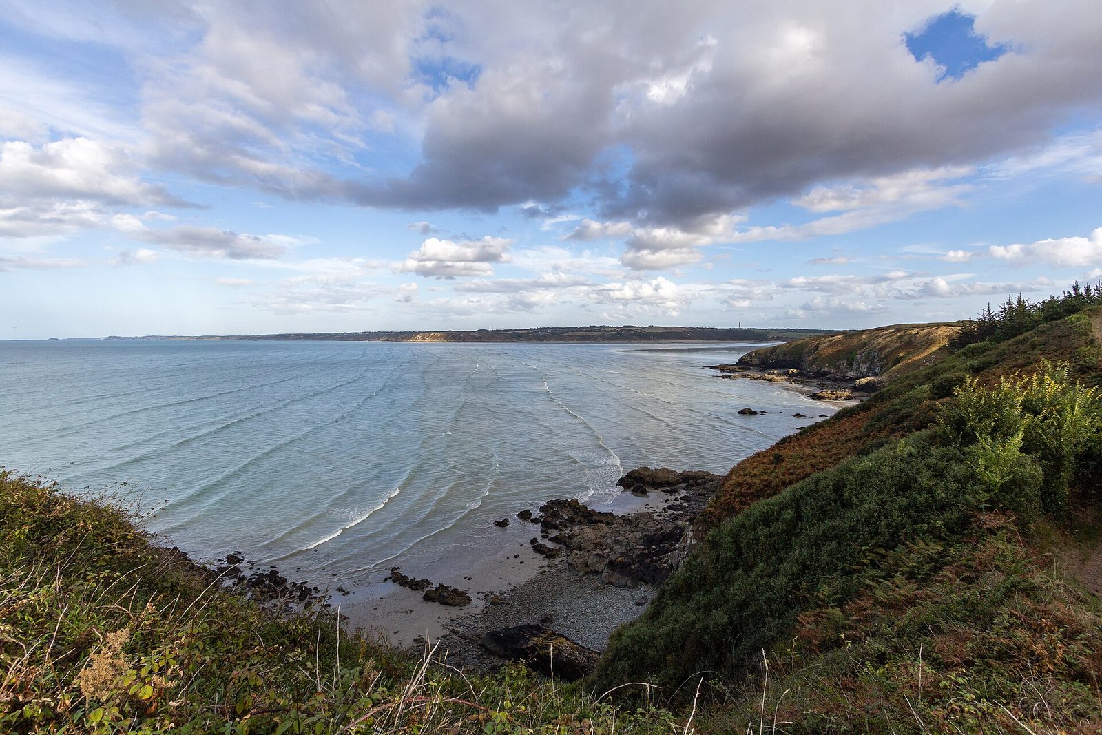
Natural wonders · Erquy
Pink sandstone cliffs 470 million years old, heaths and old quarries, at the eastern end of the bay of Saint-Brieuc.
View full page →
↓ 19.4 km · about 27 min by car to the next stop
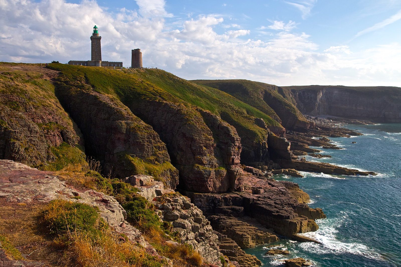
Natural wonders · Côtes-d'Armor
Cap Fréhel is the largest area (nearly 400 hectares) of coastal heath on the French coasts.
View full page →
↓ 3.9 km · about 6 min by car to the next stop
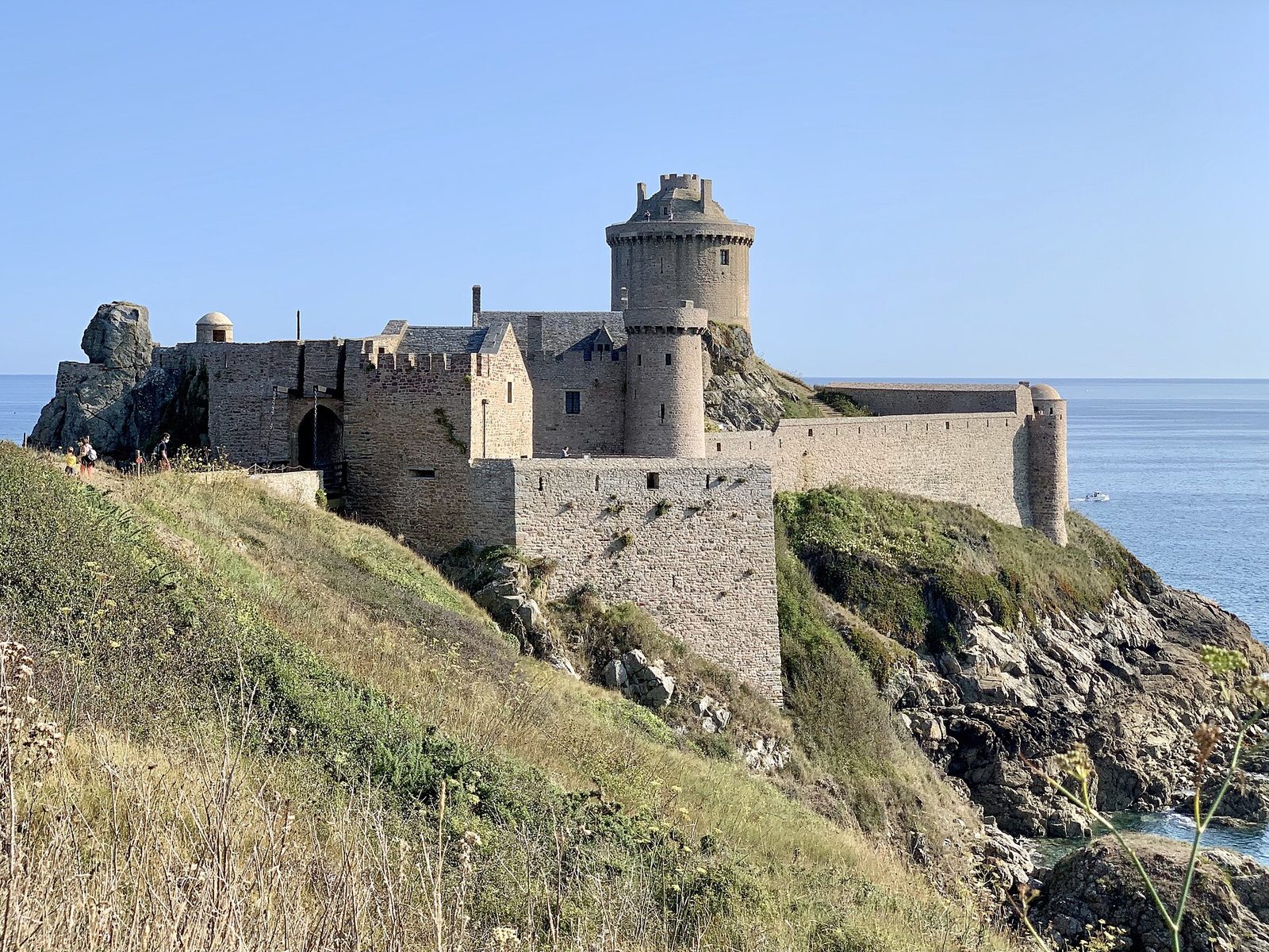
Castles · Côtes-d'Armor
Every castle has its legends, and Fort La Latte is no exception.
View full page →
↓ 42.7 km · about 55 min by car to the next stop
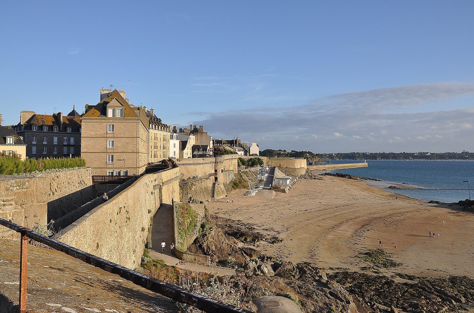
Castles · Ille-et-Vilaine
Their construction began in 1144, at the instigation of the bishopric of Aleth moving its seat to the rock, the layout of the place allowing better defence.
View full page →
Practical tips
Sites are numbered in the recommended order. Pack a windproof jacket in every season: on these headlands, wind is the norm.
More itineraries