Photo : Gilbert Bochenek / Wikimedia Commons (CC BY 1.0)
Le Marais Poitevin
The Marais Poitevin is the second-largest wetland in France after the Camargue. It covers about 110,000 hectares, straddling Vendée, Deux-Sèvres and Charente-Maritime. It corresponds to the former Gulf of the Pictones, gradually filled by sediment, then developed by humans.
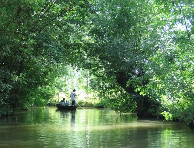
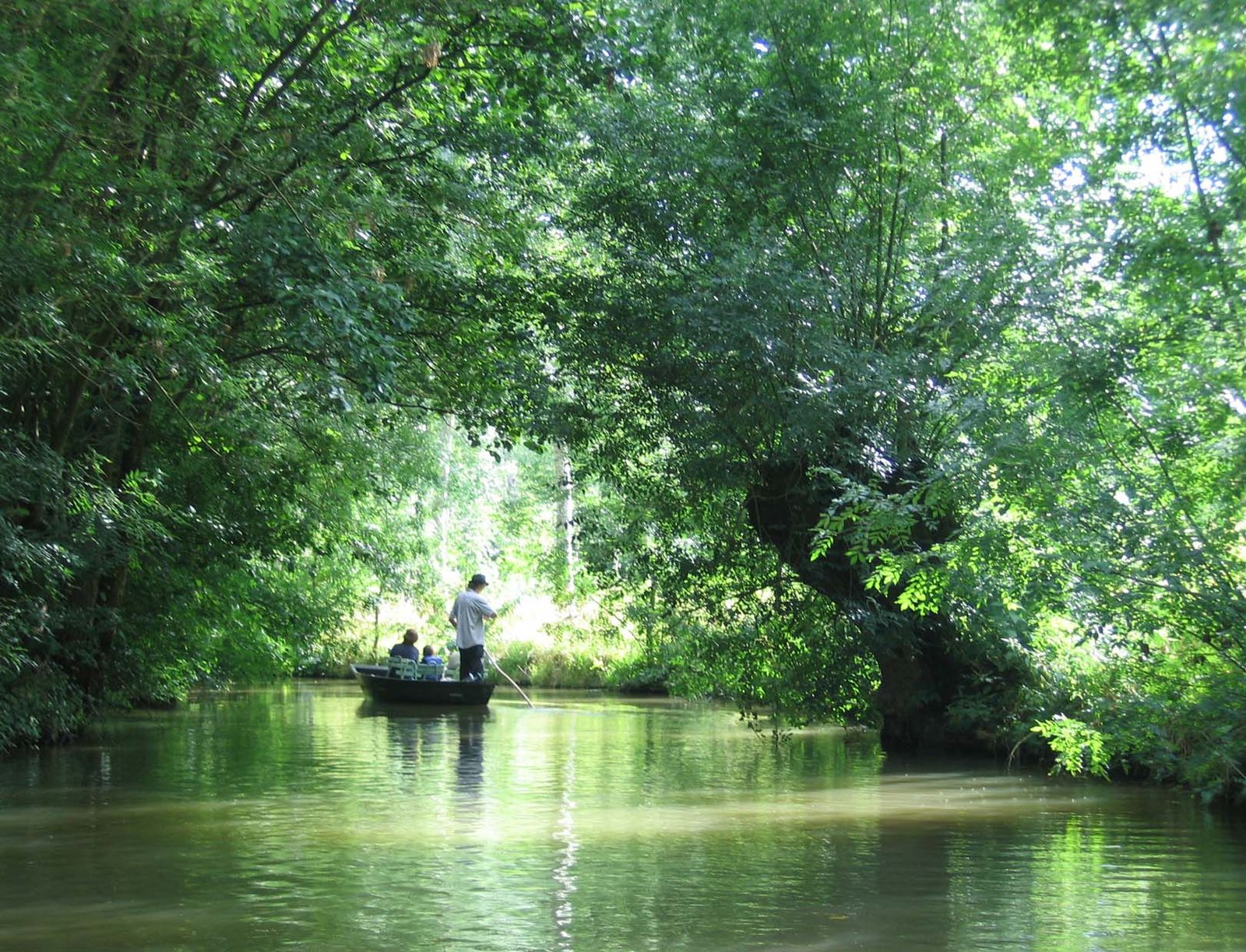
Three zones can be distinguished: the wet marsh (about 29,000 hectares), the one known as the Green Venice, criss-crossed by canals; the drained marsh (47,000 hectares); and the intermediate marsh (19,000 hectares). The first drainage works were carried out by monastic communities from the tenth century. They developed strongly under Henry IV, with the engineer Pierre Siette, then canals were added in the nineteenth century.
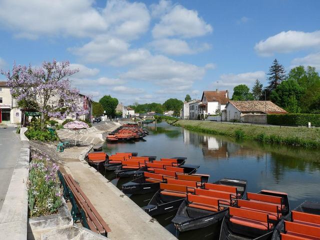
The landscape is characterised by villages along the waterways and by flat-bottomed boats used for getting around. The site received the Grand Site de France label in 2010 and was recognised as a Ramsar site in 2023; it is also part of the Natura 2000 network. Tourism has become important there since the 1920s.