Photo : Andy Hawkins / Wikimedia Commons (CC BY-SA 2.0)
Col de Peyresourde
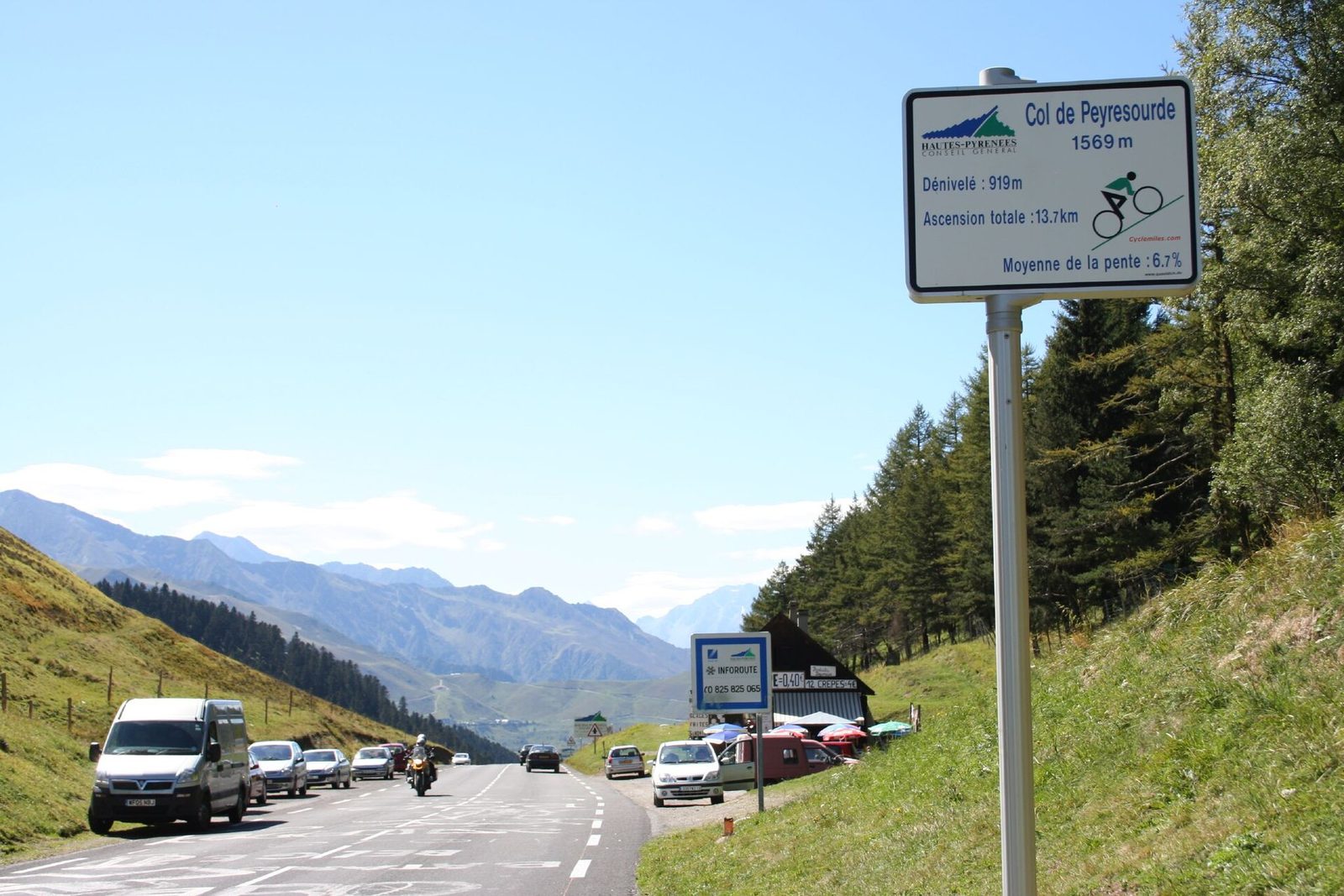
The Col de Peyresourde rises to about 1,568 metres' altitude, in the central Pyrenees. Its road links Bagnères-de-Luchon to Arreau, and its summit marks the boundary between Haute-Garonne and the Hautes-Pyrénées. It has long been the main passage between the Louron valley, the Larboust and Luchon.
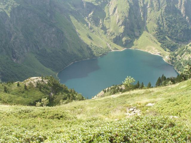
The road on the Larboust side was laid out in the eighteenth century on the order of the intendant Mégret d'Étigny, and a state forest was created in the early twentieth century to protect the route from avalanches and mudflows. The pass is one of the Tour de France classics: the peloton has crossed it more than seventy times since 1910. Near the summit are the Peyragudes ski resort and the Peyresourde-Balestas altiport. The climb offers views of Vielle-Louron and of Lake Génos-Loudenvielle, and the last stretch, straight, is exposed to the wind.